Fish Creek Campground And Trailhead
Open year-round on a first-come, first-served basis. This is an unstaffed facility with no advance reservations. Payment via cash or check in fee tube, or scan QR code with Recreation.gov mobile app. The campground recently underwent renovation. Weather and snowmelt affect accessibility.
Hydrologic Outlook issued October 8 at 3:13PM MDT by NWS Salt Lake City UT
ESFSLC The remnants of Tropical Storm Rachel will merge with a fall-like storm system over the western United States, bringing moderate to heavy rainfall and a resulting threat of flooding. Widespread rainfall of 1 to 3 inches is expected, locally in excess of 3 inches, particularly across south aspects of southern Utah mountains, between late Saturday and Monday morning. Expect many area waterways including streams, rivers, normally dry washes, creeks, and slot canyons to have rising, fast flows by Sunday evening. Current forecasts do not bring any rivers to flood stage, but this will be monitored as the fine details of heavy rain bands become more confident. Those with activities near rivers, streams, creeks and recent burn scars should closely monitor the forecast over the next several days. Those with outdoor plans Sunday onward that include any travel near waterways across Utah should consider alternate plans. Scattered showers and thunderstorms will remain possible through at least Wednesday. While the rainfall rates with these additional rounds of precipitation will generally be lower, areas that receive significant precipitation during the weekend will be extra sensitive to any additional rainfall.
Weed Free Hay Order 04-2021-03
Prohibited by this order: Possessing, storing, or transporting non-pelletized hay, straw, or mulch in the Intermountain Region, unless it is certified as weed free by the state where the product originated.
Fireworks and Spark Arrestor Order 04-2021-01
Prohibited by this order: Possessing, discharging, or using any kind of firework or other pyrotechnic device. 36 CFR §261.52(t)Operating or using any internal or external combustion engine without a spark arresting device properly installed, maintained and in effective working order as described…
About
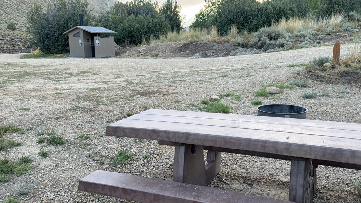
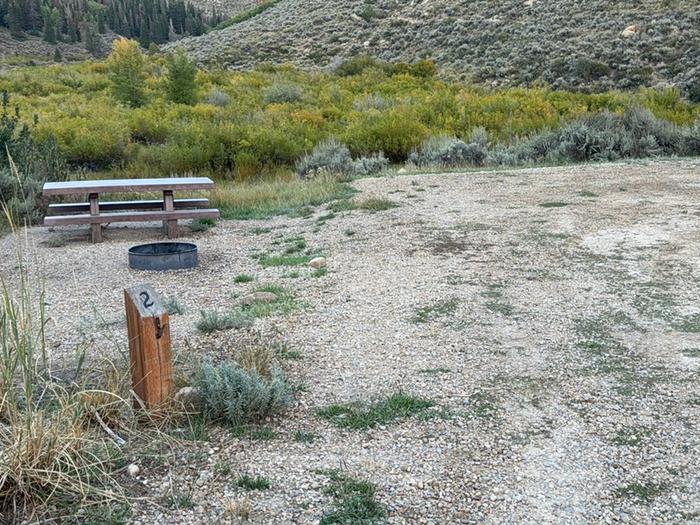
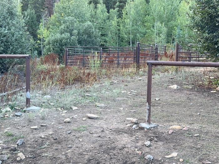
Fish Creek Campground is a primitive horse-friendly campground located 2.5 miles west of Scofield Reservoir in the Manti-La Sal National Forest. Situated at 7,720 feet elevation in an open area with partial shade from surrounding aspens, this small campground offers 6-8 sites designed to accommodate both tent campers and equestrian users with dedicated horse trailer parking and a corral. The campground serves as the trailhead for the Fish Creek National Recreation Trail, a 9.6-mile route that follows Fish Creek drainage with two bridged crossings, climbing 1,080 feet from the campground to Skyline Drive. Stream fishing is available at adjacent Fish Creek, or visitors can travel to nearby Scofield Reservoir for lake fishing. Facilities are basic: a vault toilet, fire rings, and picnic tables at each site. There is no potable water, no trash service (pack it in, pack it out), no showers, and no hookups. Cellular service is limited or nonexistent. The campground operates on a first-come, first-served basis with payment via fee tube or Recreation.gov mobile app QR scanning.
Directions
Located 2.5 miles west of Scofield Reservoir in the Spanish Fork-Scofield Recreation Area. For specific driving directions, contact the Price Ranger District at (435) 636-3500.
Location
Amenities
| Water | No |
| Fires Allowed | Yes |
| Toilets | Yes |
| Dump Station | No |
| Wifi | No |
| Pets Allowed | Yes |
| Showers | No |
| Electric Hookups | — |
| Water Hookups | — |
| Sewer Hookups | — |
| Camp Store | No |
| Price | $7 |
Vehicle
| Max RV Length | — |
| Max Trailer Length | — |
| Big Rig Friendly | No |
| Pull Through Sites | — |
Contact
| Phone | +1 (435) 384-2372 |
Cell Service
| AT&T | Yes |
| Verizon | None |
| T-Mobile | None |
Photos
Community Posts
No posts yet. Be the first to share your experience!