Cozy Cove
Closed for the season. Opens June 19 and operates through September 30. Reservations available via Recreation.gov.
Weed Free Hay Order 04-2021-03
Prohibited by this order: Possessing, storing, or transporting non-pelletized hay, straw, or mulch in the Intermountain Region, unless it is certified as weed free by the state where the product originated.
Fireworks and Spark Arrestor Order 04-2021-01
Prohibited by this order: Possessing, discharging, or using any kind of firework or other pyrotechnic device. 36 CFR §261.52(t)Operating or using any internal or external combustion engine without a spark arresting device properly installed, maintained and in effective working order as described…
Explosives and Exploding Target Order 04-2021-02
This order prohibits the use of explosives and exploding targets on National Forest System lands within the Intermountain Region.
About
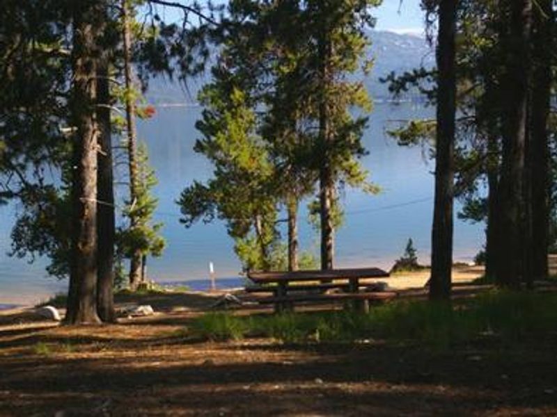
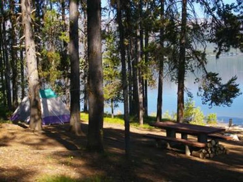
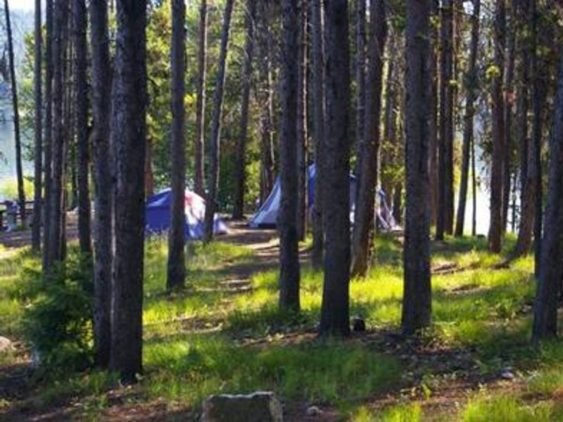
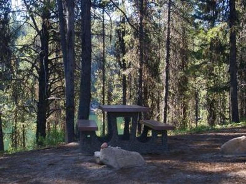
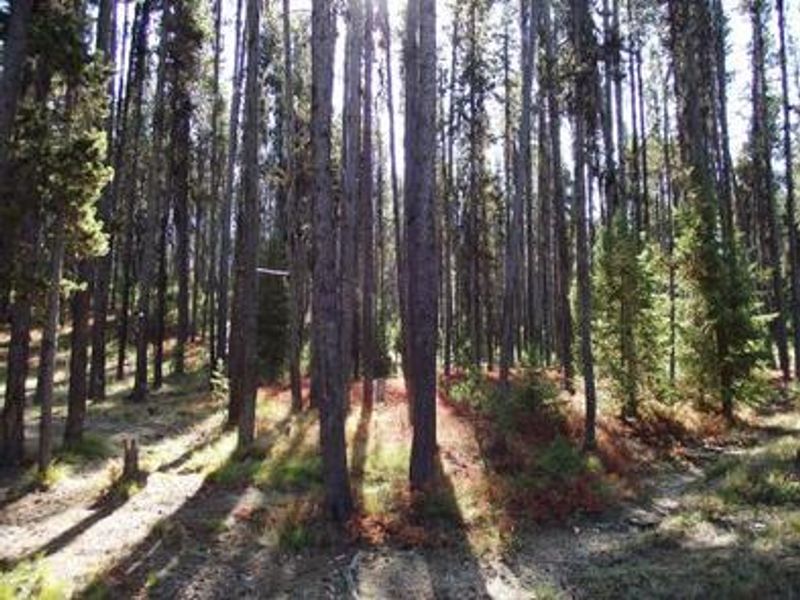
Cozy Cove Campground occupies the southeast shore of Deadwood Reservoir at 5,300 feet elevation in the Boise National Forest. The remote location keeps the area quiet and unpopulated, making it ideal for anglers targeting Chinook salmon, Kokanee salmon, rainbow trout, and cutthroat trout. All 16 campsites are situated on a bluff with lake views, shaded by a mixed-growth pine forest abundant with summer wildflowers. The campground includes basic amenities: vault toilets, potable drinking water, and a concrete boat ramp for direct reservoir access. Boating, water skiing, canoeing, and kayaking are popular activities on the lake. The surrounding area offers extensive trails for hiking, mountain biking, horseback riding, and off-road vehicle use. Access requires travel on Forest Service roads, with dirt roads and parking spurs throughout the campground. The remote setting and primitive facilities make this a destination for those seeking a quieter outdoor experience away from developed recreation areas.
Directions
From Boise, take Highway 55 north to Banks (38 miles). Turn right onto Highway 17 and travel 31 miles to Lowman. Turn left at the intersection onto Highway 21 and continue northeast toward Stanley for approximately 40 miles. Turn west on Forest Road 579 at Banner Creek, then south on Forest Road 555 to Deadwood Reservoir. The campground is on the southeast end.
Amenities
| Water | Yes |
| Fires Allowed | — |
| Toilets | Yes |
| Dump Station | — |
| Wifi | No |
| Pets Allowed | — |
| Showers | No |
| Electric Hookups | — |
| Water Hookups | — |
| Sewer Hookups | — |
| Camp Store | No |
| Price | $12 |
Vehicle
| Max RV Length | 100ft |
| Max Trailer Length | 100ft |
| Big Rig Friendly | — |
| Pull Through Sites | No |
Contact
| Phone | +1 (208) 259-3361 |
Cell Service
| AT&T | None |
| Verizon | None |
| T-Mobile | None |
Availability
Photos

Community Posts
No posts yet. Be the first to share your experience!