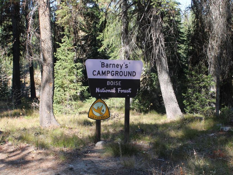
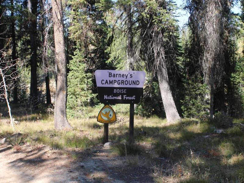
Barneys Campground
Closed for the season. Opens June 19 with full services including drinking water and vault toilets through September 30. After September 30, the area reverts to dispersed camping with no water or toilet facilities until snow closes access.
Weed Free Hay Order 04-2021-03
Prohibited by this order: Possessing, storing, or transporting non-pelletized hay, straw, or mulch in the Intermountain Region, unless it is certified as weed free by the state where the product originated.
Fireworks and Spark Arrestor Order 04-2021-01
Prohibited by this order: Possessing, discharging, or using any kind of firework or other pyrotechnic device. 36 CFR §261.52(t)Operating or using any internal or external combustion engine without a spark arresting device properly installed, maintained and in effective working order as described…
Explosives and Exploding Target Order 04-2021-02
This order prohibits the use of explosives and exploding targets on National Forest System lands within the Intermountain Region.
About
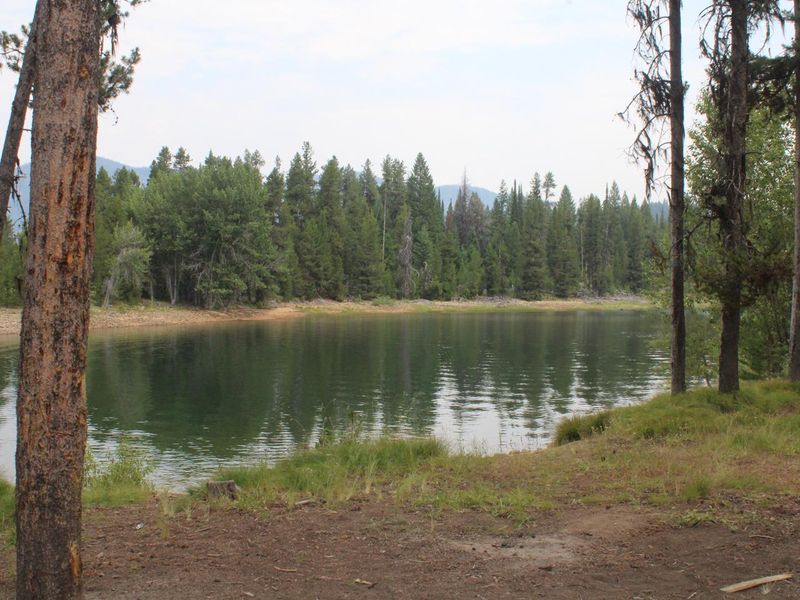
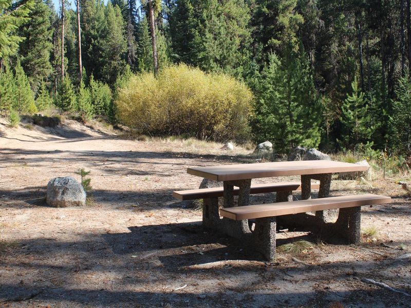
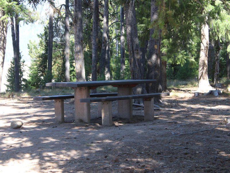
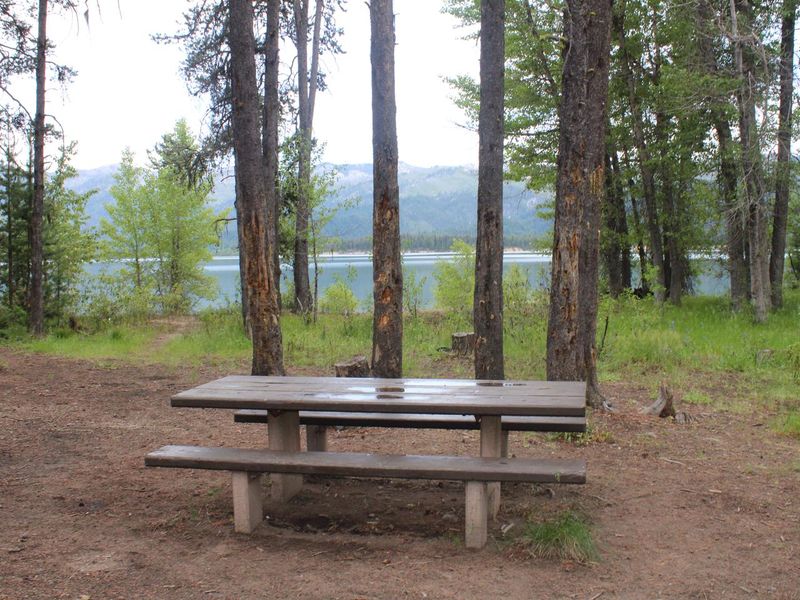
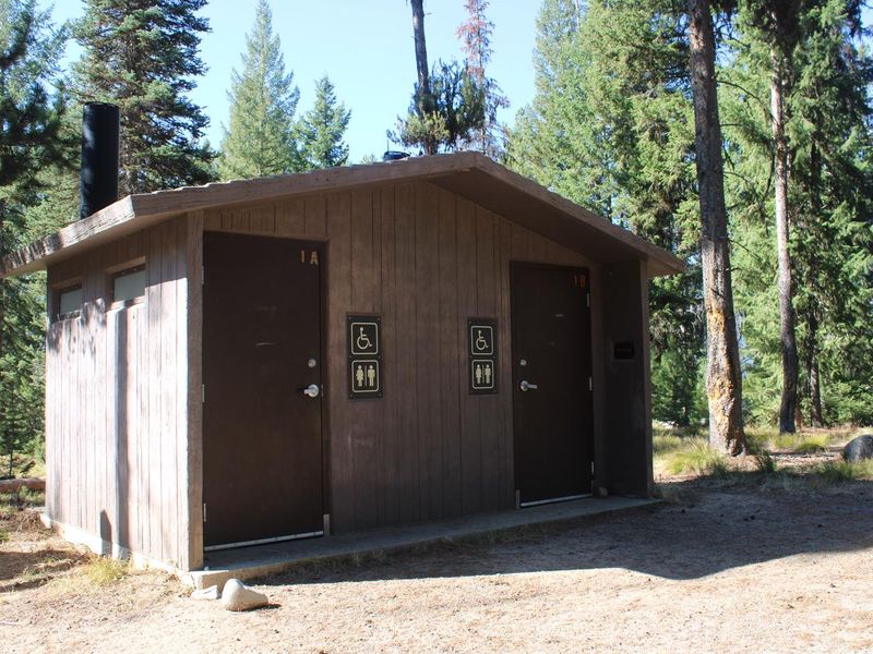
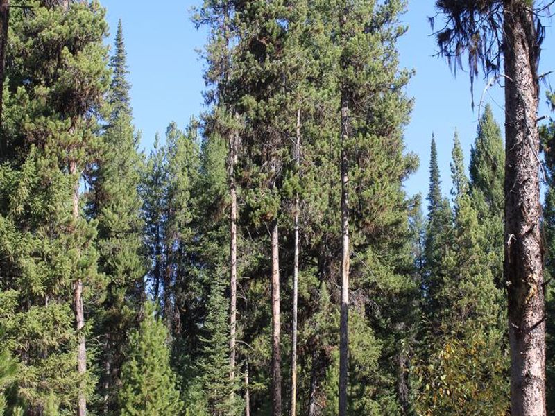
Barneys Campground occupies a scenic position on the northeast shore of Deadwood Reservoir at 5,300 feet in the Boise National Forest. The 8 campsites are nestled in a mixed-growth pine forest that provides ample shade and views of the reservoir. Summer wildflowers are abundant throughout the area. The remote location makes Deadwood Reservoir quiet and unpopulated compared to more accessible destinations. Fishing is exceptional for Chinook and Kokanee salmon as well as rainbow and cutthroat trout. Boating, water skiing, canoeing, and kayaking are popular activities, with a developed boat ramp available approximately 5.75 miles away at Cozy Cove Campground. The surrounding area offers numerous trails for hiking, mountain biking, horseback riding, and ATV use. This is a primitive campground with vault toilets, picnic tables, and seasonal drinking water but no electricity, showers, or hookups. Roads and parking spurs are dirt.
Directions
From Boise, travel north on Highway 55 to Banks (~38 miles), then east on Highway 17 to Lowman (~31 miles). Follow Highway 21 northeast approximately 40 miles, then turn west onto FS Road 579 at Banner Creek/Cape Horn Summit. Continue through Bear Valley, intersect FS Road 555, and turn left south toward the reservoir.
Amenities
| Water | Yes |
| Fires Allowed | — |
| Toilets | Yes |
| Dump Station | No |
| Wifi | No |
| Pets Allowed | — |
| Showers | No |
| Electric Hookups | — |
| Water Hookups | — |
| Sewer Hookups | — |
| Camp Store | No |
| Price | $12 |
Vehicle
| Max RV Length | 50ft |
| Max Trailer Length | 50ft |
| Big Rig Friendly | No |
| Pull Through Sites | No |
Contact
| Phone | +1 (208) 259-3361 |
Cell Service
| AT&T | None |
| Verizon | None |
| T-Mobile | None |
Availability
Photos
Community Posts
No posts yet. Be the first to share your experience!