Cowpuncher Guard Station
Currently closed due to a location closure. The facility typically operates from May 16 through November 30. Roads are usually closed by snow 5.5 miles from the cabin from late November through mid-April. Reservations require a minimum 2-night stay, and Friday and Saturday nights must be booked together. Maximum stay is 7 consecutive nights.
Flood Watch issued October 10 at 3:44PM MDT until October 12 at 6:00PM MDT by NWS Salt Lake City UT
* WHAT...Flash flooding caused by excessive rainfall continues to be possible. * WHERE...A portion of Utah, including the following areas, Castle Country, Central Mountains, Eastern Juab/Millard Counties, San Rafael Swell, Sanpete Valley, Sevier Valley, Wasatch Plateau/Book Cliffs, Bryce Canyon Country, Capitol Reef National Park and Vicinity, Glen Canyon Recreation Area/Lake Powell, South Central Utah, Southern Mountains, Upper Sevier River Valleys, Western Canyonlands, Lower Washington County, Southwest Utah and Zion National Park. This also includes recent burn scars such as Forsyth, Cottonwood, Silver King, France Canyon, and Monroe Canyon. * WHEN...Through Monday afternoon. * IMPACTS...Excessive runoff may result in flooding of rivers, creeks, streams, dry washes, slot canyons, and other low-lying and flood-prone locations such as slickrock areas and recent burn scars. Creeks and streams may rise out of their banks. Flooding may occur in poor drainage and urban areas. * ADDITIONAL DETAILS... - Anomalously high moisture is forecast to impact the region with the arrival of the remnants of Tropical Storm Rachel. While this is expected to be a long duration rainfall event, scattered instances of heavier rainfall rates are expected with stronger storms yielding flash flooding concerns given saturated soils and prior burn scars. - http://www.weather.gov/safety/flood
Wind Advisory issued October 10 at 9:47PM MDT until October 12 at 6:00AM MDT by NWS Salt Lake City UT
* WHAT...South winds 30 to 40 mph with gusts up to 65 mph expected. * WHERE...Central Mountains and Southern Mountains. * WHEN...From 6 AM Sunday to 6 AM MDT Monday. * IMPACTS...Gusty winds will blow around unsecured objects and a few power outages may result.
From Recreation.gov
A location closure has been issued, and the facility is closed at this time. Reservation-holders will receive an email with additional information. Please check back for location closure updates.
About
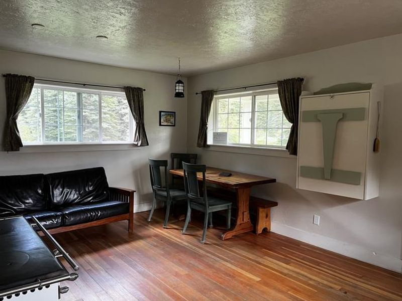
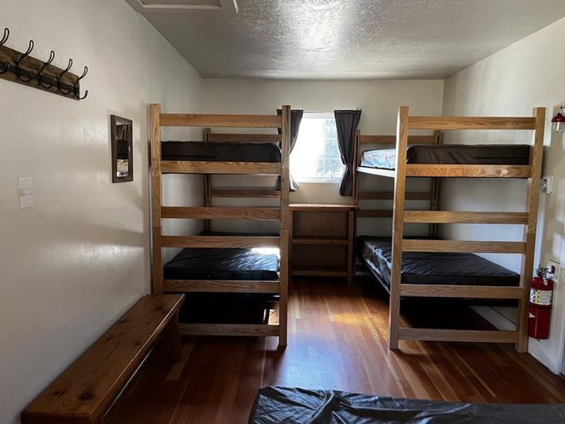
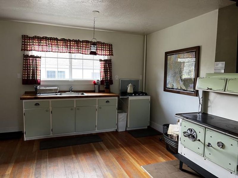
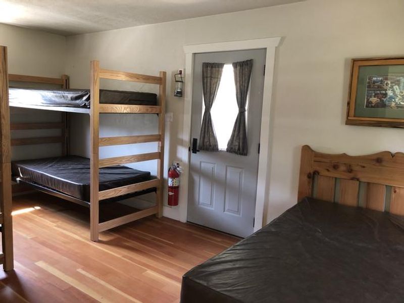
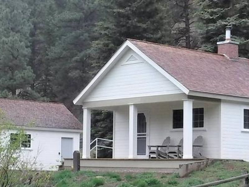
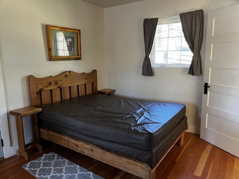
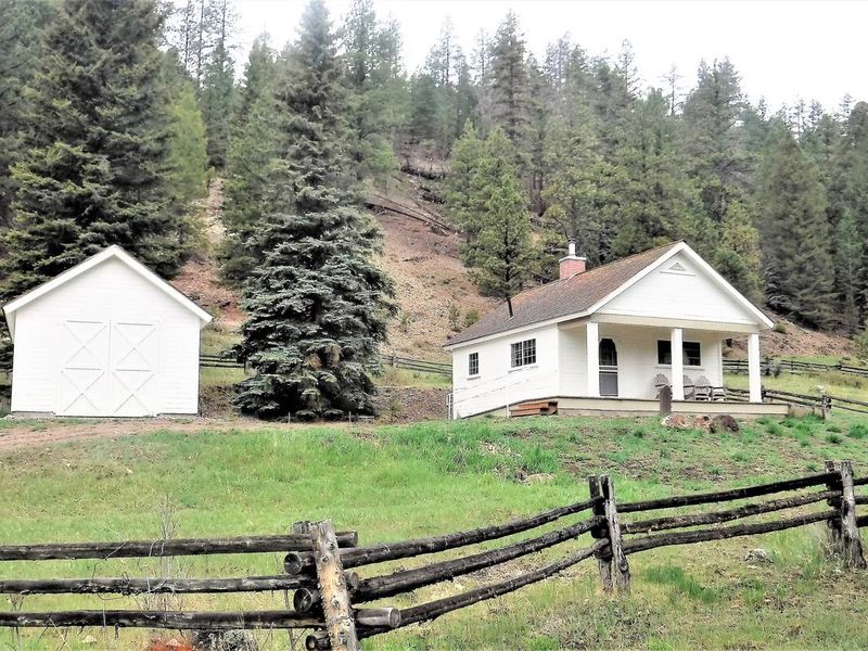
Cowpuncher Guard Station is a historic Forest Service cabin available for overnight rental in the Dixie National Forest of southern Utah. Located 20 miles northeast of Escalante at 8,000 feet elevation, the cabin sits in a secluded meadow surrounded by pine and aspen groves, adjacent to Pine Creek, a small trout stream. The setting offers a cool escape from the surrounding desert landscape. The cabin is comfortably furnished with bunk beds and one full-size bed, accommodating up to 7 guests. Interior amenities include a propane stovetop, wood cook stove for heating, kitchen sink with cold running water (available summer and early fall only), battery-operated lanterns, and cooking supplies including pots, pans, dishes, and utensils. A covered porch extends the living space with a picnic table, and a fire ring is located below the porch. Firewood is provided. A vault toilet is situated 150 feet from the cabin. The area offers abundant recreation including hiking, mountain biking, and horseback riding on the Great Western Trail and other nearby routes. Pine Creek provides trout fishing opportunities. The scenic Hells Backbone Road is minutes away, and Posey Lake is 7 miles distant. The Grand Staircase-Escalante National Monument, Anasazi State Park, and Escalante Petrified Forest State Park are all located nearby.
Directions
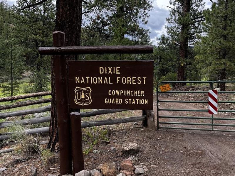
From Highway 12 in Escalante, turn north on 300E. Drive 14 miles to the junction of Forest Roads 154 and 153. Continue on FR153 for 4.5 miles. Turn left on FR145 towards Cowpuncher and Blue Spruce Campground. Travel 0.7 miles to Cowpuncher Gate. The cabin is 0.2 miles past the gate.
Nearby Campgrounds
Amenities
| Water | No |
| Fires Allowed | Yes |
| Toilets | Yes |
| Dump Station | No |
| Wifi | No |
| Pets Allowed | Yes |
| Showers | No |
| Electric Hookups | — |
| Water Hookups | — |
| Sewer Hookups | — |
| Camp Store | No |
| Price | $45 |
Vehicle
| Max RV Length | 30ft |
| Max Trailer Length | — |
| Big Rig Friendly | No |
| Pull Through Sites | No |
Contact
| ccalbaum@fs.fed.us | |
| Phone | +1 (435) 826-5499 |
Cell Service
| AT&T | Yes |
| Verizon | None |
| T-Mobile | None |
Availability
Photos
Community Posts
No posts yet. Be the first to share your experience!