Clear Lake
Closed for the season. Anticipated opening May 22, 2026 through September 30, 2026. Reservations available via Recreation.gov.
Alcohol Prohibitions
This Order describes acts that are prohibited upon lands, roads and trails within the National Forest System administered by the Forest Service Pacific Northwest Region in regards to alcoholic beverages.
Aquatic Invasive Species
This Order prohibits 1) possessing, storing, or transporting any aquatic invasive animal species AND 2) prohibits possessing, storing, or transporting any aquatic or riparian invasive plant species - on National Forest System lands in the Pacific Northwest Region as specified in the Order.
Restrictions on Use of Forage and Mulch Products
This Order prohibits unloading, storing, or using any straw, hay, grain, seed, or other forage or mulch products that are not state-certified weed free on the National Forest System lands, roads or trails in any Closure Area as specific in the Order. Some examples of these include hay bales, hay…
About
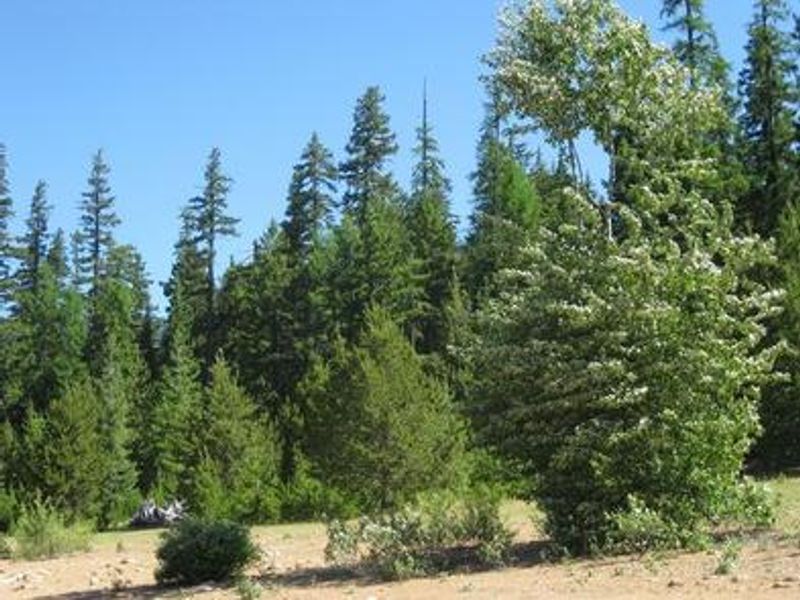
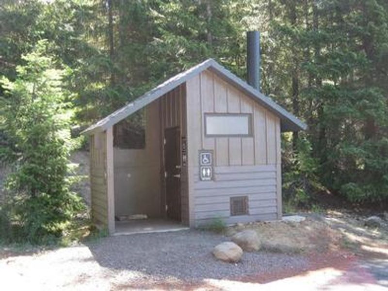
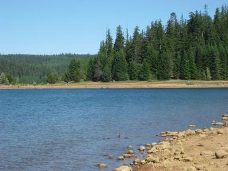
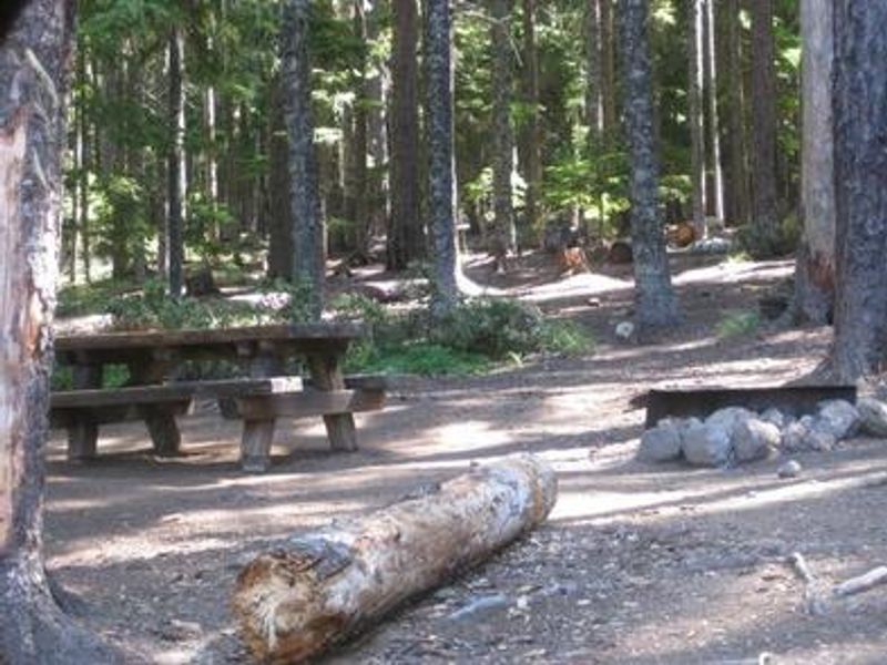
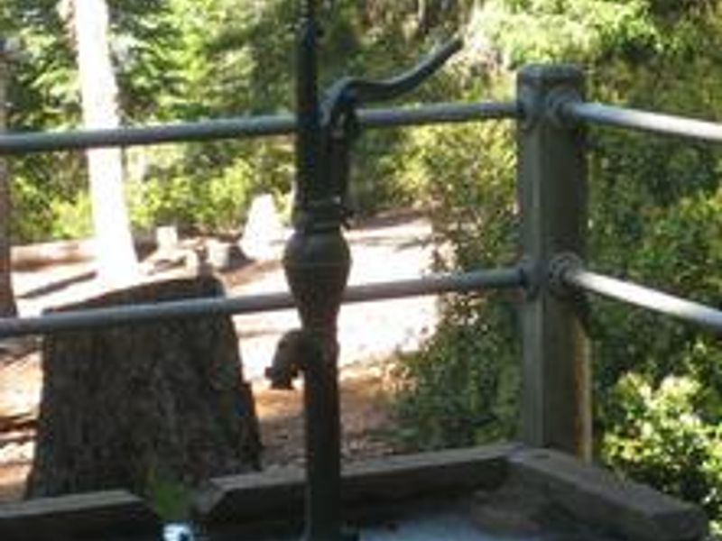
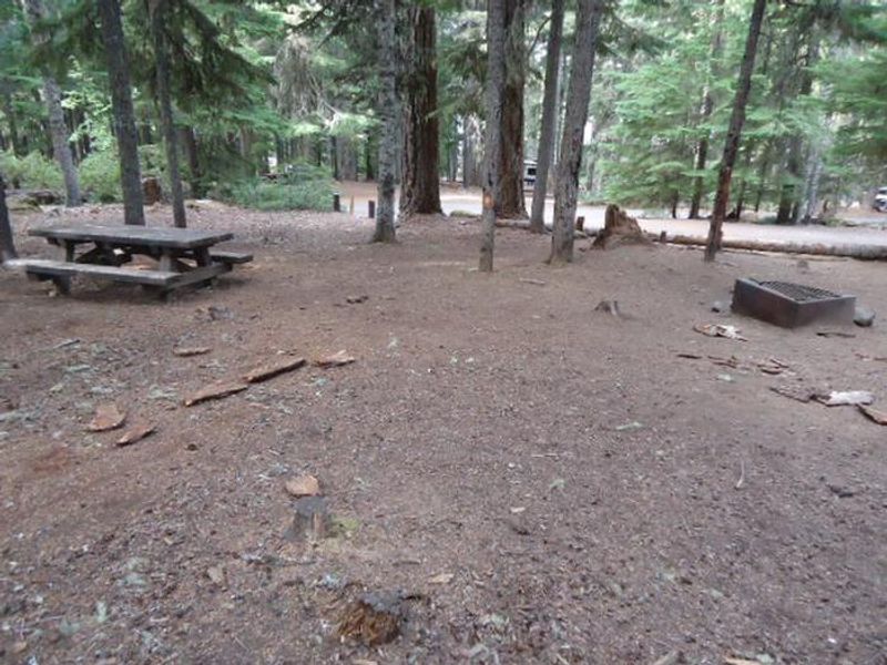
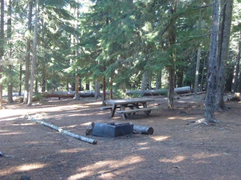
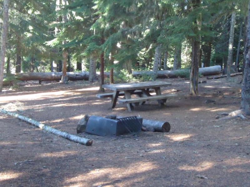
Clear Lake Campground is located in a mixed conifer forest on the eastern shore of Clear Lake, a 560-acre reservoir in Mt. Hood National Forest. Situated at 3,600 feet elevation just north of the Warm Springs Indian Reservation, the campground offers 28 sites in a shady setting with steady breezes that keep bugs at bay. Each campsite includes a picnic table and fire ring with grill. The campground provides vault toilets and potable drinking water from a hand pump. Firewood is available for purchase from the camp host. There are no hookups, showers, or dump station facilities. Vehicles are limited to 32 feet maximum length. Boating is popular on the lake with a 10 mph speed limit, and the steady winds make it suitable for sailing. Swimming and fishing for various trout species are available. A hiking trail near the north end of the lake connects to the Pacific Crest Trail. Note that Clear Lake is a reservoir managed for agricultural irrigation, and water levels typically decrease beginning in early July.
Directions
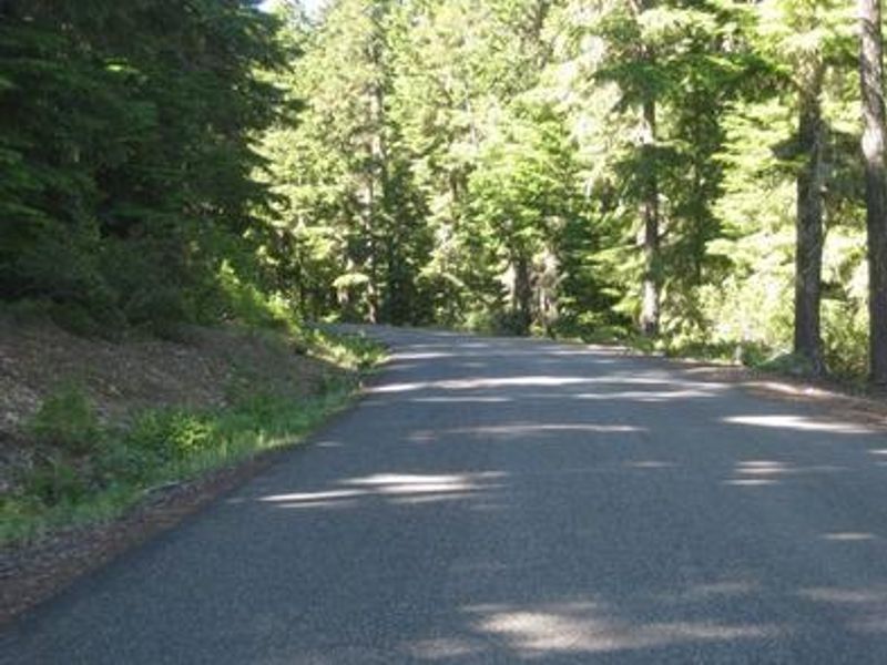
From Sandy, travel east on Highway 26 for about 35 miles. Turn onto Forest Road 2630 and continue for 1 mile to the campground.
Location
Amenities
| Water | Yes |
| Fires Allowed | Yes |
| Toilets | Yes |
| Dump Station | No |
| Wifi | — |
| Pets Allowed | — |
| Showers | No |
| Electric Hookups | — |
| Water Hookups | — |
| Sewer Hookups | — |
| Camp Store | — |
| Price | $26 |
Vehicle
| Max RV Length | 34ft |
| Max Trailer Length | 34ft |
| Big Rig Friendly | No |
| Pull Through Sites | No |
Contact
| Phone | +1 (541) 352-6002 |
Cell Service
| AT&T | Yes |
| Verizon | None |
| T-Mobile | None |
Availability
Photos


Community Posts
No posts yet. Be the first to share your experience!