Bridge Hollow Campground
Currently closed for the season. The campground typically opens around May 1 and operates seasonally through fall. First-come-first-served only with no advance reservations.
About
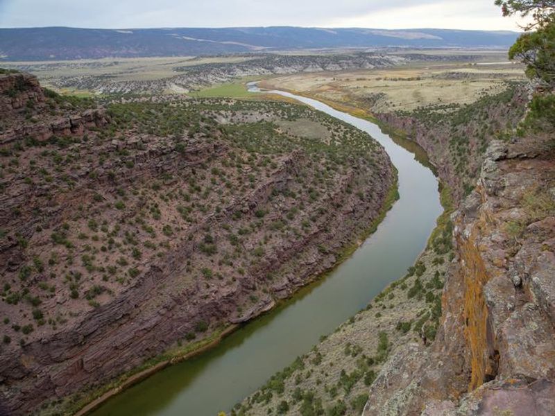
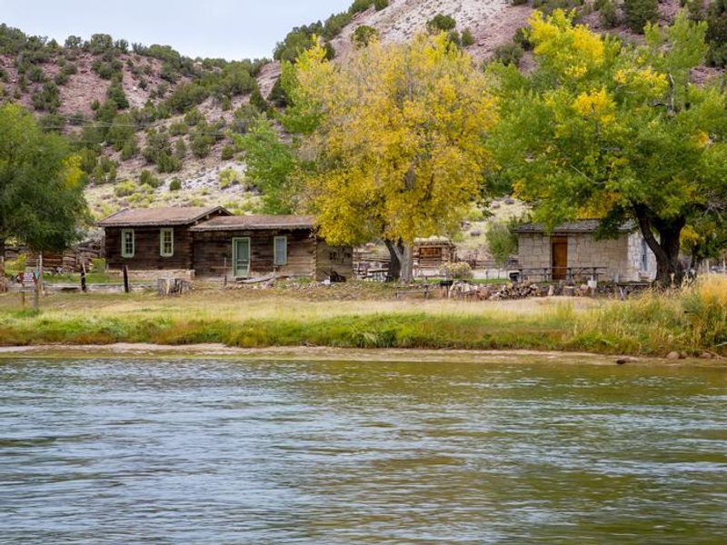
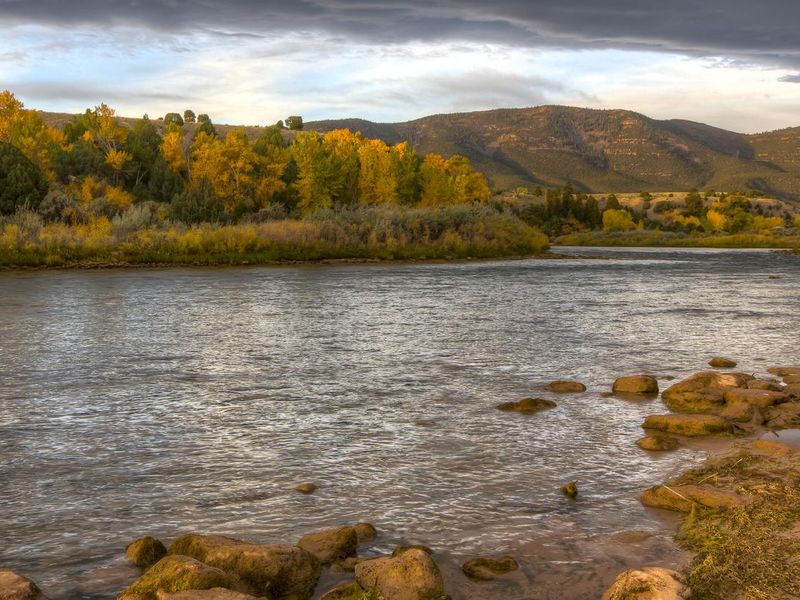
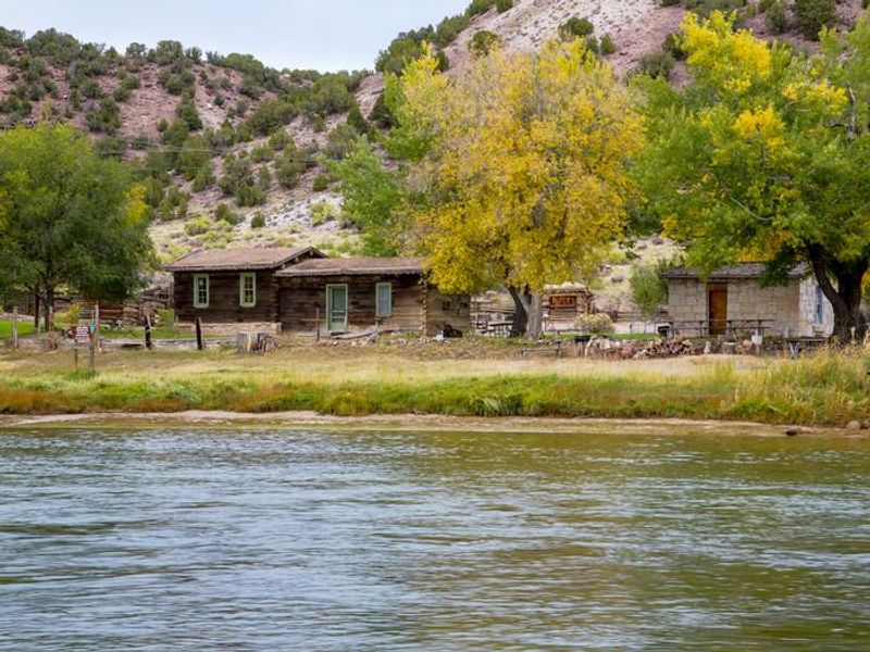
Bridge Hollow Campground is a BLM-managed facility nestled along the Green River in the high desert valley of Browns Park, one of Utah's most remote and scenic areas. The campground sits directly across from the John Jarvie Historic Ranch, a well-preserved 1880s homestead that offers interpreted tours of historic buildings and artifacts. The area draws anglers to the Green River's blue ribbon trout fishery, which stretches from Flaming Gorge Dam to the Colorado state line. The campground features 9 individual sites and 1 group site, all operating strictly on a first-come-first-served basis. Visitors must be physically present to claim and pay for a site, with same-day occupancy required. Payment options include the Recreation.gov Scan & Pay app or cash/check at the Iron Ranger station. Each site includes a picnic table and fire ring, with vault toilets and drinking water available in the campground. Access requires travel on gravel roads with one section featuring a steep 17% grade. The Green River's flow fluctuates daily between 830 and 4,500 cubic feet per second depending on dam releases. Life jackets are required for all river activities. Fishing is restricted to artificial bait only, with slot limits requiring release of fish between 13 and 20 inches.
Directions
From Vernal, UT via Clay Basin: North 55 miles on Highway 191 (just past Wyoming border), then east 22 miles on gravel/paved road including a steep 17% grade section. Follow Jarvie Ranch/Browns Park signs. Alternative route from Maybell, CO: East on Highway 318 for 70 miles paved plus 8 miles gravel. The Crouse Canyon route from Vernal is not recommended for RVs due to extremely narrow roads.
Amenities
| Water | Yes |
| Fires Allowed | Yes |
| Toilets | Yes |
| Dump Station | No |
| Wifi | No |
| Pets Allowed | Yes |
| Showers | No |
| Electric Hookups | — |
| Water Hookups | — |
| Sewer Hookups | — |
| Camp Store | No |
| Price | $35 |
Vehicle
| Max RV Length | — |
| Max Trailer Length | — |
| Big Rig Friendly | No |
| Pull Through Sites | No |
Contact
| blm_ut_vn_mail@blm.gov | |
| Phone | +1 (435) 781-4400 |
Cell Service
| AT&T | None |
| Verizon | None |
| T-Mobile | None |
Availability
Photos

Community Posts
No posts yet. Be the first to share your experience!