Gold Butte Lookout
Closed for the season. The lookout typically opens in early July and operates through mid-October, weather permitting. Reservations are required through Recreation.gov.
Alcohol Prohibitions
This Order describes acts that are prohibited upon lands, roads and trails within the National Forest System administered by the Forest Service Pacific Northwest Region in regards to alcoholic beverages.
Restrictions on Use of Forage and Mulch Products
This Order prohibits unloading, storing, or using any straw, hay, grain, seed, or other forage or mulch products that are not state-certified weed free on the National Forest System lands, roads or trails in any Closure Area as specific in the Order. Some examples of these include hay bales, hay…
Fireworks and Explosives are always Prohibited
Fireworks and explosives (including explosive targets) are always prohibited on national forest lands. The prohibition of fireworks and exploding targets on national forest system lands is part of a set of permanent fire safety regulations in the Code of Federal Regulations (CFR), listed below.…
About
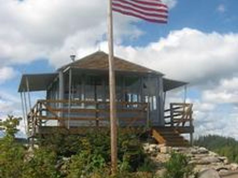
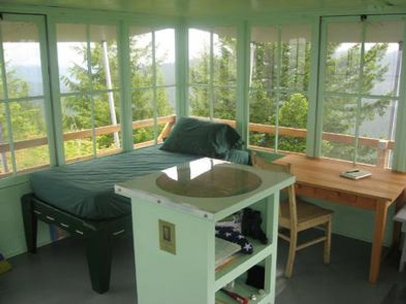
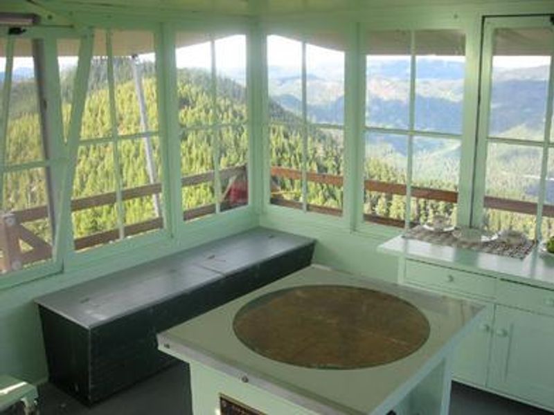
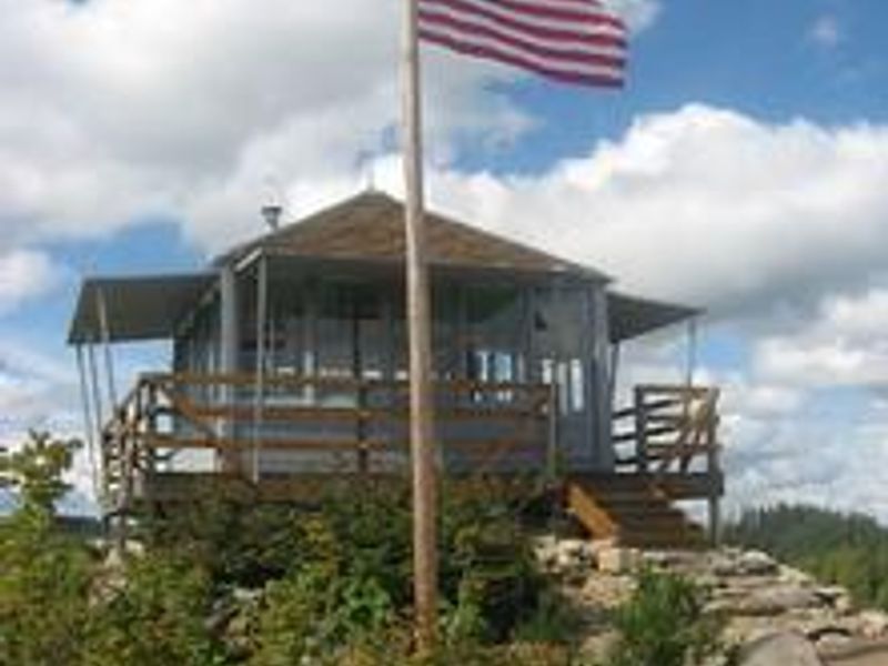
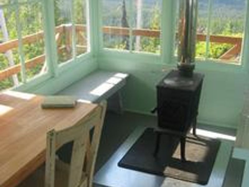
Gold Butte Lookout sits on the summit of Gold Butte at 4,618 feet elevation in Willamette National Forest, offering one of Oregon's most spectacular panoramic viewpoints. Built in 1934 by the Civilian Conservation Corps, this historic structure served as an Aircraft Warning System station during World War II, staffed around the clock by husband-and-wife teams reporting all passing aircraft to central command. The 14x14-foot wood cabin stands on 3-foot stilts and is surrounded by glass windows with an exterior catwalk providing unobstructed 360-degree views of the Cascade Range, including Mt. Jefferson, Three Fingered Jack, Mt. Hood, and the Three Sisters. The cabin is furnished with refurbished period furniture including one twin bed with mattress, three folding cots, table, bench, chair, cabinet, and fire-finder stand. A wood stove provides heat, and a propane cookstove is available (bring your own bottled propane). Guests must be prepared for a primitive experience: no water, electricity, or refrigeration. The final half-mile from the parking area requires hiking on steep, difficult terrain. A high-clearance vehicle is recommended for the rough gravel access road. Seasonal wildflowers and wild huckleberries grow nearby, and the adjacent Bull of the Woods, Opal Creek, and Mt. Jefferson Wilderness areas offer excellent day hiking opportunities.
Directions
From Detroit Ranger Station, drive east on Highway 22 toward Detroit. Directly after crossing the bridge, turn left onto Forest Service Road 46 (Breitenbush). Drive FSR 46 for about 4 miles to FSR 4696. Turn left (northeast) onto FSR 4696 and drive about three-quarters of a mile to FSR 4697. Turn left (north) onto FSR 4697 and drive about 5 miles to the saddle. Turn right onto FSR 451 and proceed to the first right (FSR 453). Proceed through the gate approximately half a mile to the parking area at the second green gate. The last 2 miles are rough gravel and dirt at 10% grade; low-clearance vehicles not recommended. The lookout is approximately half a mile from the parking area via a steep trail to the summit.
Amenities
| Water | No |
| Fires Allowed | — |
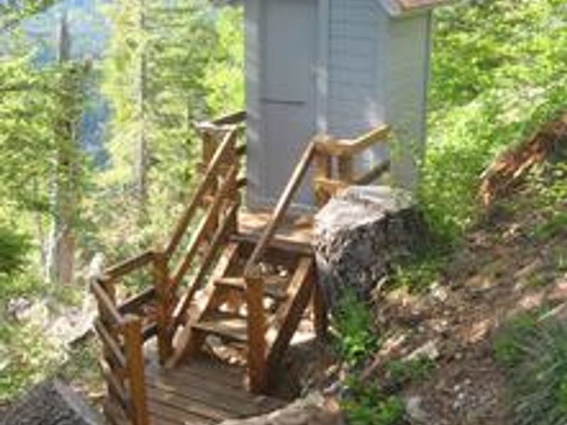
| Toilets | Yes |
| Dump Station | No |
| Wifi | No |
| Pets Allowed | Yes |
| Showers | No |
| Electric Hookups | — |
| Water Hookups | — |
| Sewer Hookups | — |
| Camp Store | No |
| Price | $80 |
Vehicle
| Max RV Length | — |
| Max Trailer Length | — |
| Big Rig Friendly | No |
| Pull Through Sites | No |
Contact
| Phone | +1 (503) 854-3366 |
Cell Service
| AT&T | None |
| Verizon | None |
| T-Mobile | None |
Availability
Photos
Community Posts
No posts yet. Be the first to share your experience!