WHITE PINES GROUP CAMPGROUND
Open year-round for tent camping. Potable water is currently unavailable; campers must bring their own water supply. Reservations required through Recreation.gov. Note: dispersed camping within 1000 feet of roads is prohibited on the Pisgah Ranger District until September 1, 2026, but this established campground remains open.
Flood Warning issued October 11 at 11:01AM EDT until October 11 at 6:00PM EDT by NWS Greenville-Spartanburg SC
* WHAT...Flooding caused by excessive runoff continues. * WHERE...Central Henderson County in western North Carolina... * WHEN...Until 600 PM EDT Sunday. * IMPACTS...Streams continue to rise due to excess runoff from earlier rainfall. * ADDITIONAL DETAILS... - At 1100 AM EDT, Mud and Bat Fork Creeks remained in flood and flooding will continue all afternoon. The Mud Creek river gage on North Main Street was nearing 16 feet which indicates flooding of portions of William H King Memorial Park and the Oklawaha Greenway. - Some locations that will experience flooding include... Hendersonville, Fletcher, Flat Rock, Mountain Home, Laurel Park, Valley Hill and East Flat Rock. - http://www.weather.gov/safety/flood
Flood Warning issued October 11 at 7:01AM EDT until October 12 at 8:00PM EDT by NWS Greenville-Spartanburg SC
...The Flood Warning is extended for the following rivers in North Carolina... French Broad River At at Grove Bridge Rd in Blantyre affecting Henderson and Transylvania Counties. .Excessive runoff from widespread 4 to 6 inches of storm total rainfall will maintain flooding along the French Broad River. * WHAT...Minor flooding is occurring and minor flooding is forecast. * WHERE...French Broad River at Grove Bridge Rd in Blantyre. * WHEN...Until Monday evening. * IMPACTS...At 16.0 feet, Minor Flood Stage. Farmland flooding continues on both sides of the French Broad River, especially between the river and Brevard and Pleasant Grove Roads. Floodwaters begin to impact boat access areas at Grove Bridge Rd. and Crab Creek Rd. * ADDITIONAL DETAILS... - At 6:30 AM EDT Sunday the stage was 16.0 feet and rising. - Bankfull stage is 15.0 feet. - Forecast...The river is expected to rise to a crest of 16.5 to 17.0 feet by this evening. It will then fall below flood stage tomorrow. - Flood stage is 16.0 feet. - http://www.weather.gov/safety/flood
Flood Advisory issued October 11 at 7:12AM EDT until October 12 at 8:00PM EDT by NWS Greenville-Spartanburg SC
...The Flood Advisory is extended for the following rivers in North Carolina... French Broad River Near at Old Fanning Bridge Rd, 3 W Fletcher affecting Henderson and Buncombe Counties. .Excessive runoff from a widespread 4 to 5 inch storm total rainfall will maintain flooding along the French Broad River. * WHAT...Flooding caused by excessive rainfall continues. * WHERE...French Broad River near at Old Fanning Bridge Rd, 3 W Fletcher. * WHEN...Until Monday evening. * IMPACTS...At 12.0 feet, Action Stage continues. Glenn Bridge Park river access is experiencing minor flooding. Westfeldt Park is experiencing scattered flooding. French Broad River floodwaters are causing isolated to widely scattered farmland flooding. * ADDITIONAL DETAILS... - At 6:45 AM EDT Sunday the stage was 11.2 feet and rising. - Bankfull stage is 10.0 feet. - Forecast...The river is expected to rise to a crest of around 12.0 feet just after midnight tonight. - Action stage is 10.0 feet. - Flood stage is 13.0 feet. - http://www.weather.gov/safety/flood
About
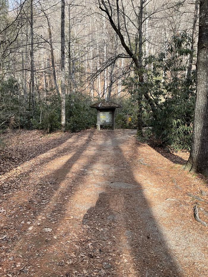
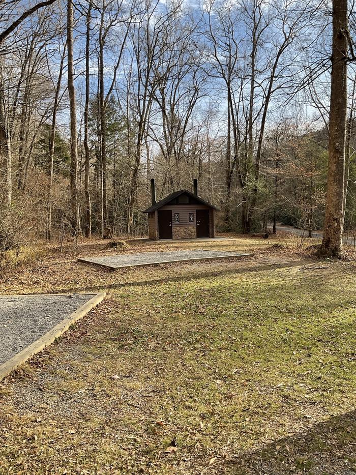
White Pines Group Campground is a primitive walk-in tent camping facility situated in the lush hardwood forests of the Pisgah Ranger District in Pisgah National Forest. The campground features one group site that can accommodate up to 25 people, with parking provided in a separate lot. All equipment must be walked into the campsite. The site is equipped with vault toilets, picnic tables, lantern posts, and campfire rings with grills. Drinking water is currently unavailable, so campers must bring an adequate supply. Visitors are responsible for packing out all trash. The campground sits at approximately 2,600 feet elevation adjacent to Avery Creek, with the Davidson River nearby offering excellent trout fishing opportunities. Reservations are handled through Recreation.gov and managed by Naventure. The area provides access to numerous recreation opportunities including day hiking, swimming, mountain biking, and fishing in one of North Carolina's most scenic mountain regions.
Directions
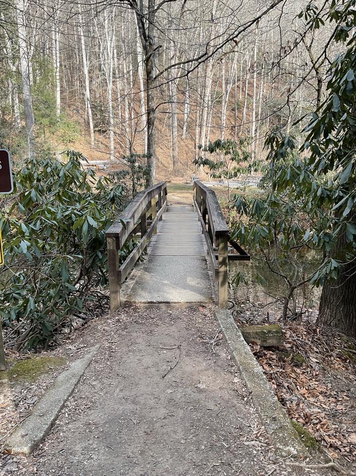
From Brevard, take US 276 east approximately 1.75 miles, then turn right onto Forest Road 477 and continue 0.75 miles. Parking is on the right; walk across the bridge to the campground entrance.
Nearby Campgrounds
Amenities
| Water | No |
| Fires Allowed | Yes |
| Toilets | Yes |
| Dump Station | No |
| Wifi | No |
| Pets Allowed | — |
| Showers | No |
| Electric Hookups | — |
| Water Hookups | — |
| Sewer Hookups | — |
| Camp Store | No |
| Price | $60 |
Vehicle
| Max RV Length | — |
| Max Trailer Length | — |
| Big Rig Friendly | No |
| Pull Through Sites | No |
Contact
| sm.fs.pisgahrd@usda.gov | |
| Phone | +1 (828) 577-4910 |
Cell Service
| AT&T | None |
| Verizon | None |
| T-Mobile | None |
Photos

Community Posts
No posts yet. Be the first to share your experience!