North Mills River
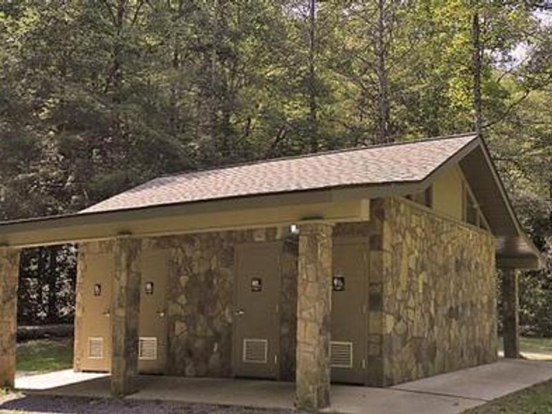
Open year-round. Full services available March 20 through November 15, including flush toilets, hot showers, and potable water. Winter operations (November 16 through March 20) offer limited services with pit toilets only and no water; sites 1-13 available first-come, first-served at $15/night. Reservations for the full season available through Recreation.gov.
Flood Warning issued October 11 at 11:01AM EDT until October 11 at 6:00PM EDT by NWS Greenville-Spartanburg SC
* WHAT...Flooding caused by excessive runoff continues. * WHERE...Central Henderson County in western North Carolina... * WHEN...Until 600 PM EDT Sunday. * IMPACTS...Streams continue to rise due to excess runoff from earlier rainfall. * ADDITIONAL DETAILS... - At 1100 AM EDT, Mud and Bat Fork Creeks remained in flood and flooding will continue all afternoon. The Mud Creek river gage on North Main Street was nearing 16 feet which indicates flooding of portions of William H King Memorial Park and the Oklawaha Greenway. - Some locations that will experience flooding include... Hendersonville, Fletcher, Flat Rock, Mountain Home, Laurel Park, Valley Hill and East Flat Rock. - http://www.weather.gov/safety/flood
Flood Warning issued October 11 at 10:40AM EDT until October 11 at 2:00PM EDT by NWS Greenville-Spartanburg SC
* WHAT...Flooding caused by excessive rainfall is expected. * WHERE...Southeastern Buncombe County in western North Carolina... Eastern Henderson County in western North Carolina... Southwestern McDowell County in western North Carolina... Northern Polk County in western North Carolina... West Central Rutherford County in western North Carolina... * WHEN...Until 200 PM EDT. * IMPACTS...Runoff from heavy rain continued to occur throughout the Rocky Broad and Green River basins, although rivers should return to within their banks this afternoon. Please heed any warnings of closed roads and watch for flooding of low-lying areas along rivers. * ADDITIONAL DETAILS... - At 1038 AM EDT, Flooding is ongoing in the warned area. - Some locations that will experience flooding include... Lake Lure, Saluda, Chimney Rock Village, Chimney Rock State Park, Bat Cave, Lake Adger, Edneyville, Dana, Gerton and East Flat Rock. - http://www.weather.gov/safety/flood
Flood Watch issued October 11 at 9:50AM EDT until October 11 at 2:00PM EDT by NWS Greenville-Spartanburg SC
* WHAT...Flash flooding caused by excessive rainfall continues to be possible. * WHERE...Portions of western North Carolina, including the following areas, Avery, Buncombe, Burke Mountains, Caldwell Mountains, Eastern McDowell, Eastern Polk, Greater Burke, Greater Caldwell, Greater Rutherford, Haywood, Henderson, McDowell Mountains, Mitchell, Polk Mountains, Rutherford Mountains, Transylvania and Yancey and Upstate South Carolina, including the following areas, Greenville Mountains, Northern Spartanburg and Southern Spartanburg. * WHEN...Until 2 PM EDT this afternoon. * IMPACTS...Excessive runoff may result in flooding of rivers, creeks, streams, and other low-lying and flood-prone locations. Creeks and streams may rise out of their banks. Low-water crossings may be flooded. * ADDITIONAL DETAILS... - Rainfall tapers off behind the front, but runoff from previous rainfall will keep high water levels in portions of the area. Ongoing flood advisories and warnings will keep the watch in place, even though rain has ended. - http://www.weather.gov/safety/flood
About
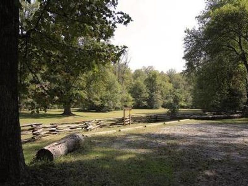
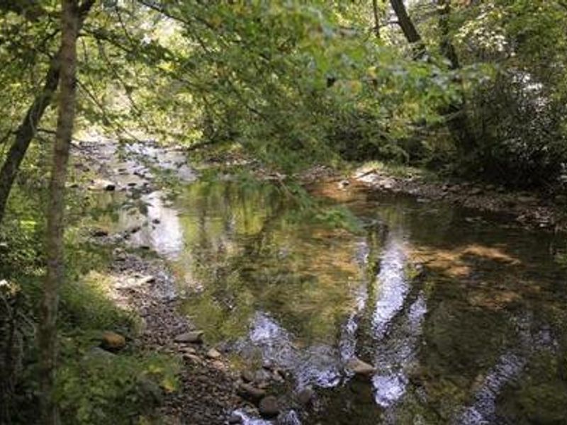
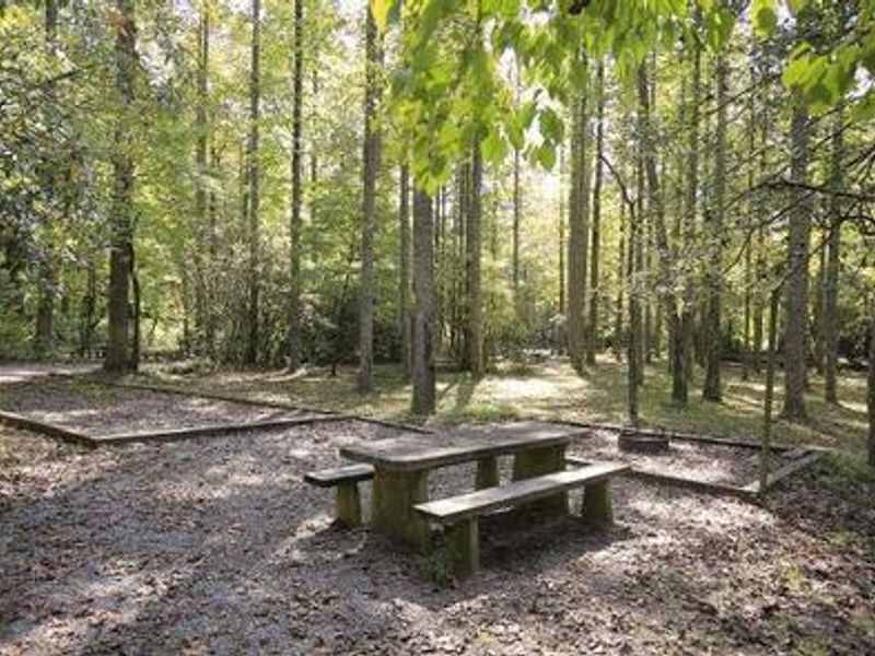
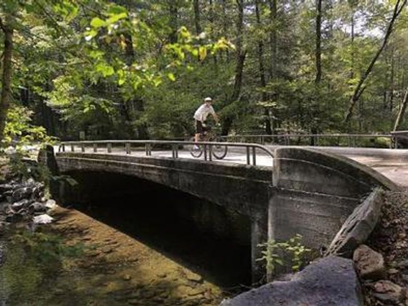
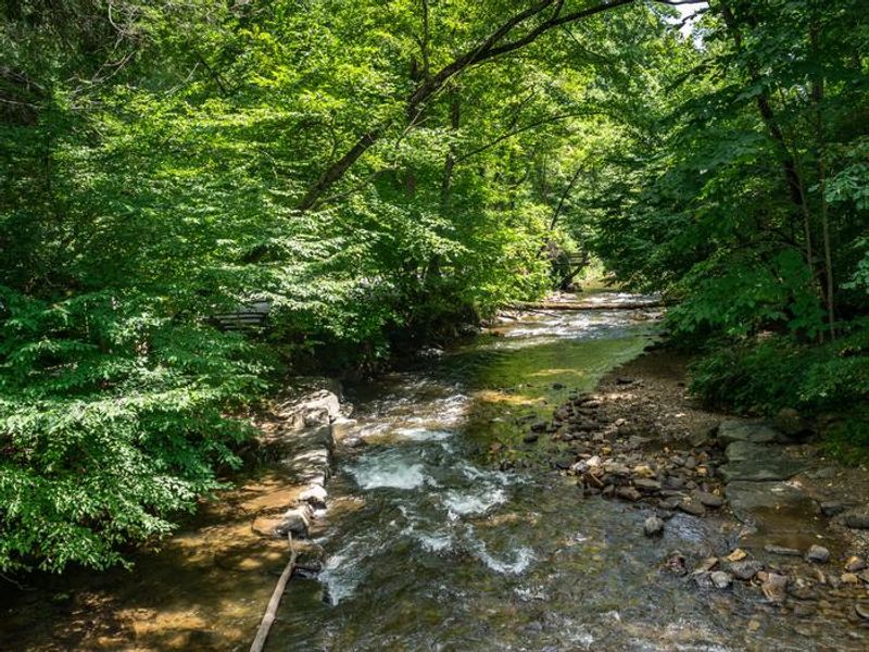
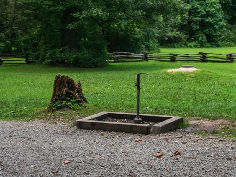
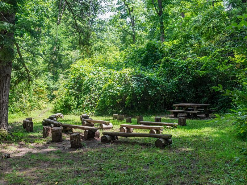
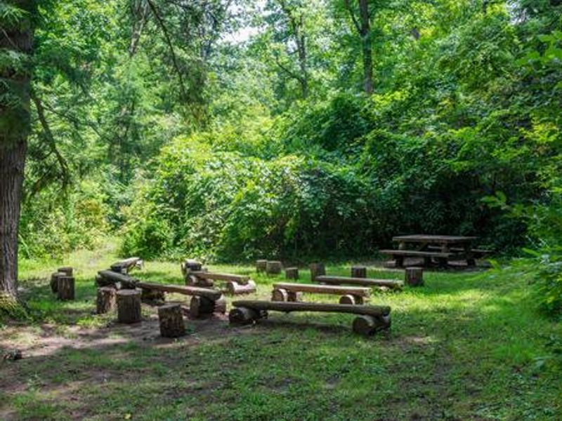
North Mills River Campground is a scenic mountain retreat in Pisgah National Forest, situated at 2,200 feet elevation along the shallow, clear waters of Mills River. Located just outside Asheville in western North Carolina, the campground provides easy access to the region's natural and cultural attractions, including Sliding Rock, Looking Glass Falls, and the Blue Ridge Parkway. The campground features 26 sites organized in two loops, offering standard nonelectric, tent-only, RV electric, and full-hookup options. During the full-service season (March 20 through November 15), campers enjoy flush toilets, hot showers, and potable water. Each site includes a picnic table, tent pad, lantern hook, and fire ring with grill. Firewood is available for purchase. Winter operations (November 16 through March 20) provide limited services with pit toilets only and no running water, with sites 1-13 available first-come, first-served. Mills River offers excellent trout fishing along with swimming and tubing opportunities. Multiple hiking and mountain biking trails are accessible from the campground area. The nearby town of Brevard provides amenities, while Asheville offers galleries, restaurants, and entertainment options.
Directions
From Asheville, take U.S. Highway 280 west to North Mills River Road. Follow North Mills River Road to the campground at 5119 N. Mills River Road, Mills River, NC 28742.
Nearby Campgrounds
Amenities
| Water | Yes |
| Fires Allowed | Yes |
| Toilets | Yes |
| Dump Station | — |
| Wifi | — |
| Pets Allowed | Yes |
| Showers | Yes |
| Electric Hookups | Yes |
| Water Hookups | Yes |
| Sewer Hookups | Yes |
| Camp Store | — |
| Price | $31 - $40 |
Vehicle
| Max RV Length | 35ft |
| Max Trailer Length | 35ft |
| Big Rig Friendly | — |
| Pull Through Sites | No |
Contact
| Phone | +1 (828) 577-4167 |
Cell Service
| AT&T | None |
| Verizon | None |
| T-Mobile | None |
Availability
Photos
Community Posts
No posts yet. Be the first to share your experience!