WASH CREEK ROADSIDE CAMPSITES
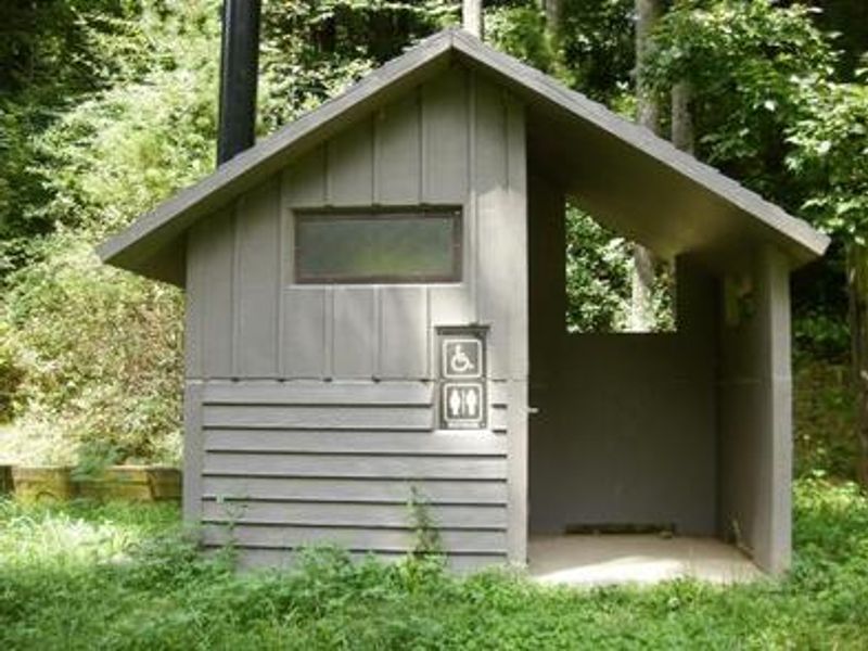
Open for camping. Pisgah Ranger District camping restrictions require all camping to occur only at designated sites through September 1, 2026. No potable water or toilet facilities available; campers must bring their own water and pack out all trash.
Flood Warning issued October 11 at 5:24AM EDT until October 11 at 11:15AM EDT by NWS Greenville-Spartanburg SC
* WHAT...Flooding caused by excessive rainfall is expected. * WHERE...Henderson County in western North Carolina... Eastern Transylvania County in western North Carolina... * WHEN...Until 1115 AM EDT. * IMPACTS...Flooding of rivers, creeks, streams, and other low-lying and flood-prone locations is imminent or occurring. * ADDITIONAL DETAILS... - At 517 AM EDT, Doppler radar indicated heavy rain has recently departed Transylvania and most of Henderson County. Flooding is ongoing or expected to begin shortly in the warned area. Between 3 and 6 inches of rain have fallen, but only light additional rain is expected. Most of the flooding is due to run off from previous rainfall. Mud Creek in Hendersonville is in Minor Flood, and still rising. Common, deeper flooding of low-lying areas adjacent to Mud Creek is developing with lesser impacts to vulnerable property. More significant floodwaters are beginning to impact low-lying areas, including areas of William H. King Memorial Park and the Oklawaha Greenway, with inundation approximately 2-4 ft deep. Secondary roads and outbuildings may be experiencing flooding up to 1-2 ft deep. - Additional areas of Minor Flooding are expected to develop over the next 1-3 hours. Please obey all barricades and heed all evacuation orders from local Emergency Management officials. Only a few inches of water can strand your vehicle and only 6 inches of water can sweep your vehicle away. - Some locations that will experience flooding include... Hendersonville, Brevard, Mills River, Fletcher, Flat Rock, Etowah, Mountain Home, Laurel Park, Rosman and Dupont State Forest. - http://www.weather.gov/safety/flood
Flash Flood Warning issued October 11 at 5:11AM EDT until October 11 at 11:00AM EDT by NWS Greenville-Spartanburg SC
FFWGSP The National Weather Service in Greenville-Spartanburg has issued a * Flash Flood Warning for... Southeastern Buncombe County in western North Carolina... Eastern Henderson County in western North Carolina... Polk County in western North Carolina... Northwestern Rutherford County in western North Carolina... Northeastern Greenville County in upstate South Carolina... Northwestern Spartanburg County in upstate South Carolina... * Until 1100 AM EDT. * At 511 AM EDT, Doppler radar indicated a line of torrential rainfall training from Glassy Mountain and Gowansville to Tryon, Columbus, Saluda, Bat Cave, Chimney Rock, and Lake Lure. This rainfall will be capable of producing 1-2 inches in less than an hour. This rainfall may cause additional rises on area streams, including the Broad River near Lake Lure and quickly exacerbate ongoing Minor flooding. Significant flooding, potentially impacting some structures, may develop quickly over the next 1-2 hours. Seek higher ground now! HAZARD...Life threatening flash flooding. Thunderstorms producing flash flooding. SOURCE...Radar indicated. IMPACT...Life-threatening flash flooding. Expect significant flooding of adjacent low-lying areas, including parks, trails, low-water crossings, boat-access areas, and campgrounds. Flooding of some crawl spaces and basements is possible with potential flooding of first-floors in residences and businesses near streams. Evacuations may be needed. An isolated landslide or two cannot be ruled out. * Some locations that may experience flash flooding include... Columbus, Landrum, Tryon, Lake Lure, Campobello, Saluda, Chimney Rock Village, Chimney Rock State Park, Bat Cave and Lake Bowen.
Flash Flood Warning issued October 11 at 4:11AM EDT until October 11 at 7:15AM EDT by NWS Greenville-Spartanburg SC
FFWGSP The National Weather Service in Greenville-Spartanburg has extended the * Flash Flood Warning for... Southeastern Buncombe County in western North Carolina... Northeastern Henderson County in western North Carolina... Northwestern Rutherford County in western North Carolina... * Until 715 AM EDT. * At 411 AM EDT, The Rocky Broad River near Bat Cave crested at 9.1 feet near midnight and has steadily fallen to 7.8 feet and will continue a gradual recession below the Minor Flood Stage of 7.5 feet over the next hour, with the localized shallow flooding observed along US 64 (Main St) near Dogwood RV park receding shortly thereafter. However, Lake Lure Dam continues to release water downstream along the Broad River, with nuisance to Minor impacts to low-lying areas near US 64. Lake Lure releases will likely end soon with conditions downstream improving. In the meantime, a final round of heavy rainfall is approaching the Chimney Rock/Lake Lure area. At this time, the heavy rainfall is not expected to exacerbate ongoing flooding. Therefore, once this heavy rain passes and floodwaters recede, the Flash Flood Warning will be cancelled. HAZARD...Flash flooding caused by thunderstorms. SOURCE...Radar indicated. IMPACT...Expect flash flooding of low-lying areas near streams, including parks, trails, low-water crossings, boat- access areas, and campgrounds. Significant flooding of poor-drainage areas are likely, impacting travel. Low-lying roadways are likely to be flooded, requiring barricades. An isolated landslide or two cannot be ruled out. * Some locations that may experience flash flooding include... Hendersonville, Brevard, Columbus, Mills River, Fletcher, Flat Rock, Etowah, Mountain Home, Laurel Park and Tryon.
About
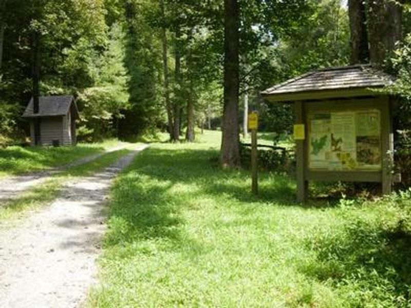
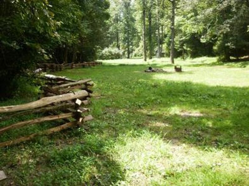
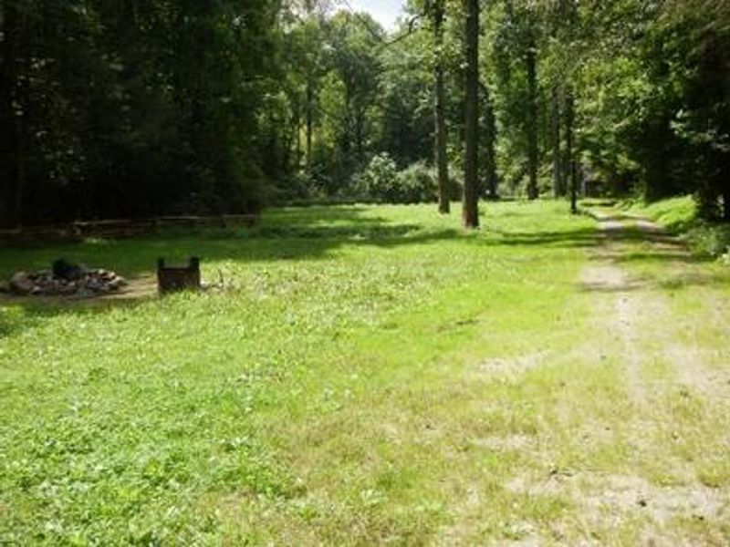
Wash Creek Roadside Campsites consist of designated primitive camping spots along Forest Service Road 5000 in the Pisgah Ranger District of Pisgah National Forest. Located approximately two miles from the North Mills River Recreation Area via a gravel forest road, these sites offer a more remote camping experience compared to the developed campgrounds in the area. The campsites are situated in a hardwood forest setting with a small, shallow stream nearby. Each site includes a parking area, tent pad, and fire ring. This is primitive camping with no amenities: no potable water, no toilets, and no trash service. Campers must bring adequate drinking water and pack out all waste. Firewood may be purchased at the nearby North Mills River Campground. The area provides access to a network of trails in the North Mills River, Trace Ridge, and Wash Creek areas, popular for hiking, fishing, and hunting. Some trails are shared with mountain bikers and equestrians. The site is approximately 20 minutes from North Mills River Recreation Area and about an hour from Asheville and Brevard.
Directions
From exit 40 on Interstate 26, travel west on Highway 280 (passing Asheville Airport toward Brevard). Go six miles to the traffic light and turn right on North Mills River Road. Drive six miles and just before entering North Mills River Campground, turn right on Forest Service Road 5000 (gravel). Proceed approximately two miles to the campsites along the road.
Nearby Campgrounds
Amenities
| Water | No |
| Fires Allowed | Yes |
| Toilets | No |
| Dump Station | No |
| Wifi | No |
| Pets Allowed | Yes |
| Showers | No |
| Electric Hookups | — |
| Water Hookups | — |
| Sewer Hookups | — |
| Camp Store | No |
| Price | $40 |
Vehicle
| Max RV Length | — |
| Max Trailer Length | — |
| Big Rig Friendly | No |
| Pull Through Sites | No |
Contact
| sm.fs.pisgahrd@usda.gov | |
| Phone | +1 (828) 877-3265 |
Cell Service
| AT&T | None |
| Verizon | None |
| T-Mobile | None |
Availability
Photos

Community Posts
No posts yet. Be the first to share your experience!