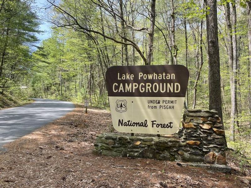
Lake Powhatan
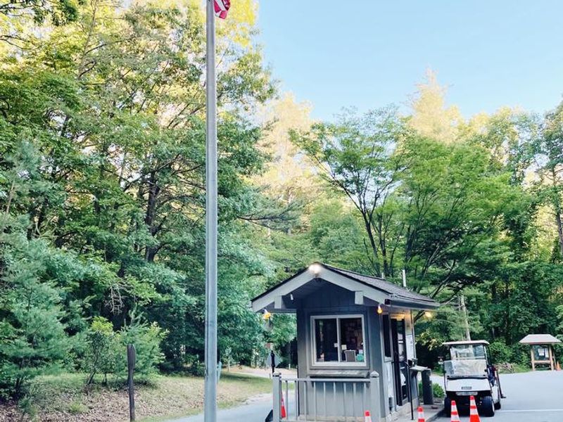
Open year-round with limited services from November through March. Gatehouse hours are 8am-8pm during the main season and 10am-5pm in the off-season. Reservations available via Recreation.gov.
High Wind Warning issued October 10 at 5:24PM EDT until October 11 at 8:00AM EDT by NWS Greenville-Spartanburg SC
* WHAT...For the High Wind Warning at elevations above 3500 feet, southeast winds 10 to 25 mph with gusts up to 60 mph. For the Wind Advisory in effect below 3500 feet, southeast winds 5 to 20 mph with gusts up to 50 mph. * WHERE...Most of the mountains of western North Carolina, from Graham and Macon counties northeast to Mitchell County. * WHEN...Until 8 AM EDT Sunday. * IMPACTS...Damaging winds will blow down trees and power lines especially in higher elevations. Widespread power outages are expected in higher elevations. Travel will be difficult, especially for high profile vehicles. Gusty winds will blow around unsecured objects, and may cause a few tree limbs to fall and cause isolated power outages in lower elevations.
Flood Watch issued October 10 at 4:02PM EDT until October 11 at 2:00PM EDT by NWS Greenville-Spartanburg SC
* WHAT...Flash flooding caused by excessive rainfall continues to be possible. * WHERE...In Northeast Georgia, the following counties: Elbert, Franklin, Habersham, Hart, Rabun and Stephens. In western North Carolina, the following counties: Avery, Buncombe, Burke, Caldwell, McDowell, Polk, Rutherford, Haywood, Henderson, Macon, Mitchell, Jackson, Transylvania and Yancey. In Upstate South Carolina, the following counties: Abbeville, Anderson, Central Greenville, Greater Oconee, Greater Pickens, Greenville, Greenwood, Laurens, Spartanburg, and Oconee. * WHEN...Through Sunday afternoon. * IMPACTS...Excessive runoff may result in flooding of rivers, creeks, streams, and other low-lying and flood-prone locations. Creeks and streams may rise out of their banks. Low-water crossings may be flooded. * ADDITIONAL DETAILS... - As Isaias weakens and moves northward into the lower Ohio Valley, periods of rain will continue. While rainfall rates may decrease in some areas this evening, short bursts of heavy rain are possible through tonight. By Sunday morning, total accumulations of generally 5 to 8 inches are expected along the southeast-facing Blue Ridge Escarpment, with 2 to 5 inches elsewhere in the watch area. - http://www.weather.gov/safety/flood
Wind Advisory issued October 10 at 5:24PM EDT until October 11 at 8:00AM EDT by NWS Greenville-Spartanburg SC
* WHAT...For the High Wind Warning at elevations above 3500 feet, southeast winds 10 to 25 mph with gusts up to 60 mph. For the Wind Advisory in effect below 3500 feet, southeast winds 5 to 20 mph with gusts up to 50 mph. * WHERE...Most of the mountains of western North Carolina, from Graham and Macon counties northeast to Mitchell County. * WHEN...Until 8 AM EDT Sunday. * IMPACTS...Damaging winds will blow down trees and power lines especially in higher elevations. Widespread power outages are expected in higher elevations. Travel will be difficult, especially for high profile vehicles. Gusty winds will blow around unsecured objects, and may cause a few tree limbs to fall and cause isolated power outages in lower elevations.
About
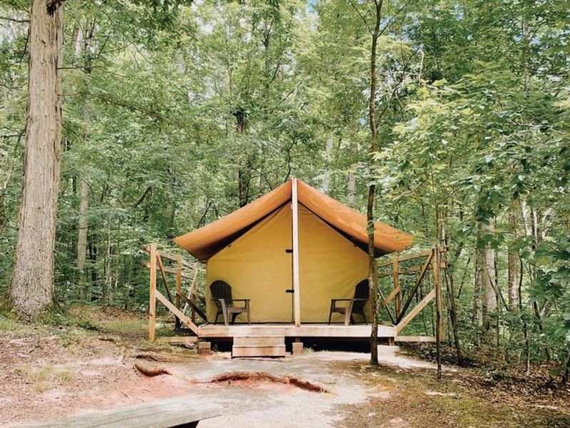
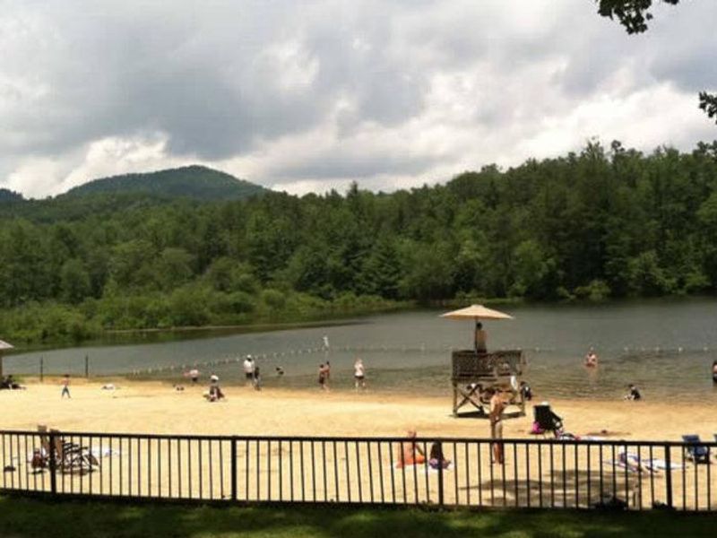
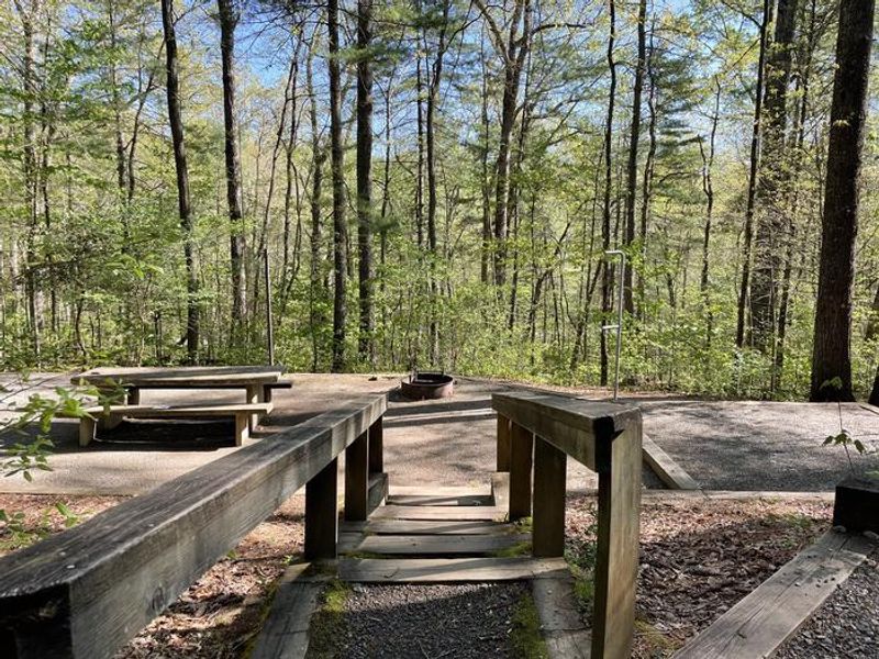
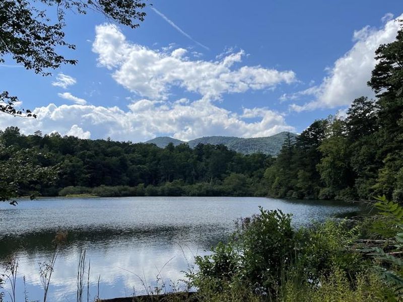
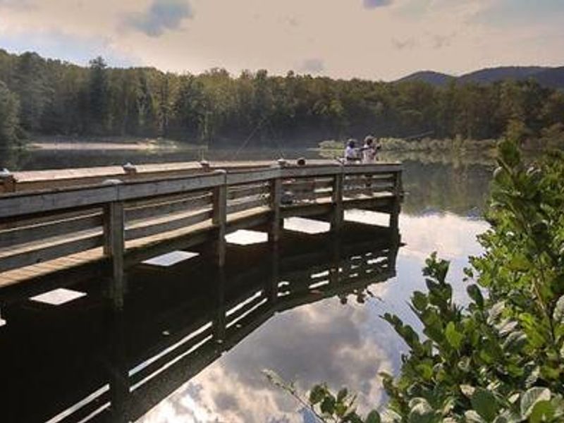
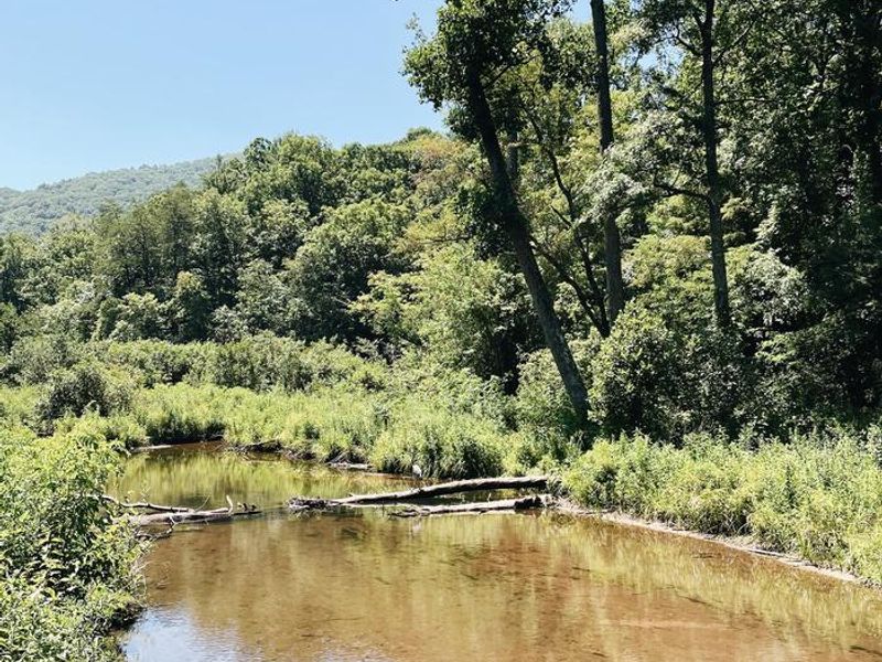
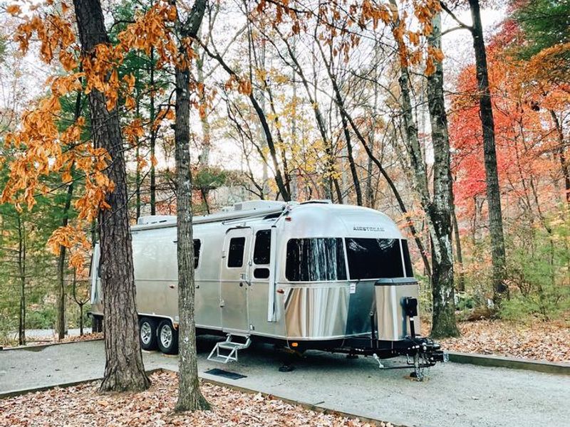
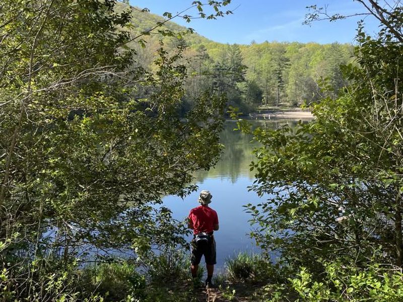
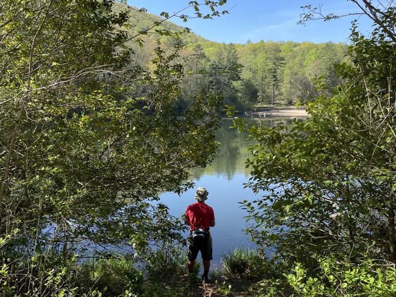
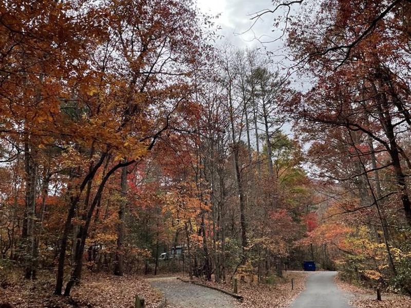
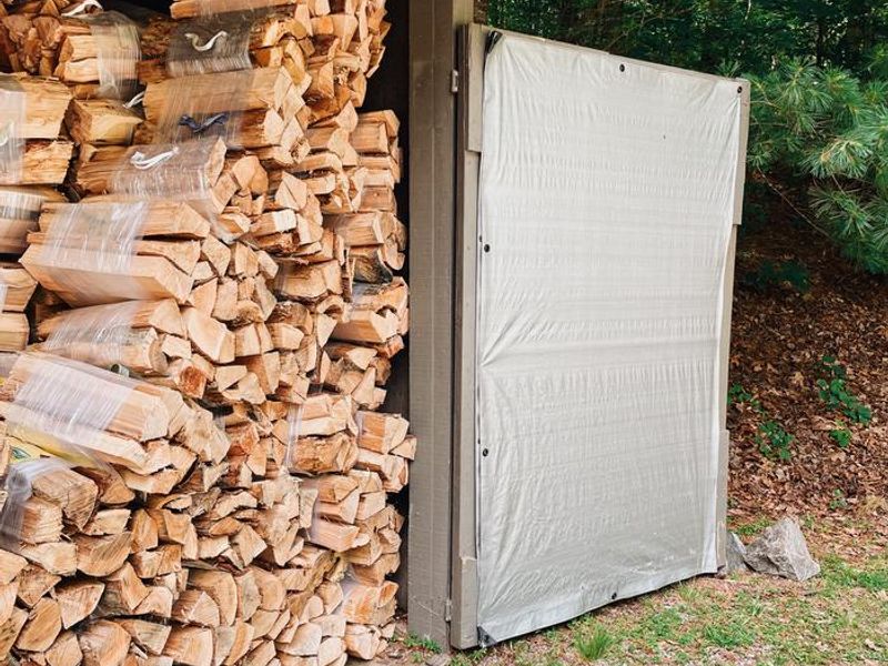
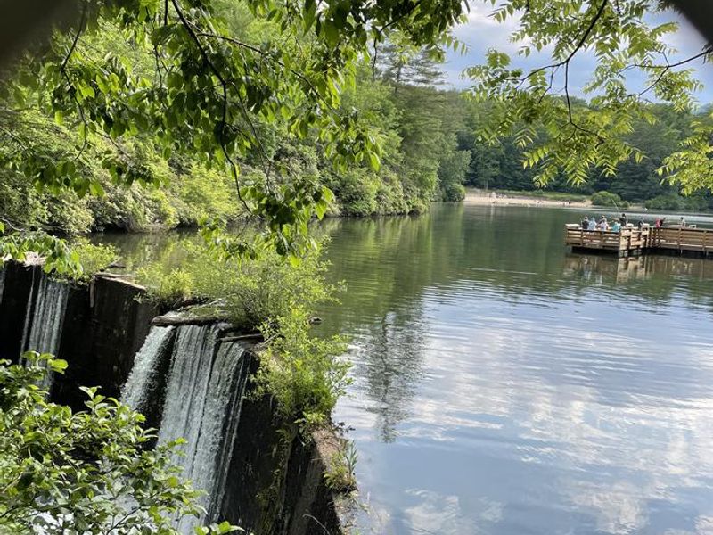
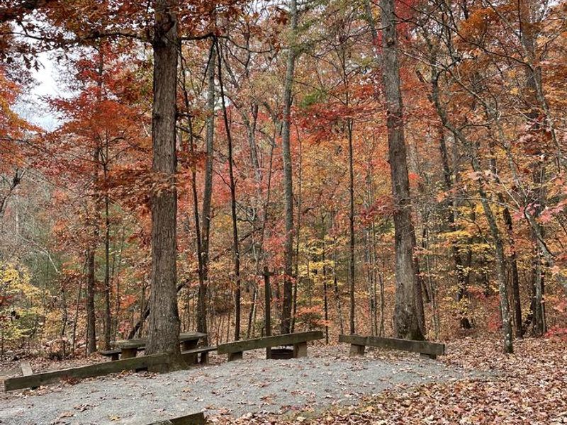
Lake Powhatan Campground sits at 2,200 feet elevation in a heavily wooded area of Pisgah National Forest, just 10 minutes from downtown Asheville. The campground features over 70 sites spread across multiple loops, including standard tent sites, electric hookup sites, full hookup sites with water and sewer, and 12 furnished glamping tents. Every site has a picnic table, fire ring with grill, tent pad, and lantern post. The centerpiece is Lake Powhatan itself, which offers a sandy swimming beach popular with families. Trout fishing is available in the calm lake waters, and the French Broad River is nearby. Personal watercraft are strictly prohibited on the lake. The surrounding forest provides excellent hiking and mountain biking trails accessible directly from the campground. The campground is located in black bear territory. Campers must keep all food, coolers, and scented items secured in a hard-sided vehicle or camper at all times. Pets are allowed on leash but prohibited on the beach. Firewood and ice are available for purchase at the gatehouse.
Directions
From Asheville, take I-26 to exit 33. Go south approximately 2 miles on State Route 191 to the Lake Powhatan Recreation Area sign. Turn right and follow signs to the campground.
Nearby Campgrounds
Amenities
| Water | Yes |
| Fires Allowed | Yes |
| Toilets | Yes |
| Dump Station | Yes |
| Wifi | — |
| Pets Allowed | Yes |
| Showers | Yes |
| Electric Hookups | Yes |
| Water Hookups | Yes |
| Sewer Hookups | Yes |
| Camp Store | No |
| Price | $35 - $70 |
Vehicle
| Max RV Length | 50ft |
| Max Trailer Length | 50ft |
| Big Rig Friendly | No |
| Pull Through Sites | No |
Contact
| Phone | +1 (828) 577-7278 |
Cell Service
| AT&T | None |
| Verizon | Yes |
| T-Mobile | None |
Availability
Photos





Community Posts
No posts yet. Be the first to share your experience!