Warm River
The campground opens May 15, 2026 for the season and operates through early September. During the operating season, reservations are available through Recreation.gov. Off-season access is weather-dependent, first-come first-served with no fees, water, or toilet service.
Flood Watch issued October 10 at 1:27PM MDT until October 12 at 6:00PM MDT by NWS Pocatello ID
* WHAT...Flooding caused by excessive rainfall is possible. Storm total rainfall amounts of 1-2 inches are possible across the area with localized amounts closer to 3 inches possible in spots. * WHERE...Portions of central, eastern, south central, and southeast Idaho, including the following areas, in central Idaho, Sun Valley Region and Wood River Foothills. In eastern Idaho, Beaverhead - Lemhi Highlands, Big Hole Mountains, Centennial Mountains - Island Park and Teton Valley. In south central Idaho, Eastern Magic Valley and Shoshone/Lava Beds. In southeast Idaho, Arco/Mud Lake Desert, Bear Lake Valley, Bear River Range, Blackfoot Mountains, Caribou Range, Franklin/Eastern Oneida Region, Lower Snake River Plain, Marsh and Arbon Highlands, Raft River Region, Southern Hills/Albion Mountains and Upper Snake River Plain. * WHEN...Through Monday afternoon. * IMPACTS...Excessive runoff may result in flooding of rivers, creeks, streams, and other low-lying and flood-prone locations. * ADDITIONAL DETAILS... - A prolonged period of rainfall is expected across eastern Idaho throughout the weekend which could lead to some flooding across parts of the advised area. An upper low moving into the Pacific Northwest will combine with tropical moisture from Tropical Cyclone Rachel to usher in a cooler, wetter weather pattern across eastern Idaho. - http://www.weather.gov/safety/flood
Weed Free Hay Order 04-2021-03
Prohibited by this order: Possessing, storing, or transporting non-pelletized hay, straw, or mulch in the Intermountain Region, unless it is certified as weed free by the state where the product originated.
Fireworks and Spark Arrestor Order 04-2021-01
Prohibited by this order: Possessing, discharging, or using any kind of firework or other pyrotechnic device. 36 CFR §261.52(t)Operating or using any internal or external combustion engine without a spark arresting device properly installed, maintained and in effective working order as described…
About
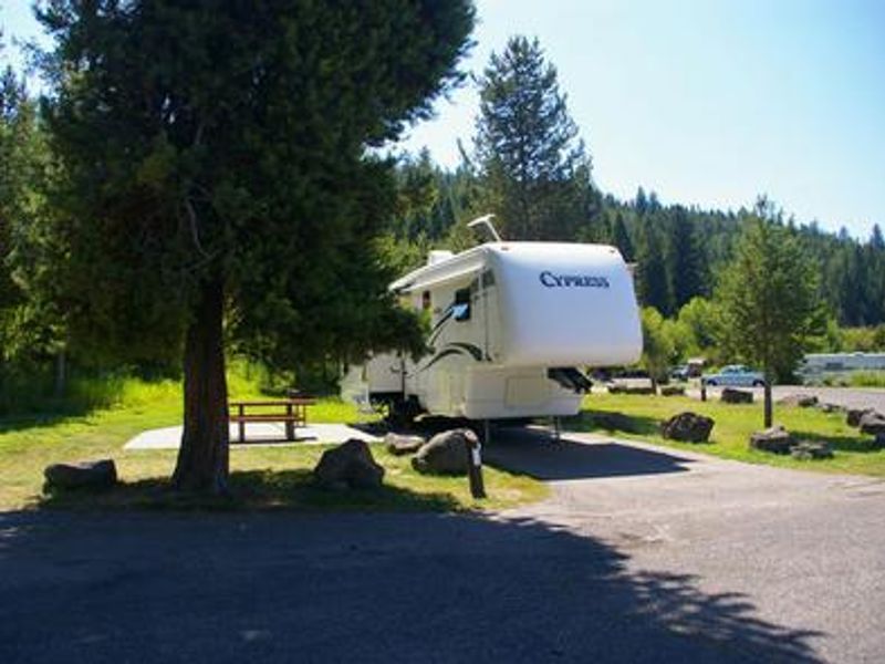
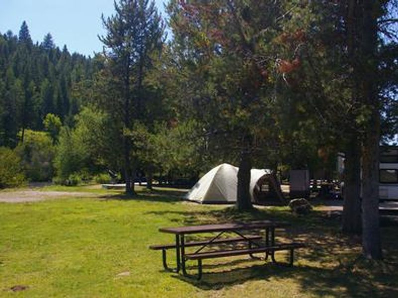
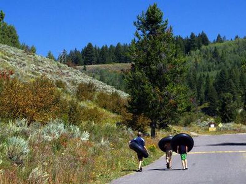
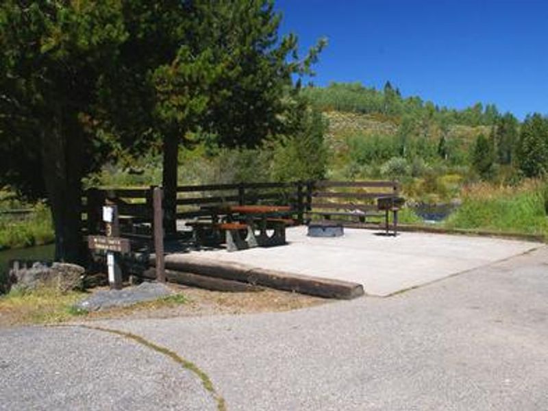
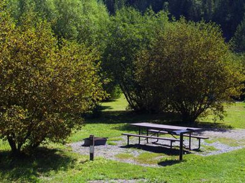
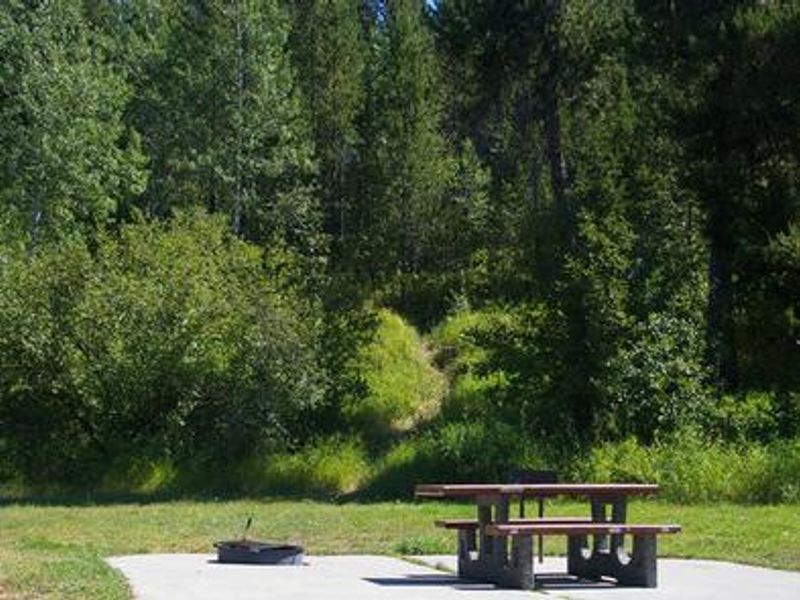
Warm River Campground is located on its namesake river in the Caribou-Targhee National Forest of southwestern Idaho. Situated at 5,200 feet elevation, the campground features thickets of willow lining the riverbanks and pine trees providing partial shade. The slow-moving Warm River makes this an ideal spot for tubing, and anglers frequently catch whitefish, brook, rainbow, and cutthroat trout. The campground has 23 individual sites including tent-only sites, standard nonelectric sites, and one electric site. A large group site accommodates up to 100 guests. Facilities include vault toilets, potable drinking water, picnic tables, and trash collection. Firewood is available for purchase from the camp host. Numerous hiking, mountain biking, and horseback riding trails are in the immediate area, leading to natural springs, waterfalls, and old railroad lines and tunnels. Island Park is nearby with abundant outdoor recreation, and Yellowstone and Grand Teton National Parks are within a couple hours' drive. Ashton, Idaho, about 9 miles away, offers gas and grocery services.
Directions
From Ashton, Idaho, travel northeast on Highway 47 to Warm River. Turn right onto Fish Creek Road and continue 1/4-mile to the campground entrance.
Amenities
| Water | Yes |
| Fires Allowed | Yes |
| Toilets | Yes |
| Dump Station | — |
| Wifi | No |
| Pets Allowed | — |
| Showers | No |
| Electric Hookups | Yes |
| Water Hookups | Yes |
| Sewer Hookups | No |
| Camp Store | No |
| Price | $31 - $100 |
Vehicle
| Max RV Length | 45ft |
| Max Trailer Length | 45ft |
| Big Rig Friendly | — |
| Pull Through Sites | No |
Contact
| Phone | +1 (208) 558-7658 |
Cell Service
| AT&T | Yes |
| Verizon | None |
| T-Mobile | None |
Availability
Photos
Community Posts
No posts yet. Be the first to share your experience!