Virgin River Canyon Recreation Area
Open year-round. 25 sites are reservable through Recreation.gov; the remaining 83 sites are first-come, first-served payable via the Recreation.gov Scan and Pay app. 14-night consecutive stay limit enforced.
Flood Watch issued October 9 at 12:25PM PDT until October 12 at 5:00AM PDT by NWS Las Vegas NV
* WHAT...Flash flooding caused by excessive rainfall is possible. * WHERE...Portions of northwest Arizona, including the following areas, Hualapai Mountains, Lake Havasu and Fort Mohave, Lake Mead - AZ side, Lake Mohave - AZ side, Northwest Deserts and Northwest Plateau, southeast California, including the following areas, Cadiz Basin, Eastern Mojave Desert, Morongo Basin and San Bernardino County-Upper Colorado River Valley, and Nevada, including the following areas, Lake Mead - NV side, Lake Mohave - NV side, Las Vegas Valley, Lincoln County, Northeast Clark County, Sheep Range, Southern Clark County, Spring Mountains-Red Rock Canyon and Western Clark and Southern Nye County. * WHEN...From Saturday morning through late Sunday night. * IMPACTS...Excessive runoff may result in flooding of rivers, creeks, streams, and other low-lying and flood-prone locations. Flooding may occur in poor drainage and urban areas. Low-water crossings may be flooded. * ADDITIONAL DETAILS... - Incoming tropical moisture will lead to widespread shower and thunderstorm activity, some of which may cause flash flooding. - http://www.weather.gov/safety/flood
Wind Advisory issued October 9 at 12:35PM PDT until October 12 at 5:00AM PDT by NWS Las Vegas NV
* WHAT...South winds 20 to 30 mph with gusts between 45 and 55 mph expected. * WHERE...Portions of northwest Arizona, southeast California, and southern Nevada. * WHEN...From 5 AM PDT /5 AM MST/ Sunday to 5 AM PDT /5 AM MST/ Monday. * IMPACTS...Gusty winds will blow around unsecured objects. Tree limbs could be blown down and a few power outages may result. * ADDITIONAL DETAILS...There will likely be a lull in the winds from late Saturday night through Sunday morning before winds increase once again Sunday afternoon.
About
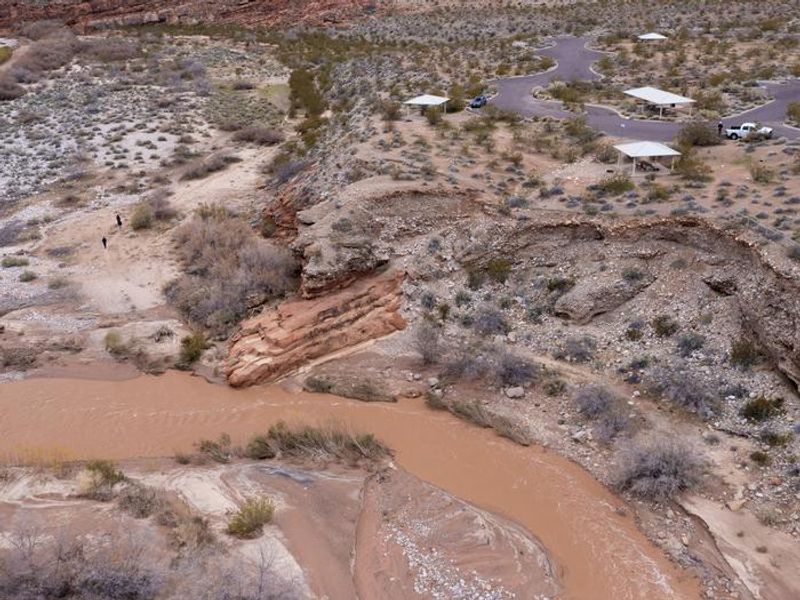
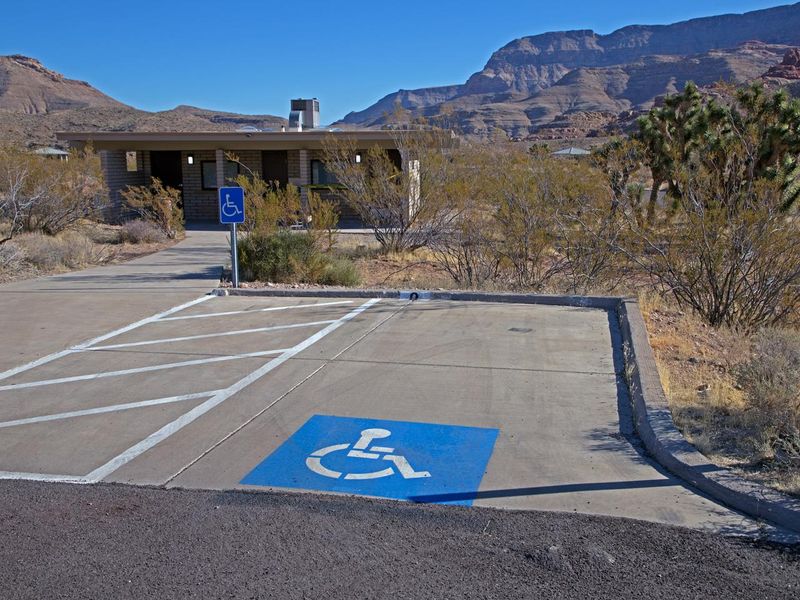
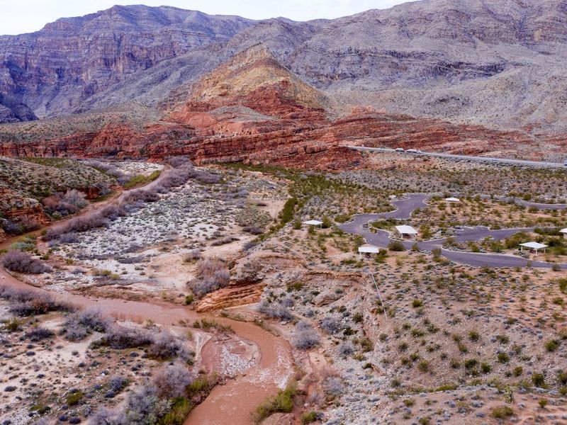
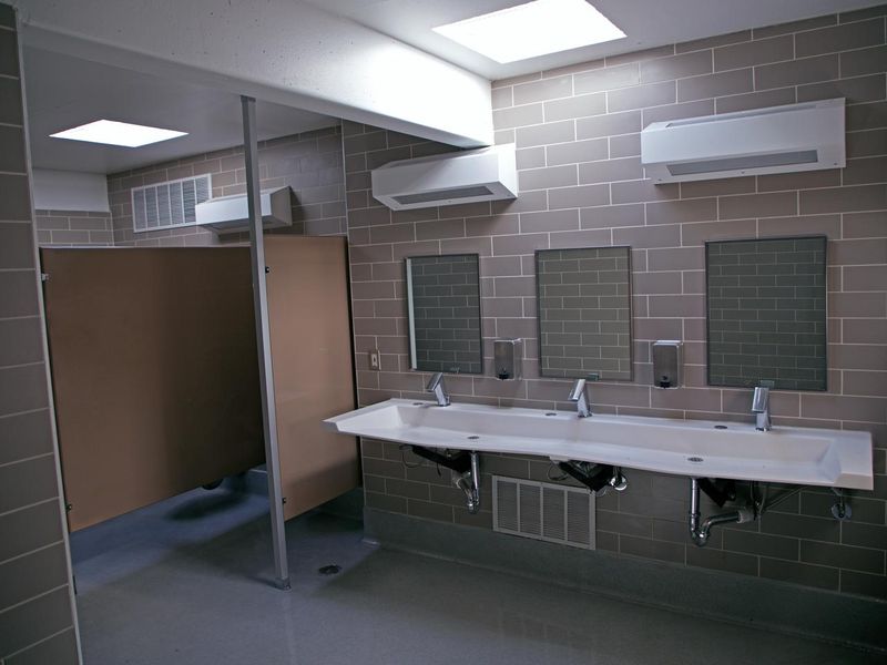
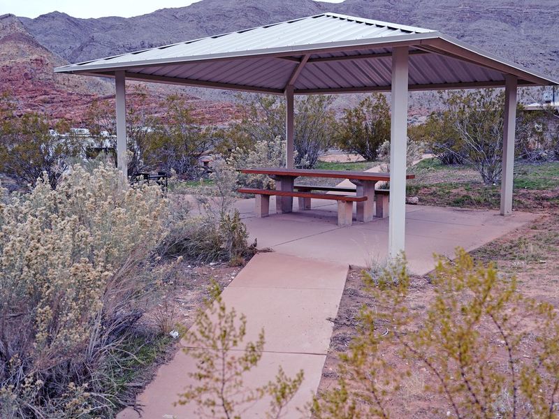
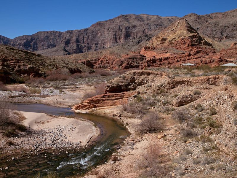
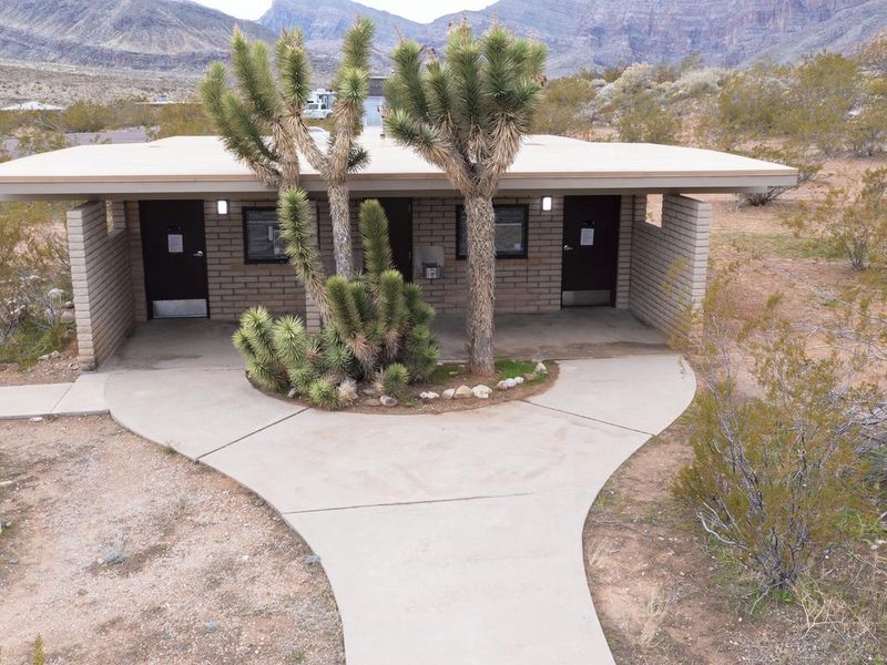
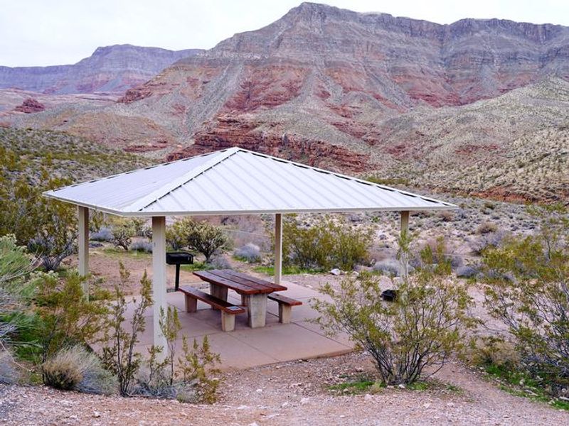
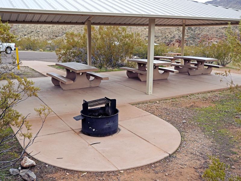
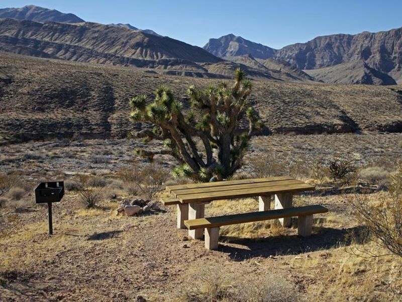
Virgin River Canyon Recreation Area sits in a dramatic desert gorge carved by the Virgin River, showcasing geological formations similar to the Grand Canyon on a smaller scale. The campground occupies a transitional zone between the Colorado Plateau and Mojave Desert, supporting some of the northernmost Joshua Tree populations. The Virgin River corridor is home to several endangered fish species and provides critical habitat for the Southwestern Willow Flycatcher. The developed campground features 108 sites with paved roads, pull-through parking, drinking water, and flush toilets. Each site includes a picnic table and grill or fire pit, with 12 sites offering shade shelters. Eight ADA-accessible sites are distributed between the Upper and Lower loops. The campground has no electrical hookups or dump station, making it suitable for self-contained RVs or tent camping. Recreational opportunities include the Sullivan Canyon Trail leading into the Paiute Wilderness, a scenic paved trail to a Joshua Tree grove viewpoint, and river access trails. The Virgin River Gorge is popular with rock climbers and canyoneers. Across the interstate, Cedar Pocket Road leads to additional hiking through a limestone slot canyon.
Directions
Located along Interstate 15 approximately 20 miles southwest of St. George, Utah and 20 miles northeast of Mesquite, Nevada. Take the Cedar Pocket Exit at Mile Post 18.
Amenities
| Water | Yes |
| Fires Allowed | Yes |
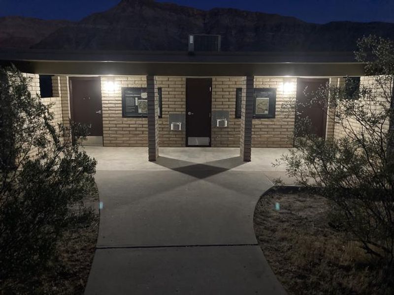
| Toilets | Yes |
| Dump Station | No |
| Wifi | No |
| Pets Allowed | Yes |
| Showers | No |
| Electric Hookups | — |
| Water Hookups | — |
| Sewer Hookups | — |
| Camp Store | No |
| Price | $8 |
Vehicle
| Max RV Length | 130ft |
| Max Trailer Length | — |
| Big Rig Friendly | Yes |
| Pull Through Sites | No |
Contact
| BLM_AZ_ASDOWEB@blm.gov | |
| Phone | +1 (435) 688-3200 |
Cell Service
| AT&T | None |
| Verizon | Yes |
| T-Mobile | Yes |
Availability
Photos

Community Posts
No posts yet. Be the first to share your experience!