Tullahasse Loop
Open year-round. All 15 sites are reservation-only via Recreation.gov. Day-use hours are 7:00 AM to 10:00 PM. Check-in is 5:00 PM, check-out is 3:00 PM.
About
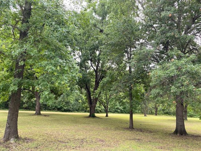
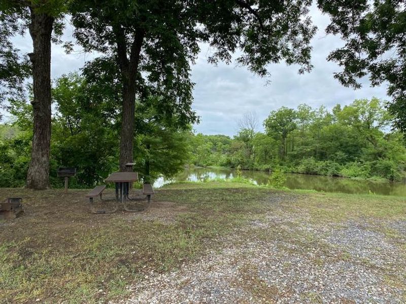
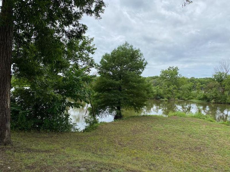
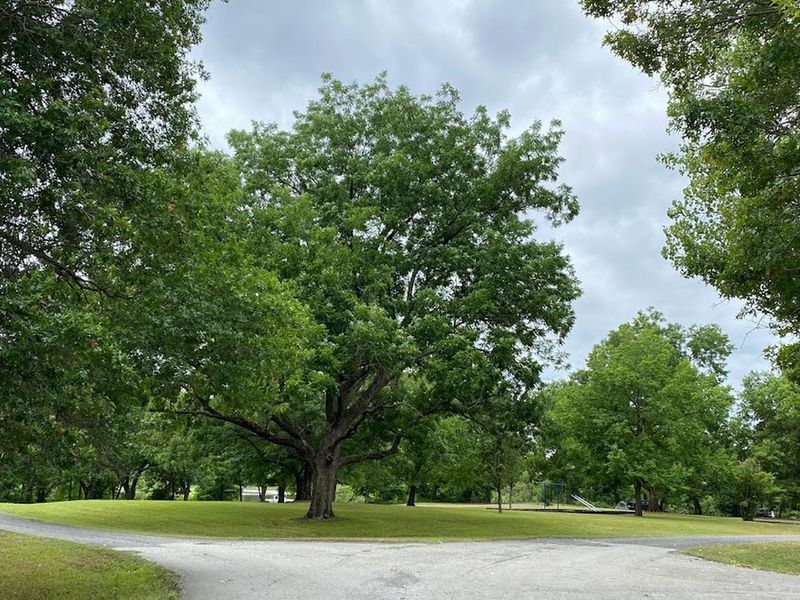
Tullahasse Loop sits on a scenic oxbow of the Arkansas River, upstream of Chouteau Lock and Dam 17, about 9 miles southwest of Wagoner, Oklahoma. The campground is operated by the U.S. Army Corps of Engineers and features 15 primitive (non-electric) campsites surrounded by mixed hardwood forest. Most sites are well-shaded, making this a comfortable option even in warmer months. The location excels for water-based recreation. A boat ramp and courtesy dock provide direct access to the backwaters, which are popular with fishermen targeting bass and catfish, as well as kayakers exploring the quieter channels off the main navigation system. The oxbow setting offers calmer water than the main river channel. Amenities are basic but functional: vault toilet, potable water, and a playground. There is no dump station on-site; the nearest is at Afton Landing, about 6 miles west. All sites are reservation-only through Recreation.gov.
Directions
From Wagoner, OK, head southwest on OK-51 for approximately 9 miles. The campground is located upstream of Chouteau Lock and Dam 17 on the McClellan-Kerr Navigation System.
Amenities
| Water | Yes |
| Fires Allowed | — |
| Toilets | Yes |
| Dump Station | No |
| Wifi | No |
| Pets Allowed | — |
| Showers | No |
| Electric Hookups | — |
| Water Hookups | — |
| Sewer Hookups | — |
| Camp Store | No |
| Price | $14 |
Vehicle
| Max RV Length | — |
| Max Trailer Length | — |
| Big Rig Friendly | — |
| Pull Through Sites | No |
Contact
| Phone | +1 (918) 682-4314 |
Cell Service
| AT&T | Yes |
| Verizon | Yes |
| T-Mobile | Yes |
Useful Links
| View on Recreation.gov | |
| Chouteau Lock and Dam Gateway |
Availability
Photos
Community Posts
No posts yet. Be the first to share your experience!