Open
Open year-round with reservations required through Recreation.gov. The West loop is closed from November 1 through March 31. Day use hours are 6:00 AM to 10:00 PM. Check-in at 5:00 PM, checkout at 3:00 PM.
About
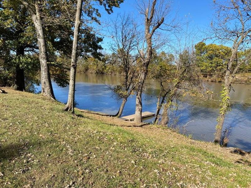
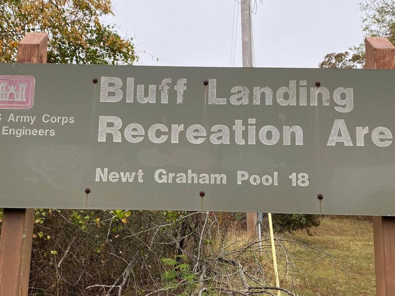
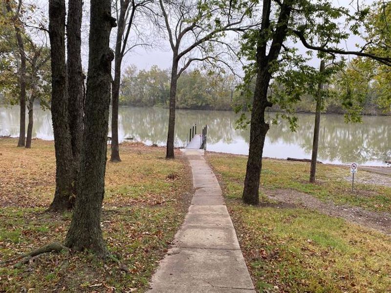
Bluff Landing sits on a scenic oxbow off the main Verdigris River channel, part of the McClellan-Kerr Navigation System, approximately 12 miles east of Broken Arrow, Oklahoma. The campground is operated by the U.S. Army Corps of Engineers and provides excellent access to backwaters ideal for fishing and kayaking. Boaters can experience locking through Newt Graham Lock 18 or explore 24.8 miles of navigable waters upstream to the Port of Catoosa.
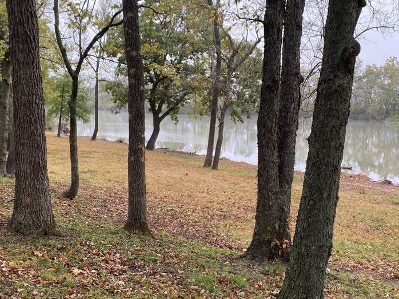
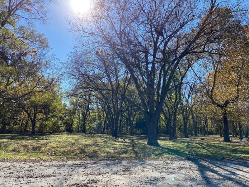
The campground features two loops with 30 sites total: 25 standard electric sites with 30-amp electric and water hookups, and 5 non-electric tent sites. The majority of campsites are shaded by the surrounding mixed hardwood forest, with gravel driveways and back-in access. Each site includes a picnic table, grill, and fire pit, accommodating up to 8 people and 4 vehicles.
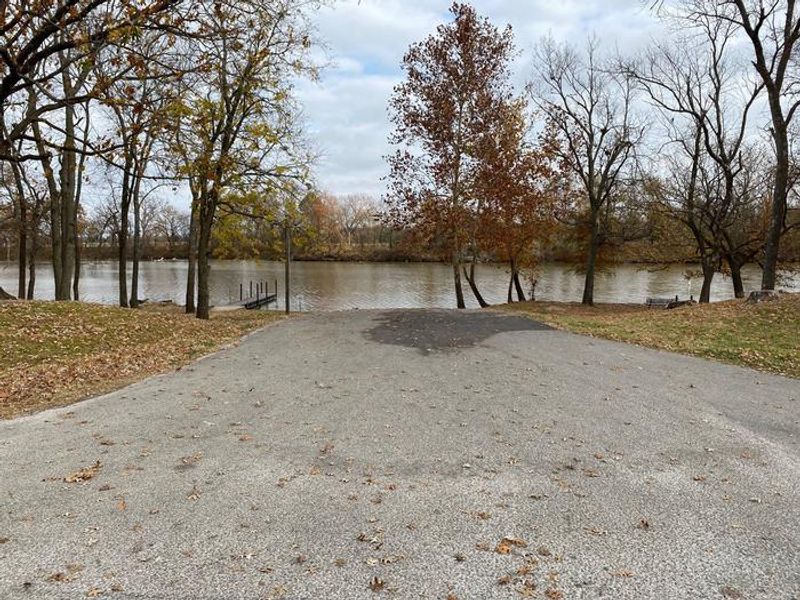
Facilities include flush and vault toilets, shower facilities, potable drinking water, and an RV dump station. A boat ramp and courtesy dock are available, with registered campers exempt from launch fees. The sloping high banks offer direct river access for tying boats at the water's edge, and the elevated position means the campground is rarely affected by flooding.
Directions
From Broken Arrow, OK at State Highway 51 take the Kenosha (E. 71st Street) exit and travel east for 12 miles. Turn left on S. 369 E. Ave. and travel north for 1/2 mile to the park entrance. From Tulsa, OK travel east on US Highway 412 for approximately 5 miles. Turn right on 412P and continue south on S. 305th E. for 7 miles. Turn left and travel east on 71st Street for 4 miles and turn left on S. 369 E. Ave. and travel north for 1/2 mile to park entrance.