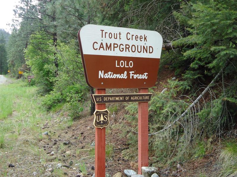
Trout Creek Campground
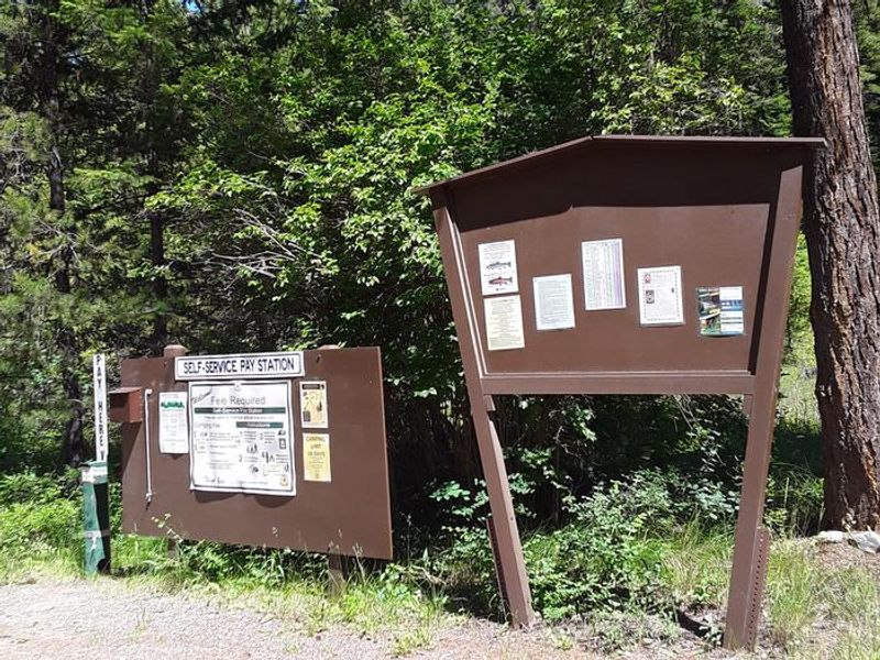
Currently closed for early season. The campground typically operates May through October, dates vary by year. First-come, first-served with Scan and Pay available via the Recreation.gov mobile app. Arrival no earlier than 2:00 PM, departure by 11:00 AM.
Northern Region Camping & Target Restrictions, Pallet Prohibition
This order defines the maximum length of occupation at a single location or cumulatively at any number of locations within a calendar year, within the states of Montana, North Dakota, South Dakota, and Idaho
Weed Free Forage & Mulch Products Order for the Northern Region
It is illegal to possess, store or transport straw, hay, grain, seed or other forage or mulch products on Forest Service lands without documentation that the product is certified as “weed free” by a state certification process that meets or exceeds the North American Weed Free Forage standards.
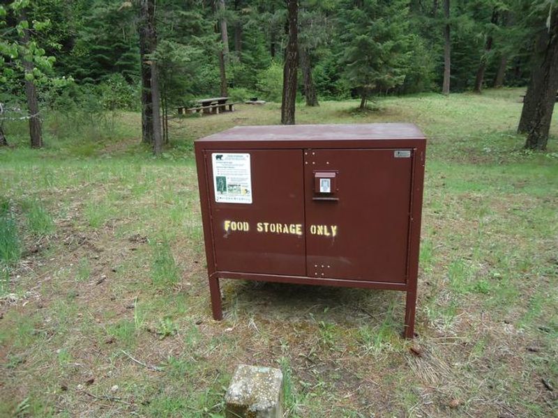
R1-2023-02 - NCDE Food and Wildlife Attractant Storage Order
Northern Continental Divide Ecosystem Food/Wildlife Attractant Storage Order for the Flathead, Lolo, Kootenai, Helena-Lewis and Clark, and Beaverhead-Deerlodge National Forests within the Northern Continental Divide Ecosystem.
About
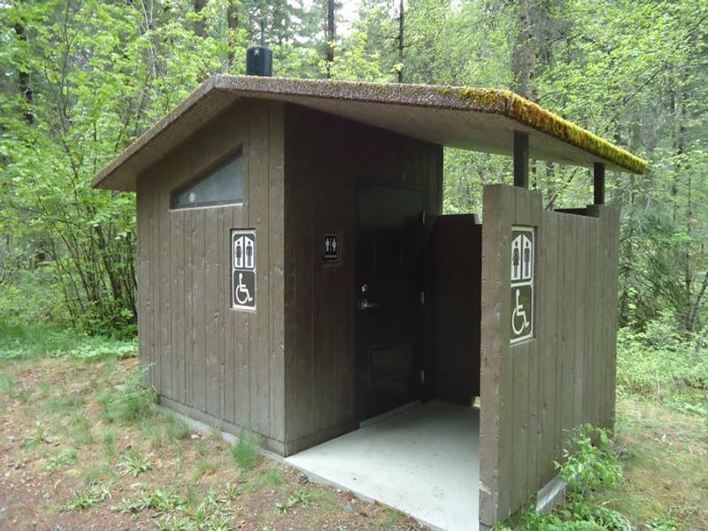
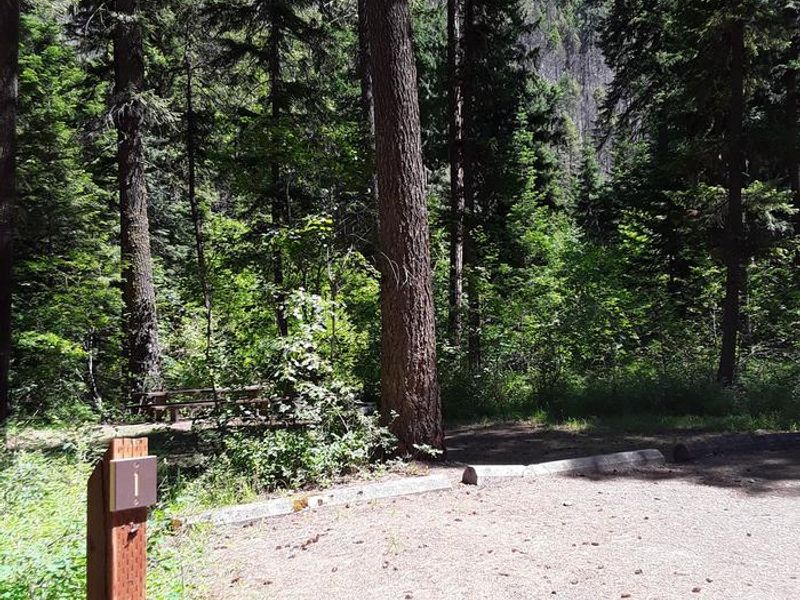
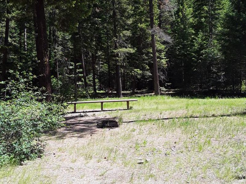
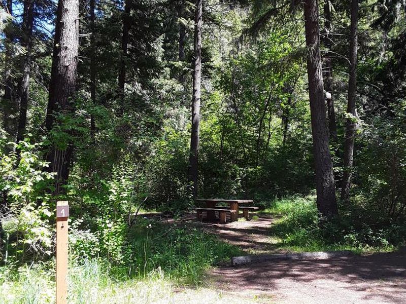
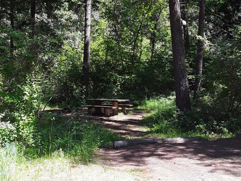
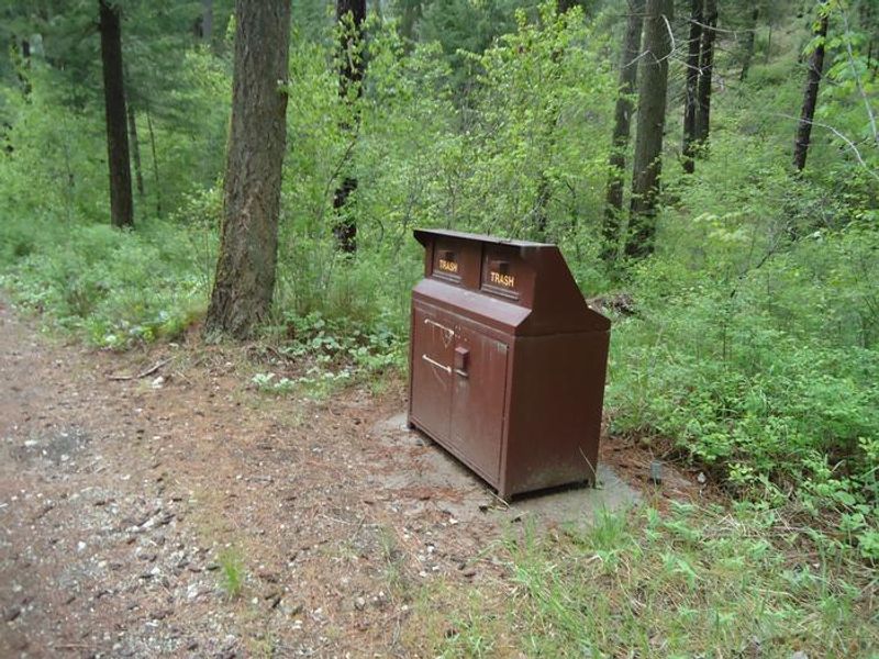
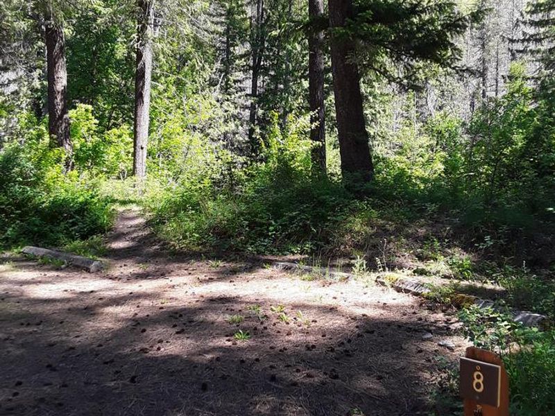
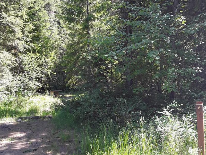
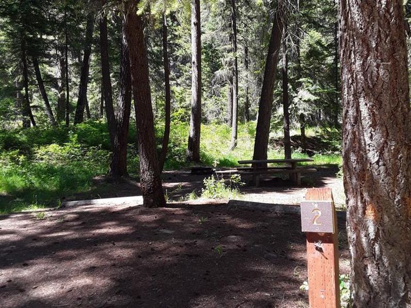
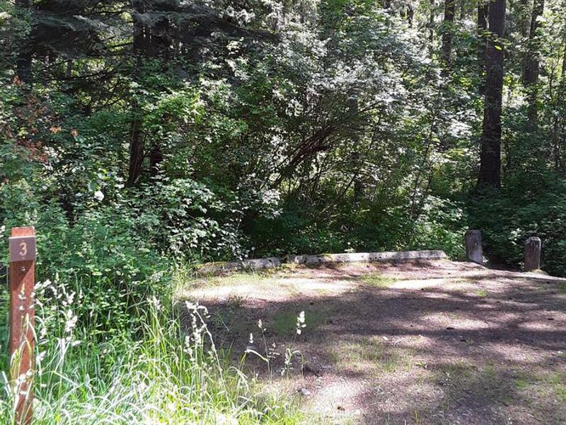
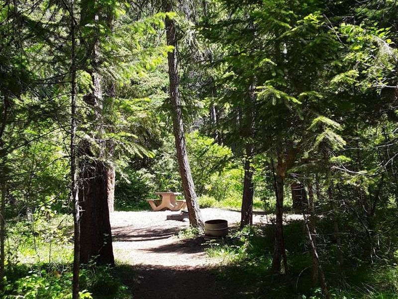
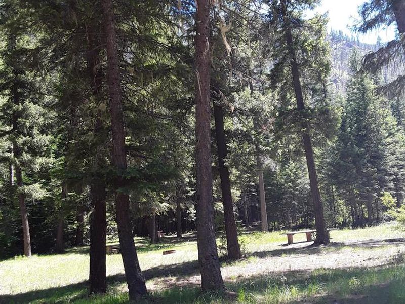
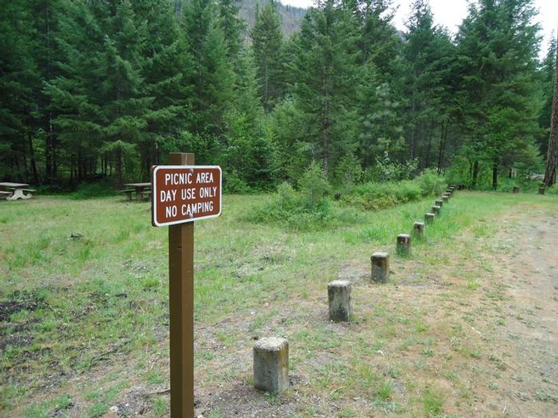
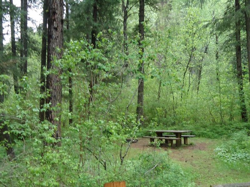
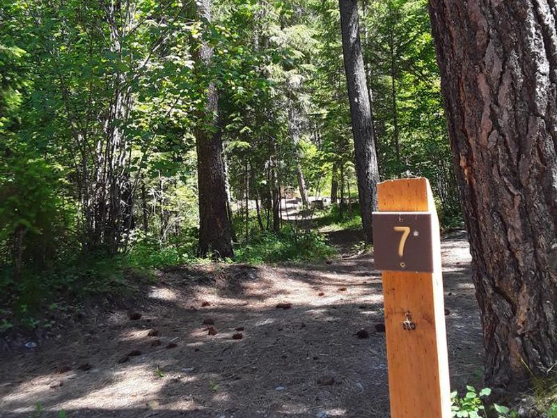
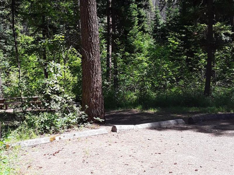
Trout Creek Campground offers rustic forest camping in the cool, shaded valley bottom of Lolo National Forest. Located just 7 miles east of Superior, Montana via Diamond Road and Trout Creek Road, the campground provides easy access from Interstate 90 while maintaining a quiet, woodsy atmosphere. The 12 graveled sites are spacious with natural screening between them, and several sites sit creekside along Trout Creek. Each site features a picnic table and fire ring, with three vault toilets serving the campground. Trash service is provided during the operating season. There is no potable water on site, so campers must bring their own water supply. The back-in only sites can accommodate pickup campers, tents, and smaller travel trailers, with RV lengths limited to 27-35 feet depending on the specific site. Large RVs and trailers are not recommended. Nearby recreation includes fishing in Trout Creek, access to Heart Lake and HooDoo Lake, and trail systems along the state line. The Route of the Hiawatha Trail is 50 miles west, and Alberton Gorge is 21 miles east. Superior offers gas and groceries within 7 miles.
Directions
From Interstate 90 near Superior, take exit 47 and head to the south side of the interstate. Turn left (east) at the T-intersection onto Diamond Road (paved). Travel about 5 miles until the pavement ends, then continue on Trout Creek Road #250 (improved gravel) for 2 miles. The campground is on the left.
Amenities
| Water | No |
| Fires Allowed | Yes |
| Toilets | Yes |
| Dump Station | — |
| Wifi | No |
| Pets Allowed | Yes |
| Showers | No |
| Electric Hookups | — |
| Water Hookups | — |
| Sewer Hookups | — |
| Camp Store | No |
| Price | $15 |
Vehicle
| Max RV Length | 35ft |
| Max Trailer Length | 35ft |
| Big Rig Friendly | No |
| Pull Through Sites | No |
Contact
| Phone | +1 (406) 822-4233 |
Cell Service
| AT&T | Yes |
| Verizon | None |
| T-Mobile | None |
Availability
Photos

Community Posts
No posts yet. Be the first to share your experience!