Timber Camp Recreation Area And Group Campgrounds
Open year-round. Brundrett 1 individual sites are first-come-first-served; Brundrett 2 and Equestrian group sites require advance reservation through Recreation.gov at least 3 days ahead. Stage 1 Fire Restrictions are currently in effect. No potable water on site. 14-day stay limit.
Flood Watch issued November 1 at 12:41AM MST until November 2 at 5:00AM MST by NWS Phoenix AZ
* WHAT...Flash flooding caused by excessive rainfall continues to be possible. * WHERE...A portion of south central Arizona, including mainly Southern Gila County. * WHEN...Through late tonight. * IMPACTS...Excessive runoff may result in flooding of rivers, creeks, streams, and other low-lying and flood-prone locations. Low-water crossings may be flooded. * ADDITIONAL DETAILS... - An atmospheric river ahead of a weather system will continue to bring well above normal moisture to the region through today and lead to a prolonged period of light to moderate rainfall across the Watch area. Embedded convection will produce pockets of heavier rain. Additional rainfall amounts, on the order of 2-4+", through the course of Sunday on top of already moist soils, will lead to additional runoff. Runoff in major streams, creeks, and rivers may persist through the first half of the week. - http://www.weather.gov/safety/flood
Flood Warning issued October 31 at 10:26PM MST until November 2 at 8:00AM MST by NWS Phoenix AZ
* WHAT...Flooding caused by excessive rainfall is expected. * WHERE...Gila County in east central Arizona... * WHEN...Until 800 AM MST Monday. * IMPACTS...Flooding of Tonto Creek and flood-prone locations is occurring. Low-water crossings are inundated with water and may not be passable. Tonto Creek is expected to continue to slowly rise over the next 12-24 hours. * ADDITIONAL DETAILS... - At 1026 PM MST, a streamflow gauge on Tonto Creek north of Tonto Basin is above action stage, with a stage height of 4.38 feet at 915 PM MST. Flooding is ongoing along Tonto Creek in the warned area. Please use the Tonto Creek Bridge for all travel across the creek. Bar X Crossing, and any other low water crossings, will likely become impassable. - Some locations that will experience flooding include... Tonto Basin. - http://www.weather.gov/safety/flood
Flood Advisory issued November 1 at 2:56AM MST until November 1 at 7:00AM MST by NWS Phoenix AZ
* WHAT...Flooding caused by excessive rainfall is expected. * WHERE...Gila County in east central Arizona... Pinal County in southeastern Arizona... * WHEN...Until 700 AM MST. * IMPACTS...Minor flooding in low-lying and poor drainage areas. Rises in small streams and normally dry arroyos. * ADDITIONAL DETAILS... - At 256 AM MST, Doppler radar and automated rain gauges indicated moderate to at times heavy rain in the warned area. Minor flooding is ongoing or expected to begin shortly in the advisory area. Between 0.5 and 2 inches of rain have fallen over the last 6 hours. - Additional rainfall amounts of 0.5 to 1.5 inches are expected within portions of the area over the next several hours. This additional rain will result in minor flooding. - Some locations that will experience flooding include... Globe, Superior, Miami, Top Of The World, Top-Of-The-World, Claypool, Central Heights-Midland City, Boyce Thompson Arboretum and Inspiration. - http://www.weather.gov/safety/flood
About
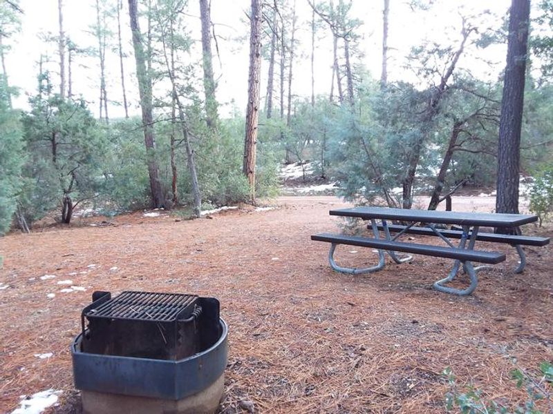
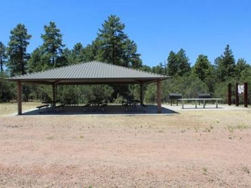
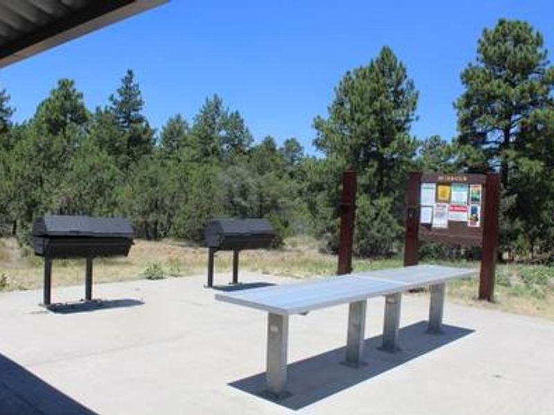
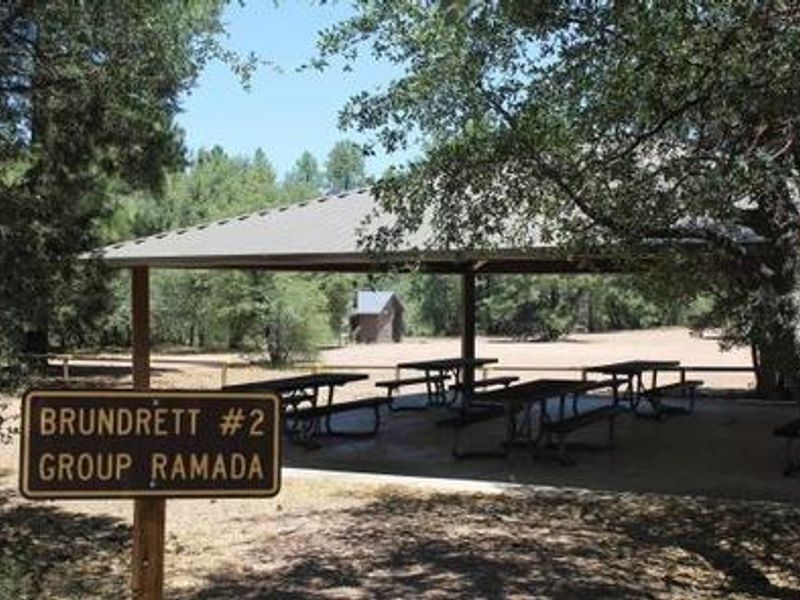
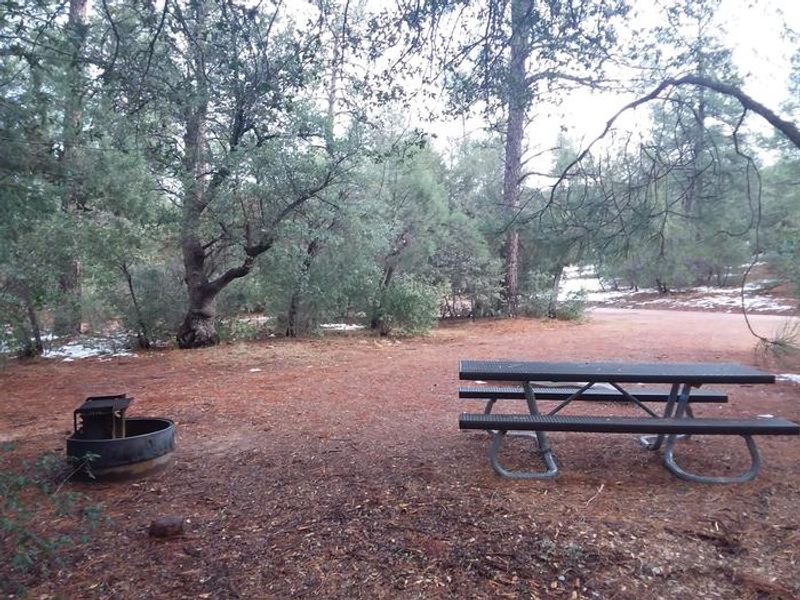
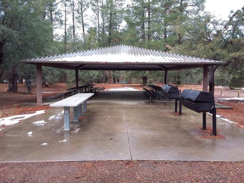
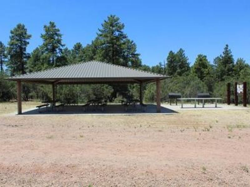
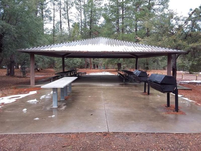
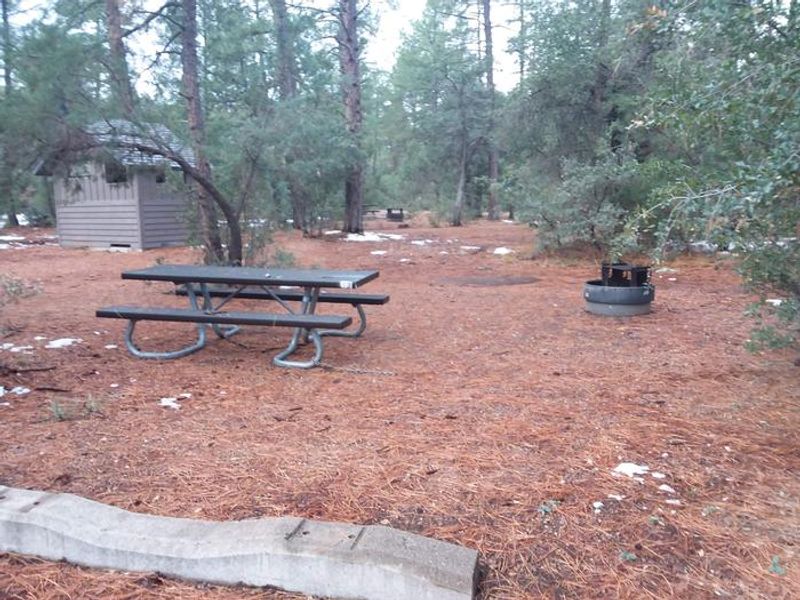
Timber Camp Recreation Area is one of the most popular campgrounds in Tonto National Forest, providing a cool retreat from Arizona's desert heat at elevation in the Timber Camp Mountains. The facility includes Brundrett 1 with 13 individual campsites (12 single, 1 double occupancy) available first-come-first-served, plus two reservable group sites: Brundrett 2 and an Equestrian Group Site, each accommodating up to 150 people. The equestrian site features steel corrals and hitching rails for horses, making it ideal for multi-day horseback riding trips across the surrounding open terrain. While no dedicated equestrian trails exist, the area is well-suited for cross-country riding. Brundrett 2 offers a large open gravel lot with pavilions, perfect for group gatherings. Both group sites require advance reservations through Recreation.gov. Five miles east, the landscape transitions to the dramatic ledges and vistas of the Salt River Canyon and its wilderness area. In spring, whitewater rafting launches from the Upper Salt River about 20 minutes away. Seneca Lake and Falls lie 10 miles north on White Mountain Apache Tribal lands (WMAT permit required).
Directions
From Globe, head north on Highway 60 toward Show Low for about 20 miles. The campground is adjacent to Highway 60 and south of the Seneca Lake Recreation Area.
Nearby Campgrounds
Amenities
| Water | No |
| Fires Allowed | Yes |
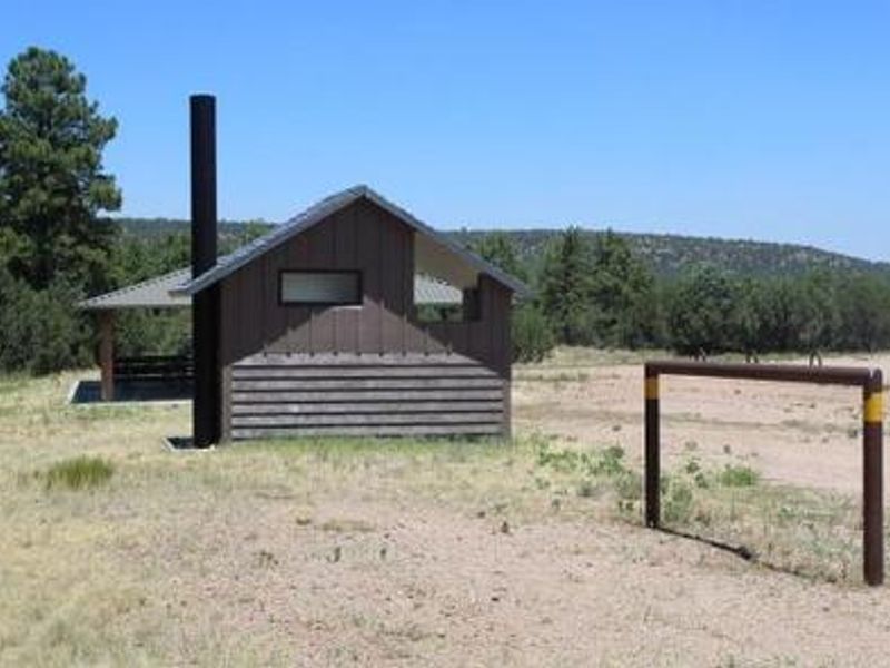
| Toilets | Yes |
| Dump Station | — |
| Wifi | No |
| Pets Allowed | — |
| Showers | No |
| Electric Hookups | — |
| Water Hookups | — |
| Sewer Hookups | — |
| Camp Store | No |
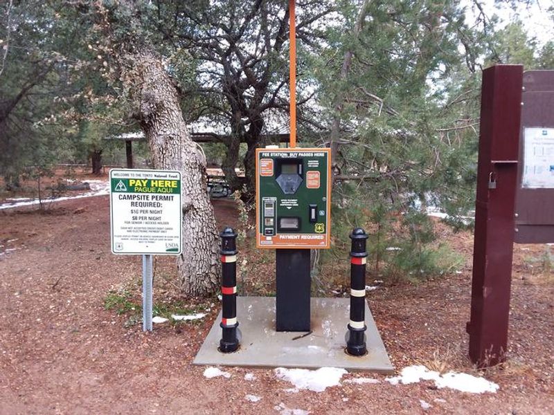
| Price | $16 |
Vehicle
| Max RV Length | — |
| Max Trailer Length | 45ft |
| Big Rig Friendly | — |
| Pull Through Sites | No |
Contact
| Phone | +1 (928) 402-6200 |
Cell Service
| AT&T | Yes |
| Verizon | Yes |
| T-Mobile | None |
Availability
Photos
Community Posts
No posts yet. Be the first to share your experience!