Grapevine Campground
Currently closed due to water system issues. Regular operating season runs October 1 through May 31. Reservations via Recreation.gov must be made at least 4 days ahead and up to 12 months in advance. 14-day stay limit in effect. Stage 1 fire restrictions and very high fire danger currently in effect.
Flash Flood Warning issued October 11 at 7:15AM MST until October 11 at 11:15AM MST by NWS Phoenix AZ
FFWPSR The National Weather Service in Phoenix has issued a * Flash Flood Warning for... The Sand Stone and Spring burn scar in... Gila County in east central Arizona... Maricopa County in south central Arizona... * Until 1115 AM MST. * At 715 AM MST, Doppler radar and automated rain gauges indicated thunderstorms producing heavy rain over the Sand Stone and Spring Burn Scars, as well as across portions of northeast Maricopa County. Between 0.5 and 1.5 inches of rain have fallen. Additional rainfall amounts of 0.25 to 0.75 inches are possible in the warned area. Flash flooding is ongoing or expected to begin shortly. Excessive rainfall over the burn scar will result in debris flow. The debris flow can consist of rock, mud, vegetation and other loose materials. HAZARD...Life threatening flash flooding. Thunderstorms producing flash flooding in and around the Sand Stone and Spring Burn Scar. SOURCE...Radar and automated gauges. IMPACT...Life threatening flash flooding of areas in and around the Sand Stone and Spring Burn Scar. * Some locations that will experience flash flooding include... Ballantine Trailhead, Round Valley, Sugarloaf Mountain, Sunflower, Sycamore Creek, Saguaro Lake and Salt River Tubing Recreation Area. This includes AZ Route 87 between mile markers 196 and 205.
Wind Advisory issued October 11 at 12:23AM MST until October 11 at 5:00PM MST by NWS Phoenix AZ
* WHAT...South winds 15 to 25 mph with gusts up to 45 mph expected. * WHERE...A portion of south central Arizona. * WHEN...From 8 AM this morning to 5 PM MST this afternoon. * IMPACTS...Difficult driving conditions, especially for larger vehicles traveling along roads with crosswinds. Light, unsecured objects may become airborne.
Flood Advisory issued October 11 at 10:11AM MST until October 11 at 1:00PM MST by NWS Flagstaff AZ
* WHAT...Flooding caused by excessive rainfall is expected. * WHERE...Gila County in east central Arizona... Coconino County in north central Arizona... Yavapai County in west central Arizona... * WHEN...Until 100 PM MST. * IMPACTS...Minor flooding in creeks and normally dry washes is imminent or occurring. Water flowing over roadways will create slick roads and muddy unpaved roads. * ADDITIONAL DETAILS... - At 1005 AM MST, trained weather spotters reported heavy rain in the advisory area due to thunderstorms. Minor flooding is ongoing or expected to begin shortly. Between 1 and 2 inches of rain have fallen. - This includes the following creeks, washes and rivers... Davenport Wash, Larry Creek, Corduroy Wash, West Clear Creek, Clear Creek, Kinder Draw, Hardscrabble Creek, Dry Wash, Houston Creek, Gap Creek, Pigeon Creek, South Prong Sycamore Creek, West Webber Creek, North Fork Deadman Creek, Little Squaw Creek, Little Ash Creek, Bull Run Creek, Horse Creek, Deadman Creek, Cienega Creek, East Branch Squaw Creek, Dry Creek, Tangle Creek, Silver Creek, Verde River, Cold Water Creek, Bishop Creek, Tank Creek, Jacks Canyon, Indian Creek, Spring Wash, Little Sycamore Creek, New River, Ash Spring Creek, Sycamore Creek, Fossil Creek, Red Creek and Wet Bottom Creek. Additional rainfall amounts of 0.5 to 1.5 inches are expected over the area. This additional rain will result in minor flooding. - Some locations that will experience flooding include... Payson, Camp Verde, Pine, Strawberry, Mesa Del Caballo, Round Valley, Verde Lakes, East Verde Estates, Deer Creek, Oxbow Estates, Mountain View Estates, Beaver Valley Estates, Fort McDonald, Ellison Creek Cascades, Whispering Pines, Washington Park, Jakes Corner and Rye. - This includes the following highways... State Route 260 between mile markers 222 and 254. State Route 188 between mile markers 274 and 276. State Route 87 southbound between mile markers 241 and 251. State Route 87 between mile markers 230 and 295. This includes the following recreation areas andcampgrounds... Geronimo Boy Scout Camp, Rock Crossing Campground, Clints Well Campground, Clear Creek Group Campgrounds, Houston Mesa Campground, Kehl Springs Campground, Rumsey Park, Green Valley Park and Shadow Rim Ranch. This includes the following swimming holes... Water Wheel Falls, Ellison Creek Cascades, All swimming holes and waterfalls on Fossil Creek, Bull Pen Day Use Area, West Clear Creek near the campground, Fossil Creek Dam "The Toilet Bowl" and Indian Maiden Falls. - Additional information is available at weather.gov/flagstaff.
About
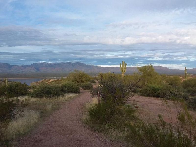
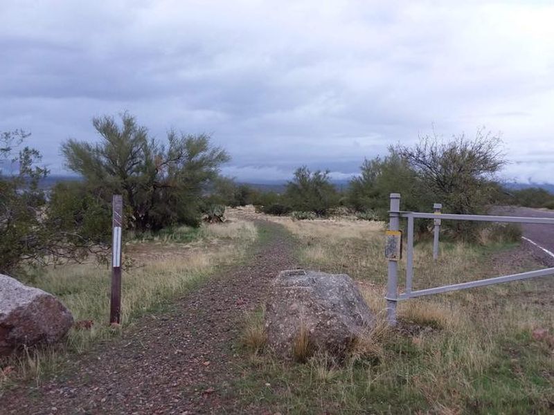
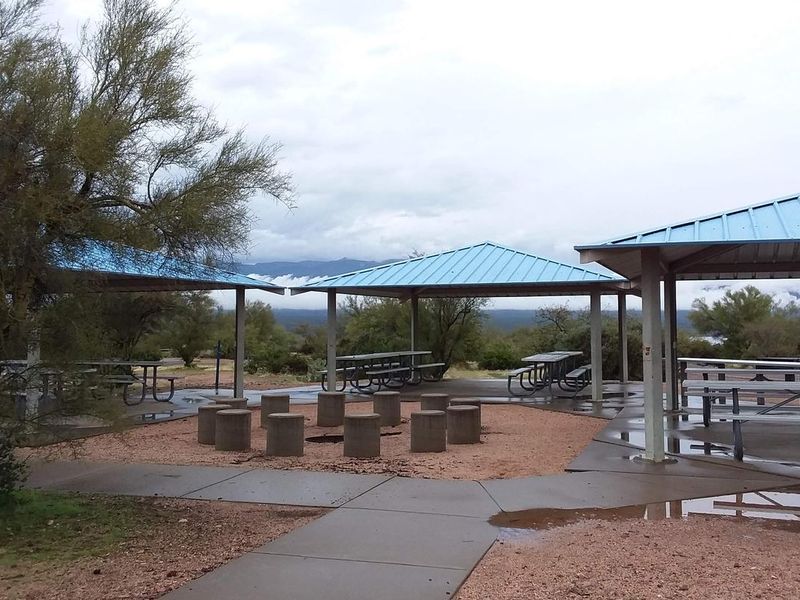
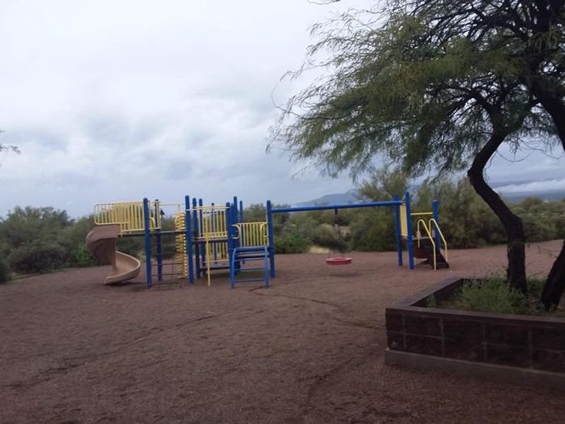
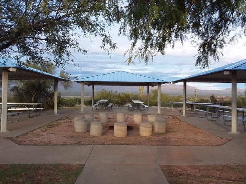
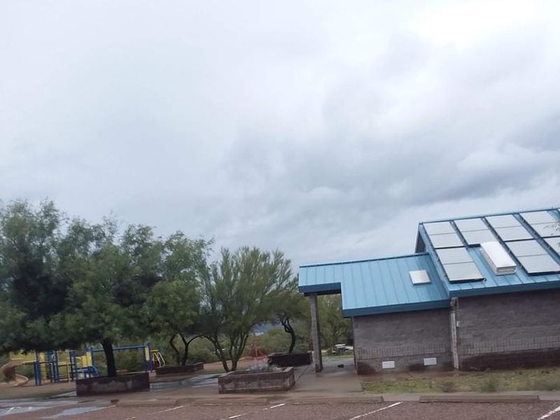
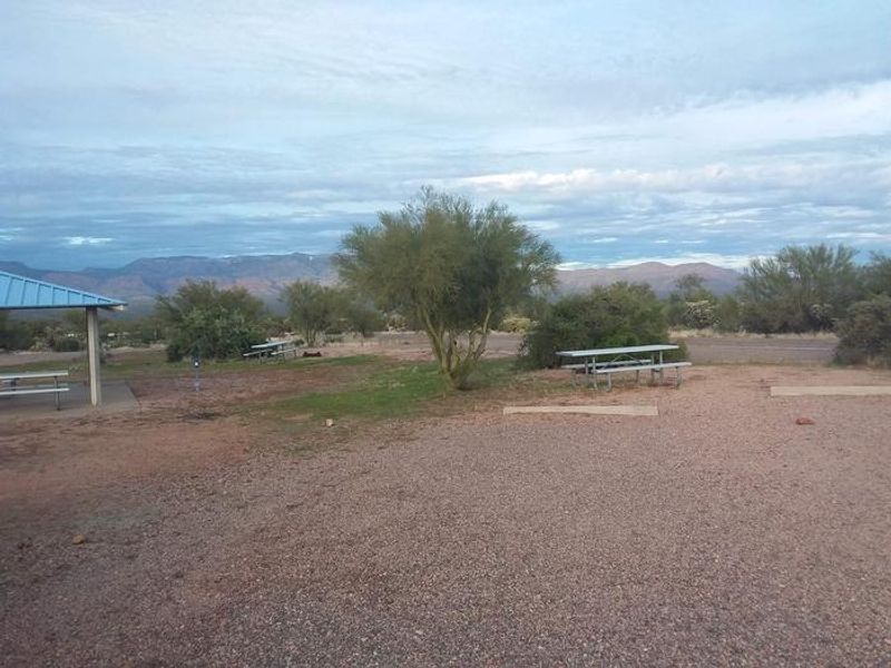
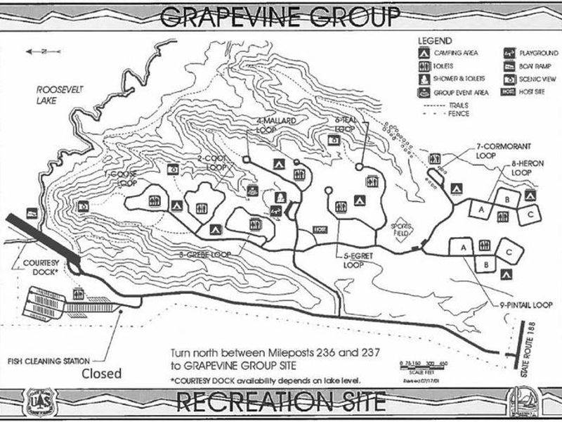
Groups are drawn to Grapevine Group Campground's unique setting and expansive facilities along Roosevelt Lake in Tonto National Forest. At 2,200 feet elevation, the nine group sites named after waterfowl (Coot, Goose, Grebe, Mallard, Teal, Pintail, Egret, Heron, and Cormorant) offer stunning views of blue water, the Sierra Ancha mountains, and sunsets against three mountainous wilderness areas. Each group site includes flush toilets, water hydrants, and shelters with group-sized picnic tables, grills, and fire rings. The campground also features showers, a boat ramp with a platform to assist individuals getting into boats, an event area, playground, sports field, and a shoreline trail for hikers and mountain bikers. Activities include boating, fishing, jet skiing, water skiing, and exploring peaceful coves. Nearby attractions include Tonto National Monument cliff dwellings, the Apache Trail Historic Road (State Hwy 88), Desert to Tall Pines Scenic Road (State Hwy 288), and the Tonto Basin Visitor Center. The nearest grocery store is 25 miles away in Miami, Arizona, so campers should plan accordingly.
Directions
From Phoenix: Take State Hwy 87/Beeline Highway north for about 75 miles to its junction with State Hwy 188. Turn right and follow State Hwy 188 for 41 miles to Forest Road 84. Turn left and follow FR 84 for 1.5 miles to the campground. From Globe: Take State Hwy 188 north for about 31 miles to Forest Road 84, turn left and follow FR 84 for 1.5 miles. All routes are paved.
Amenities
| Water | Yes |
| Fires Allowed | Yes |
| Toilets | Yes |
| Dump Station | — |
| Wifi | — |
| Pets Allowed | — |
| Showers | Yes |
| Electric Hookups | — |
| Water Hookups | — |
| Sewer Hookups | — |
| Camp Store | No |
| Price | $75 |
Vehicle
| Max RV Length | — |
| Max Trailer Length | 32ft |
| Big Rig Friendly | No |
| Pull Through Sites | No |
Contact
| Phone | +1 (602) 225-5395 |
Cell Service
| AT&T | Yes |
| Verizon | Yes |
| T-Mobile | Yes |
Availability
Photos
Community Posts
No posts yet. Be the first to share your experience!