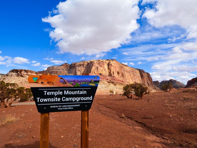
Temple Mountain Townsite Campground
Open year-round, first-come-first-served. No advance reservations available. Sites are nonelectric with no hookups or potable water.
Flood Watch issued October 9 at 1:04PM MDT until October 12 at 6:00PM MDT by NWS Salt Lake City UT
Moisture associated with the remnants of Tropical Storm Rachel will impact Utah this weekend bringing widespread rainfall totals ranging from 2-4". Some highly localized amounts to 6-8" are also possible, particularly across terrain-favored locations in southwestern Utah, the Book Cliffs, and Bear River Range. * WHAT...Flash flooding caused by excessive rainfall is possible. * WHERE...A portion of Utah, including the following areas, Castle Country, Central Mountains, Eastern Juab/Millard Counties, San Rafael Swell, Sanpete Valley, Sevier Valley, Wasatch Plateau/Book Cliffs, Bryce Canyon Country, Capitol Reef National Park and Vicinity, Glen Canyon Recreation Area/Lake Powell, South Central Utah, Southern Mountains, Upper Sevier River Valleys, Western Canyonlands, Lower Washington County, Southwest Utah and Zion National Park. This also includes recent burn scars such as Forsyth, Cottonwood, Silver King, France Canyon, and Monroe Canyon. * WHEN...From Saturday afternoon through Monday afternoon. * IMPACTS...Excessive runoff may result in flooding of rivers, creeks, streams, dry washes, slot canyons, and other low-lying and flood-prone locations such as slickrock areas and recent burn scars. Creeks and streams may rise out of their banks. Flooding may occur in poor drainage and urban areas. * ADDITIONAL DETAILS... - Anomalously high moisture is forecast to impact the region with the arrival of the remnants of Tropical Storm Rachel. While this is expected to be a long duration rainfall event, scattered instances of heavier rainfall rates are expected with stronger storms yielding flash flooding concerns given saturated soils and prior burn scars. - http://www.weather.gov/safety/flood
About
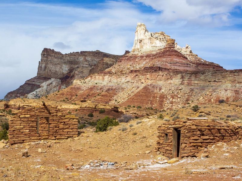
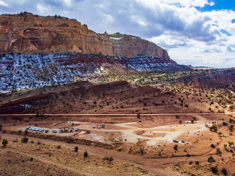
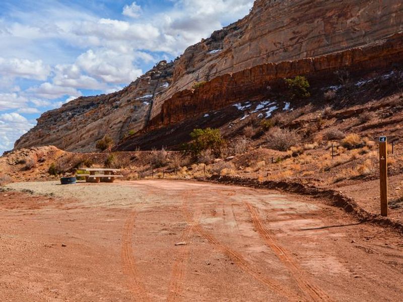
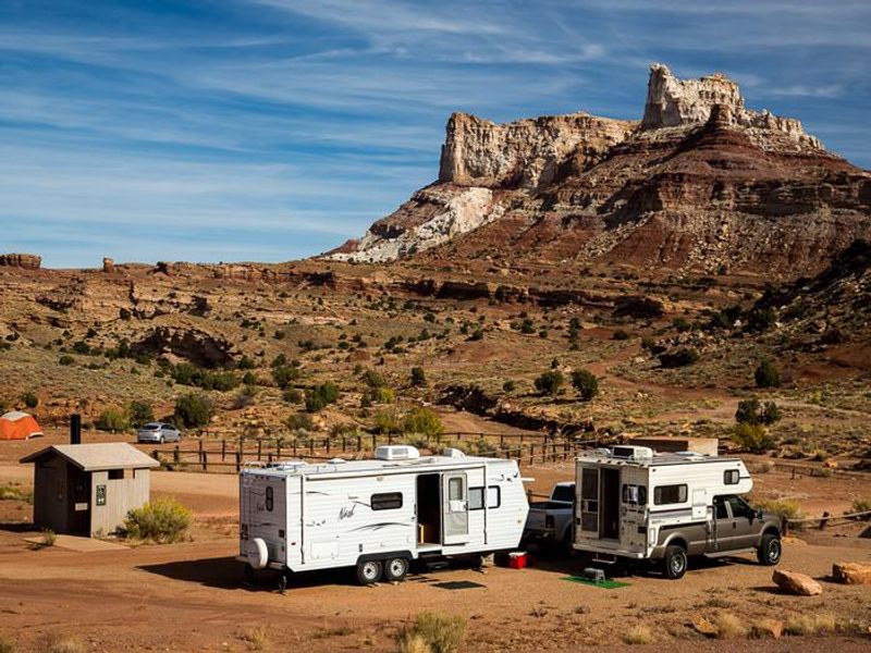
Temple Mountain Townsite Campground occupies a striking location at the mouth of Temple Wash, where a short, steep canyon cuts through the San Rafael Reef. The Reef is a 75-mile-long rocky spine reaching up to 1,000 feet high that forms the eastern edge of the San Rafael Swell. The surrounding landscape features red and white rock formations, scenic slot canyons, hills, and spires. The campground serves as a basecamp for exploring the historic Temple Mountain Mining District, a Cold War-era uranium mining area. Visitors can hike to reclaimed mines, drive to the Temple Mountain Pictograph Panel, or tackle the longer North Temple Wash loop. The Behind-the-Reef Road provides access to wilderness trailheads including Chute Canyon and Wild Horse Canyon, with the first six miles passable by most vehicles and the remaining 14 miles requiring high-clearance 4WD. Goblin Valley State Park lies just two miles east, famous for its sandstone hoodoos and buttes. Little Wild Horse Canyon, the most popular slot canyon hike in the San Rafael Reef, can be accessed nearby and paired with Bell Canyon for an eight-mile loop.
Directions
From Highway 24, turn west onto Temple Mountain Road (signed for Goblin Valley State Park). Continue straight past the state park turnoff as the road turns from pavement to gravel and enters a short canyon. The campground is on the north (right) side of the road as the canyon opens up, seven miles from the highway turnoff.
Nearby Campgrounds
Location
Amenities
| Water | No |
| Fires Allowed | Yes |
| Toilets | Yes |
| Dump Station | No |
| Wifi | No |
| Pets Allowed | — |
| Showers | No |
| Electric Hookups | — |
| Water Hookups | — |
| Sewer Hookups | — |
| Camp Store | No |
| Price | $15 - $50 |
Vehicle
| Max RV Length | — |
| Max Trailer Length | — |
| Big Rig Friendly | — |
| Pull Through Sites | No |
Contact
| utprmail@blm.gov | |
| Phone | +1 (435) 636-3600 |
Cell Service
| AT&T | None |
| Verizon | None |
| T-Mobile | None |
Useful Links
| View on Recreation.gov | |
| BLM Temple Mountain Townsite |
Availability
Photos
Community Posts
No posts yet. Be the first to share your experience!