South Temple Wash
Open year-round, first-come, first-served. No advance reservations available.
Hydrologic Outlook issued October 8 at 3:13PM MDT by NWS Salt Lake City UT
ESFSLC The remnants of Tropical Storm Rachel will merge with a fall-like storm system over the western United States, bringing moderate to heavy rainfall and a resulting threat of flooding. Widespread rainfall of 1 to 3 inches is expected, locally in excess of 3 inches, particularly across south aspects of southern Utah mountains, between late Saturday and Monday morning. Expect many area waterways including streams, rivers, normally dry washes, creeks, and slot canyons to have rising, fast flows by Sunday evening. Current forecasts do not bring any rivers to flood stage, but this will be monitored as the fine details of heavy rain bands become more confident. Those with activities near rivers, streams, creeks and recent burn scars should closely monitor the forecast over the next several days. Those with outdoor plans Sunday onward that include any travel near waterways across Utah should consider alternate plans. Scattered showers and thunderstorms will remain possible through at least Wednesday. While the rainfall rates with these additional rounds of precipitation will generally be lower, areas that receive significant precipitation during the weekend will be extra sensitive to any additional rainfall.
About
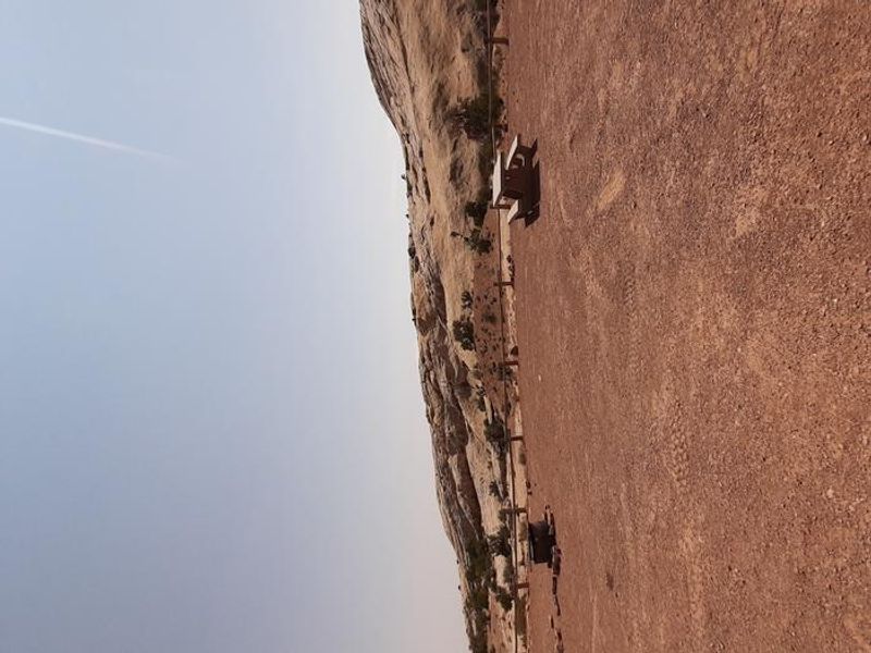
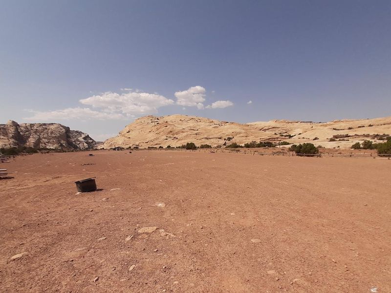
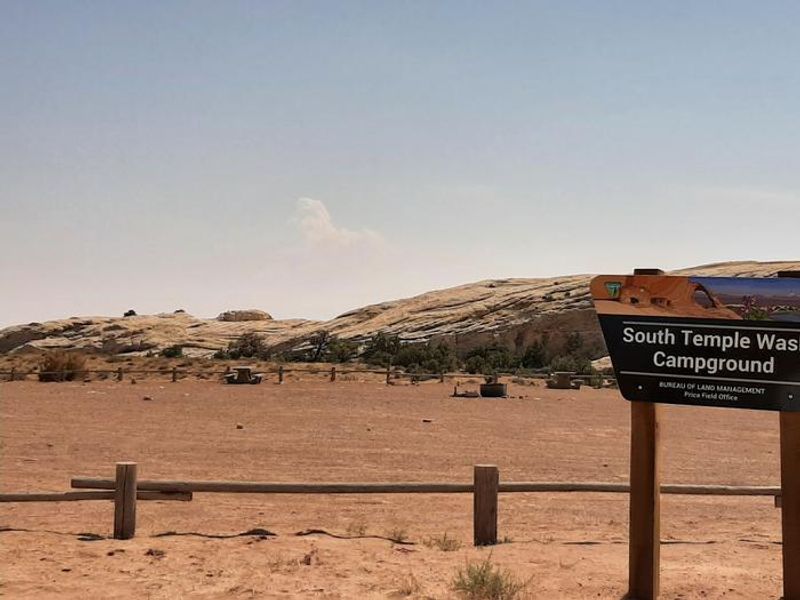
South Temple Wash campground sits at the eastern mouth of Temple Wash, a short steep canyon cutting through the San Rafael Reef. This 75-mile-long rocky spine reaching up to 1,000 feet high forms the eastern edge of the San Rafael Swell, one of central Utah's most distinctive geologic features. The Temple Mountain area provides access to scenic slot canyons, hills, and spires carved from red and white rock. The campground offers 12 sites: 10 standard nonelectric sites and 2 group sites, all with fire rings, picnic tables, and flat gravel surfaces. Two vault toilets and an information kiosk serve the area. Multiple parking areas accommodate large recreational vehicles. No potable water is available; campers must bring their own supply. Nearby attractions include Goblin Valley State Park (2 miles east), famous for its sandstone hoodoos, and Little Wild Horse Canyon, the most popular slot canyon hike in the San Rafael Reef. The three-mile slot canyon can be paired with Bell Canyon via the Behind-the-Reef Road for an eight-mile loop. Temple Mountain Road leads west to the Temple Mountain Pictograph Panel and the historic Temple Mountain Mining District, where visitors can explore reclaimed uranium mines from the Cold War era.
Directions
From Highway 24 between Hanksville and I-70, turn west onto Temple Mountain Road at the Goblin Valley State Park sign. The campground is approximately 5 miles west, just past the Goblin Valley turnoff, at the base of the San Rafael Reef.
Nearby Campgrounds
Location
Amenities
| Water | No |
| Fires Allowed | Yes |
| Toilets | Yes |
| Dump Station | No |
| Wifi | No |
| Pets Allowed | — |
| Showers | No |
| Electric Hookups | — |
| Water Hookups | — |
| Sewer Hookups | — |
| Camp Store | No |
| Price | $15 - $50 |
Vehicle
| Max RV Length | — |
| Max Trailer Length | — |
| Big Rig Friendly | Yes |
| Pull Through Sites | No |
Contact
| blm_ut_price@blm.gov | |
| Phone | +1 (435) 636-3600 |
Cell Service
| AT&T | None |
| Verizon | None |
| T-Mobile | None |
Availability
Photos
Community Posts
No posts yet. Be the first to share your experience!