Sweetwater Guard Station Campground
Open for camping, first-come first-served with no fee. No winter road maintenance; access is typically snowmobile-only from late fall through spring depending on conditions. A 14-day stay limit applies.
About
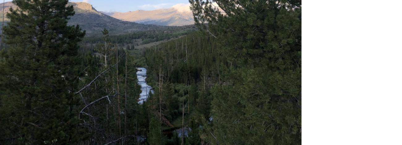
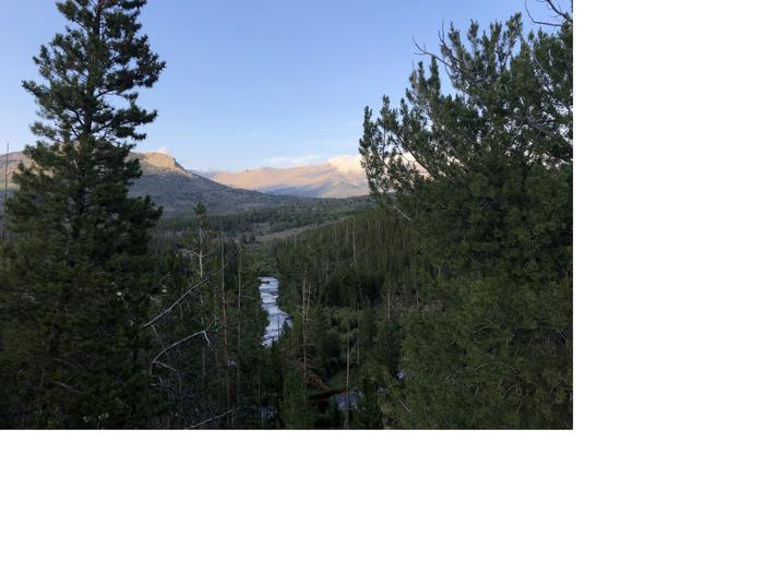
Sweetwater Guard Station Campground sits at the base of the Wind River Mountains in western Wyoming, roughly 69 miles from Lander and 73 miles from Rock Springs. The campground occupies the historic site of the first Fire Guard Station in the area and features 11 sites: 3 walk-in tent sites and 8 pull-in sites including one group site. The Sweetwater River flows alongside the campground, with the Continental Divide National Scenic Trail accessible on the opposite bank. All drive-up sites include picnic tables with wheelchair-accessible gaps in seating and fire rings with grill attachments. The walk-in sites lack improved paths and picnic tables. A single accessible pit vault toilet serves the campground centrally, and bear-proof trash receptacles are provided throughout. There is no potable water, hookups, or cell phone reception. Tree coverage offers natural shade in lieu of picnic shelters. The campground operates on a first-come, first-served basis with no fees and no reservations. A 14-day stay limit applies. The access road is an improved dirt road well-maintained during summer months. No winter road maintenance is provided, making the site typically accessible only by snowmobile during winter.
Directions
From State Highway 28, turn north onto County Road 5-13/Continental Divide Road. Continue for 15 miles and turn east onto BLM Road 4105/Sweetwater Gap Ranch Road for 6 miles. Staying left, travel down BLM Road 4112 for 2.3 miles to the campground loop road.
Location
Amenities
| Water | No |
| Fires Allowed | Yes |
| Toilets | Yes |
| Dump Station | No |
| Wifi | — |
| Pets Allowed | — |
| Showers | No |
| Electric Hookups | — |
| Water Hookups | — |
| Sewer Hookups | — |
| Camp Store | — |
| Price | $0 |
Vehicle
| Max RV Length | — |
| Max Trailer Length | — |
| Big Rig Friendly | — |
| Pull Through Sites | No |
Contact
| Rock_Springs_WYMail@blm.gov | |
| Phone | +1 (307) 352-0256 |
Cell Service
| AT&T | None |
| Verizon | None |
| T-Mobile | None |
Photos
Community Posts
No posts yet. Be the first to share your experience!