Summit Lake North
The campground is currently closed for the season due to snow. Projected 2026 operating dates are June 27 through September 8. Reservations are required and can be made through Recreation.gov up to 6 months in advance.
About
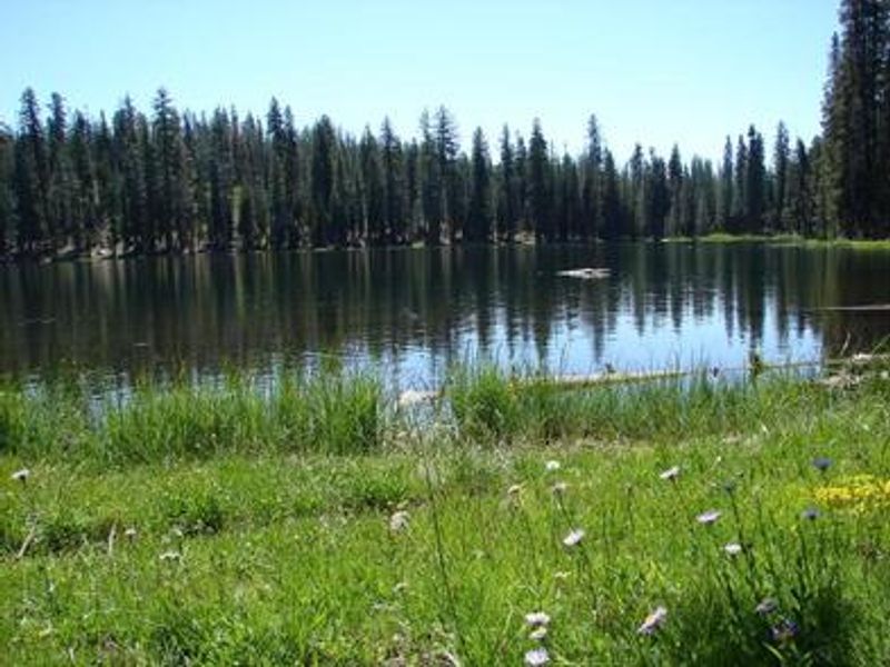
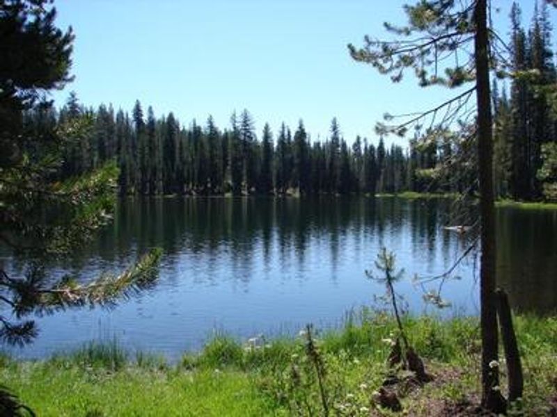
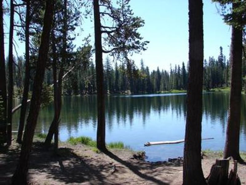
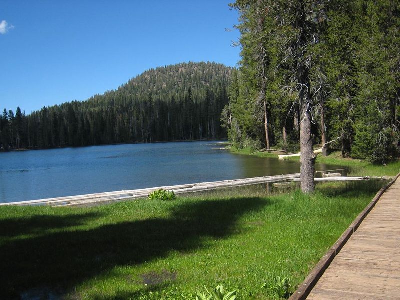
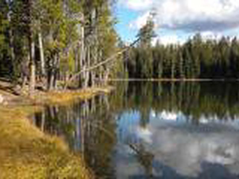
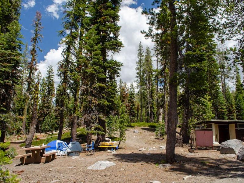
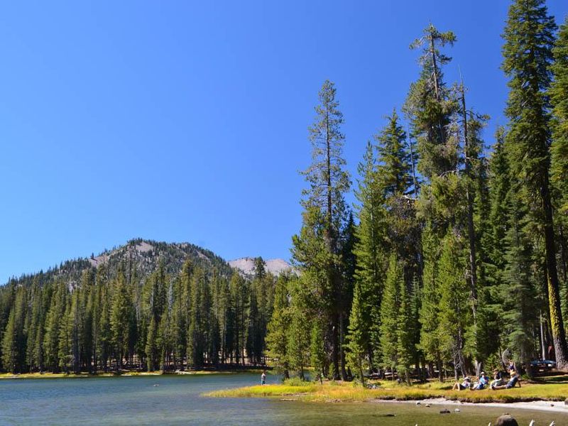
Summit Lake North Campground occupies a forested setting at 6,695 feet on the north side of Summit Lake, located about 14 miles south of the Manzanita Lake entrance along Lassen Peak Highway. The campground contains two loops (A and B) with 46 total sites suitable for tents and RVs. Each site includes a picnic table, fire ring with grate, and bear-resistant food storage locker. Flush toilets and potable water are available seasonally. There are no hookups, dump station, or showers. The location serves as a hub for hiking and backpacking. The Cluster Lakes loop trail, a major route into the park's interior passing several alpine lakes, begins a short walk from the nearby ranger station. Lassen Peak Trail is eight miles away, and the Bumpass Hell hydrothermal area is within 10 miles. The lake offers swimming, with the north shore generally preferred. An amphitheater hosts ranger-led educational programs during the season. The campground is part of a native plant restoration project; campers must keep tents and equipment on campsite areas covered in wood chips to protect recovering vegetation.
Directions
From Redding, California, take State Highway 44 east approximately 48 miles to the Manzanita Lake entrance of Lassen Volcanic National Park. The campground is 14 miles south of the entrance on Lassen Peak Highway.
Nearby Campgrounds
Amenities
| Water | Yes |
| Fires Allowed | Yes |
| Toilets | Yes |
| Dump Station | No |
| Wifi | No |
| Pets Allowed | Yes |
| Showers | No |
| Electric Hookups | — |
| Water Hookups | — |
| Sewer Hookups | — |
| Camp Store | No |
| Price | $24 |
Vehicle
| Max RV Length | 60ft |
| Max Trailer Length | 60ft |
| Big Rig Friendly | — |
| Pull Through Sites | No |
Contact
| Phone | +1 (530) 595-6121 |
Cell Service
| AT&T | None |
| Verizon | None |
| T-Mobile | None |
Availability
Photos

Community Posts
No posts yet. Be the first to share your experience!