Juniper Lake Group
Closed for rehabilitation following the Dixie Fire. No reopening date has been announced. Work is in progress to restore the facility.
About
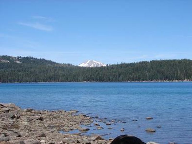
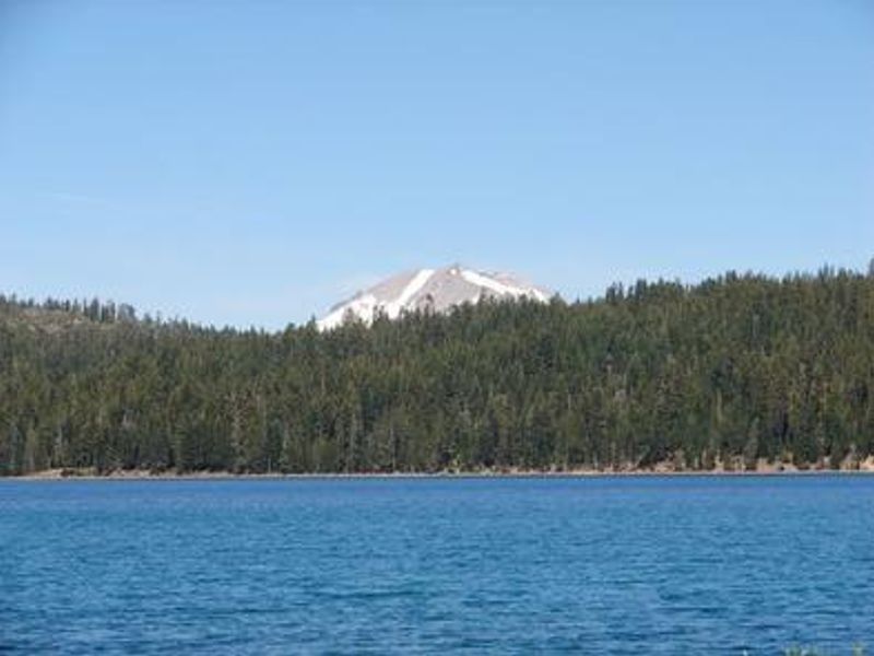
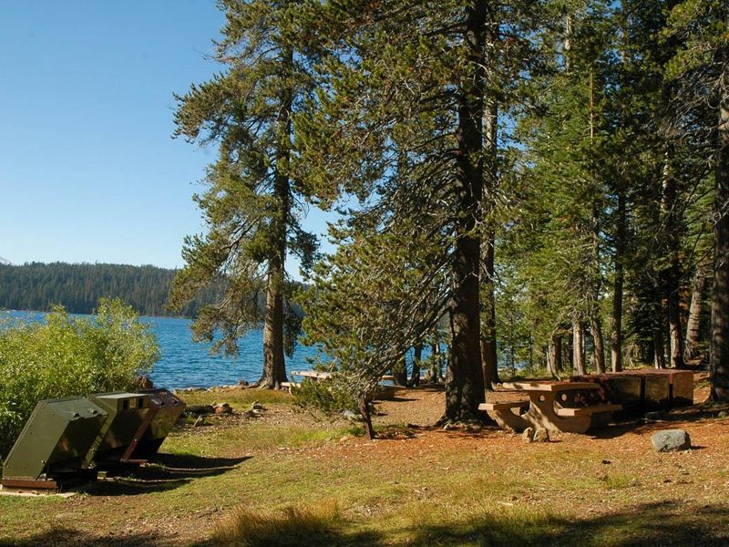
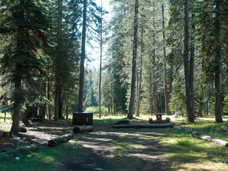
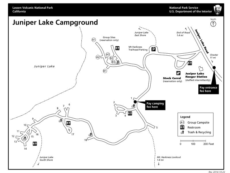
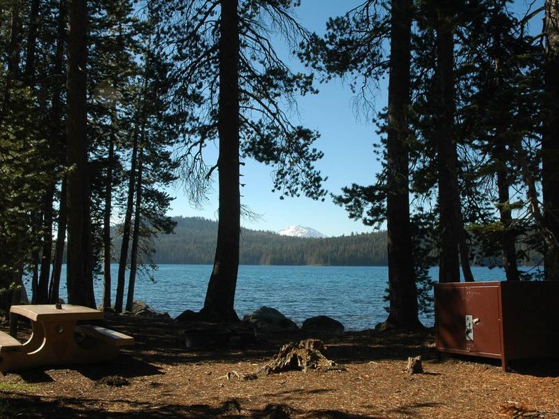
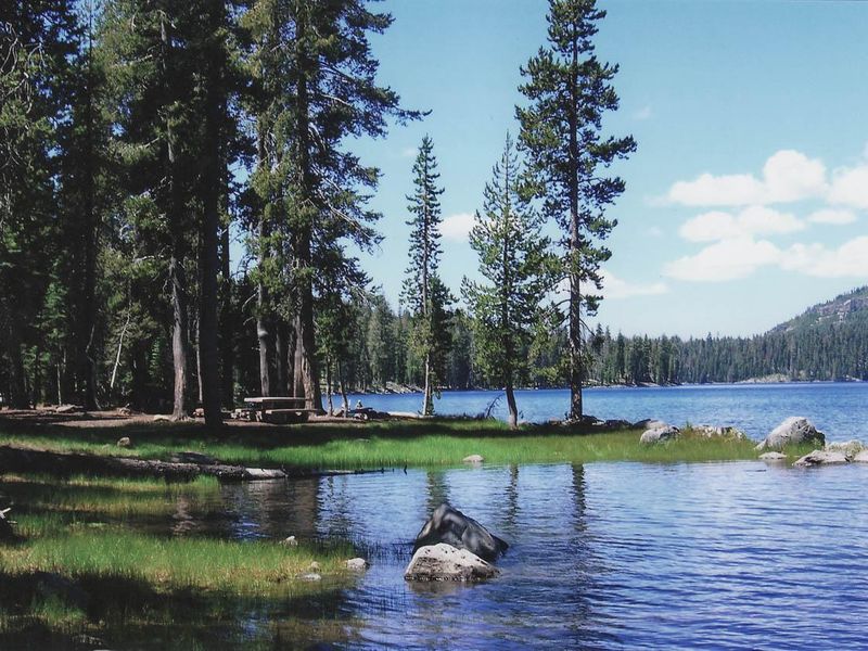
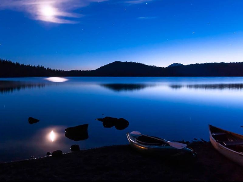
Juniper Lake Group Campground occupies a remote setting in the southeastern portion of Lassen Volcanic National Park at 6,800 feet elevation. The two group sites sit on the eastern shore of Juniper Lake with views of Lassen Peak, the park's signature 10,457-foot volcano and the southernmost active volcano in the Cascade Range. The area showcases Lassen's volcanic heritage, with hydrothermal features like mud pots and steam vents in the surrounding terrain. The campground serves as a launching point for backcountry exploration. Trailheads for Horseshoe Lake, Snag Lake, and the park interior originate here, and the Mount Harkness Trail climbs to a historic fire lookout still in active use. Juniper Lake itself offers excellent swimming, canoeing, and kayaking in a pristine alpine setting. This is a primitive facility. No potable water is available; campers must bring all drinking water. Vault toilets operate seasonally. Each group site includes three picnic tables, three fire grates, and three bear-proof food lockers. The 13-mile access road from Chester includes 6 miles of rough, narrow dirt road unsuitable for RVs, trailers, or buses.
Directions
From Chester on Highway 36 East, turn at the Chester Fire Station onto Feather River Drive. After half a mile, bear right and follow signs to Juniper Lake. The route covers 13 miles total: 7 miles paved, 6 miles rough dirt road. The final stretch is narrow, rutted, and unsuitable for RVs, motor homes, trailers, or buses.
Location
Amenities
| Water | No |
| Fires Allowed | Yes |
| Toilets | Yes |
| Dump Station | No |
| Wifi | — |
| Pets Allowed | Yes |
| Showers | No |
| Electric Hookups | — |
| Water Hookups | — |
| Sewer Hookups | — |
| Camp Store | — |
| Price | $32 |
Vehicle
| Max RV Length | — |
| Max Trailer Length | — |
| Big Rig Friendly | No |
| Pull Through Sites | No |
Contact
| Phone | +1 (530) 595-6121 |
Cell Service
| AT&T | None |
| Verizon | None |
| T-Mobile | None |
Availability
Photos

Community Posts
No posts yet. Be the first to share your experience!