Spearhead Point Shelter
Open for the season. This is a day-use group picnic shelter only, not an overnight campground. The shelter is reservable via Recreation.gov or available first-come, first-served to registered campers at the adjacent campground.
About
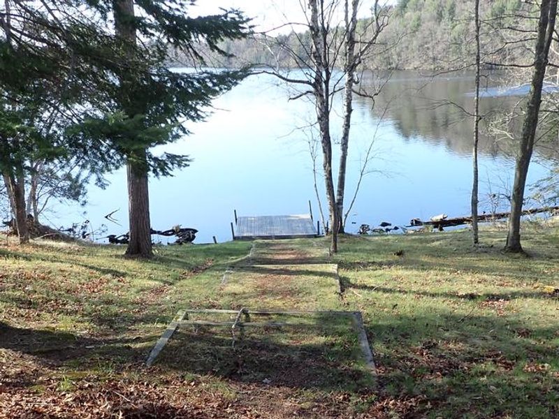
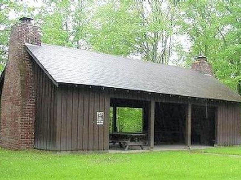
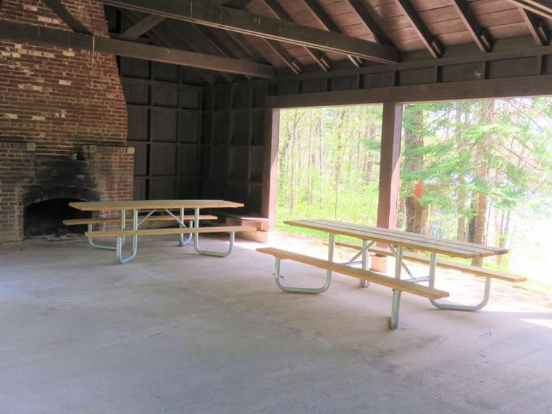
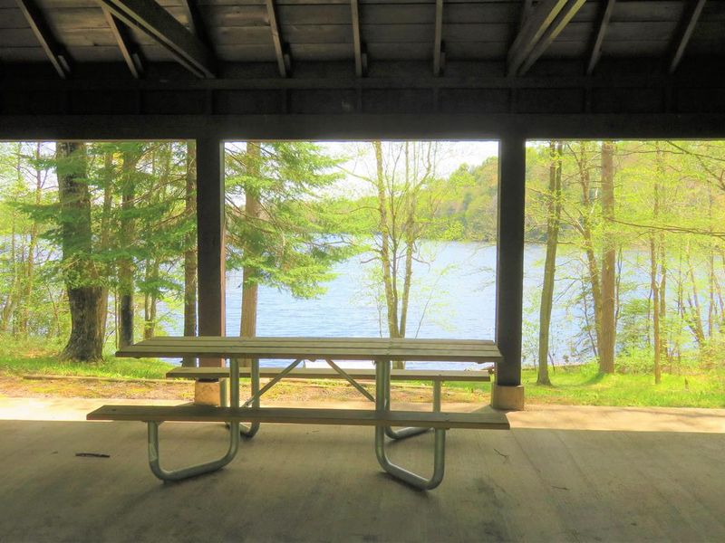
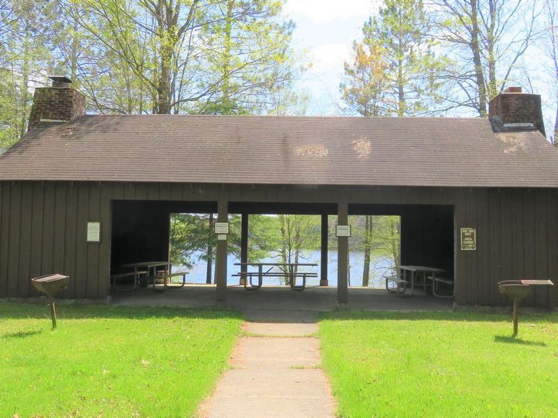
Spearhead Point Shelter is a day-use group picnic facility situated along the western shore of 411-acre Mondeaux Flowage in the Chequamegon-Nicolet National Forest. The shelter is designed for group gatherings of up to 30 people and features picnic tables, grills, and two stone fireplaces. Accessible vault toilets and potable drinking water are available on site. The shelter is located within the larger Spearhead Point Recreation Area, one of the most popular destinations on the Mondeaux Flowage. Visitors can access boating, swimming, and fishing directly from the area, with anglers finding pike, largemouth bass, and bluegill in the flowage. A portion of the Ice Age National Scenic Trail is accessible nearby, offering hiking along the historic glacial edge. This is a day-use facility only and does not provide overnight camping. Overnight accommodations are available at the adjacent Spearhead Point Campground, which operates as a separate reservation.
Directions
From Medford, travel north on State Highway 13 for 4 miles, then turn left (west) onto County Road M and continue for 7 miles. Turn right (north) onto County Highway E and continue about 8 miles, then turn right (east) onto Forest Service Road 1563 and continue for about 1 mile. Turn right (east) onto Forest Service Road 106 and look for the recreation area entrance sign at the top of the hill.
Amenities
| Water | Yes |
| Fires Allowed | Yes |
| Toilets | Yes |
| Dump Station | No |
| Wifi | No |
| Pets Allowed | — |
| Showers | No |
| Electric Hookups | — |
| Water Hookups | — |
| Sewer Hookups | — |
| Camp Store | No |
| Price | $25 |
Vehicle
| Max RV Length | — |
| Max Trailer Length | — |
| Big Rig Friendly | — |
| Pull Through Sites | No |
Contact
| Phone | +1 (715) 784-4875 |
Cell Service
| AT&T | None |
| Verizon | None |
| T-Mobile | None |
Availability
Photos

Community Posts
No posts yet. Be the first to share your experience!