South Kawishiwi River
Open for the 2026 season from May 5 through September 26. The campground has 22 reservable sites via Recreation.gov and 9 first-come, first-served sites. All sites are back-in only.
About
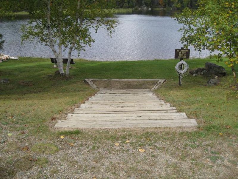
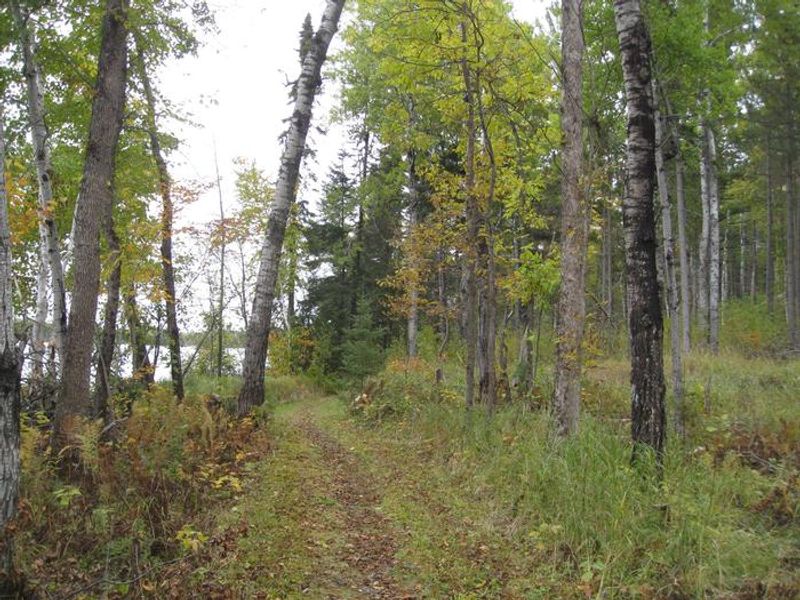
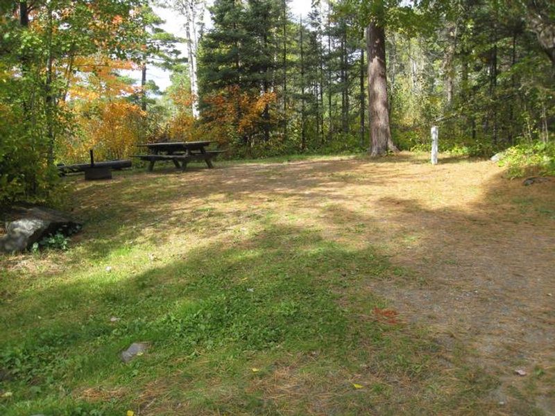
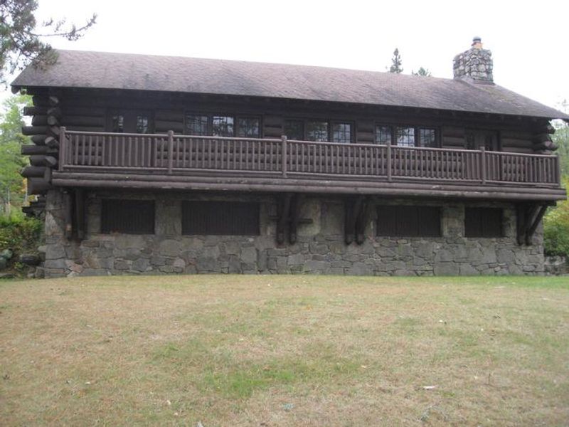
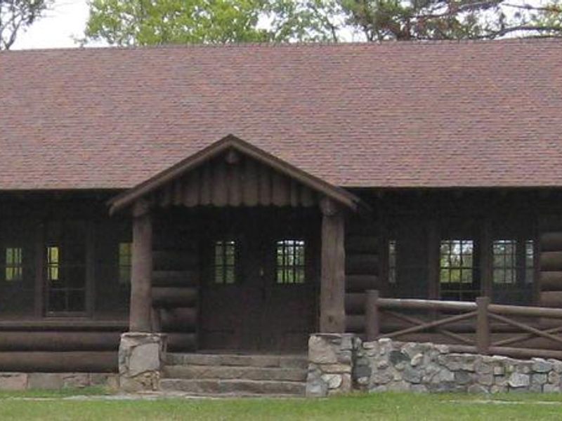
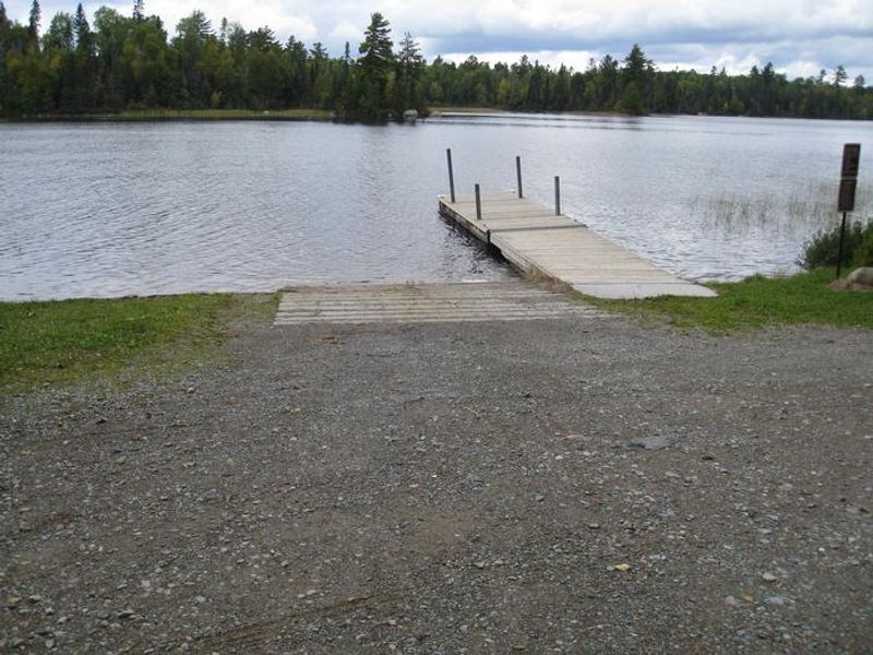
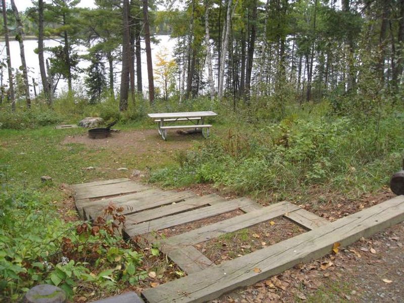
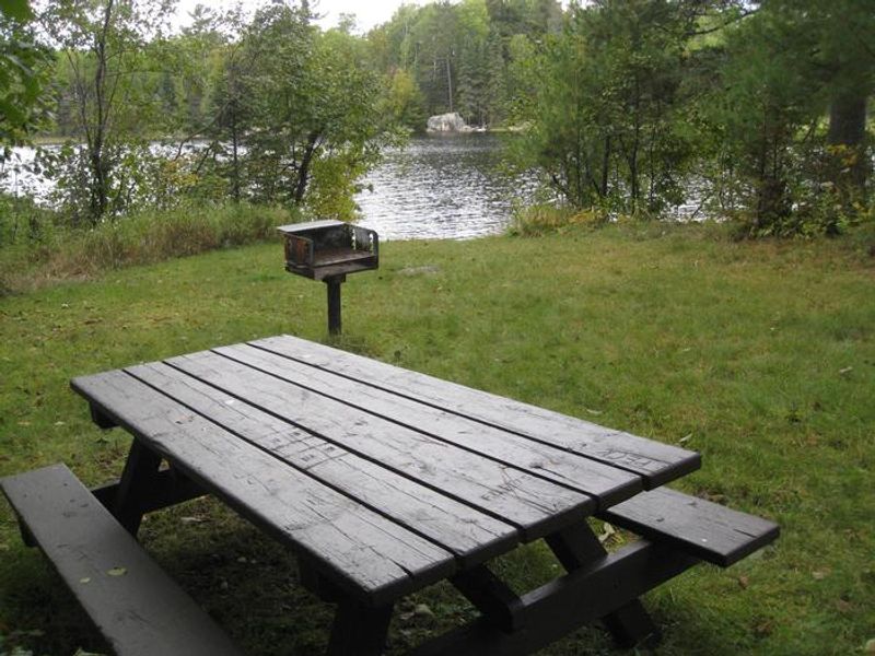
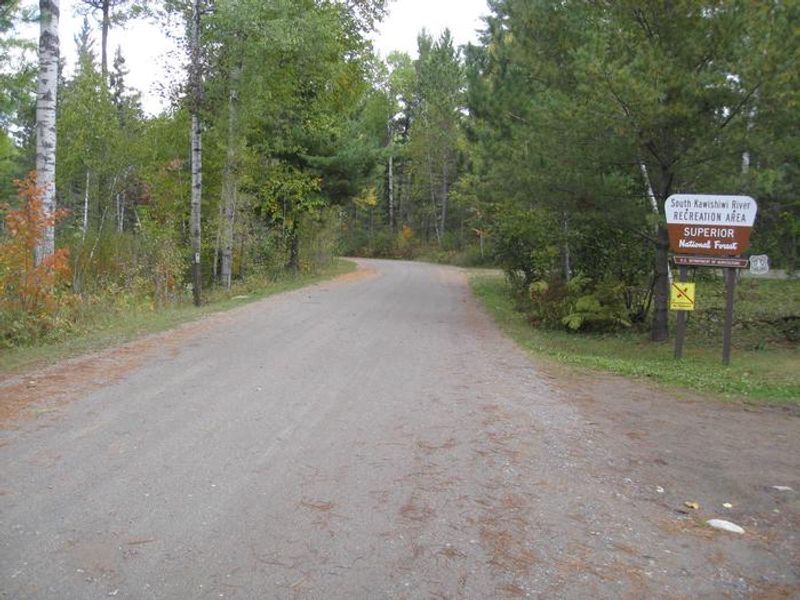
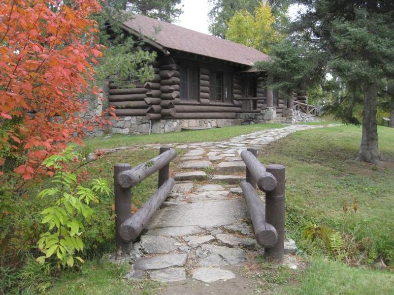
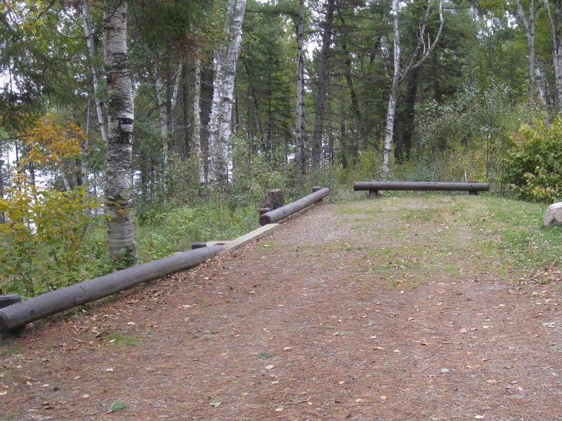
South Kawishiwi River Campground is a scenic destination in Superior National Forest, nestled along the clear, cold waters of the Kawishiwi River about 10 miles south of Ely, Minnesota. The campground serves as a popular staging point for canoe trips into the Boundary Waters Canoe Area Wilderness to the north and Birch Lake to the south. A boat ramp with dock provides easy water access. The campground offers 31 sites in a mixed aspen, birch, and conifer forest setting. Fourteen sites have electric hookups. Each site includes a picnic table and fire ring. Amenities include vault toilets, potable drinking water from solar-powered and hand-pump wells, and trash service. A grassy beach provides swimming access. Firewood is available for purchase from the camp host, who also offers canoe rentals. The historic pavilion, an enclosed log building constructed by the Civilian Conservation Corps in 1933, can be reserved for group gatherings of up to 35 people. Nearby recreation includes the 1-mile Kawishiwi River Forest Trail and fishing for northern pike, perch, and walleye.
Directions
From Ely, Minnesota, travel about 10 miles south on State Highway 1. Turn left onto the campground road.
Amenities
| Water | Yes |
| Fires Allowed | Yes |
| Toilets | Yes |
| Dump Station | — |
| Wifi | — |
| Pets Allowed | Yes |
| Showers | No |
| Electric Hookups | Yes |
| Water Hookups | No |
| Sewer Hookups | No |
| Camp Store | No |
| Price | $22 - $170 |
Vehicle
| Max RV Length | 107ft |
| Max Trailer Length | 107ft |
| Big Rig Friendly | No |
| Pull Through Sites | No |
Contact
| Phone | +1 (218) 365-7600 |
Cell Service
| AT&T | Yes |
| Verizon | Yes |
| T-Mobile | Yes |
Availability
Photos
Community Posts
No posts yet. Be the first to share your experience!