Mcdougal Lake Campground
Open for the 2026 season as of May 8. Potable water is unavailable until May 15 due to lingering freezing temperatures; bring your own supply. Campsites 17 and 19 remain closed due to 2021 Greenwood Fire damage. The McDougal Lake Trail is closed for rehabilitation with no reopening date announced. Season runs through October 1.
From Recreation.gov
Due to lingering freezing temperatures at Tofte Ranger District campgrounds, water will not be available until May 15th and visitors should plan to bring their own supply.
About
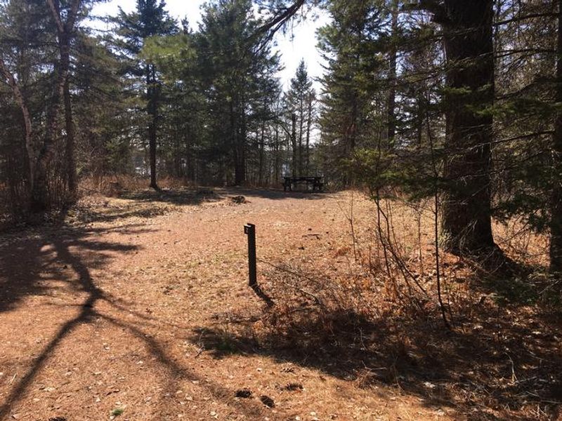
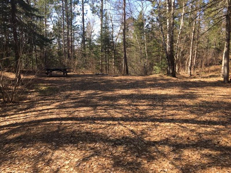
McDougal Lake Campground provides easy access to hiking, boating, fishing, picnicking, and swimming in the heart of Superior National Forest. The 323-acre lake is surrounded by thick forest of birch, maple, and pine at an elevation of 1,800 feet. Wild rice grows within the lake, drawing birds and wildlife to its shores. A sandy swimming beach and boat ramp make this an ideal basecamp for water-based recreation, with good fishing for walleye and northern pike. The campground offers 21 sites total, with 13 first-come, first-served and 8 reservable through Recreation.gov. Sites include both drive-in options suitable for smaller RVs and trailers, as well as hike-in tent sites. Amenities include vault toilets, potable water from a solar-powered pump, trash containers, fire rings, and picnic tables. Sites are back-in only and most accommodate vehicles up to 24 feet. Note that campsites 17 and 19 remain closed due to damage from the 2021 Greenwood Fire, and the one-mile hiking trail is closed for rehabilitation.
Directions
Located on Forest Road 106, 10 miles west of Isabella, Minnesota. From MN-61, turn onto MN-1 at Illgen City and follow to Isabella. Proceed 10 miles west of Isabella to Forest Road 106. Turn left and continue a half-mile to the campground entrance.
Amenities
| Water | No |
| Fires Allowed | Yes |
| Toilets | Yes |
| Dump Station | — |
| Wifi | — |
| Pets Allowed | Yes |
| Showers | No |
| Electric Hookups | — |
| Water Hookups | — |
| Sewer Hookups | — |
| Camp Store | — |
| Price | $18 |
Vehicle
| Max RV Length | 24ft |
| Max Trailer Length | — |
| Big Rig Friendly | No |
| Pull Through Sites | No |
Contact
| Phone | +1 (218) 663-8060 |
Cell Service
| AT&T | Yes |
| Verizon | Yes |
| T-Mobile | None |
Useful Links
| View on Recreation.gov | |
| USFS McDougal Lake Campground |
Availability
Photos
Community Posts
No posts yet. Be the first to share your experience!