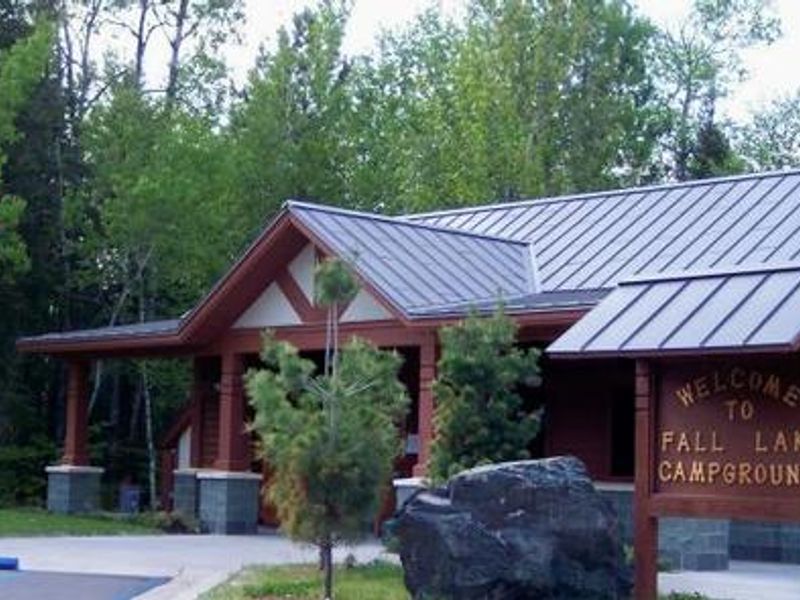
Fall Lake
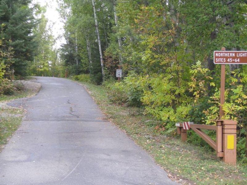
Open for the 2026 season (May 8 through September 26). Of the 64 sites, 44 are reservable through Recreation.gov and 20 are first-come, first-served. Electric hookups available at most sites.
Special Weather Statement issued July 21 at 9:57AM CDT by NWS Duluth MN
Due to continued dry conditions in forested areas and gusty north to northwest winds around 20 to 30 mph today, conditions will remain favorable for near-critical fire weather conditions through this afternoon. This is despite relatively higher minimum RH values expected today at 40 to 50 percent. The situation is evaluated daily by the National Weather Service and the Minnesota Interagency Fire Center. Dry and windy conditions could lead to the rapid spread of fires today. For more information on burning restrictions for Minnesota, see www.dnr.state.mn.us/forestry/fire/firerating_restrictions.html.
About
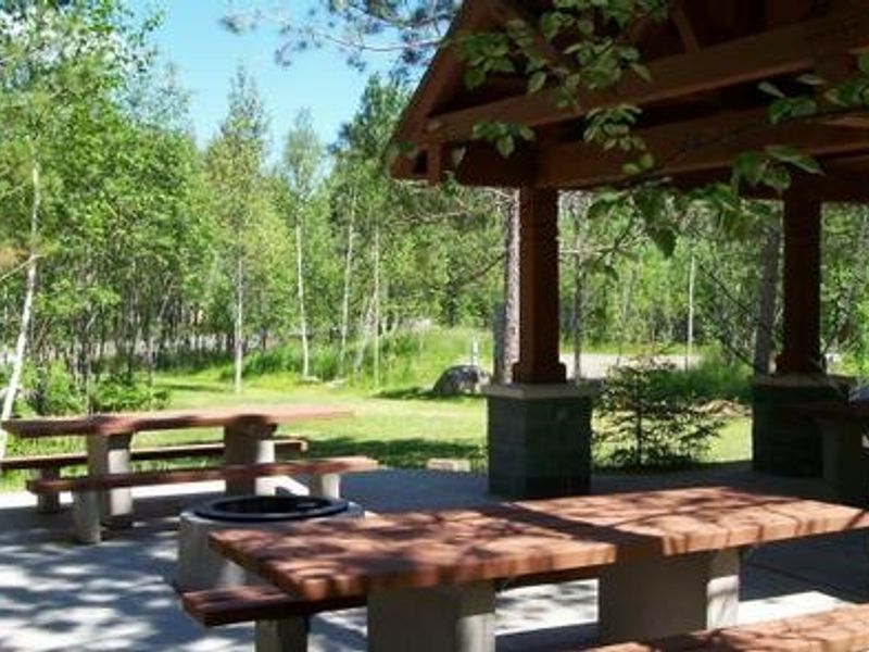
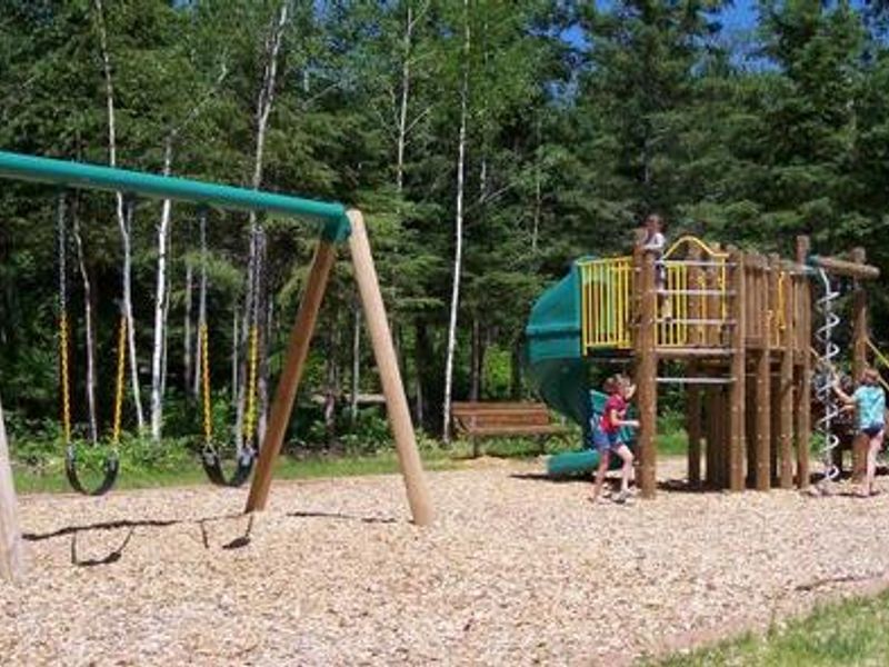
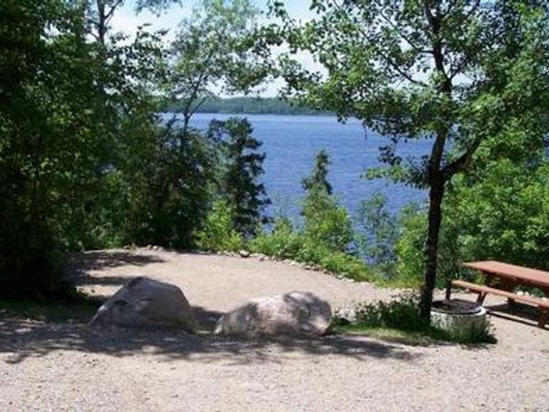
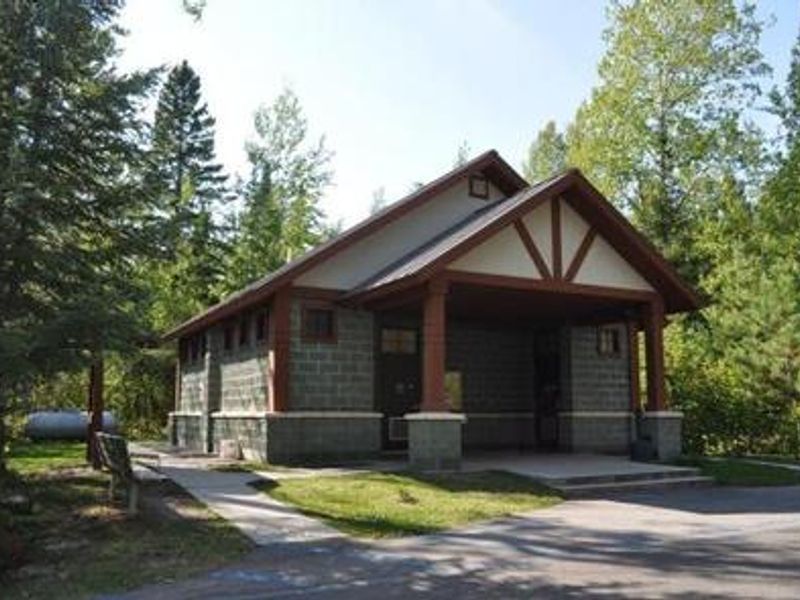
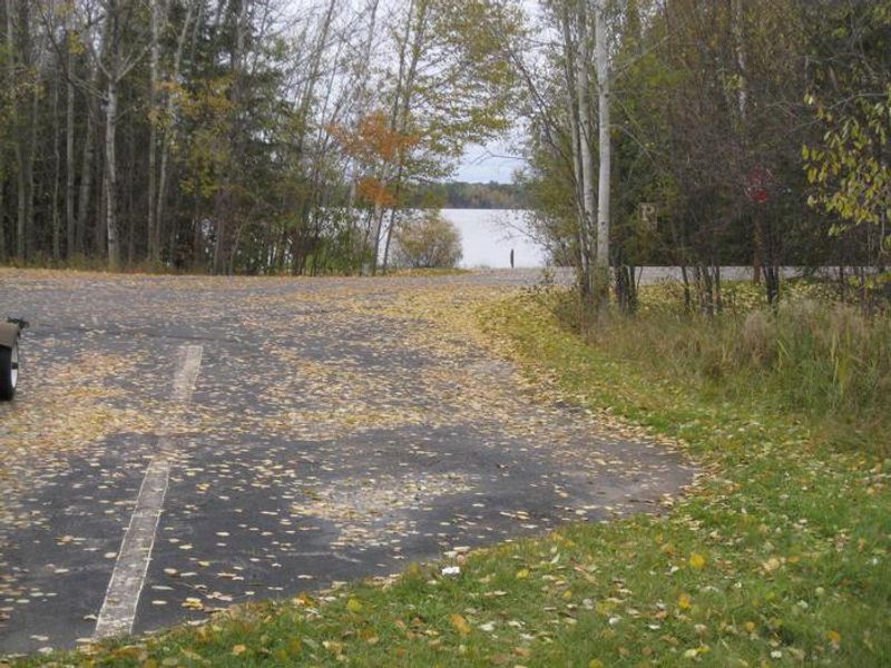
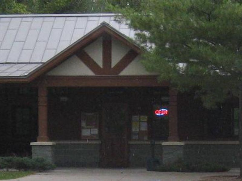
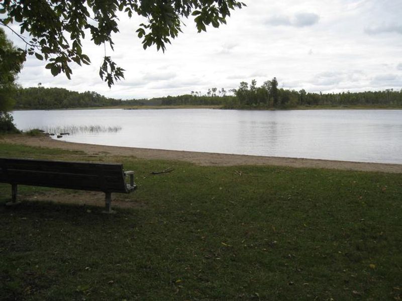
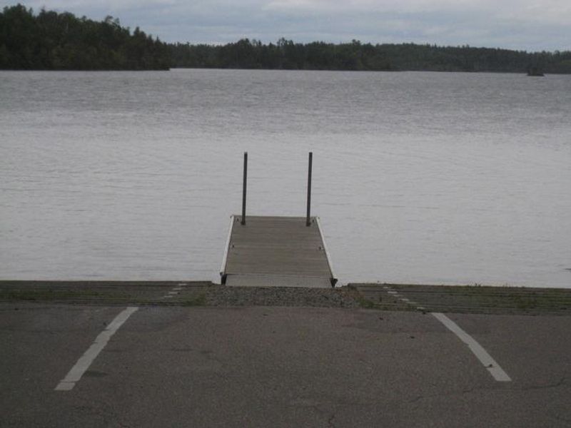
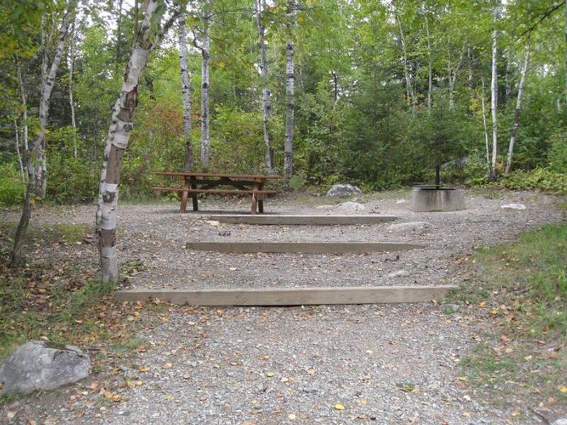
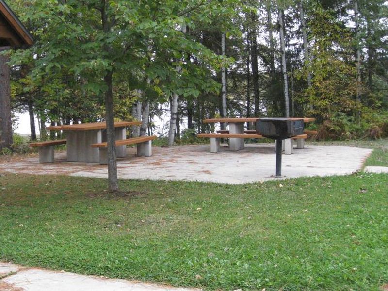
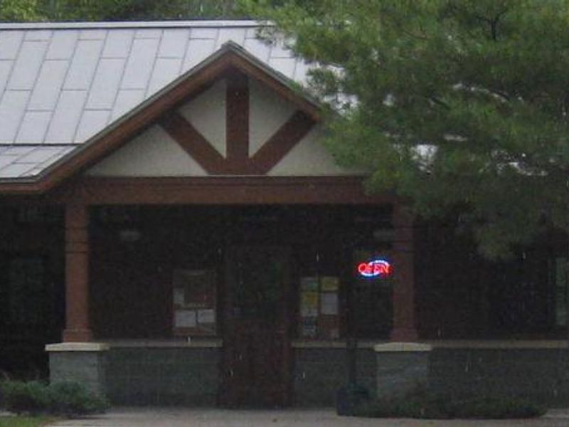
Fall Lake Campground is nestled among pine, aspen, and fir trees on the shore of Fall Lake in Superior National Forest, providing the quintessential northwoods camping experience. The campground features 64 sites, most with electrical hookups (20/30/50 amp service), plus two group sites. Amenities include flush toilets, hot showers, potable water, fire rings, and picnic tables at every site. A concessionaire operates an on-site store offering canoe rentals, firewood, and ice. The campground opens in early May to coincide with walleye fishing season. Anglers target walleye, smallmouth bass, northern pike, crappie, perch, and bluegill. A swimming beach and playground make it family-friendly, while a 1.5-mile hiking trail leads to a viewing platform. The northern portion of Fall Lake lies within the Boundary Waters Canoe Area Wilderness, where permits are required; the southwestern portion remains open to unrestricted boating. Nearby attractions include the Dorothy Molter Museum, International Wolf Center, North American Bear Center, and the historic Soudan Mine. The town of Ely hosts popular events including Fourth of July fireworks, the Blueberry Festival in late July, and the Harvest Moon Festival in mid-September.
Directions
From Ely, go east on Highway 169 for 4.5 miles (becomes County Road 18). Turn left on County Road 182 and continue 1.5 miles to the campground.
Nearby Campgrounds
Amenities
| Water | Yes |
| Fires Allowed | Yes |
| Toilets | Yes |
| Dump Station | — |
| Wifi | — |
| Pets Allowed | Yes |
| Showers | Yes |
| Electric Hookups | Yes |
| Water Hookups | No |
| Sewer Hookups | No |
| Camp Store | Yes |
| Price | $30 - $130 |
Vehicle
| Max RV Length | 40ft |
| Max Trailer Length | 40ft |
| Big Rig Friendly | — |
| Pull Through Sites | No |
Contact
| Phone | +1 (218) 365-7600 |
Cell Service
| AT&T | Yes |
| Verizon | Yes |
| T-Mobile | None |
Availability
Photos

Community Posts
No posts yet. Be the first to share your experience!