Birch Lake Campground
Open for the 2026 season. The campground opened May 8 and operates through September 26. Some sites are reservable via Recreation.gov; others are first-come, first-served. A flood advisory is in effect forest-wide due to high water conditions from spring snowmelt.
Special Weather Statement issued July 21 at 9:57AM CDT by NWS Duluth MN
Due to continued dry conditions in forested areas and gusty north to northwest winds around 20 to 30 mph today, conditions will remain favorable for near-critical fire weather conditions through this afternoon. This is despite relatively higher minimum RH values expected today at 40 to 50 percent. The situation is evaluated daily by the National Weather Service and the Minnesota Interagency Fire Center. Dry and windy conditions could lead to the rapid spread of fires today. For more information on burning restrictions for Minnesota, see www.dnr.state.mn.us/forestry/fire/firerating_restrictions.html.
About
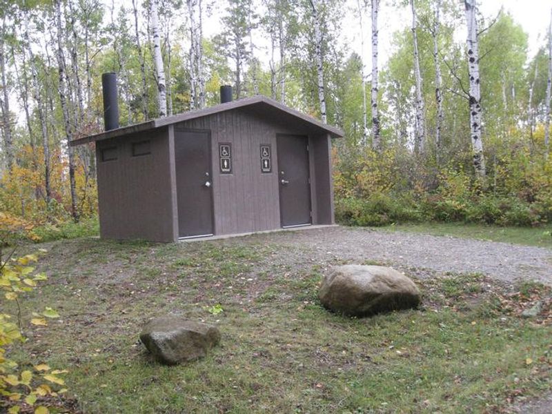
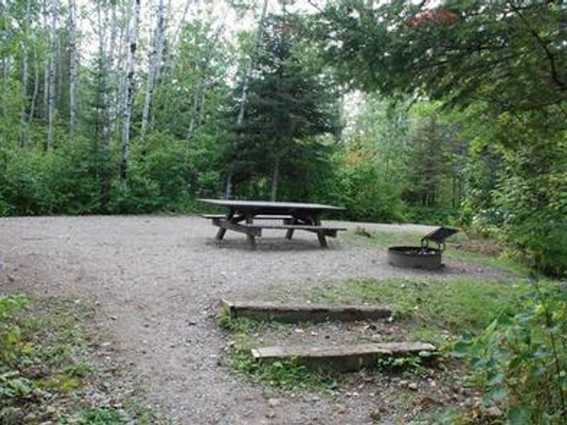
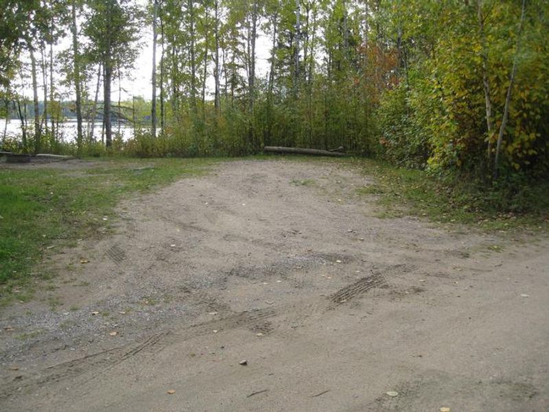
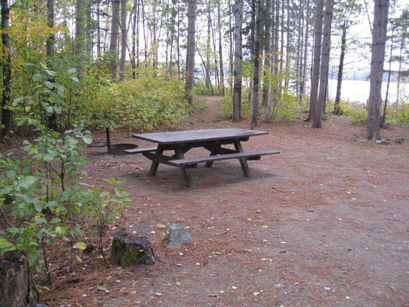
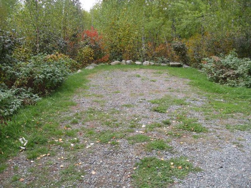
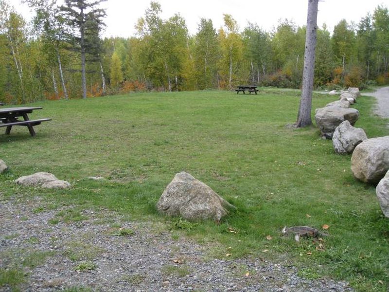
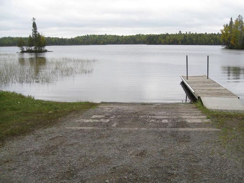
Birch Lake Campground is located in Superior National Forest approximately 13 miles southeast of Ely, Minnesota, near the Boundary Waters Canoe Area Wilderness. The campground occupies a scenic position on Birch Lake, a 7,628-acre reservoir with 80 miles of shoreline and many islands. Sites are shaded by aspen and birch forest and arranged in two loops, with the north loop containing a group site for up to 45 people and the south loop featuring two rental cabins. Each campsite includes a picnic table, tent pad, and campfire ring with grill. Vault toilets and potable water from solar-powered and hand-pump wells are provided. Firewood is available for purchase. The two cabins (Popple and Tamarack) are two-room structures with bunk beds sleeping four in the back bedroom and a futon in the main area; they include a heater but no electricity, running water, or indoor kitchen. Fishing is the primary draw, with walleye, northern pike, smallmouth bass, bluegill, perch, and crappie available. A boat ramp provides access to the lake, which has no horsepower restrictions. Many sites have space to beach a boat. Fourteen backcountry campsites are scattered across Birch Lake for paddlers seeking more solitude.
Directions
From Ely, travel about 8 miles south on State Highway 1. Turn right on Forest Road 429 (Little Lake Road) and continue 4 miles on gravel to the campground entrance road. Turn left and continue 1 mile to the campground.
Amenities
| Water | Yes |
| Fires Allowed | Yes |
| Toilets | Yes |
| Dump Station | No |
| Wifi | No |
| Pets Allowed | Yes |
| Showers | No |
| Electric Hookups | — |
| Water Hookups | — |
| Sewer Hookups | — |
| Camp Store | No |
| Price | $21 - $95 |
Vehicle
| Max RV Length | 66ft |
| Max Trailer Length | 66ft |
| Big Rig Friendly | No |
| Pull Through Sites | No |
Contact
| Phone | +1 (218) 365-7600 |
Cell Service
| AT&T | Yes |
| Verizon | Yes |
| T-Mobile | None |
Availability
Photos


Community Posts
No posts yet. Be the first to share your experience!