Snowbank Campground
Open for the 2026 season. The campground operates from mid-May through late September. Reservations available through Recreation.gov; some sites available first-come, first-served.
Winter Storm Warning issued October 10 at 12:53AM MDT until October 12 at 12:00PM MDT by NWS Billings MT
* WHAT...Periods of heavy snow and blowing snow expected. Total snow accumulations between 10 and 18 inches, greatest above 8000 feet. Winds gusting as high as 35 mph. * WHERE...Absaroka/Beartooth Mountains and Crazy Mountains. * WHEN...From 6 PM this evening to noon MDT Monday. * IMPACTS...Recreation in the high country will be impacted by severe winter conditions. Travel into Cooke City will be impacted.
About
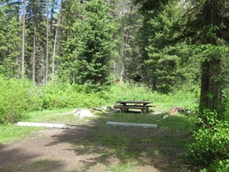
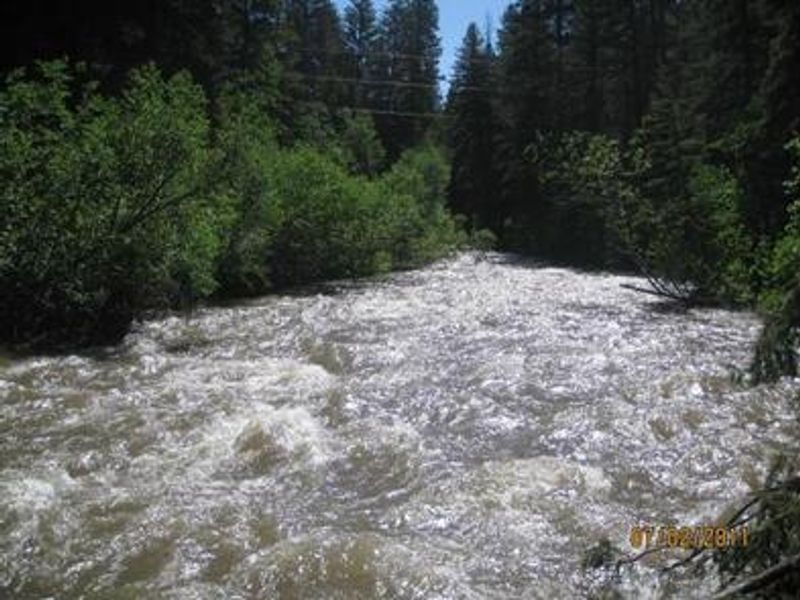
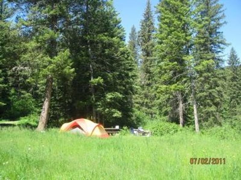
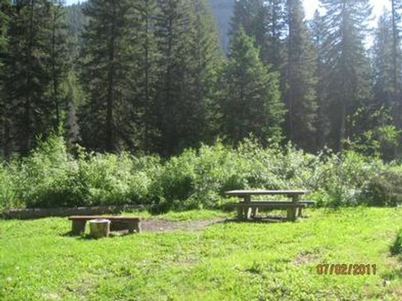
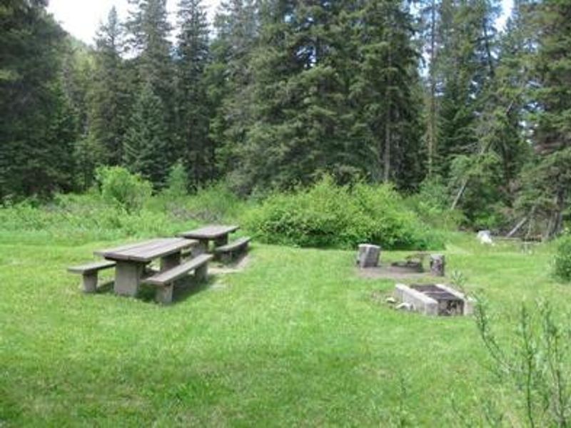
Snowbank Campground is nestled on the banks of Mill Creek, approximately 29 miles south of Livingston in the Custer Gallatin National Forest. The campground sits near the western edge of the Absaroka-Beartooth Wilderness, surrounded by a scenic forest of mature spruce and fir trees with thimbleberry and raspberry bushes dotting the forest floor. The campground features 11 individual sites plus one group area accommodating up to 25 people. Each site includes a picnic table and fire ring, with vault toilets and potable water available. Sites are not recommended for RVs over 30 feet due to the 14' x 30' average parking spur dimensions. Mill Creek offers anglers the opportunity to fish for whitefish, rainbow, brown, and cutthroat trout. Several hiking trailheads near the campground provide wilderness access into the Absaroka Range, with the 6.3-mile Wicked Ridge Trail beginning just outside the campground entrance. Off-road vehicle and bike trails also crisscross the surrounding area.
Directions
From Livingston, travel south on Highway 89 for 16 miles to Mill Creek Road/Forest Road 486 (Pray turnoff). Turn left (east) onto Mill Creek Road, cross East River Road (Highway 540), and continue east for 11 miles to the campground. From Gardiner, take Highway 89 north for 36 miles to Mill Creek Road, turn right, and continue 11 miles east.
Location
Amenities
| Water | Yes |
| Fires Allowed | Yes |
| Toilets | Yes |
| Dump Station | No |
| Wifi | No |
| Pets Allowed | — |
| Showers | No |
| Electric Hookups | — |
| Water Hookups | — |
| Sewer Hookups | — |
| Camp Store | No |
| Price | $26 - $60 |
Vehicle
| Max RV Length | 30ft |
| Max Trailer Length | — |
| Big Rig Friendly | No |
| Pull Through Sites | No |
Contact
| Phone | +1 (406) 522-2520 |
Cell Service
| AT&T | None |
| Verizon | None |
| T-Mobile | None |
Availability
Photos
Community Posts
No posts yet. Be the first to share your experience!