Sharp Creek
Open for the season through October. Stage 1 fire restrictions are currently in effect with very high fire danger. Nineteen sites are reservable via Recreation.gov; nine sites are first-come, first-served. No firewood sales on site. Payment at the digital fee machine accepts card only.
Lower Sycamore Temporary Target Shooting Prohibition Order For Public Health and Safety
A temporary target shooting closure order for Lower Sycamore on Saturday, Oct. 17, to protect the safety of participants in a volunteer cleanup event within the area.
State Route 260 Lion Springs Construction Site Public Health and Safety Closure Order
Closure order due to construction activities associated with the SR260 Lion Springs Project conducted byArizona Department of Transportation on the Tonto National Forest.
Horseshoe Dam Road (NFSR 205) Emergency Closure for Public Safety
Closure Order to implement repairs and improvements to the Horseshoe Dam Road previously damaged by severe flooding.
About
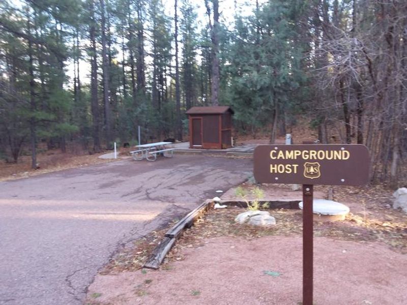
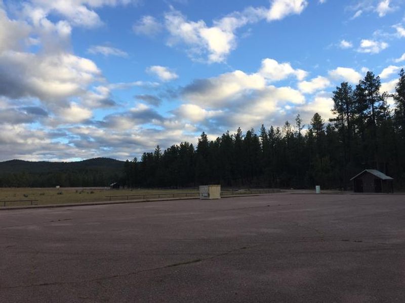
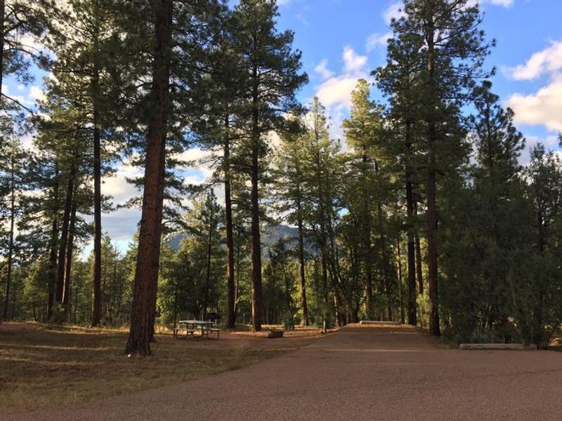
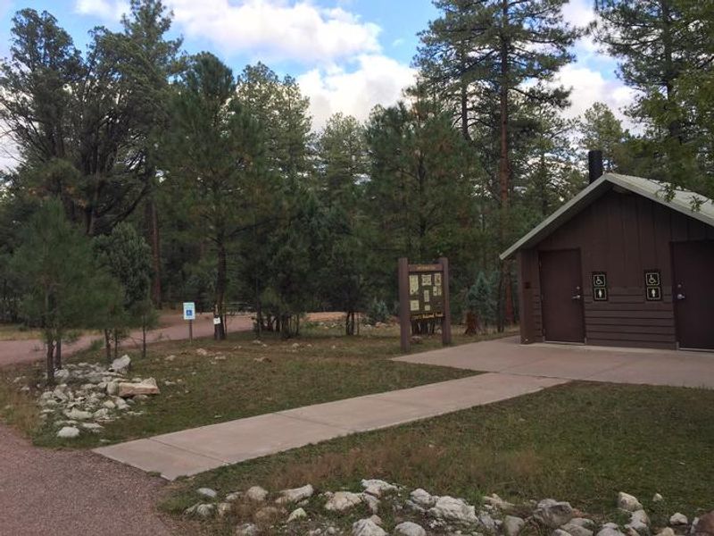
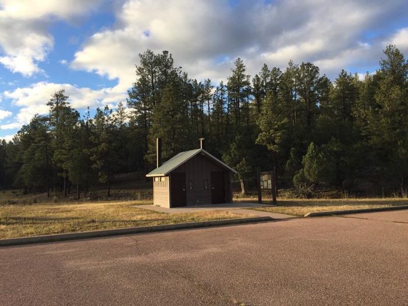
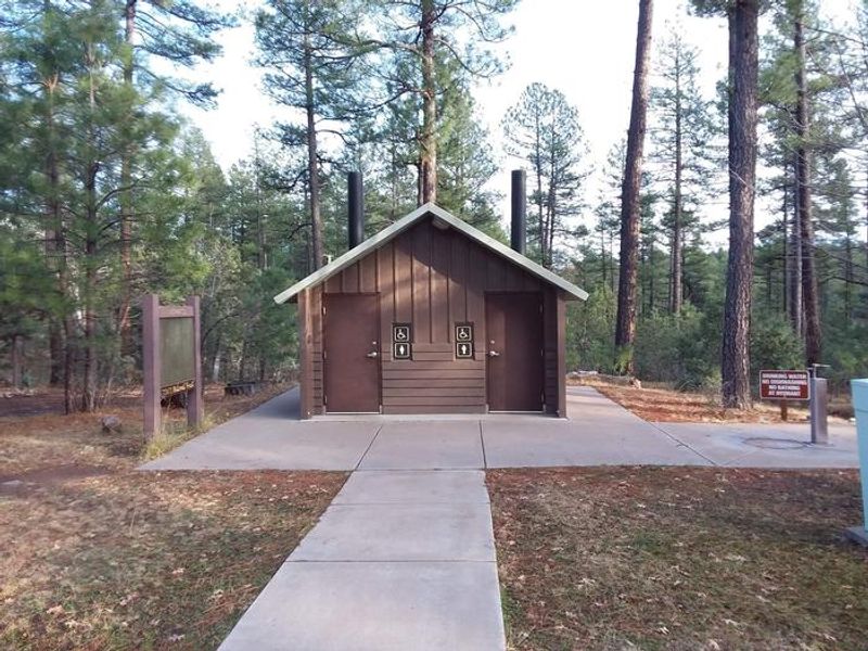
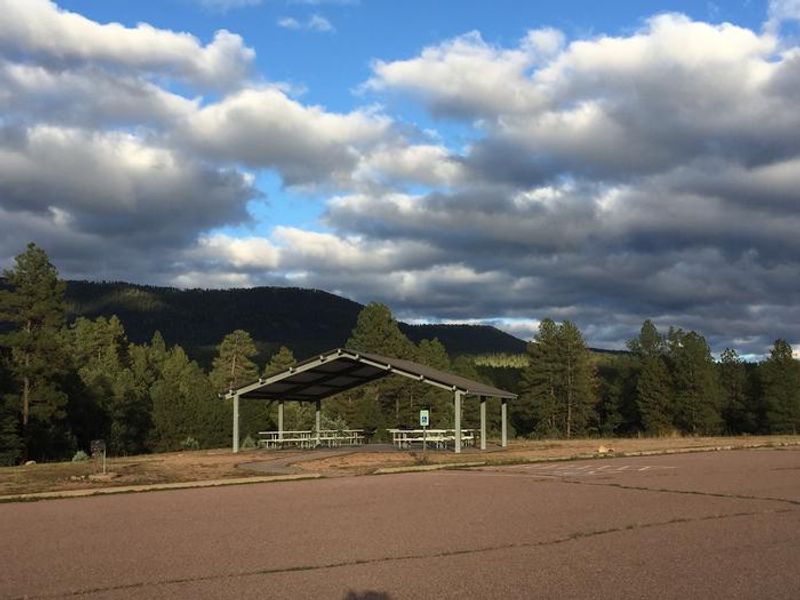
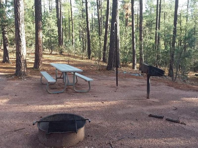
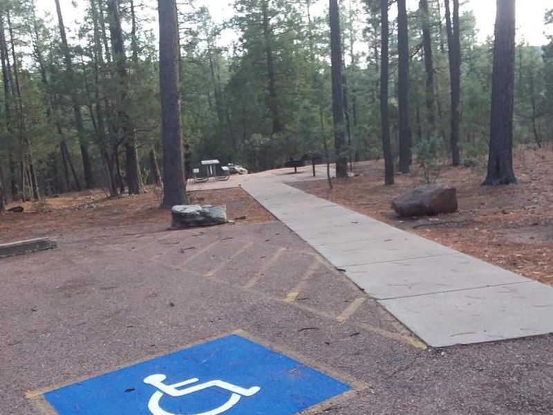
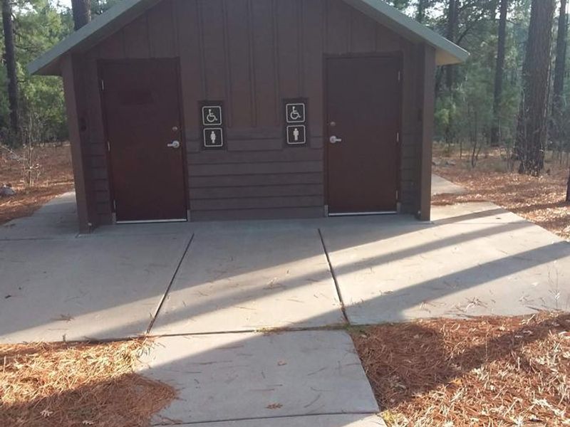
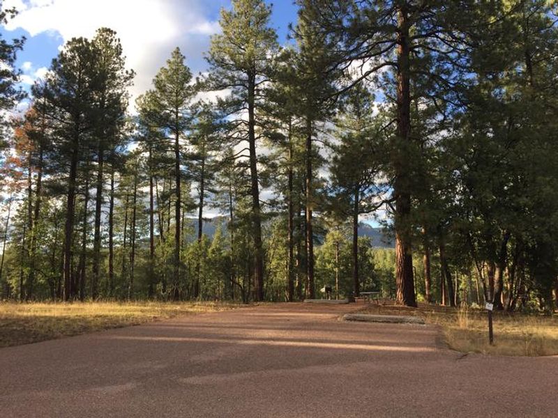
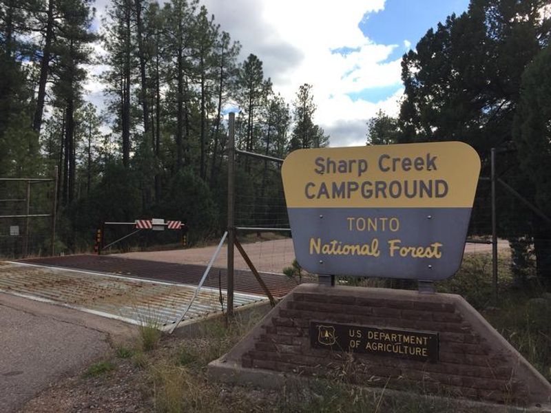
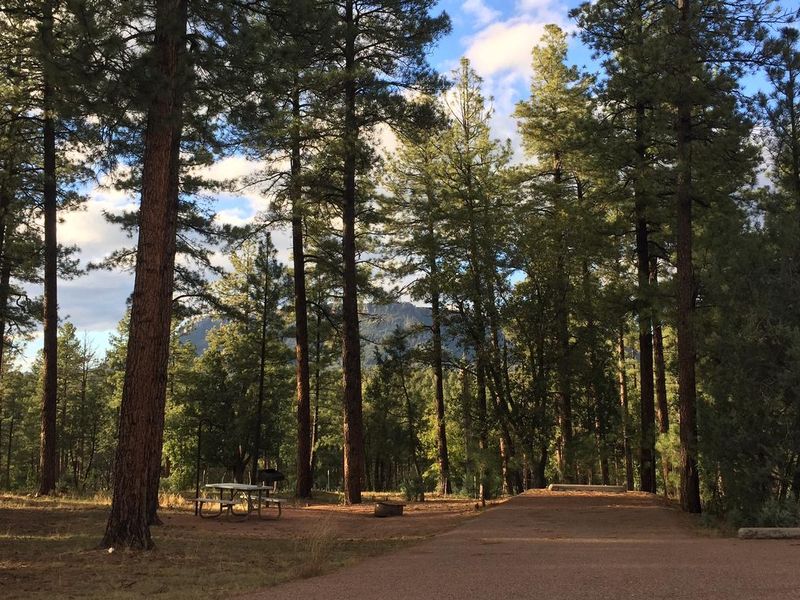
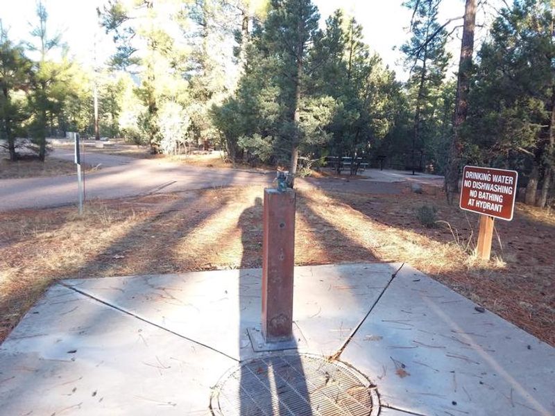
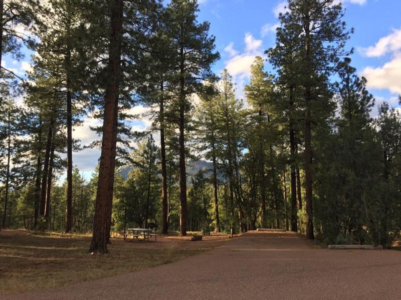
Sharp Creek Campground offers a forested retreat at 6,000 feet elevation in the Tonto National Forest, nestled beneath the dramatic Mogollon Rim. The campground is surrounded by ponderosa pines and provides welcome relief from southern Arizona's desert heat. Located 23 miles northeast of Payson and 1.5 miles east of Christopher Creek, the area serves as an excellent basecamp for exploring the high country. The campground has 28 family campsites spread across three loops, with a mix of back-in and pull-through sites suitable for tents and RVs. Each site includes a picnic table, fire ring, grill, and lantern holder. Three group sites can each accommodate up to 75 people and feature dedicated vault restrooms and paved parking. Potable water is available from hand pumps in each loop. ADA-accessible sites with hardened surfaces are available. Recreation options abound. Christopher Creek offers trout fishing less than a mile away. The historic Highline National Recreation Trail runs 51 miles along the base of the Mogollon Rim, accessible from the 260 Trailhead about 3 miles east. Woods Canyon and Willow Springs Lakes are a 10-minute drive above the rim for additional fishing and boating.
Directions
From Payson, take Highway 260 east for 23 miles. The campground is on the south side of Highway 260, approximately 1.5 miles east of Christopher Creek.
Amenities
| Water | Yes |
| Fires Allowed | Yes |
| Toilets | Yes |
| Dump Station | No |
| Wifi | No |
| Pets Allowed | Yes |
| Showers | No |
| Electric Hookups | — |
| Water Hookups | — |
| Sewer Hookups | — |
| Camp Store | No |
| Price | $29 - $150 |
Vehicle
| Max RV Length | — |
| Max Trailer Length | — |
| Big Rig Friendly | — |
| Pull Through Sites | No |
Contact
| Phone | +1 (928) 474-7900 |
Cell Service
| AT&T | Yes |
| Verizon | Yes |
| T-Mobile | Yes |
Availability
Photos
Community Posts
No posts yet. Be the first to share your experience!