USA 250 Shirt →
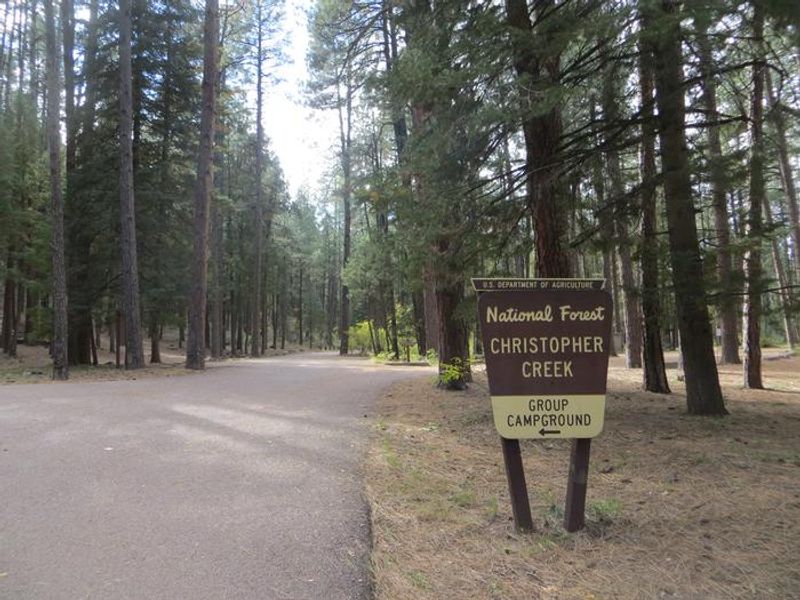
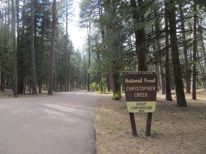
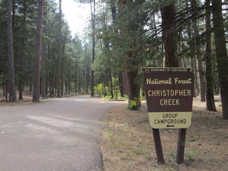
Christopher Creek Campground Entrance Sign

Christopher Creek Campground

Open

Open for the 2026 season. Operating season runs April through October. Most sites are reservable via Recreation.gov; a few sites are first-come-first-served with on-site payment. 14-day stay limit.

Flash Flood Warning issued July 20 at 8:05PM MST until July 20 at 11:00PM MST by NWS Flagstaff AZ

8:05 PM — 11:00 PM

FFWFGZ The National Weather Service in Flagstaff has issued a * Flash Flood Warning for... Gila County in east central Arizona... * Until 1100 PM MST. * At 805 PM MST, Doppler radar indicated thunderstorms producing heavy rain across the warned area. Between 1 and 2 inches of rain have fallen. Additional rainfall amounts of 0.5 to 1 inch are possible in the warned area. Flash flooding is ongoing or expected to begin shortly. HAZARD...Life threatening flash flooding. Thunderstorms producing flash flooding. SOURCE...Radar indicated. IMPACT...Life threatening flash flooding of creeks and streams, normally dry washes, urban areas, highways, streets and underpasses. * Some locations that will experience flash flooding include... Oxbow Estates, Rye and Deer Creek. This includes the following highways... State Route 87 southbound between mile markers 241 and 248. This includes the following creeks, washes and rivers... Wet Bottom Creek and North Fork Deadman Creek.

Flood Watch issued July 20 at 7:50PM MST until July 21 at 10:00PM MST by NWS Flagstaff AZ

7:50 PM — July 21st, 10:00 PM

* WHAT...Flash flooding caused by excessive rainfall continues to be possible. * WHERE...Portions of east central, north central, northeast, and west central Arizona, including the following areas, in east central Arizona, Northern Gila County. In north central Arizona, Black Mesa Area, Coconino Plateau, Eastern Mogollon Rim, Grand Canyon Country, Kaibab Plateau, Little Colorado River Valley in Coconino County, Marble and Glen Canyons, Northeast Plateaus and Mesas Hwy 264 Northward, Northeast Plateaus and Mesas South of Hwy 264 and Western Mogollon Rim. In northeast Arizona, Little Colorado River Valley in Apache County, Little Colorado River Valley in Navajo County and White Mountains. In west central Arizona, Yavapai County Mountains. * WHEN...From Tuesday morning through Tuesday evening. * IMPACTS...Flash flooding will be possible in creeks, normally dry washes, swimming holes, and over recently burned areas. Raging killer currents will be possible in side canyons and narrow slot canyons. Low-water crossings may be flooded. * ADDITIONAL DETAILS... - Deep monsoon moisture in place across northern Arizona will lead to storms capable of producing rainfall in excess of 2 inches per hour, resulting in an enhanced risk of flash flooding. - Additional information is available at weather.gov/flagstaff.

Flash Flood Warning issued July 20 at 7:00PM MST until July 20 at 10:00PM MST by NWS Flagstaff AZ

7:00 PM — 10:00 PM

FFWFGZ The National Weather Service in Flagstaff has issued a * Flash Flood Warning for... Gila County in east central Arizona... * Until 1000 PM MST. * At 700 PM MST, Doppler radar indicated thunderstorms producing heavy rain across the warned area. Between 0.75 and 1.75 inches of rain have fallen. Additional rainfall amounts of 0.5 to 1 inch are possible in the warned area. Flash flooding is ongoing or expected to begin shortly. HAZARD...Life threatening flash flooding. Thunderstorms producing flash flooding. SOURCE...Radar indicated. IMPACT...Life threatening flash flooding of creeks and streams, normally dry washes and roads. * Some locations that will experience flash flooding include... Star Valley, Gisela, Tonto Village, Tonto Creek, Christopher Creek, Hunter Creek, Kohls Ranch, Jakes Corner, Mead Ranch, Haigler Creek, Colcord Mountain Estates, Bear Flat, Sleepy Hollow and Hellsgate Wilderness. This includes the following highways... State Route 260 between mile markers 259 and 277. State Route 188 between mile markers 270 and 273. This includes the following recreation areas and campgrounds... Upper Tonto Creek Campground, Sharp Creek Campground, Ponderosa Campground, Christopher Creek Campground, Haigler Canyon Campground and Alderwood Campground. This includes the following swimming holes... Tonto Creek Waterfalls.

About

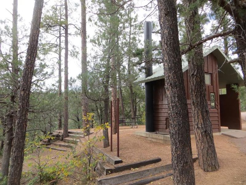
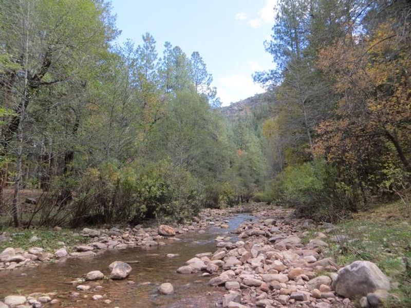
Christopher Creek Campground is one of the most popular developed campgrounds on the Payson Ranger District, nestled along both sides of a spring-fed creek that flows below the Mogollon Rim. At 5,640 feet elevation, the campground provides relief from Arizona's desert heat while remaining accessible from the Phoenix metro area. The 43 individual sites and one group site are surrounded by ponderosa pines, junipers, oaks, and manzanita shrubs. The creek is stocked with rainbow trout each spring, and anglers can also find brook and brown trout. Three swimming holes provide refreshing spots after hiking, mountain biking, or horseback riding in the area. Woods Canyon Lake and other Rim Country Lakes are about a 10-minute drive east, offering additional boating and fishing opportunities. The campground operates April through October. Most sites are reservable through Recreation.gov with reservations required at least 3 days in advance. A few first-come-first-served sites are available with payment at the on-site digital fee machine. The small town of Christopher Creek is a short drive away with restaurant options.

Directions

From Payson, Arizona, take Highway 260 east for 21 miles to the Christopher Creek Campground turnoff. Take Forest Road for 1/4 mile to the campground.

Amenities

Water Yes
Fires Allowed Yes
Toilets Yes
Dump Station No
Wifi
Pets Allowed Yes
Showers
Electric Hookups
Water Hookups
Sewer Hookups
Camp Store No
Price $24 - $80

Vehicle

Max RV Length 22ft
Max Trailer Length 22ft
Big Rig Friendly
Pull Through Sites No

Contact

Phone +1 (928) 474-7900

Cell Service

AT&T None
Verizon Yes
T-Mobile Yes

Availability

Photos

Christopher Creek Campground Entrance Sign
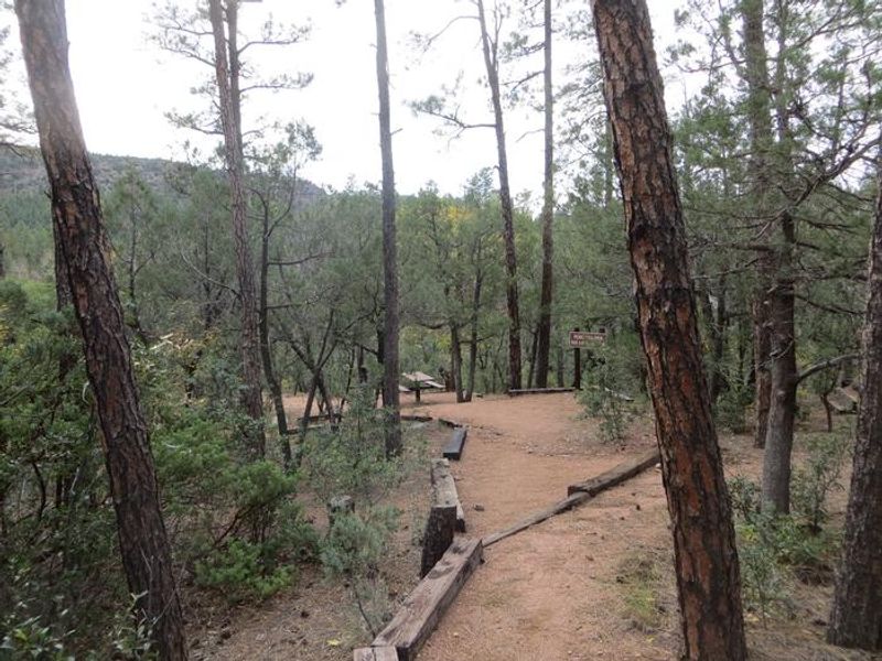
Christopher Creek Campground picnic area
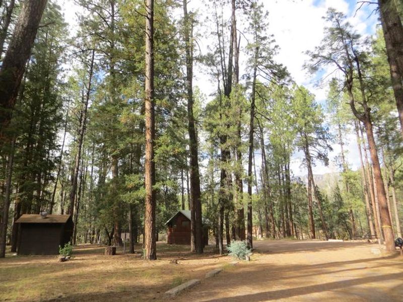
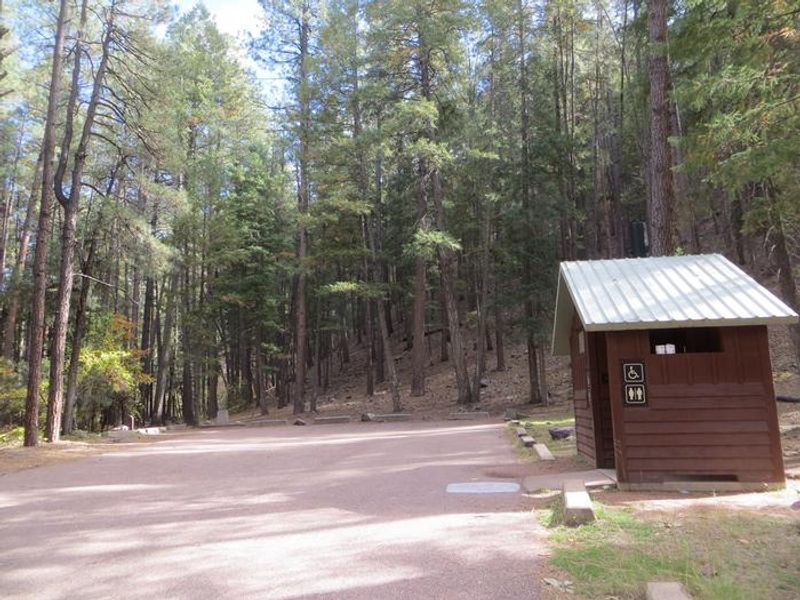
Christopher Creek Campground views of tall pines and restroom building.
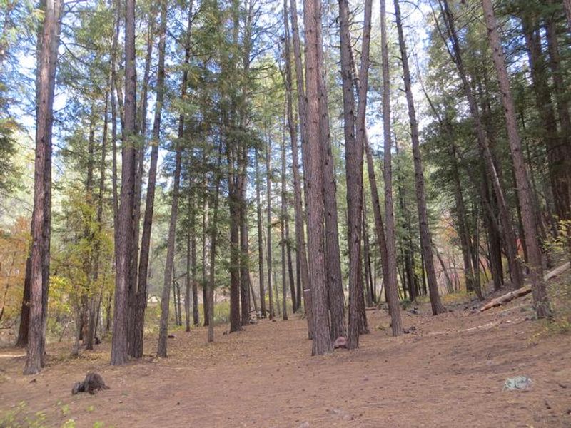
Christopher Creek Campground group site camping space.
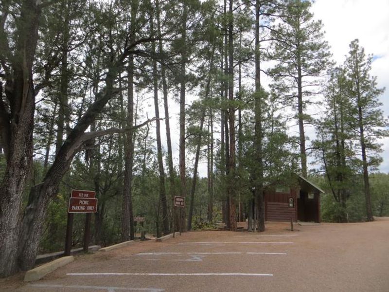
Christopher Creek Campground group site parking and restroom.
Christopher Creek Campground picnic area with restroom building.
Christopher Creek Entrance Sign
Christopher Creek Campground Entrance Sign
Christopher Creek Campground Restroom
Christopher Creek

Community Posts

No posts yet. Be the first to share your experience!