Secesh Campground
Open for camping on a first-come, first-served basis. No reservations accepted. Payment may be completed on-site via QR code using the Recreation.gov mobile app; download the app before arrival as cell service is limited.
Weed Free Hay Order 04-2021-03
Prohibited by this order: Possessing, storing, or transporting non-pelletized hay, straw, or mulch in the Intermountain Region, unless it is certified as weed free by the state where the product originated.
Fireworks and Spark Arrestor Order 04-2021-01
Prohibited by this order: Possessing, discharging, or using any kind of firework or other pyrotechnic device. 36 CFR §261.52(t)Operating or using any internal or external combustion engine without a spark arresting device properly installed, maintained and in effective working order as described…
Explosives and Exploding Target Order 04-2021-02
This order prohibits the use of explosives and exploding targets on National Forest System lands within the Intermountain Region.
About
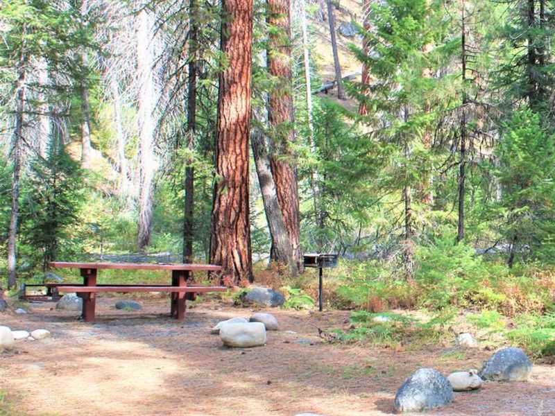
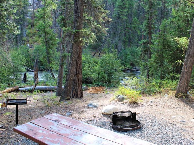
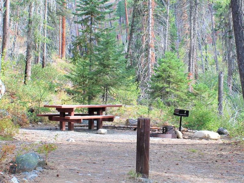
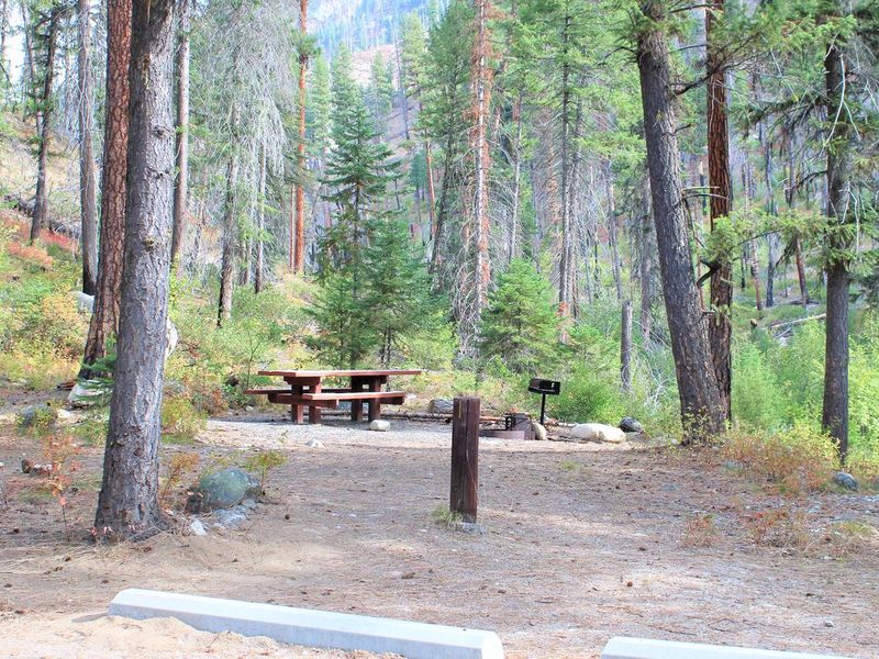
Secesh Campground sits at 4,250 feet elevation in a beautiful forested setting along the Secesh River in Idaho's Payette National Forest. This primitive four-site campground offers a quiet basecamp for fishing, horseback riding, and backcountry exploration. Each site includes a picnic table and fire ring, and hitching rails are available for those traveling with stock. The campground provides vault toilets but no potable water; campers must bring their own water supply or treat water from the river. There are no trash receptacles, so pack out all garbage. The Secesh River Trail #080 trailhead is located adjacent to the campground, providing access to backcountry hiking and horseback riding opportunities. All sites operate on a first-come, first-served basis at $10 per night. The campground is accessed via Lick Creek Road #48, approximately 31 miles northeast of McCall. Dogs are welcome but must be kept on leash.
Directions
31 miles northeast of McCall via Lick Creek Road #48.
Location
Amenities
| Water | No |
| Fires Allowed | Yes |
| Toilets | Yes |
| Dump Station | No |
| Wifi | No |
| Pets Allowed | Yes |
| Showers | No |
| Electric Hookups | — |
| Water Hookups | — |
| Sewer Hookups | — |
| Camp Store | No |
| Price | $10 |
Vehicle
| Max RV Length | — |
| Max Trailer Length | — |
| Big Rig Friendly | — |
| Pull Through Sites | No |
Contact
| Phone | +1 (208) 634-0600 |
Cell Service
| AT&T | None |
| Verizon | None |
| T-Mobile | None |
Useful Links
| View on Recreation.gov | |
| USFS Secesh Campground |
Availability
Photos
Community Posts
No posts yet. Be the first to share your experience!