Ponderosa
Open for the season on a first-come first-served basis. As of early May 2026, the drinking water system is not yet operational for the season; bring your own water. Lick Creek Pass access from McCall typically becomes snow-free by July. Check-in 2:00 p.m., check-out 11:00 a.m.
Weed Free Hay Order 04-2021-03
Prohibited by this order: Possessing, storing, or transporting non-pelletized hay, straw, or mulch in the Intermountain Region, unless it is certified as weed free by the state where the product originated.
Fireworks and Spark Arrestor Order 04-2021-01
Prohibited by this order: Possessing, discharging, or using any kind of firework or other pyrotechnic device. 36 CFR §261.52(t)Operating or using any internal or external combustion engine without a spark arresting device properly installed, maintained and in effective working order as described…
Explosives and Exploding Target Order 04-2021-02
This order prohibits the use of explosives and exploding targets on National Forest System lands within the Intermountain Region.
About
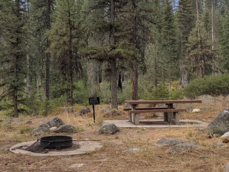
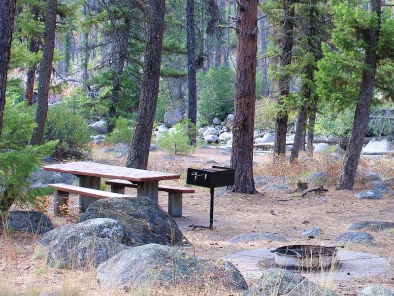
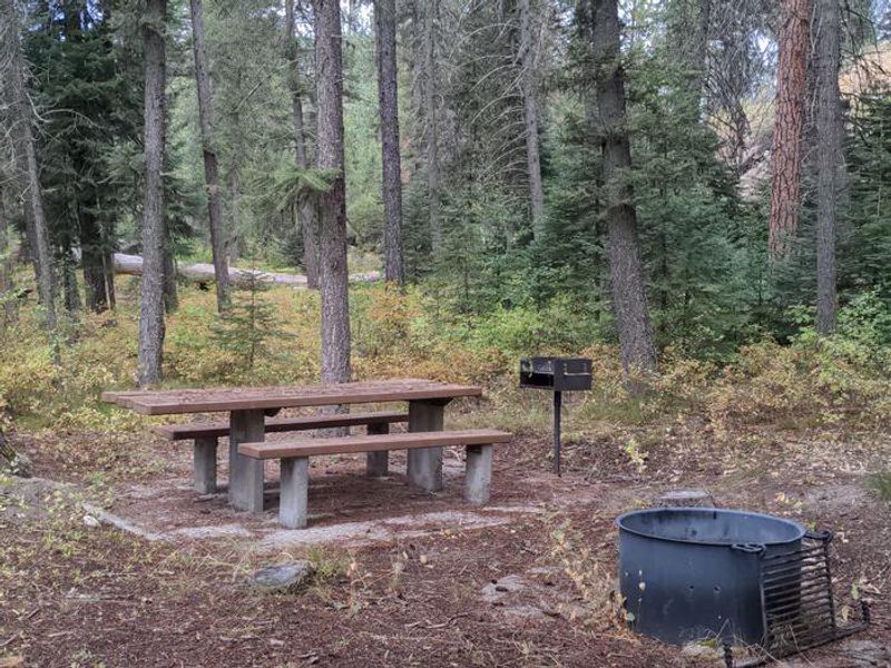
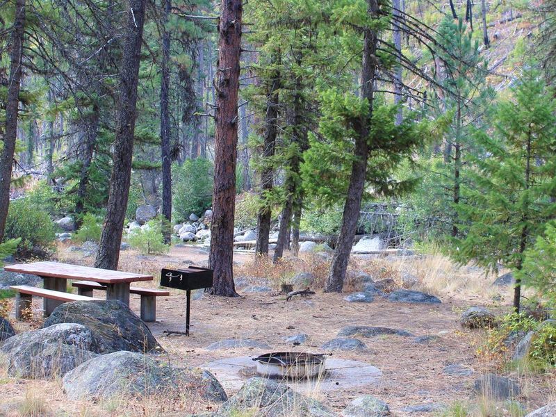
Ponderosa Campground is a quiet, primitive campground located along the banks of the Secesh River in the Payette National Forest. The 11 campsites offer scenic river views and serve as a base for fishing the Secesh River and exploring nearby trails. The Secesh River Trail #080 trailhead is located just across the road by the Secesh Bridge, providing hiking access along the river corridor. Facilities are basic but functional: vault toilets, drinking water from a hand pump (when seasonal water systems are operational), fire pits, and picnic tables. There are no hookups or dump stations. Campers must pack out all trash. The campground operates on a first-come first-served basis with no advance reservations. Payment can be made on-site via the Recreation.gov Scan and Pay feature. Access is via Lick Creek Road #48 from McCall (31 miles). Lick Creek Pass is typically snow-free by July. The South Fork Road provides an alternative route from Cascade. Note that South Fork Road is a narrow, paved one-lane road with two-way traffic and many blind corners.
Directions
From McCall, travel 31 miles northeast on Lick Creek Road #48. Alternative access from Cascade via Warm Lake Highway to South Fork Road (FS Rd #674), approximately 30 miles. Note: South Fork Road is a narrow, paved one-lane road with two-way traffic and many blind corners.
Location
Amenities
| Water | Yes |
| Fires Allowed | Yes |
| Toilets | Yes |
| Dump Station | No |
| Wifi | No |
| Pets Allowed | Yes |
| Showers | No |
| Electric Hookups | — |
| Water Hookups | — |
| Sewer Hookups | — |
| Camp Store | No |
| Price | $10 |
Vehicle
| Max RV Length | — |
| Max Trailer Length | — |
| Big Rig Friendly | No |
| Pull Through Sites | No |
Contact
| Phone | +1 (208) 634-0600 |
Cell Service
| AT&T | None |
| Verizon | None |
| T-Mobile | None |
Useful Links
| View on Recreation.gov | |
| Payette NF - Ponderosa Campground |
Availability
Photos
Community Posts
No posts yet. Be the first to share your experience!