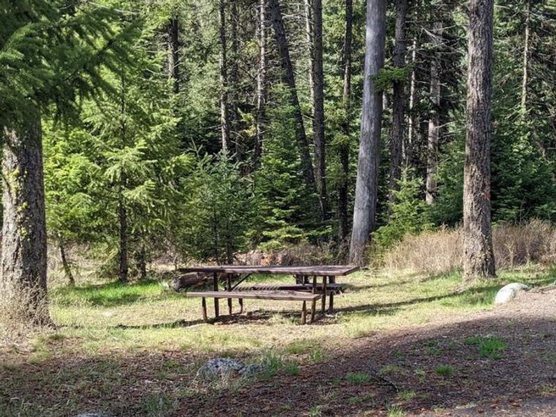
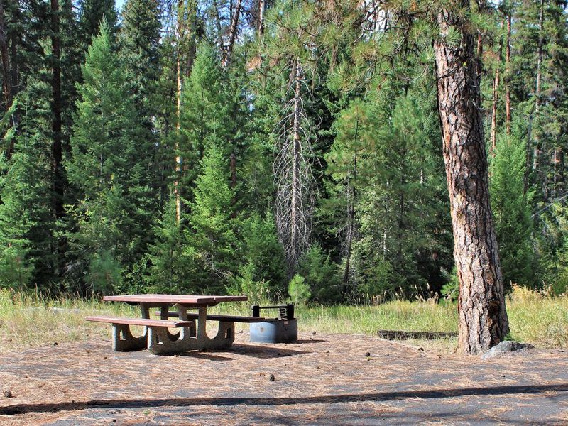
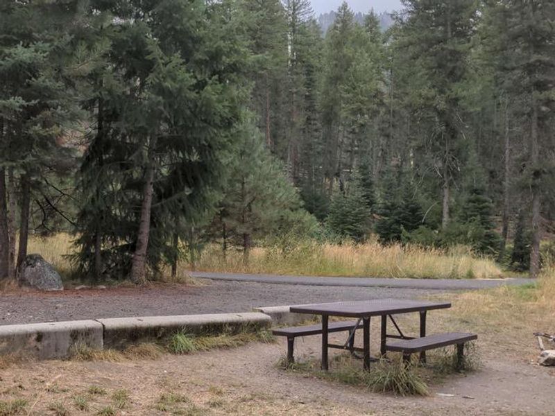
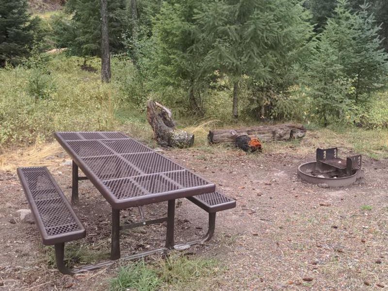
Four Mile
Closed — Closed for the winter season. The campground typically reopens in spring once the South Fork Road is snow-free.
Weed Free Hay Order 04-2021-03
Prohibited by this order: Possessing, storing, or transporting non-pelletized hay, straw, or mulch in the Intermountain Region, unless it is certified as weed free by the state where the product originated.
Explosives and Exploding Target Order 04-2021-02
This order prohibits the use of explosives and exploding targets on National Forest System lands within the Intermountain Region.
Northern and Intermountain Regions Frank Church River of No Return Wilderness
This order implements visitor use requirements for activities within the Restricted Area and on the Restricted Trails, as required by the Frank Church-River of No Return Wilderness Area Management Plan (November 2003).
Northern and Intermountain Regions Salmon Wild and Scenic River: Occupancy and Use
This order enacts visitor use restrictions for activities within the 80-mile-long wild segment of the Salmon Wild & Scenic River corridor, including a one-quarter mile buffer from the river, as required by the Frank Church-River of No Return Wilderness Area Manag
Granite Mountain Over Snow Vehicle Closure
The purpose of this order is to protect public safety during commercial cat skiing and grooming operations.
Chamberlain Airstrip Campground Restriction
The purpose of this Order is to protect resources, and the quality and wilderness character of the area as well as to avoid user conflicts between agency stock and private stock users in the area.
Big Flat Campground Area Closure
The purpose of this Order is to protect public safety prior to and during reconstruction of Big Flat Campground, which was severely damaged during the 2024 Lava Fire.
Wilderness Camping and Grazing Restrictions
The purpose of this Order is to protect fragile, high elevation, water-based natural resources within the Frank Church-River of No Return Wilderness from stock and user impacts.
Big Creek Area Boating Restrictions
The purpose of this Order is to protect Chinook Salmon and steelhead.
South Fork Salmon River East Trail Prohibitions
The purpose of this Order is to protect public safety due to unsafe creek crossings on the Described Trail.
Lost Valley Closure Area
The purpose of this order is to protect a federally listed, threatened species and its occupied habitat.
Calf Pen Area Closure
The area adjacent to NFS Road #50073 has been identified as a sensitive area for a federally listed, threatened species.
Commercial Hauling
The purpose of this order is protect public safety and National Forest resources.
South Fork Salmon Road Weight Restrictions
The purpose of this Order is to protect public safety and prevent potential resource damage during spring thaw conditions.
Over-Snow Vehicle Closure
The purpose of this order is to protect public safety and natural resources.
Payette Occupancy and Use- 14 Day Stay Limit
The purpose of this order is to address competition for campsites and to protect public safety and natural resources.
Frank Church Wilderness Occupancy and Use
The purpose of this order is to implement visitor use requirements for activities within the restricted area and on the restricted trails, as required by the Frank Church-River of No Return Wilderness Area Management Plan (November 2003).
Brundage Mountain Resort Snowcat Route Closure
The closure of the snowcat routes to over-snow vehicles provides for the safety of persons recreating or using the area.
Gordon Titus Upper Elevation Parking Lot Winter Restrictions
To provide for public health and safety related to noise and to reduce user conflicts at high usewinter recreation areas.
South Fork Salmon River and Big Creek Float
The purpose of the order is to implement permit requirements for float boating on the South Fork of the Salmon River and Big Creek as required by the Frank Church River of No Return Wilderness Area Management Plan.
About
Four Mile Campground is a small, primitive campground located along the South Fork Salmon River in the Payette National Forest. With just 4 campsites available on a first-come, first-served basis, this quiet spot attracts visitors seeking access to the area's extensive trail system and excellent river fishing opportunities. The campground is situated in a highly popular area of the forest that is one of the earlier areas to be snow-free in spring. The campground provides basic amenities including vault toilets, picnic tables, and fire rings at each site, but no potable water is available. Campers must treat or filter water from nearby sources or bring their own. The adjacent Four Mile Trailhead provides access to trails including the Indian Ridge Trail, which leads north into Nasty Creek and Camp Creek headwaters, serving both motorized and non-motorized recreation. Access to Four Mile requires driving the narrow, paved South Fork Road (FR 674), which is a one-lane road with two-way traffic and many blind corners. The South Fork corridor can be reached from Cascade via Warm Lake Highway or, once snow-free typically by July, via Lick Creek Pass from McCall. The campground operates seasonally and closes for winter.
Directions
From McCall, go 30 miles northeast on Forest Road 48 (Lick Creek Road), then 11 miles south on FR 674 (South Fork Road). The South Fork Road is a paved, narrow, one-lane road with two-way traffic and many blind corners.
Nearby Campgrounds
Amenities
| Water | No |
| Fires Allowed | Yes |
| Toilets | Yes |
| Dump Station | No |
| Wifi | No |
| Pets Allowed | Yes |
| Showers | No |
| Electric Hookups | — |
| Water Hookups | — |
| Sewer Hookups | — |
| Camp Store | No |
| Price | $10 |
Vehicle
| Max RV Length | — |
| Max Trailer Length | — |
| Big Rig Friendly | No |
| Pull Through Sites | No |
Contact
| Phone | +1 (208) 634-0600 |
Cell Service
| AT&T | None |
| Verizon | None |
| T-Mobile | None |
Useful Links
| View on Recreation.gov |
Availability
Photos
Community Posts
No posts yet. Be the first to share your experience!