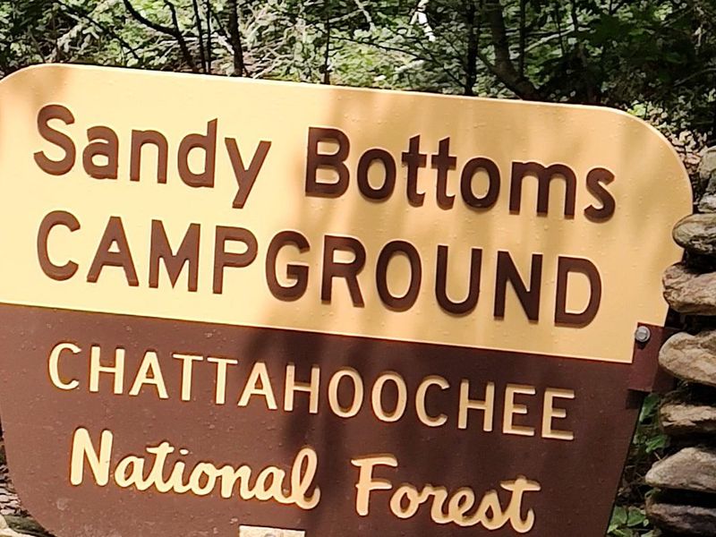
Sandy Bottoms Recreation Area Campground
Open for the 2026 season. Operating season runs March 15 through October 31. All sites require advance reservations through Recreation.gov. 14-day maximum stay within any 30-day period.
Road Maintenance: West Cowpen Road (FSR 17)
Temporary delays can be expected on West Cowpen Road (FSR 17) from 10/17/2026 through 11/13/2026 due to road maintenance. Road maintenance will be conducted from the GA DNR West Cowpen Check Station on Old Ga Highway 2 to its intersection with Mill Creek Road (FSR 630). Be aware of heavy…
Prescribed fire on Oconee Ranger District at Jasper County
#BurnAlerts – Oconee Ranger District The Oconee Ranger District will apply prescribed fire over the next several weeks to improve timber stands either before or after operations. The burn units are located in Putnam, Jasper, Jones and Greene counties. Smoke may be visible along adjacent…
Muskrat Road, FS 218, Temporarily Closed
Forest Service Road 218, Muskrat, is closed due to a road cave-in after recent heavy rain. Visitors may still access the parking lot for Windy Gap trail system.
About
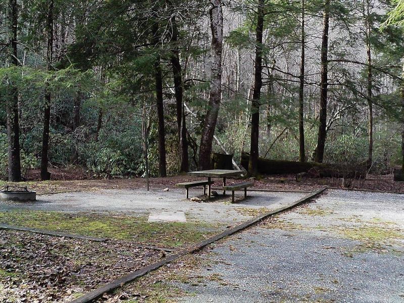
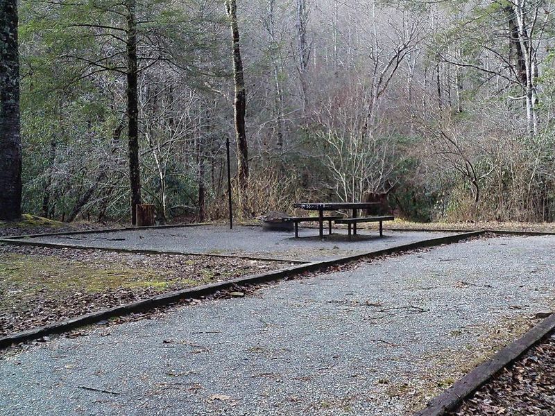
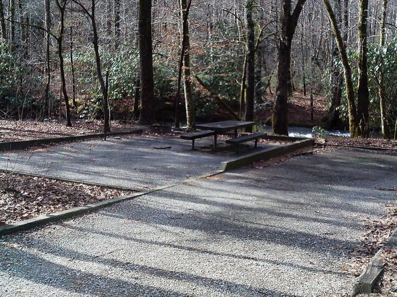
Sandy Bottoms Recreation Area Campground offers a rustic camping experience along the banks of the Tallulah River in north Georgia's Chattahoochee National Forest. The 13-site campground is shaded by various hardwood species, providing natural beauty whether visiting during spring's rebirth or fall's prominent North Georgia colors. Each site includes a fire ring, picnic table, and lantern post. Fishing is popular in the Tallulah River, though a Georgia fishing license and trout stamp are required. For hiking, a short drive along Tallulah River Road through Tate City leads to Beech Creek Trail and Buck Creek Trail in the Southern Nantahala Wilderness Area. The easier Coleman River Trail is approximately 5 miles in the opposite direction, offering a 1.1-mile in-and-out path along the Coleman River. Nearby attractions include Rabun Bald (the second-highest peak in Georgia), Tallulah Gorge State Park, the Chattooga Wild and Scenic River with whitewater rafting opportunities, and Lakes Rabun and Burton for boating.
Directions
Take U.S. 76 west from Clayton, Georgia for 8 miles. Turn right (north) on Persimmon Road for 4.2 miles. Turn left (northwest) on Tallulah River Road (Forest Service Road 70) for 4.6 miles to arrive at the campground.
Nearby Campgrounds
Amenities
| Water | Yes |
| Fires Allowed | Yes |
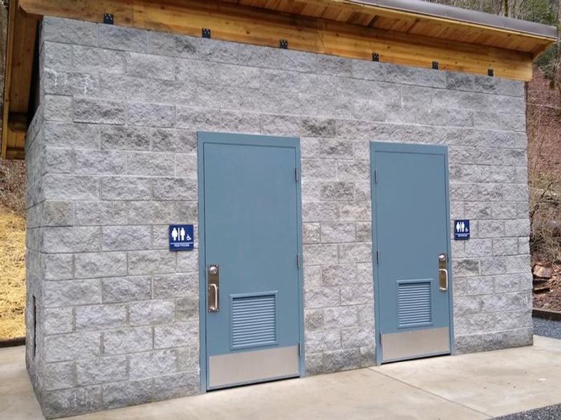
| Toilets | Yes |
| Dump Station | No |
| Wifi | No |
| Pets Allowed | — |
| Showers | No |
| Electric Hookups | — |
| Water Hookups | — |
| Sewer Hookups | — |
| Camp Store | No |
| Price | $15 |
Vehicle
| Max RV Length | — |
| Max Trailer Length | — |
| Big Rig Friendly | No |
| Pull Through Sites | No |
Contact
| sm.fs.crrd@usda.gov | |
| Phone | +1 (706) 754-6221 |
Cell Service
| AT&T | Yes |
| Verizon | None |
| T-Mobile | None |
Useful Links
| View on Recreation.gov | |
| USFS Sandy Bottoms Campground |
Availability
Photos
Community Posts
No posts yet. Be the first to share your experience!