Open for the 2026 season on a first-come, first-served basis. Opening was slightly delayed this year due to cool weather and lingering snowpack. Season typically runs from early May through fall.
About
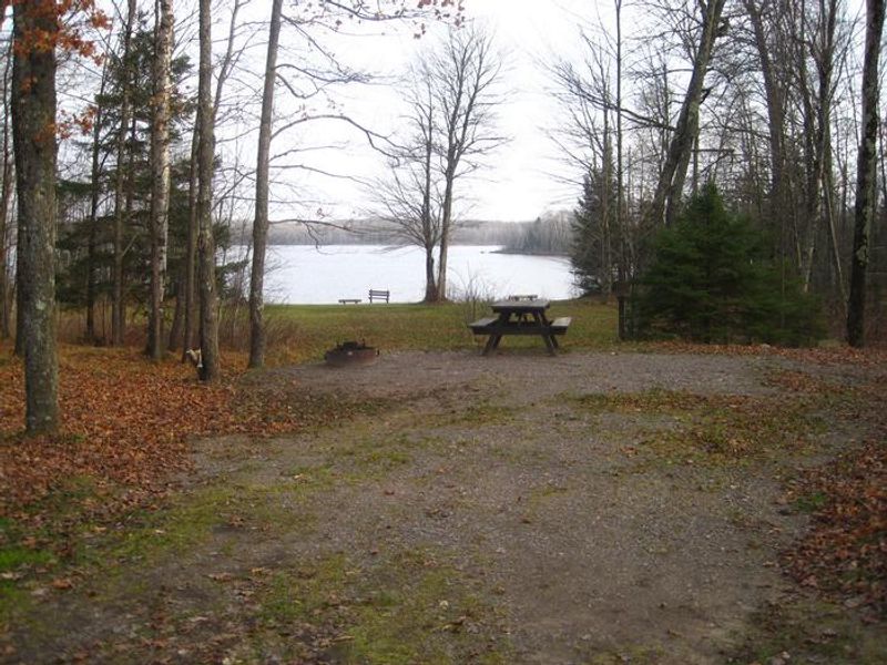
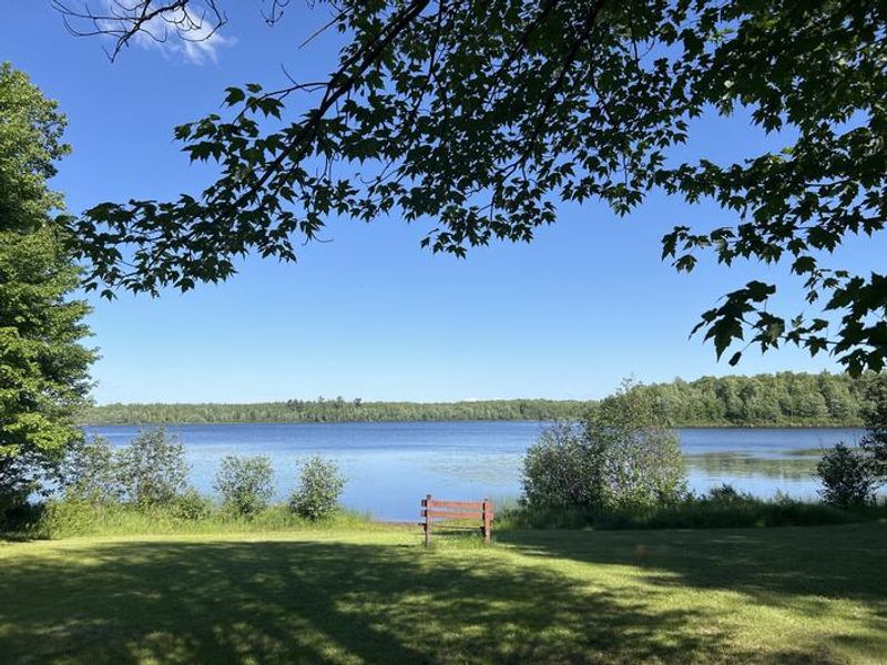
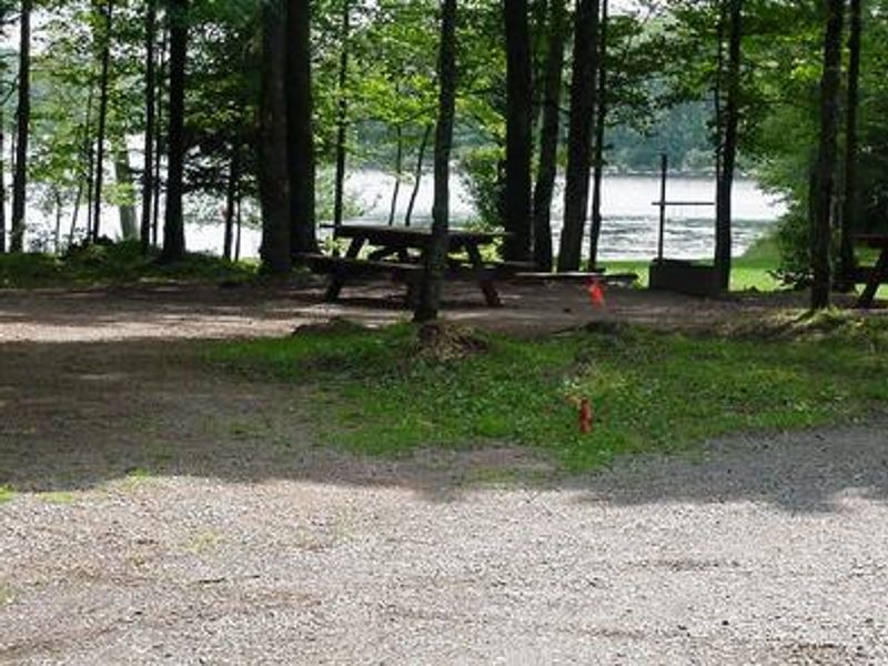
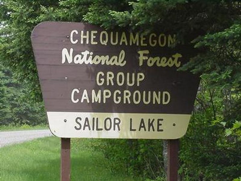
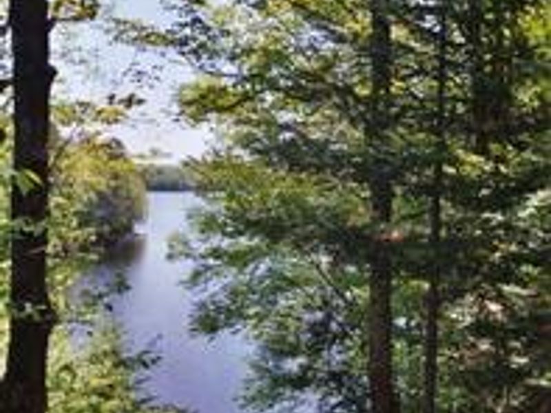
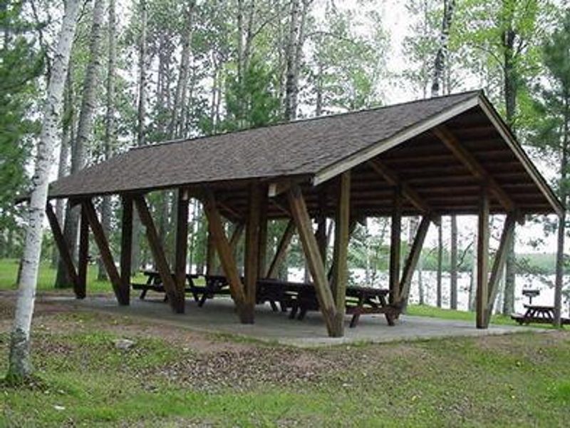
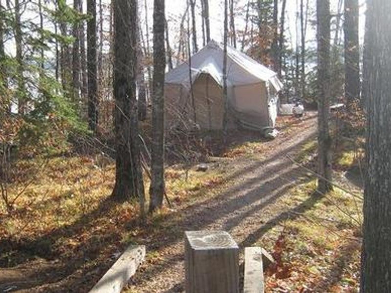
Sailor Lake Campground is a rustic National Forest campground situated on the northwestern shores of scenic 170-acre Sailor Lake in the Chequamegon-Nicolet National Forest. The campground features 25 sites arranged in two loops, shaded by a mixed hardwood forest at an elevation of about 1,460 feet. Sites range from standard back-in spurs to walk-in tent sites and pull-through sites capable of accommodating RVs up to 45 feet. The campground is a favorite among off-road enthusiasts, offering direct access to the 70-mile Flambeau Motorized Trail System. The trail network features rolling terrain, tree-lined corridors, wooden bridges, and vistas overlooking bogs and lakes. It's also popular for snowmobiling in winter. Sailor Lake itself offers excellent fishing for perch, bluegill, crappie, largemouth bass, and northern pike, with both motorized and non-motorized boating permitted. A boat ramp and picnic shelter are located about a mile south at the Sailor Lake Picnic Area. The campground is approximately 11 miles southeast of Fifield, which offers various tourist attractions including historic sites and a reconstructed logging dam.
Directions
From Fifield, follow State Highway 70 east for about 7 miles and turn right (south) on Forest Road 139. Continue for 3 miles to the campground.
Amenities
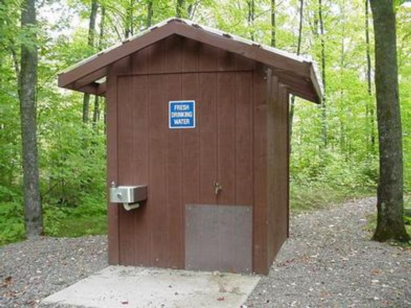
| Water | Yes |
| Fires Allowed | Yes |
| Toilets | Yes |
| Dump Station | No |
| Wifi | No |
| Pets Allowed | Yes |
| Showers | No |
| Electric Hookups | — |
| Water Hookups | — |
| Sewer Hookups | — |
| Camp Store | No |
| Price | $15 - $30 |
Vehicle
| Max RV Length | 70ft |
| Max Trailer Length | 60ft |
| Big Rig Friendly | Yes |
| Pull Through Sites | No |
Contact
| sm.fs.cnnfadmin@usda.gov | |
| Phone | +1 (715) 748-4875 |
Cell Service
| AT&T | None |
| Verizon | Yes |
| T-Mobile | None |
Availability
Photos
Community Posts
No posts yet. Be the first to share your experience!