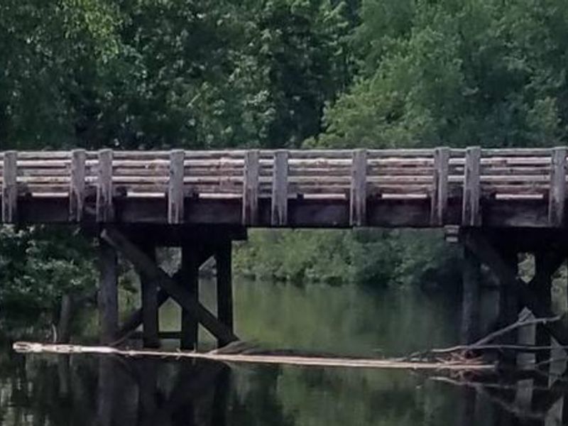
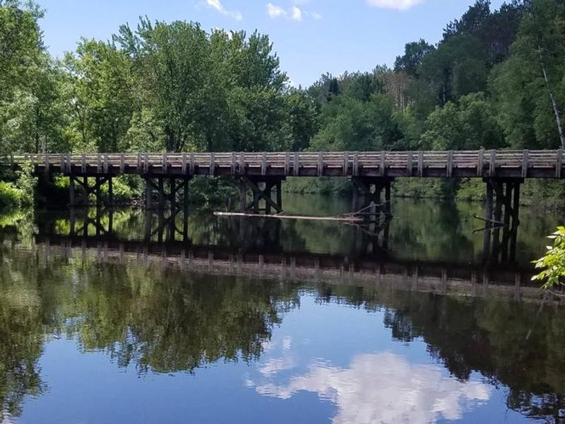
Stockfarm Bridge
Open for the 2026 season. The campground opened the Thursday before the May fishing opener. All 8 sites are first-come-first-served with no advance reservations.
About
Stockfarm Bridge Campground sits in a quiet red pine forest on the banks of the East Fork of the Chippewa River in the Chequamegon-Nicolet National Forest's Great Divide District. The campground offers 8 sites: 7 individual sites accommodating up to 8 people and 4 vehicles each, plus one group site for up to 16-20 people. All sites are first-come-first-served with no advance reservations. Each site features a fire ring and picnic table. The campground has two vault toilets and potable water via hand pump. There is no trash service, so campers must pack out all garbage. ATVs and UTVs are prohibited within the campground itself. The recreation area is ideal for paddlers and anglers, with direct access to the scenic East Fork of the Chippewa River. The 48-mile Dead Horse Run Off-Road Vehicle Trail is accessible via a short drive on Forest Road 164. Fall hunting for small and big game is also popular in the surrounding elk habitat.
Directions
From Loretta, drive north on County Highway GG 10.8 miles to the intersection of FR 164. Turn right (east) and drive 7.8 miles to the campground. From Glidden, drive south 9.4 miles on Highway 13 to Bear Lake Road (FR 163). Turn right (west) on Bear Lake Road and drive 9 miles to FR 164. Turn right (north) on FR 164 and drive 3 miles to the campground.
Amenities
| Water | Yes |
| Fires Allowed | Yes |
| Toilets | Yes |
| Dump Station | — |
| Wifi | — |
| Pets Allowed | — |
| Showers | No |
| Electric Hookups | — |
| Water Hookups | — |
| Sewer Hookups | — |
| Camp Store | — |
| Price | $15 - $40 |
Vehicle
| Max RV Length | 45ft |
| Max Trailer Length | 45ft |
| Big Rig Friendly | No |
| Pull Through Sites | No |
Contact
| Phone | +1 (715) 264-2511 |
Cell Service
| AT&T | None |
| Verizon | None |
| T-Mobile | None |
Availability
Photos
Community Posts
No posts yet. Be the first to share your experience!