Ray Behrens
The campground is currently open with sites available for reservation. Reservations are made through Recreation.gov. Check-in is at 5:00 PM and check-out is at 4:00 PM. Firewood restrictions are in effect to prevent invasive pests; buy firewood locally and burn it on-site.
About
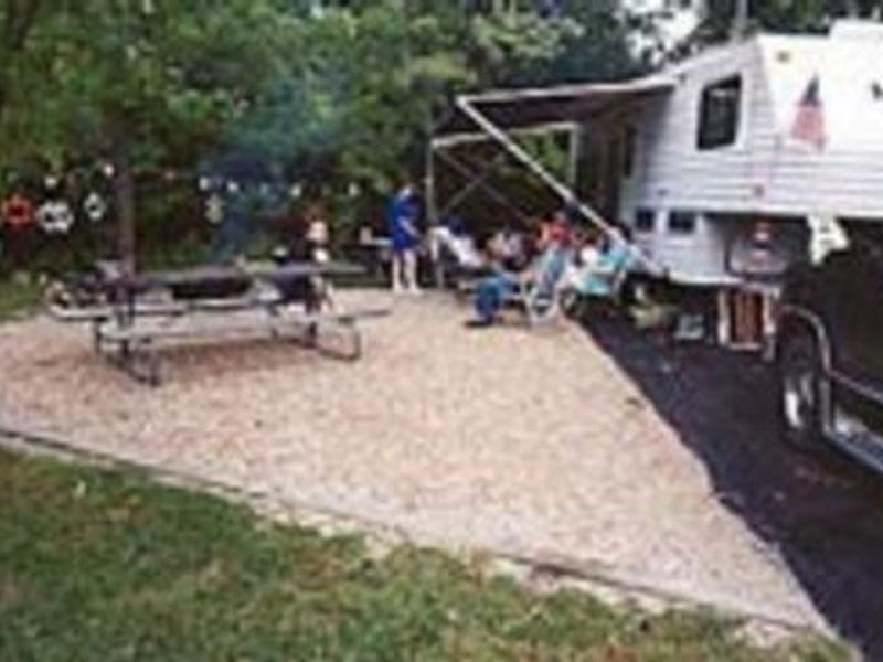
Ray Behrens Recreation Area is a well-developed campground operated by the US Army Corps of Engineers on the southeastern shores of Mark Twain Lake. The campground features 165 sites distributed across three loops: Deer Run, Little Bluestem, and Cedar Ridge. All sites have electric hookups with 20/30/50 amp service, and 51 sites offer full hookups including water. Sites feature paved driveways and parking pads with generous spacing that can accommodate large RVs up to 87 feet or more. Facilities include five flush restroom buildings, four shower buildings, and a dump station near the gatehouse. Each campsite has a picnic table and fire grill. The recreation area features four playgrounds, an amphitheater, and a group picnic shelter. Blackjack Marina on-site provides boat rentals, concessions, and fuel, with a four-lane boat launch and fish cleaning station available to campers. Mark Twain Lake offers extensive recreation including boating, swimming, fishing, hiking, and hunting. The historic village of Florida, birthplace of Mark Twain, sits beside the lake, and Hannibal, where visitors can tour the author's boyhood home, is 25 miles east.
Directions
From Hannibal MO, travel west on Highway 36 for 17 miles, turn south onto Route J and go 12 miles to the campground.
Amenities
| Water | Yes |
| Fires Allowed | Yes |
| Toilets | Yes |
| Dump Station | Yes |
| Wifi | — |
| Pets Allowed | Yes |
| Showers | Yes |
| Electric Hookups | Yes |
| Water Hookups | Yes |
| Sewer Hookups | No |
| Camp Store | No |
| Price | $24 - $30 |
Vehicle
| Max RV Length | 107ft |
| Max Trailer Length | 107ft |
| Big Rig Friendly | Yes |
| Pull Through Sites | No |
Contact
| marktwaininfo@usace.army.mil | |
| Phone | +1 (573) 735-4097 |
Cell Service
| AT&T | None |
| Verizon | None |
| T-Mobile | Yes |
Availability
Photos

Community Posts
No posts yet. Be the first to share your experience!