John Spalding Rec Ar
Day-use area with reservable group shelters. The facility operates seasonally, typically April through November. High water boat ramp opens when lake elevation exceeds 625 msl.
About
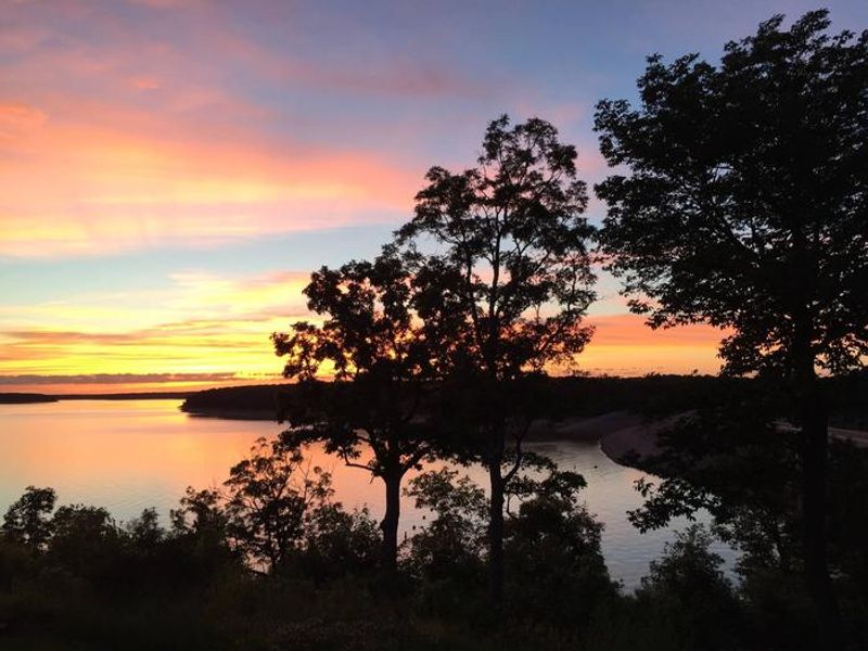
John Spalding Recreation Area occupies 506 acres on the northeastern end of Mark Twain Lake, managed by the U.S. Army Corps of Engineers. The area is divided into two primary zones: a boat ramp with parking and a day-use section featuring a sandy swimming beach, shower house, restrooms, playground, and picnic facilities. Three group shelters are available for reservation through Recreation.gov, each accommodating up to 100 people with 15-amp electric hookups. The shelters operate on a day-use basis with check-in at 8:00 AM and checkout at 10:00 PM. The third shelter includes an attached restroom. The recreation area serves as the trailhead for the Joanna Trail, a 32-mile multi-use path along the northern shore of Mark Twain Lake suitable for hiking, mountain biking, and horseback riding. Nearby attractions include Mark Twain's birthplace in Florida, Missouri and the M.W. Boudreaux Visitor Center above Clarence Cannon Dam.
Directions
From Hannibal, MO, travel west on Highway 36 for 17 miles. Turn south on Route J and travel 6 miles. Turn west on Oakland Drive and travel 2 miles.
Amenities
| Water | — |
| Fires Allowed | — |
| Toilets | Yes |
| Dump Station | — |
| Wifi | — |
| Pets Allowed | Yes |
| Showers | Yes |
| Electric Hookups | Yes |
| Water Hookups | No |
| Sewer Hookups | No |
| Camp Store | — |
| Price | $30 |
Vehicle
| Max RV Length | — |
| Max Trailer Length | — |
| Big Rig Friendly | — |
| Pull Through Sites | No |
Contact
| marktwaininfo@usace.army.mil | |
| Phone | +1 (573) 735-4097 |
Cell Service
| AT&T | Yes |
| Verizon | None |
| T-Mobile | Yes |
Availability
Photos
Community Posts
No posts yet. Be the first to share your experience!