Rainbow
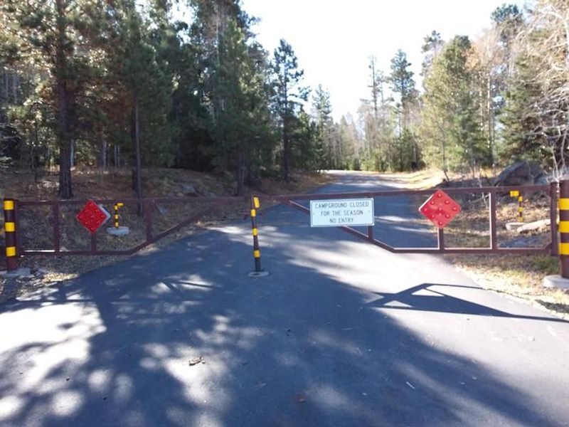
Closed for seasonal closure. Opens May 15, 2026 weather permitting. Reservations available through Recreation.gov; Loop F sites 130-152 are first-come, first-served only.
Flash Flood Warning issued July 20 at 4:42PM MST until July 20 at 7:45PM MST by NWS Flagstaff AZ
FFWFGZ The National Weather Service in Flagstaff has issued a * Flash Flood Warning for... Navajo County in north central Arizona... Apache County in northeastern Arizona... * Until 745 PM MST. * At 442 PM MST, Doppler radar indicated thunderstorms producing heavy rain from Woodruff to Snowflake. Flash flooding is ongoing or expected to begin shortly. HAZARD...Life threatening flash flooding. Thunderstorms producing flash flooding. SOURCE...Radar indicated. IMPACT...Life threatening flash flooding of creeks and streams, normally dry washes, urban areas, highways, streets and underpasses. * Some locations that will experience flash flooding include... Taylor, Shumway, Woodruff, Petrified Forest National Park, Taylor Airport, Rainbow Forest Lodge, Schoens Lake, Snowflake, White Mountain Lake Estates, White Mountain Lake Airport, Crystal Forest and Petrified Forest National Wilderness Area. This includes the following highways... State Route 377 between mile markers 17 and 28. State Route 277 between mile markers 330 and 336. State Route 77 between mile markers 351 and 382. Highway 180 between mile markers 314 and 330. This includes the following creeks, washes and rivers... Phoenix Park Wash, Teds Wash, Concho Flat Wash, Jim Camp Wash, Mexican Hollow Wash, Canal, The, Washboard Wash, Hay Hollow Draw, Show Low Creek, Dodson Wash, Porter Tank Draw, Wild Cow Wash, Puerco River, Scott Wash, Dry Creek, Cottonwood Wash, Sevenmile Draw, Silver Creek, Cheney Draw, Rocky Arroyo, Little Colorado River, Milky Wash, Fivemile Wash, Carr Lake Draw, East Washboard Wash and Little Milky Wash.
Flood Watch issued July 20 at 12:38PM MST until July 21 at 10:00PM MST by NWS Flagstaff AZ
* WHAT...Flash flooding caused by excessive rainfall is possible. * WHERE...Portions of east central, north central, northeast, and west central Arizona, including the following areas, in east central Arizona, Northern Gila County. In north central Arizona, Black Mesa Area, Coconino Plateau, Eastern Mogollon Rim, Grand Canyon Country, Kaibab Plateau, Little Colorado River Valley in Coconino County, Marble and Glen Canyons, Northeast Plateaus and Mesas Hwy 264 Northward, Northeast Plateaus and Mesas South of Hwy 264 and Western Mogollon Rim. In northeast Arizona, Little Colorado River Valley in Apache County, Little Colorado River Valley in Navajo County and White Mountains. In west central Arizona, Yavapai County Mountains. * WHEN...From Tuesday morning through Tuesday evening. * IMPACTS...Flash flooding will be possible in creeks, normally dry washes, swimming holes, and over recently burned areas. Raging killer currents will be possible in side canyons and narrow slot canyons. Low-water crossings may be flooded. * ADDITIONAL DETAILS... - Deep monsoon moisture in place across northern Arizona will lead to storms capable of producing rainfall in excess of 2 inches per hour, resulting in an enhanced risk of flash flooding. - Additional information is available at weather.gov/flagstaff.
About
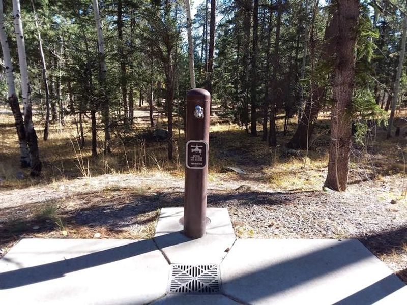
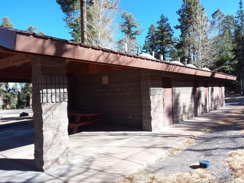
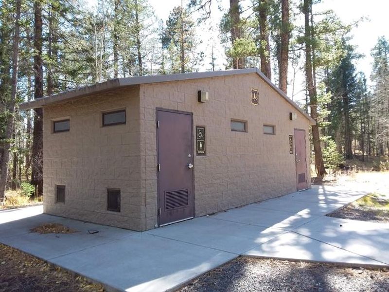
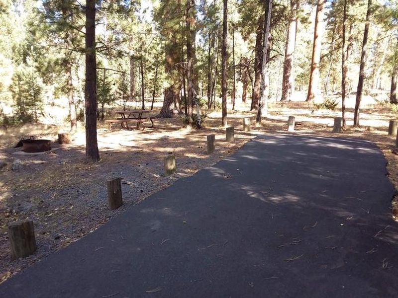
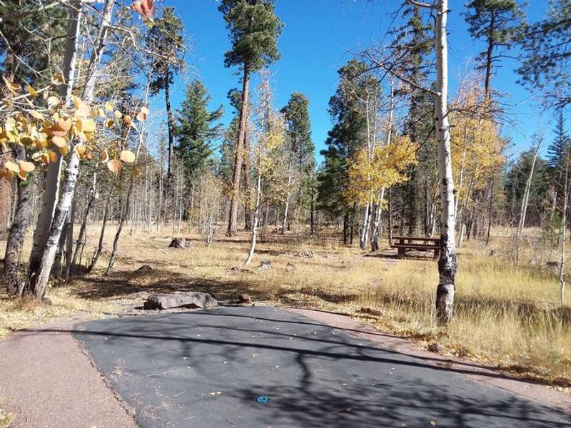
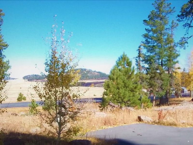
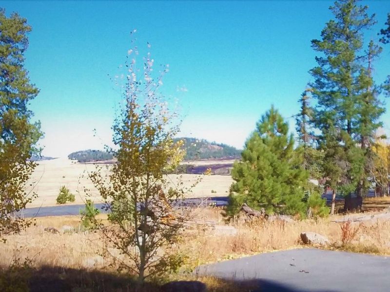
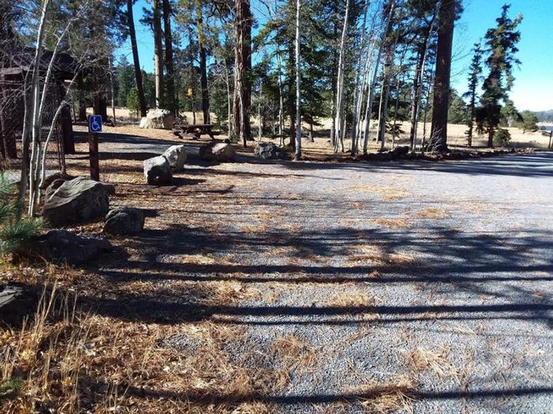
Rainbow Campground sits at 9,000 feet in the White Mountains of eastern Arizona, making it a popular escape from desert heat. The 165-site campground is organized into six loops, including four double sites accommodating up to 16 people and two ADA-accessible sites. Loop F (sites 130-152) operates on a first-come, first-served basis while other sites are reservable through Recreation.gov. The campground is adjacent to 450-acre Big Lake, renowned for rainbow, cutthroat, brook, and Apache trout. Beyond fishing, visitors enjoy hiking, mountain biking, horseback riding, and wildlife viewing. A small concessionaire store nearby sells gas, food, firewood, and boat rentals. Facilities include flush toilets, showers, and a dump station. Paved roads throughout make navigation easy. Summer temperatures are pleasant but nights are cool at this elevation; afternoon thunderstorms are common. Bears frequent the area, so proper food storage is required.
Directions
From Show Low, take Highway 260 east for 42 miles to Highway 273. Take Highway 273 south for 30 miles; Big Lake Recreation Area will be on the west side. From Eagar, go 5 miles west on State Route 260, turn south on State Route 261 for 29 miles to State Route 273, then west about 3 miles.
Amenities
| Water | Yes |
| Fires Allowed | Yes |
| Toilets | Yes |
| Dump Station | Yes |
| Wifi | No |
| Pets Allowed | Yes |
| Showers | Yes |
| Electric Hookups | — |
| Water Hookups | — |
| Sewer Hookups | — |
| Camp Store | Yes |
| Price | $34 - $110 |
Vehicle
| Max RV Length | 180ft |
| Max Trailer Length | 180ft |
| Big Rig Friendly | — |
| Pull Through Sites | No |
Contact
| camping@rrmofa.com | |
| Phone | +1 (928) 537-8888 |
Cell Service
| AT&T | None |
| Verizon | Yes |
| T-Mobile | None |
Availability
Photos
Community Posts
No posts yet. Be the first to share your experience!