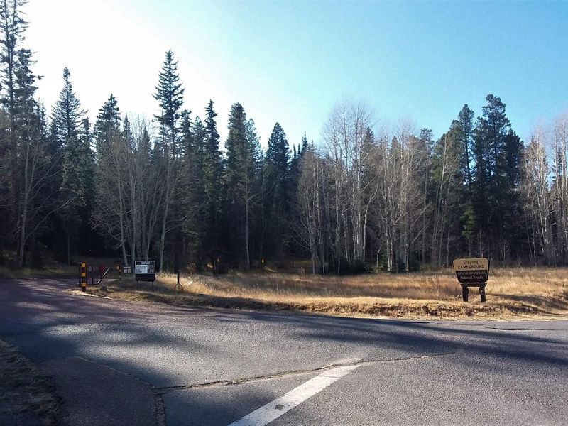
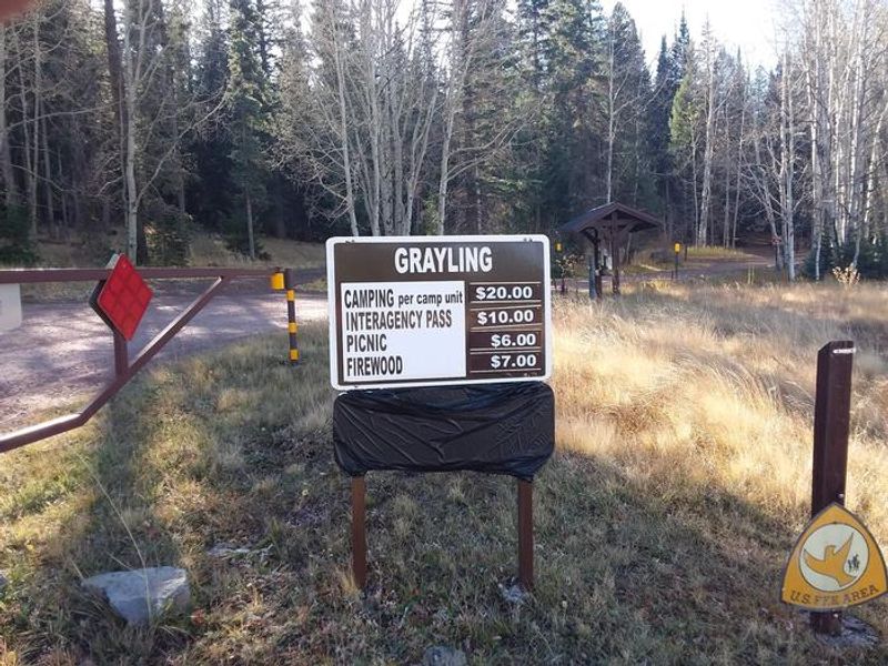
Grayling
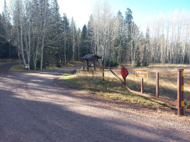
Open for the 2026 season. Stage 1 Fire Restrictions are in effect through September 30, 2026, limiting fires to Forest Service-provided fire structures only. No potable water available on-site. Opening and closing dates are weather-dependent.
Wind Advisory issued October 9 at 12:58PM MST until October 11 at 8:00PM MST by NWS Flagstaff AZ
* WHAT...South winds 25 to 35 mph with gusts up to 50 mph expected. * WHERE...All of central and northern Arizona, including Apache, Navajo, Coconino, Yavapai and northern Gila counties. * WHEN...From 8 AM MST /9 AM MDT/ to 8 PM MST /9 PM MDT/ Sunday. * IMPACTS...Gusty winds will blow around unsecured objects. Tree limbs could snap resulting in a few power outages. Travel will be difficult, especially for high profile vehicles. * ADDITIONAL DETAILS...A strong upper-level trough along with the remnants of Tropical Storm Rachel will create a synoptic pattern supportive of strong gusts across northern Arizona, especially along the higher terrain.
No Fire Restrictions
There are currently no fire restrictions within the Apache-Sitgreaves National Forests.
14 Day Camping Limit Order
Apache-Sitgreaves National Forests visitors are limited to no more than 14 consecutive days within any 30 day period.
About
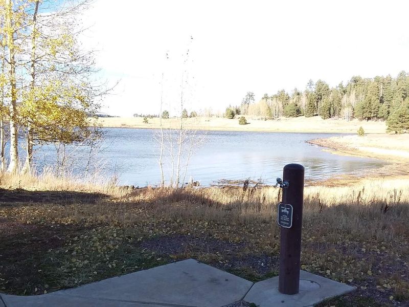
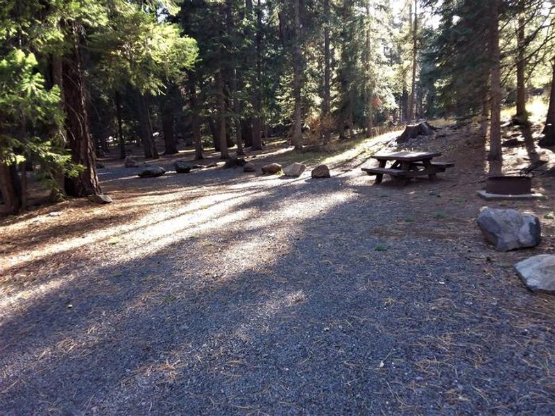
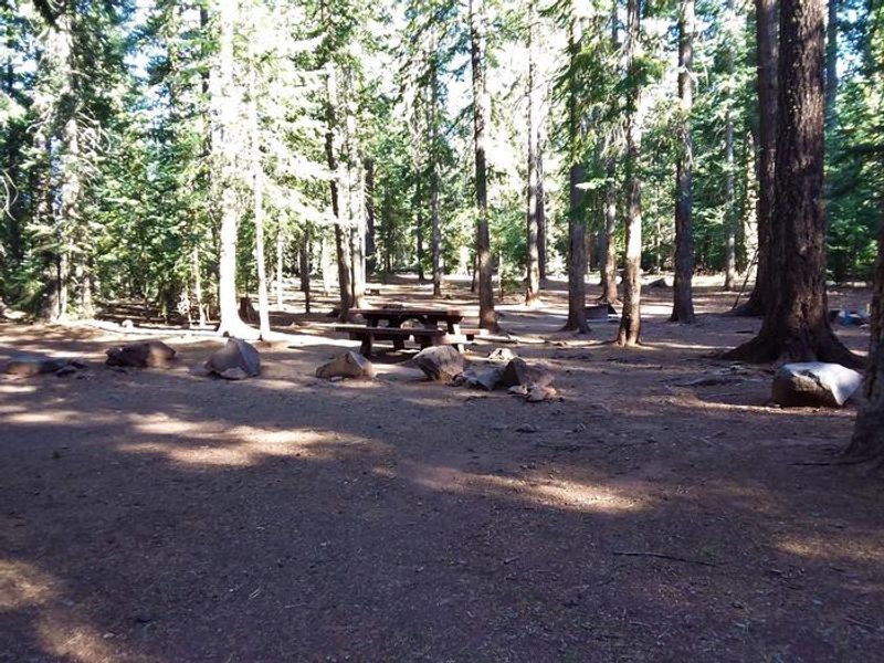
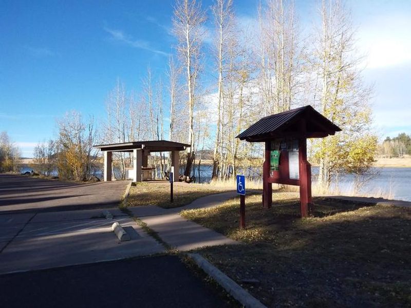
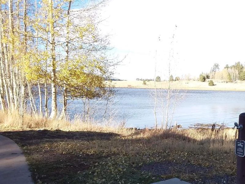
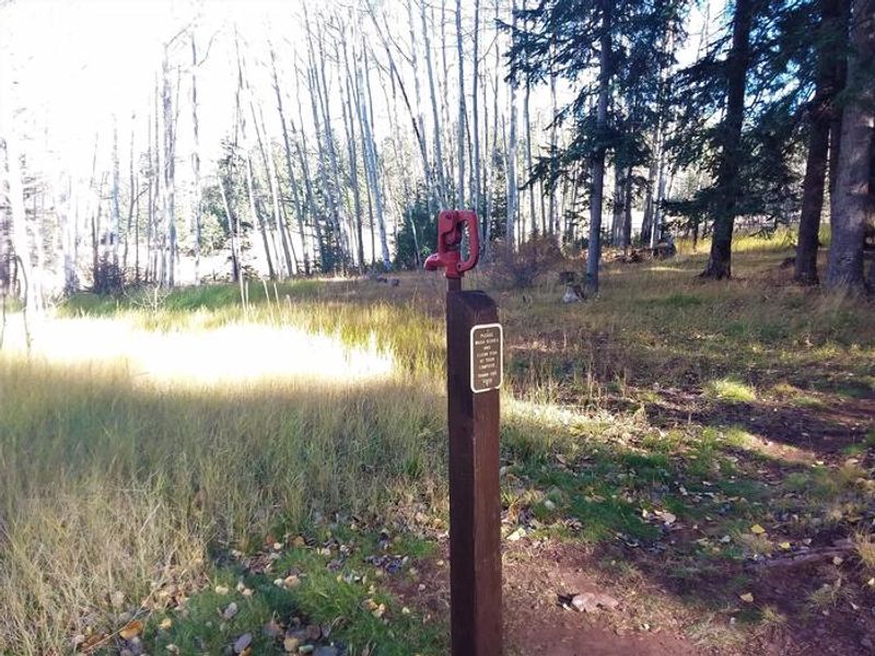
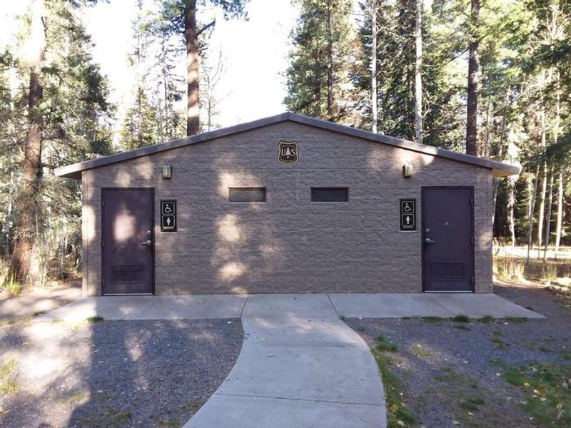
Grayling Campground offers the most secluded sites in the Big Lake Recreation Area, nestled in a mixed conifer and aspen forest at 9,000 feet in Arizona's White Mountains. All 23 sites are arranged along a single loop, with some offering views of 450-acre Big Lake, though none sit directly on the waterfront. The high elevation provides cool summer temperatures and a welcome respite from lower desert heat. Big Lake is one of Arizona's top fishing destinations, supporting rainbow, cutthroat, brook, and Apache trout. Beyond fishing, the area is popular for hiking, mountain biking, birding, and wildlife viewing. A visitor center offers educational programs. Campers should be prepared for cool nighttime temperatures and occasional summer thunderstorms. Each site includes a fire ring, grill, and picnic table. Flush toilets are on-site, but no potable water is available. A dump station, showers, and camp store with gas, food, boat rentals, and firewood are located approximately one mile away. Bears frequent the area; food storage regulations are strictly enforced.
Directions
From Show Low, take Highway 260 east for 42 miles to Highway 273. Take Highway 273 south for 30 miles to the Big Lake Recreation Area on the west side. From Eagar, go 5 miles west on State Route 260, turn south on State Route 261 for 29 miles to State Route 273, then west about 3 miles to the Big Lake Recreation Area.
Amenities
| Water | No |
| Fires Allowed | Yes |
| Toilets | Yes |
| Dump Station | No |
| Wifi | No |
| Pets Allowed | Yes |
| Showers | No |
| Electric Hookups | — |
| Water Hookups | — |
| Sewer Hookups | — |
| Camp Store | No |
| Price | $34 |
Vehicle
| Max RV Length | 45ft |
| Max Trailer Length | 45ft |
| Big Rig Friendly | No |
| Pull Through Sites | No |
Contact
| Phone | +1 (928) 537-8888 |
Cell Service
| AT&T | None |
| Verizon | None |
| T-Mobile | None |
Availability
Photos
Community Posts
No posts yet. Be the first to share your experience!