Brookchar
The campground is currently closed for the season and reopens May 15, 2026. Opening and closing dates are weather permitting. Reservations available via Recreation.gov. No fee camping after mid-October.
Wind Advisory issued October 9 at 12:58PM MST until October 11 at 8:00PM MST by NWS Flagstaff AZ
* WHAT...South winds 25 to 35 mph with gusts up to 50 mph expected. * WHERE...All of central and northern Arizona, including Apache, Navajo, Coconino, Yavapai and northern Gila counties. * WHEN...From 8 AM MST /9 AM MDT/ to 8 PM MST /9 PM MDT/ Sunday. * IMPACTS...Gusty winds will blow around unsecured objects. Tree limbs could snap resulting in a few power outages. Travel will be difficult, especially for high profile vehicles. * ADDITIONAL DETAILS...A strong upper-level trough along with the remnants of Tropical Storm Rachel will create a synoptic pattern supportive of strong gusts across northern Arizona, especially along the higher terrain.
No Fire Restrictions
There are currently no fire restrictions within the Apache-Sitgreaves National Forests.
14 Day Camping Limit Order
Apache-Sitgreaves National Forests visitors are limited to no more than 14 consecutive days within any 30 day period.
About
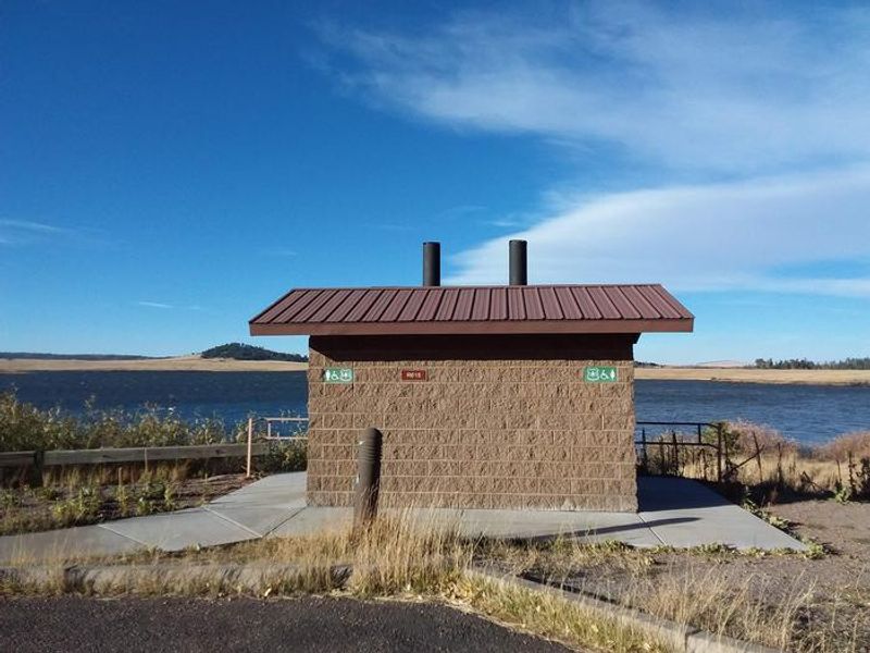
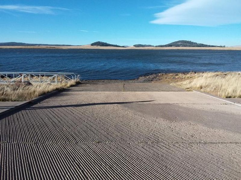
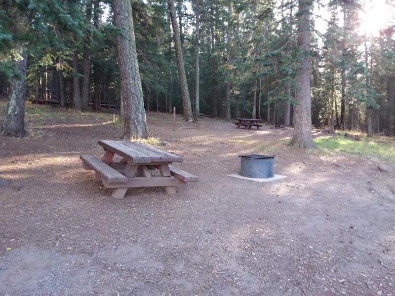
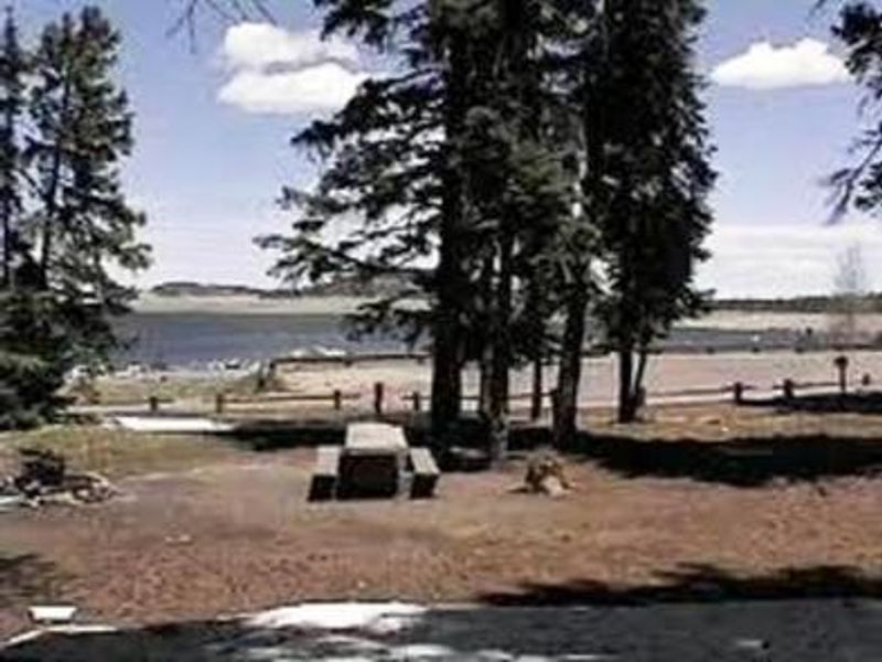
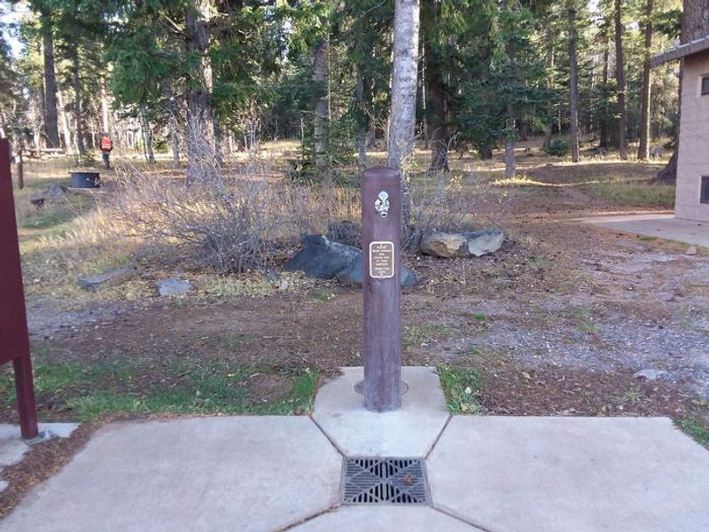
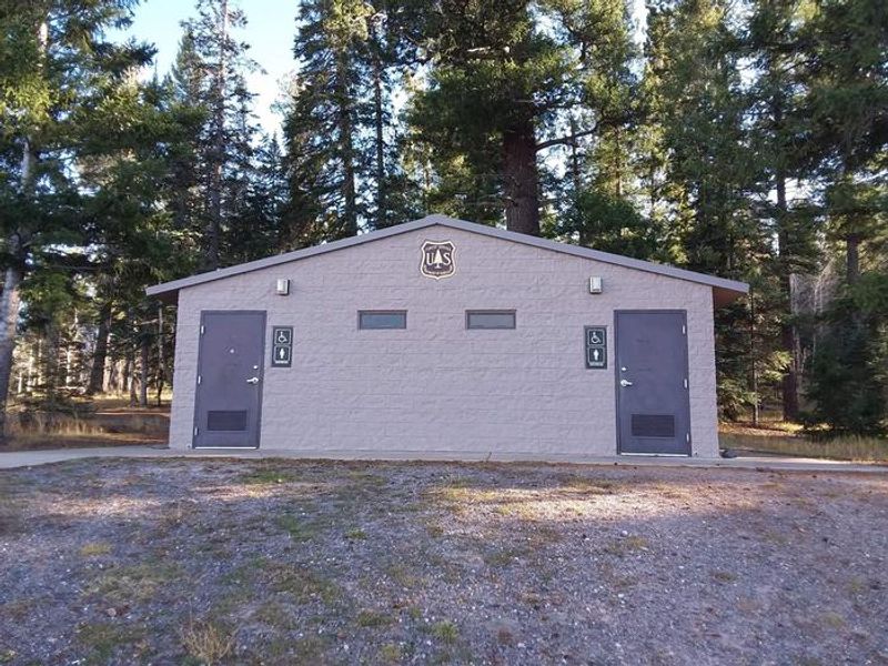
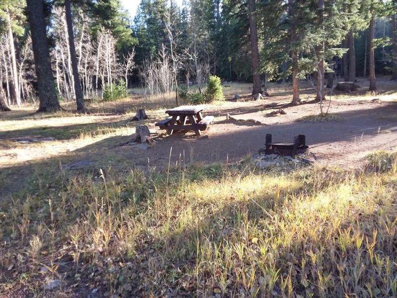
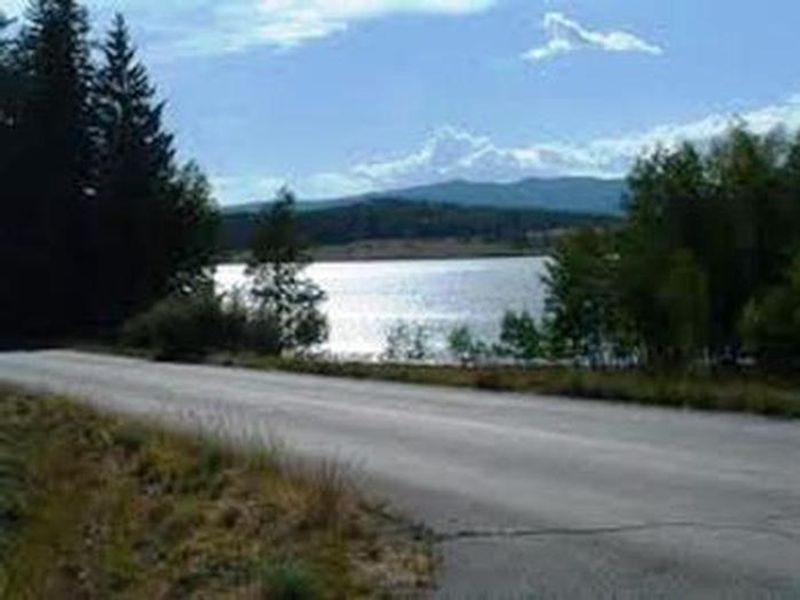
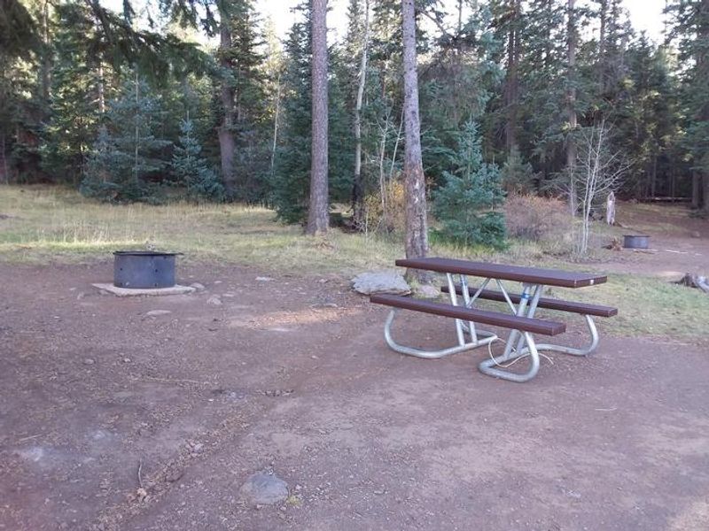
Brookchar Campground is tucked on the banks of Big Lake in the White Mountains of eastern Arizona. The campground is a small, tent-only facility comprised entirely of walk-in sites. Of the lake's five campgrounds, Brookchar is nearest to the water, making it ideal for anglers targeting the stocked trout. The campground sits at an elevation of 9,100 feet in scenic forest of ponderosa pine, fir, spruce, and aspen interspersed with high elevation meadows. Big Lake is one of Arizona's top trout fishing lakes, with rainbow, cutthroat, brook, and Apache trout being the most sought-after species. The recreation area is also popular for hiking, mountain biking, horseback riding, birding, and wildlife viewing. Boat rentals and a boat ramp are available nearby. The campground has 12 tent-only walk-in sites with flush toilets, water spouts, campfire rings, and picnic tables. A campground host is on-site for visitor assistance. A dump station, store, firewood, gas, food, and boat rentals are located a half-mile away, with showers one mile away. Bears frequent the area; food storage rules are enforced.
Directions
From Pinetop, Arizona, take Highway 260 east 25 miles to Highway 273 south. Follow Highway 273 south 19 miles to Forest Road 8115 (Big Lake Entrance). Turn right and travel 2 miles. Alternatively, from Show Low, take Highway 260 east 42 miles to Highway 273, then south 30 miles.
Amenities
| Water | Yes |
| Fires Allowed | Yes |
| Toilets | Yes |
| Dump Station | No |
| Wifi | — |
| Pets Allowed | Yes |
| Showers | No |
| Electric Hookups | — |
| Water Hookups | — |
| Sewer Hookups | — |
| Camp Store | No |
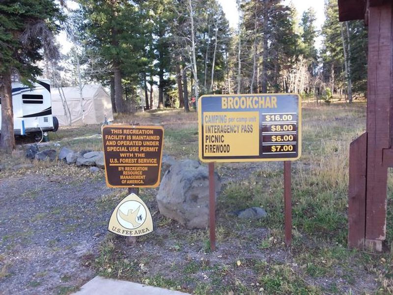
| Price | $26 |
Vehicle
| Max RV Length | — |
| Max Trailer Length | — |
| Big Rig Friendly | No |
| Pull Through Sites | No |
Contact
| Phone | +1 (928) 537-8888 |
Cell Service
| AT&T | None |
| Verizon | None |
| T-Mobile | None |
Availability
Photos
Community Posts
No posts yet. Be the first to share your experience!