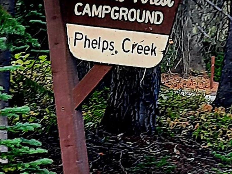
Phelps Creek Campground
The campground is currently closed for the season. Phelps Creek Campground typically operates during summer months when Chiwawa River Road is passable. The 12-mile gravel/dirt section of access road remains closed due to seasonal conditions.
Heat Advisory issued July 20 at 11:50AM PDT until July 22 at 9:00PM PDT by NWS Spokane WA
* WHAT...Hot temperatures with daytime highs in the mid 90s to near 100 degrees Tuesday, and upper 90s to low 100s Wednesday. * WHERE...Portions of the Idaho Panhandle and Central and Eastern Washington. * WHEN...From 9 AM Tuesday to 9 PM PDT Wednesday. * IMPACTS...Hot temperatures may cause heat illnesses. * ADDITIONAL DETAILS...Wednesday will likely be the hottest day this week, though additional heat advisories may be needed on Thursday. Limited overnight relief expected across the lower elevations Tuesday night into Wednesday morning with low temperatures in the mid 60s to mid 70s.
About
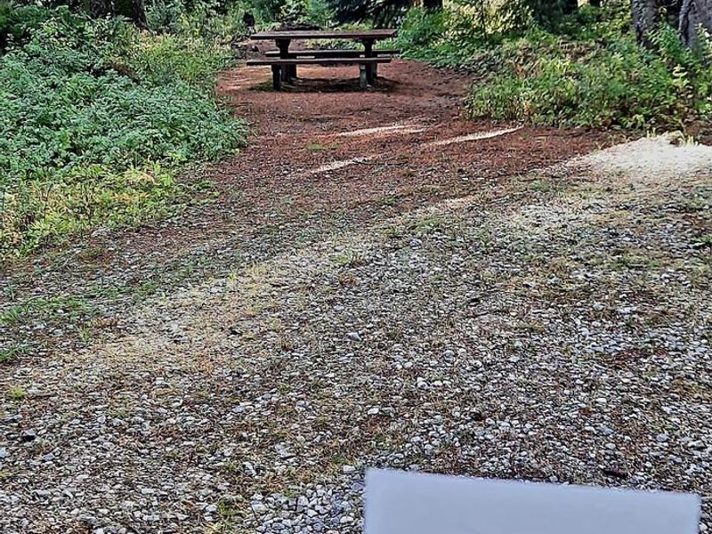
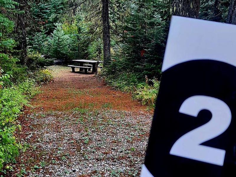
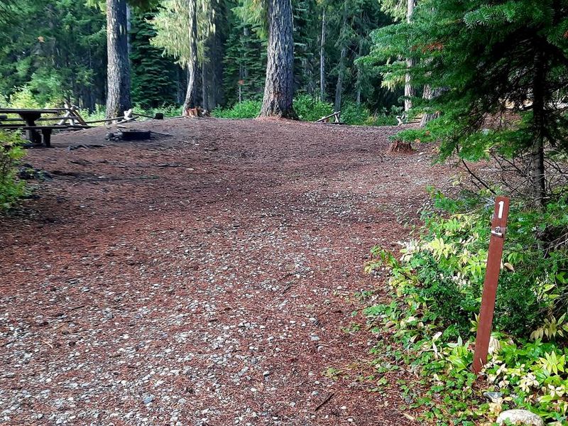
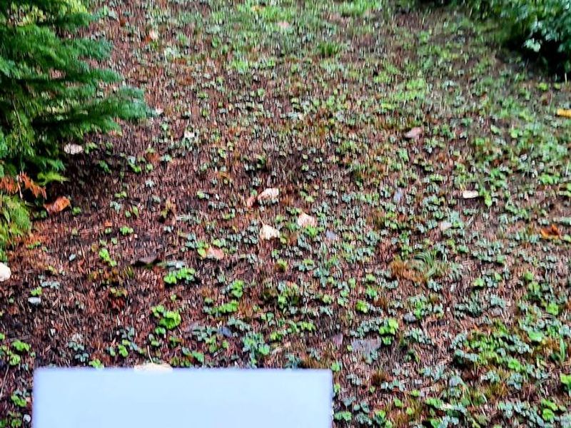
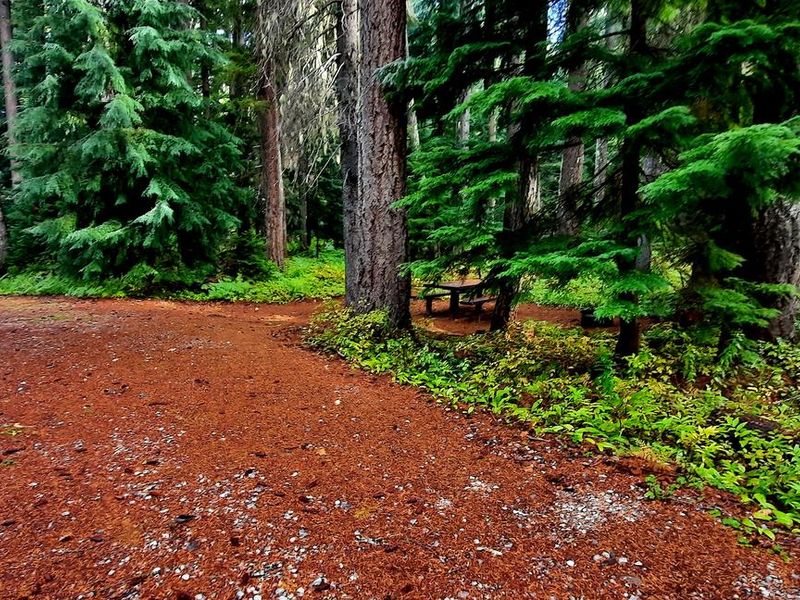
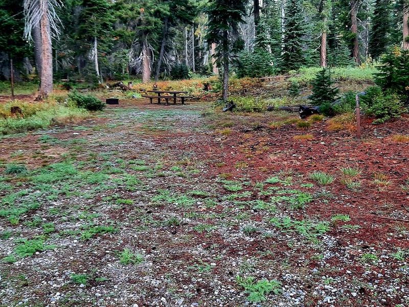
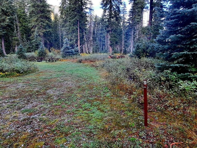
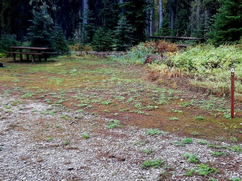
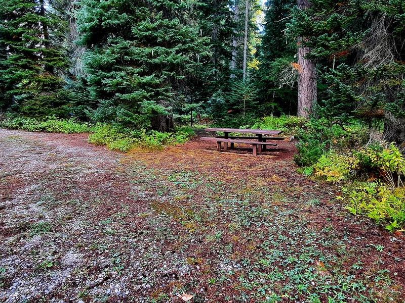
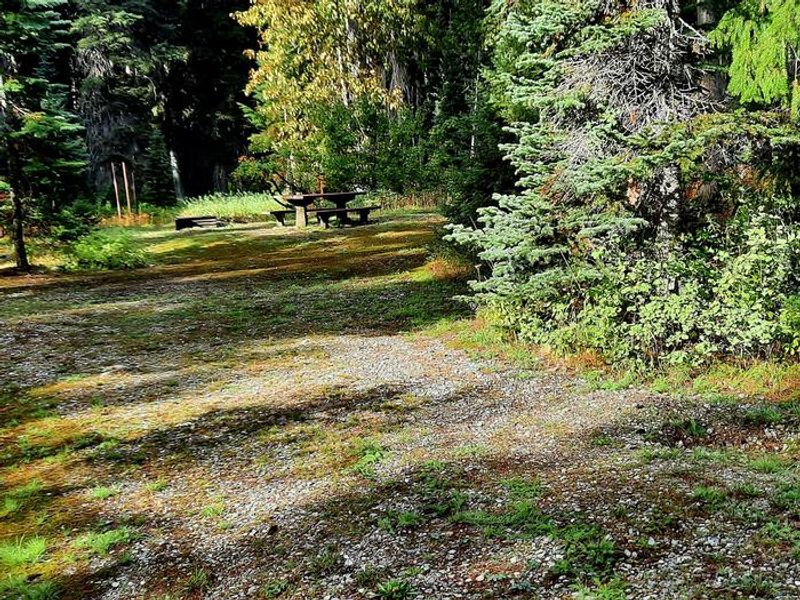
Phelps Creek Campground is a remote, primitive camping destination nestled near the confluence of Phelps Creek and the Chiwawa River in the Wenatchee River Ranger District. The campground offers 13 total sites: 7 standard tent sites and 6 equestrian sites, making it a popular staging area for horseback riding adventures and backpacking trips into the surrounding wilderness. Situated at 2,750 feet elevation, the campground provides access to Phelps Creek Trail and the backcountry beyond. Facilities are limited to vault toilets; there is no potable water available, so campers must bring their own supply. Sites accommodate a maximum vehicle/trailer length of 30 feet, and each site allows up to 2 vehicles maximum with either 2 tents or 1 RV and 1 tent. Reaching the campground requires driving approximately 22 miles on Chiwawa River Road (Forest Road 6200) from Highway 207. The final 12 miles are rough gravel and dirt, unsuitable for low clearance vehicles. Payment is handled on-site via the Recreation.gov mobile app Scan and Pay system.
Directions
From Leavenworth, head north on US-2 West for 15 miles. Turn right on WA-207 North and continue 4.4 miles. Turn right on Chiwawa Loop Road and stay right at the intersection. Take the second left onto Chiwawa River Road/Forest Road 6200 and follow it for about 22 miles. The road becomes gravel/dirt at the 11-mile point; continue another 12 miles to the campground. The final 12 miles are very rough and not suitable for low clearance vehicles.
Amenities
| Water | No |
| Fires Allowed | Yes |
| Toilets | Yes |
| Dump Station | No |
| Wifi | No |
| Pets Allowed | — |
| Showers | No |
| Electric Hookups | — |
| Water Hookups | — |
| Sewer Hookups | — |
| Camp Store | No |
| Price | $22 |
Vehicle
| Max RV Length | 30ft |
| Max Trailer Length | 30ft |
| Big Rig Friendly | No |
| Pull Through Sites | No |
Contact
| Phone | +1 (661) 702-1420 |
Cell Service
| AT&T | None |
| Verizon | None |
| T-Mobile | None |
Useful Links
| View on Recreation.gov | |
| USFS Phelps Creek Campground |
Availability
Photos

Community Posts
No posts yet. Be the first to share your experience!