USA 250 Shirt →
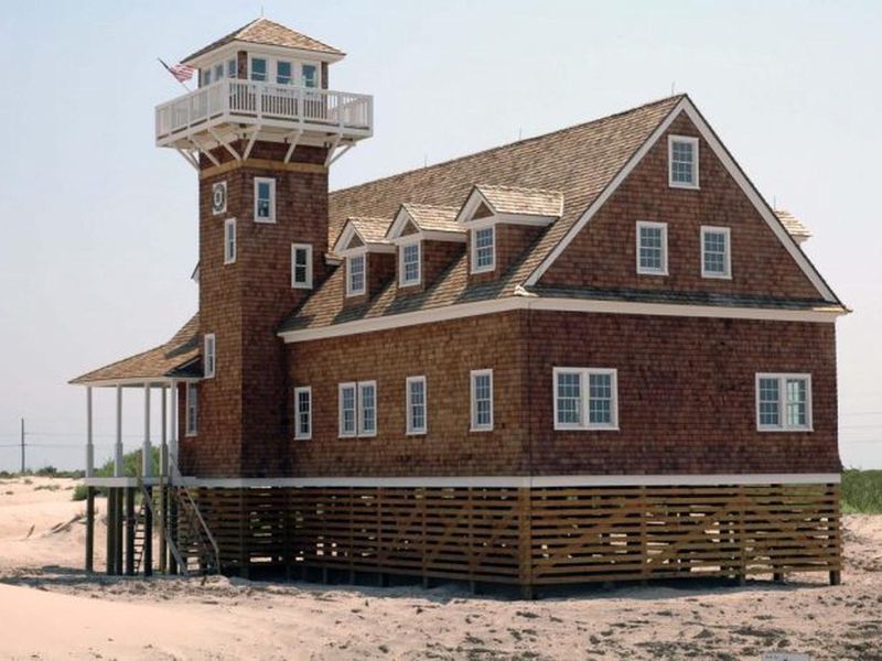
Oregon Inlet Life Saving Station
Open

Open year-round. Reservations available via Recreation.gov up to six months in advance. From Memorial Day through Labor Day, camping is limited to 14 days within a 30-day period. Beach safety closure currently in effect from Buxton Village to near Ramp 43 due to Hurricane Erin damage; this does not affect the campground itself, which is located north of this closure area.

Beach Hazards Statement issued September 22 at 10:23AM EDT until September 22 at 8:00PM EDT by NWS Newport/Morehead City NC

10:23 AM — 10:30 PM

* WHAT...For the Beach Hazards Statement, dangerous rip currents. For the Coastal Flood Watch, 2 to 3 feet of inundation above ground level possible in low- lying areas near shorelines and tidal waterways. * WHERE...Northern Outer Banks and Hatteras Island. * WHEN...For the Beach Hazards Statement, until 8 PM EDT this evening. For the Coastal Flood Watch, from Wednesday afternoon through Friday evening. * IMPACTS...Up to 2 to 3 feet of inundation above ground level is possible in some areas near shorelines and tidal waterways resulting in an elevated threat of property damage. Flooding may extend inland from the waterfront threatening some homes and businesses. Some roads and low lying property including parking lots, parks, lawns, and homes adjacent to the waterfront will experience shallow flooding. Vulnerable areas along Highway 12 on Ocracoke and Hatteras Island are especially at risk for inundation from the oceanside. Dangerous rip currents. * ADDITIONAL DETAILS...The most likely time for strong rip currents to occur is a couple hours either side of low tide, which will occur around 10:00 AM today.

Coastal Flood Watch issued September 22 at 10:23AM EDT until September 26 at 12:00AM EDT by NWS Newport/Morehead City NC

10:23 AM — 10:30 PM

* WHAT...For the Beach Hazards Statement, dangerous rip currents. For the Coastal Flood Watch, 2 to 3 feet of inundation above ground level possible in low- lying areas near shorelines and tidal waterways. * WHERE...Northern Outer Banks and Hatteras Island. * WHEN...For the Beach Hazards Statement, until 8 PM EDT this evening. For the Coastal Flood Watch, from Wednesday afternoon through Friday evening. * IMPACTS...Up to 2 to 3 feet of inundation above ground level is possible in some areas near shorelines and tidal waterways resulting in an elevated threat of property damage. Flooding may extend inland from the waterfront threatening some homes and businesses. Some roads and low lying property including parking lots, parks, lawns, and homes adjacent to the waterfront will experience shallow flooding. Vulnerable areas along Highway 12 on Ocracoke and Hatteras Island are especially at risk for inundation from the oceanside. Dangerous rip currents. * ADDITIONAL DETAILS...The most likely time for strong rip currents to occur is a couple hours either side of low tide, which will occur around 10:00 AM today.

About

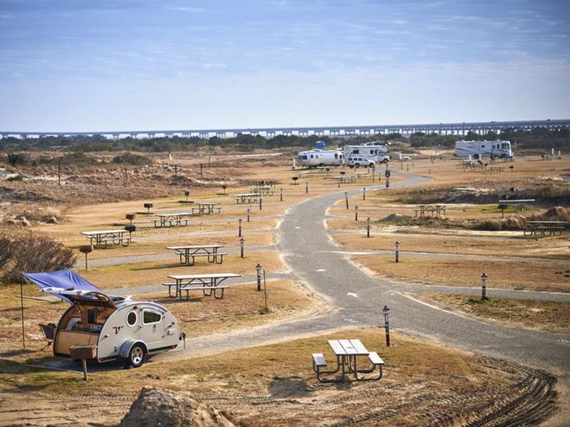
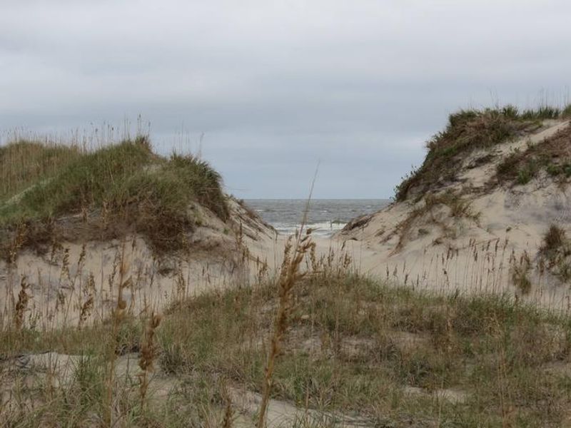
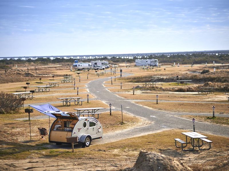
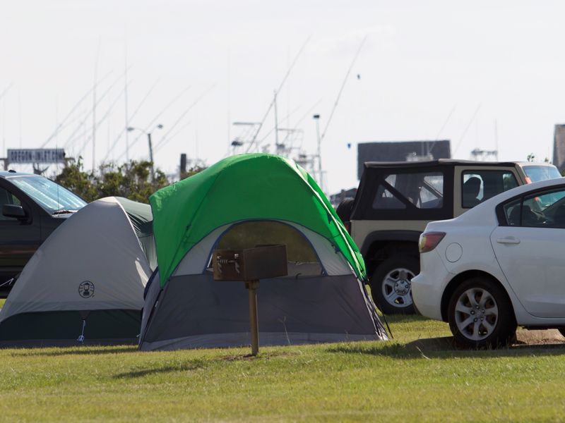
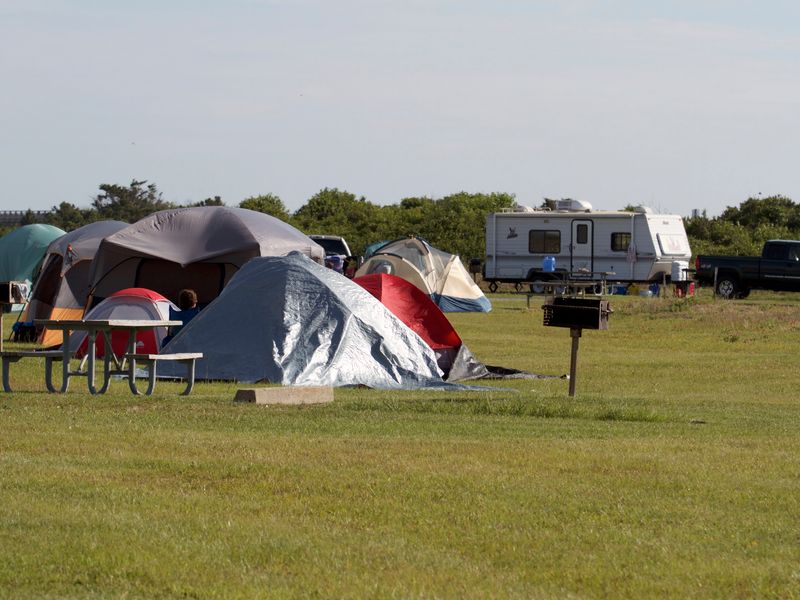
Oregon Inlet Campground sits on the barrier island's ocean side at Cape Hatteras National Seashore, offering direct beach access through the dunes to the Atlantic. The campground's 107 sites are spread across three loops (A, B, and C), each with its own bathhouse featuring flush toilets, potable water, and heated showers. Forty-seven sites include electric, water, and sewer hookups. All sites are exposed with no shade trees, and sandy soil requires longer tent stakes. The beach adjacent to the campground is accessible on foot or by vehicle with a Cape Hatteras Off-Road Vehicle Permit. Popular activities include fishing, swimming, surfing, birding, and shell hunting. The calmer Pamlico Sound waters to the west can be accessed at Oregon Inlet Fishing Center's public boat launch for crabbing, clamming, paddleboarding, and boating. The historic Bodie Island Lighthouse is four miles north on NC-12, open seasonally for climbs. Coquina Beach Day Use Area, with lifeguards from Memorial Day to Labor Day, is across from the lighthouse. Nags Head's full services are a short drive north.

Directions

From the north via US-158 East through Nags Head to the junction of NC-12 South. Continue on NC-12 South; the campground is on the left just before Bonner Bridge over Oregon Inlet. From the west, take US-64 East through Manteo to Nags Head and turn right onto NC-12 South.

Amenities

Water Yes
Fires Allowed No
Toilets Yes
Dump Station Yes
Wifi
Pets Allowed Yes
Showers Yes
Electric Hookups Yes
Water Hookups Yes
Sewer Hookups Yes
Camp Store
Price $28 - $70

Vehicle

Max RV Length 40ft
Max Trailer Length 40ft
Big Rig Friendly No
Pull Through Sites No

Contact

Phone +1 (252) 475-9054

Cell Service

AT&T Yes
Verizon Yes
T-Mobile Yes

Availability

Photos

Oregon Inlet Life Saving Station
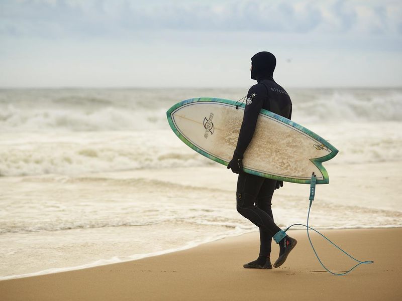
Surfing on the beaches of Cape Hatteras National Seashore
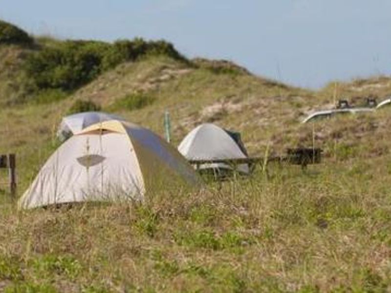
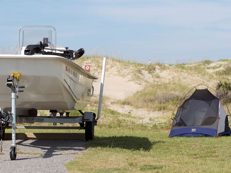
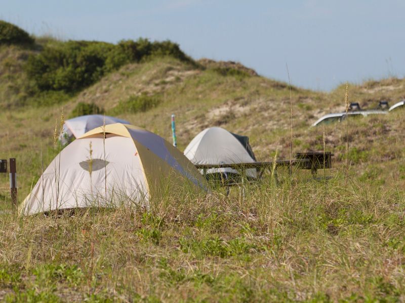
Tents nestled in the dunes
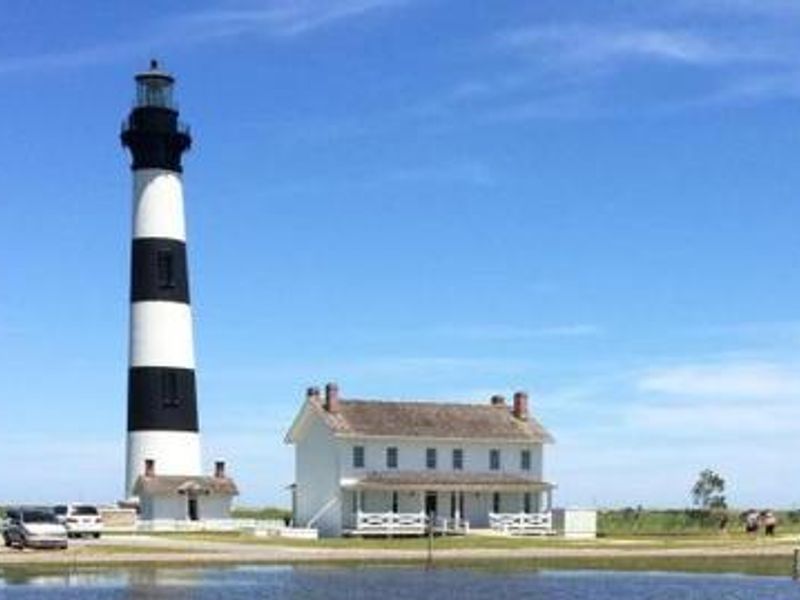
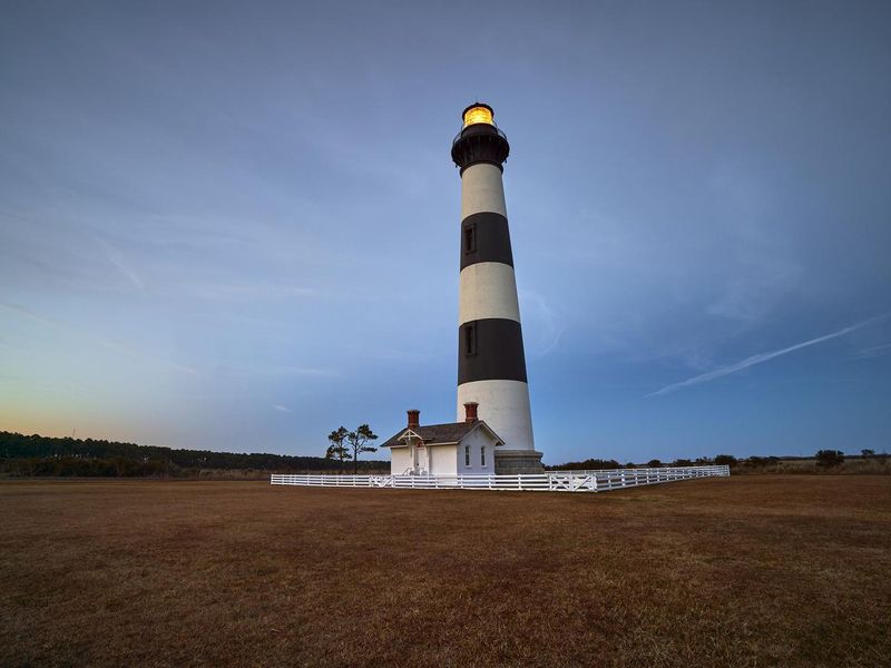
Nearby Bodie Island Lighthouse
Oregon Inlet Campground B and C Sections
The entrance to Oregon Inlet Campground
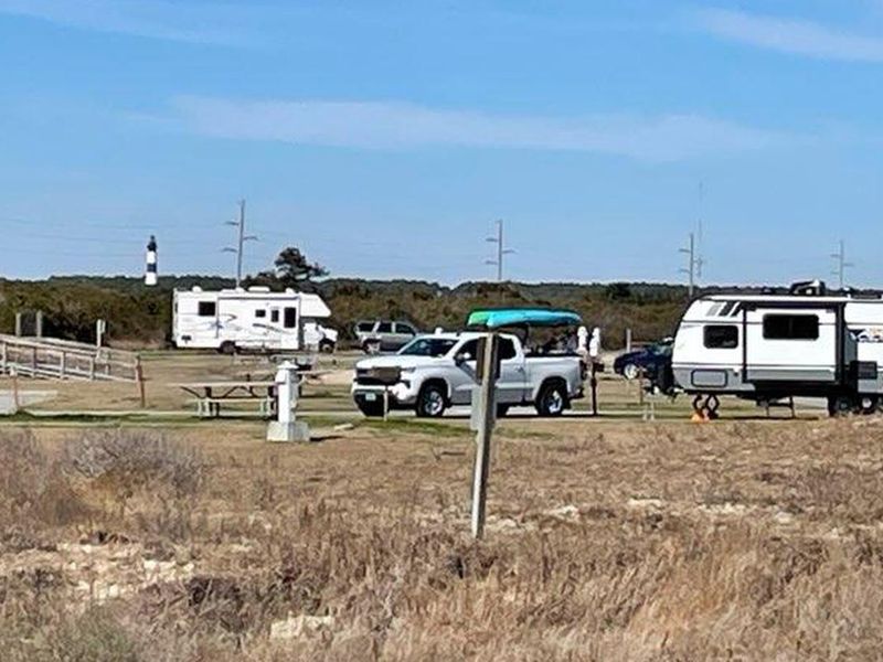
Oregon Inlet Campground with a view of the Bodie Island Lighthouse
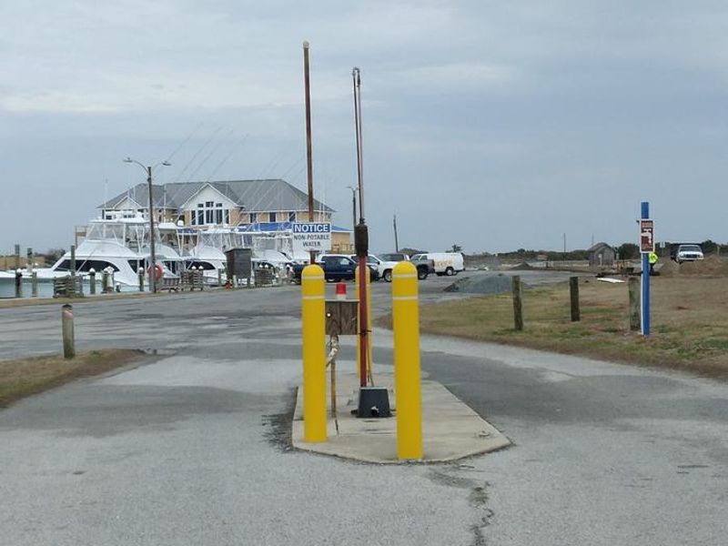
Oregon Inlet Campground RV Dump and Fill Station
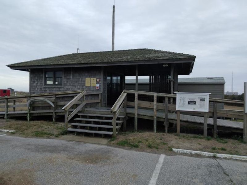
Campground Office
Dune at oregon Inlet Campground
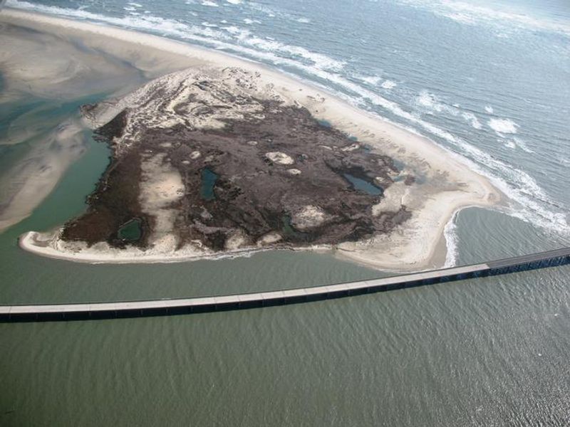
Oregon Inlet
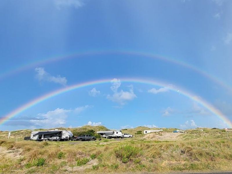
Rainbow over Oregon Inlet Campground
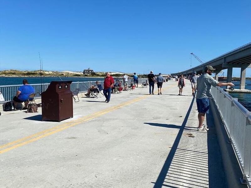
Fishing at Bonner Bridge Pier
View of the Bodie Island Lighthouse
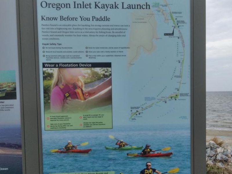
Kayak Launch at Oregon Inlet
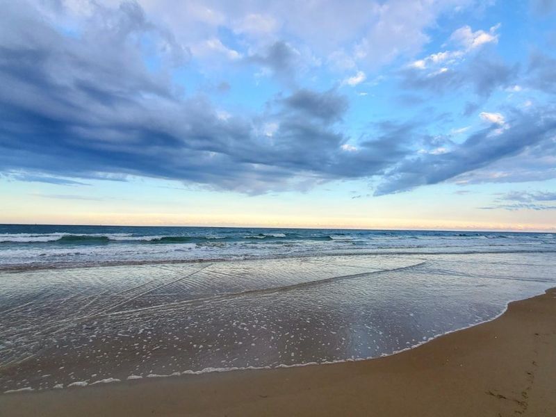
Pristine Beaches
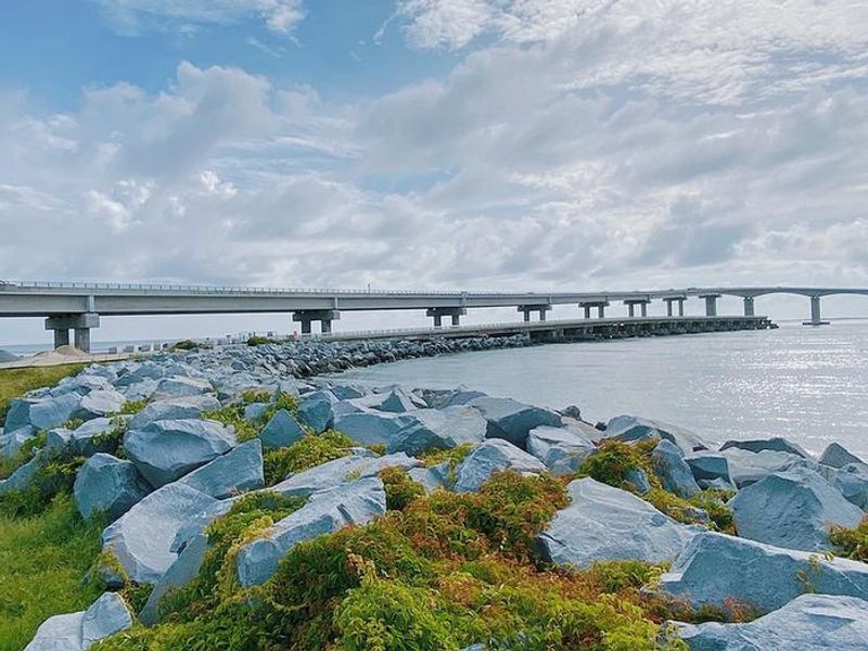
Nearby Bonner Bridge Pier at Oregon Inlet
Oregon Inlet Campground B and C Sections

Community Posts

No posts yet. Be the first to share your experience!