Cape Point Campground
Open for the spring-fall season. Reservations are same-day only through recreation.gov. Beach safety closure currently in effect from Buxton Village to near ORV Ramp 43 due to damaged oceanfront structures from Hurricane Erin. Old Lighthouse Beach lifeguard area is temporarily closed; lifeguards available at Frisco and Rodanthe Beach Access.
Flood Watch issued October 10 at 3:23PM EDT until October 11 at 2:00PM EDT by NWS Newport/Morehead City NC
* WHAT...Flooding caused by excessive rainfall continues to be possible. * WHERE...Most of coastal eastern North Carolina, including the following areas, Coastal Onslow, East Carteret, Hatteras Island, Inland Onslow, Jones, Mainland Dare, Mainland Hyde, Northern Outer Banks, Ocracoke Island, Pamlico, Southern Craven and West Carteret. * WHEN...Through Sunday afternoon. * IMPACTS...Excessive runoff may result in flooding of rivers, creeks, streams, and other low-lying and flood-prone locations. Flooding may occur in poor drainage and urban areas. * ADDITIONAL DETAILS... - A plume of tropical moisture will overspread the area and will combine with strong lift and weak to moderate instability to support areas of intense rainfall rates and an accompanying risk of flooding. Total rainfall of 3 to 5 inches are forecast, with locally higher amounts possible. The highest amounts are expected to be where bands of thunderstorms are most persistent. - http://www.weather.gov/safety/flood
Beach Hazards Statement issued October 10 at 8:13PM EDT until October 10 at 8:00PM EDT by NWS Newport/Morehead City NC
* WHAT...For the High Surf Advisory, large breaking waves of 5 to 8 feet in the surf zone. For the Beach Hazards Statement, dangerous rip currents and large breaking waves expected in the surf zone. * WHERE...Hatteras Island beaches, and Ocracoke Island beaches. * WHEN...For the High Surf Advisory, until 8 PM EDT Sunday. For the Beach Hazards Statement, from 8 AM EDT Sunday through Sunday evening. * IMPACTS...Dangerous swimming and surfing conditions and localized beach erosion. Rip currents can sweep even the best swimmers away from shore into deeper water. Dangerous shore break can throw a swimmer or surfer head first into the bottom causing neck and back injuries. * ADDITIONAL DETAILS...The most likely time for strong rip currents to occur is a couple hours either side of low tide, which will occur around 3:00 PM Sunday.
Beach Hazards Statement issued October 10 at 8:13PM EDT until October 11 at 8:00PM EDT by NWS Newport/Morehead City NC
* WHAT...For the High Surf Advisory, large breaking waves of 5 to 8 feet in the surf zone. For the Beach Hazards Statement, dangerous rip currents and large breaking waves expected in the surf zone. * WHERE...Hatteras Island beaches, and Ocracoke Island beaches. * WHEN...For the High Surf Advisory, until 8 PM EDT Sunday. For the Beach Hazards Statement, from 8 AM EDT Sunday through Sunday evening. * IMPACTS...Dangerous swimming and surfing conditions and localized beach erosion. Rip currents can sweep even the best swimmers away from shore into deeper water. Dangerous shore break can throw a swimmer or surfer head first into the bottom causing neck and back injuries. * ADDITIONAL DETAILS...The most likely time for strong rip currents to occur is a couple hours either side of low tide, which will occur around 3:00 PM Sunday.
About
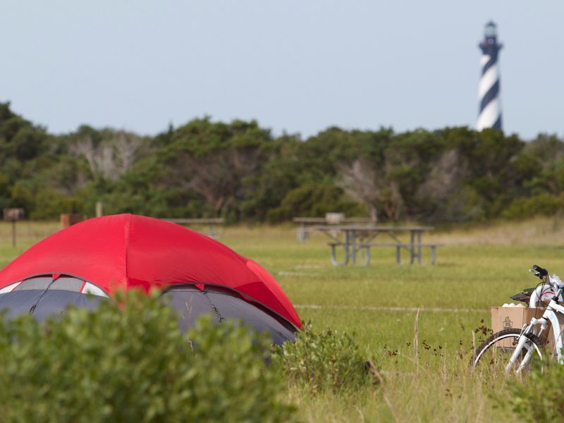
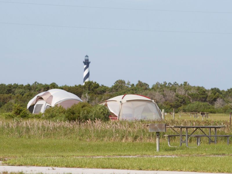
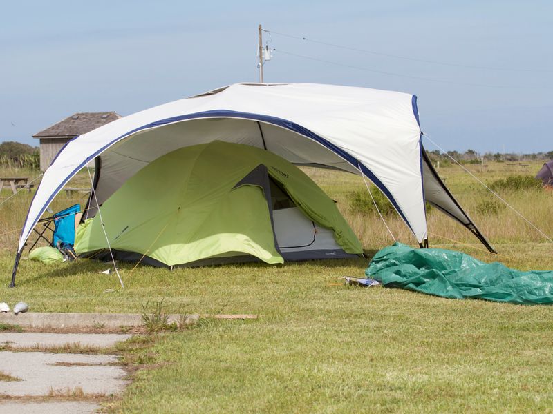
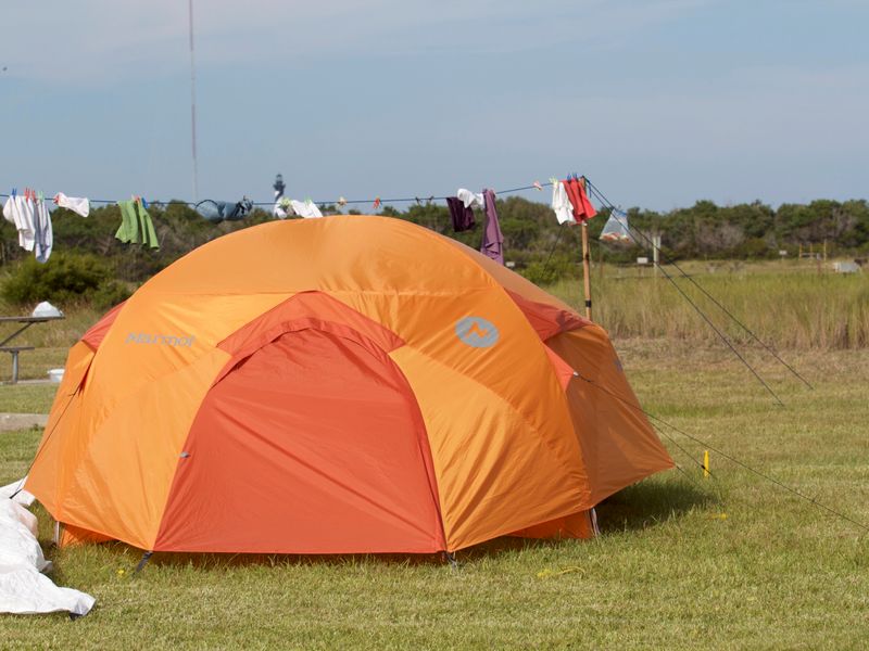
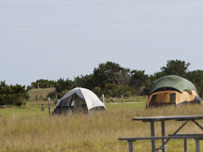
Cape Point Campground occupies a prime location on Hatteras Island within Cape Hatteras National Seashore, just southwest of the tallest brick lighthouse in the United States. The campground sits on the ocean side, separated from the beach by barrier dunes that provide a short walk to the Atlantic. Cape Point itself is renowned among anglers for trophy catches and has been a surfing destination for decades. The campground offers 202 sites spread across multiple loops (A through K), with Loops D, E, and F reserved for tent camping only. Each site includes a paved parking pad, picnic table, and charcoal grill. Facilities include four restroom buildings with flush toilets, potable water spigots throughout, and free cold outdoor showers. A dump station and water fill station are located on Lighthouse Road. No utility hookups are available. The sandy soil means longer tent stakes are recommended, and there are no shade trees. Mosquitoes can be problematic, so bring insect repellent and netting. The campground is in a low-lying area prone to flooding after heavy rain, and reservations may be canceled with limited notice due to weather conditions.
Directions
From NC-12 in Buxton, turn onto Lighthouse Road near the Cape Hatteras Light Station Historic District. Follow Lighthouse Road to the campground, located near Beach Access Ramp 44.
Amenities
| Water | Yes |
| Fires Allowed | No |
| Toilets | Yes |
| Dump Station | Yes |
| Wifi | — |
| Pets Allowed | Yes |
| Showers | Yes |
| Electric Hookups | — |
| Water Hookups | — |
| Sewer Hookups | — |
| Camp Store | — |
| Price | $20 |
Vehicle
| Max RV Length | 40ft |
| Max Trailer Length | 40ft |
| Big Rig Friendly | No |
| Pull Through Sites | — |
Contact
| Phone | +1 (252) 475-9054 |
Cell Service
| AT&T | Yes |
| Verizon | Yes |
| T-Mobile | Yes |
Photos
Community Posts
No posts yet. Be the first to share your experience!