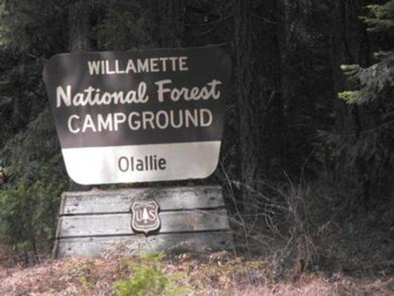
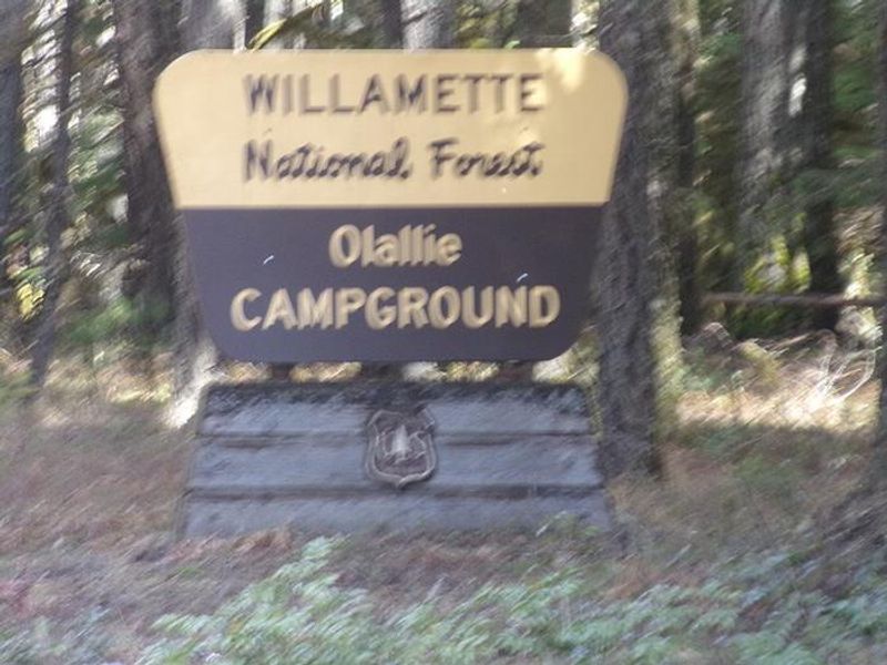
Olallie On Mckenzie Highway
Open for the 2026 season, operating April through October. 15 sites are reservable up to 6 months in advance via Recreation.gov; one site is first-come, first-served. Fire bans are common during summer months.
Alcohol Prohibitions
This Order describes acts that are prohibited upon lands, roads and trails within the National Forest System administered by the Forest Service Pacific Northwest Region in regards to alcoholic beverages.
Aquatic Invasive Species
This Order prohibits 1) possessing, storing, or transporting any aquatic invasive animal species AND 2) prohibits possessing, storing, or transporting any aquatic or riparian invasive plant species - on National Forest System lands in the Pacific Northwest Region as specified in the Order.
Restrictions on Use of Forage and Mulch Products
This Order prohibits unloading, storing, or using any straw, hay, grain, seed, or other forage or mulch products that are not state-certified weed free on the National Forest System lands, roads or trails in any Closure Area as specific in the Order. Some examples of these include hay bales, hay…
About
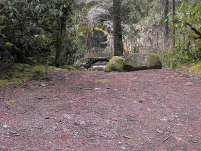
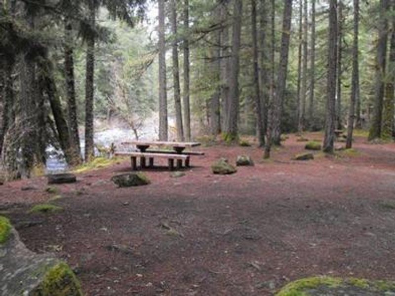
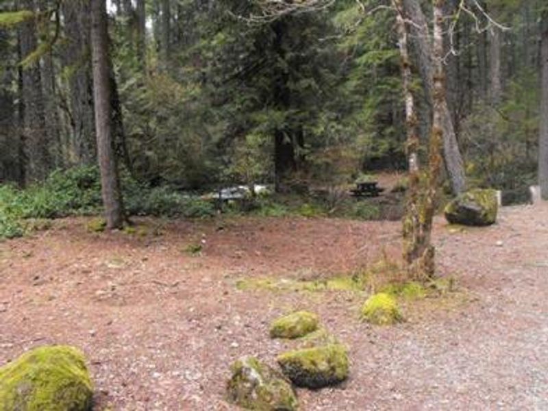
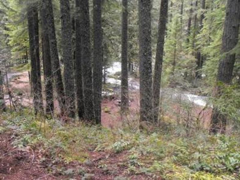
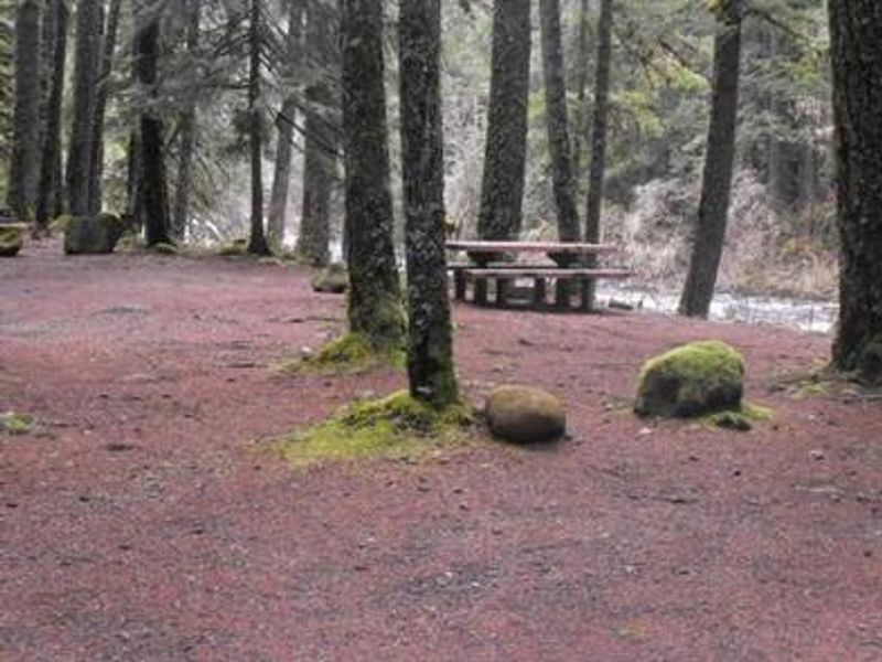
Olallie Campground is nestled along the McKenzie River and Olallie Creek in the heart of Oregon's Willamette National Forest. The campground features two distinct loops: the lower loop offers mesmerizing views of both the river and the creek, while the upper loop sits further in the trees with many sites facing the creek. The McKenzie River, a 90-mile tributary of the Willamette River, provides excellent fishing, rafting, and swimming opportunities. The campground has 16 sites, with 15 reservable through Recreation.gov and one first-come, first-served. Most sites accommodate vehicles and trailers up to 35 feet, though four sites have short parking spurs on uneven slopes and are recommended for tents only. Amenities include two accessible double vault toilet buildings, potable water from a hand pump on the lower loop, picnic tables, fire rings, and trash receptacles. A camp host is on-site and firewood is available for purchase. Nearby attractions include the McKenzie Pass-Santiam Pass National Scenic Byway and the 26-mile McKenzie River National Recreation Trail, renowned for world-class mountain biking and hiking. A day-use picnic area is also available at the campground.
Directions
From Eugene, take I-105 east to McKenzie Highway 126 for 55 miles to McKenzie Bridge. Continue 11 miles east on Highway 126. Olallie Campground is on the left side of the road.
Amenities
| Water | Yes |
| Fires Allowed | Yes |
| Toilets | Yes |
| Dump Station | — |
| Wifi | — |
| Pets Allowed | Yes |
| Showers | No |
| Electric Hookups | — |
| Water Hookups | — |
| Sewer Hookups | — |
| Camp Store | — |
| Price | $25 |
Vehicle
| Max RV Length | 40ft |
| Max Trailer Length | 40ft |
| Big Rig Friendly | No |
| Pull Through Sites | No |
Contact
| sm.fs.mf@usda.gov | |
| Phone | +1 (541) 822-3381 |
Cell Service
| AT&T | None |
| Verizon | None |
| T-Mobile | None |
Availability
Photos
Community Posts
No posts yet. Be the first to share your experience!