Oak Fork
Closed for the season. The campground typically opens the Friday of Memorial Day weekend and operates through the second full weekend of September. Reservations are available through Recreation.gov.
Alcohol Prohibitions
This Order describes acts that are prohibited upon lands, roads and trails within the National Forest System administered by the Forest Service Pacific Northwest Region in regards to alcoholic beverages.
Aquatic Invasive Species
This Order prohibits 1) possessing, storing, or transporting any aquatic invasive animal species AND 2) prohibits possessing, storing, or transporting any aquatic or riparian invasive plant species - on National Forest System lands in the Pacific Northwest Region as specified in the Order.
Restrictions on Use of Forage and Mulch Products
This Order prohibits unloading, storing, or using any straw, hay, grain, seed, or other forage or mulch products that are not state-certified weed free on the National Forest System lands, roads or trails in any Closure Area as specific in the Order. Some examples of these include hay bales, hay…
About
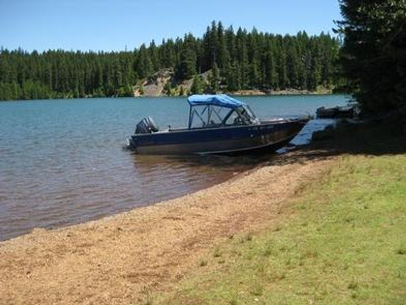
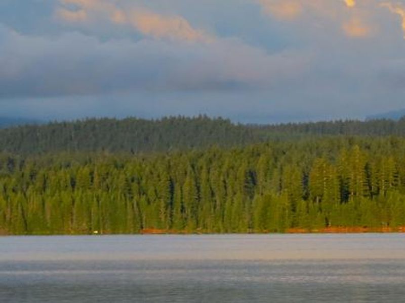
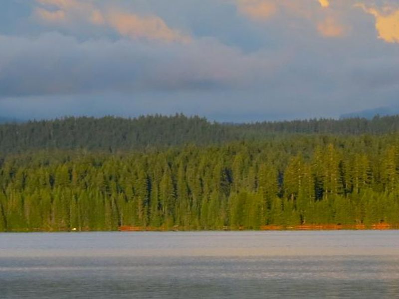
Oak Fork Campground occupies a prime location on the southeastern shore of Timothy Lake, a 1,400-acre reservoir created in 1956 as part of the Oak Grove Hydroelectric Project. Situated at 3,400 feet in Mt. Hood National Forest, the campground offers 50 total sites: 36 standard single-family campsites suitable for tents or RVs, 6 rustic sleeping cabins, and 8 hike-to tent sites. Each standard site includes a picnic table and fire grill. Timothy Lake provides excellent recreation opportunities including fishing for kokanee salmon and various trout species, boating, sailing, swimming, and windsurfing. The 12-mile Timothy Lake Trail loops around the lake on relatively level terrain and is popular for hiking, mountain biking, and horseback riding. It connects to the Pacific Crest National Scenic Trail. The historic Clackamas Lake Ranger Station, built in the early 1900s, lies less than 2 miles away. The campground is approximately 27 miles from the base of Mt. Hood, Oregon's highest peak. Timberline Lodge in Government Camp offers scenic views of the snow-capped mountain.
Directions
From Sandy, Oregon, travel east on Highway 26 for approximately 40 miles to Skyline Road/Road 42. Turn right on Skyline Road and continue south for about 9 miles. Turn right on Forest Service Road 57, and then turn right again at the Oak Fork Campground entrance sign.
Nearby Campgrounds
Amenities
| Water | Yes |
| Fires Allowed | Yes |
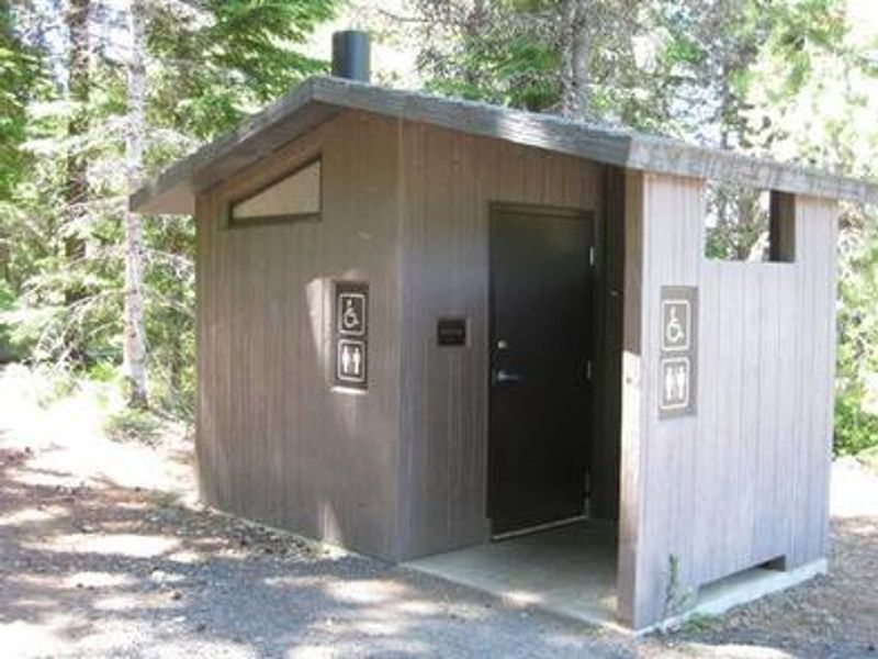
| Toilets | Yes |
| Dump Station | — |
| Wifi | No |
| Pets Allowed | Yes |
| Showers | No |
| Electric Hookups | — |
| Water Hookups | — |
| Sewer Hookups | — |
| Camp Store | No |
| Price | $24 - $75 |
Vehicle
| Max RV Length | 35ft |
| Max Trailer Length | — |
| Big Rig Friendly | No |
| Pull Through Sites | No |
Contact
| timothylake@pgn.com | |
| Phone | +1 (503) 464-8515 |
Cell Service
| AT&T | None |
| Verizon | Yes |
| T-Mobile | None |
Availability
Photos
Community Posts
No posts yet. Be the first to share your experience!