Michael J. Kirwan Damsite Recreation Area
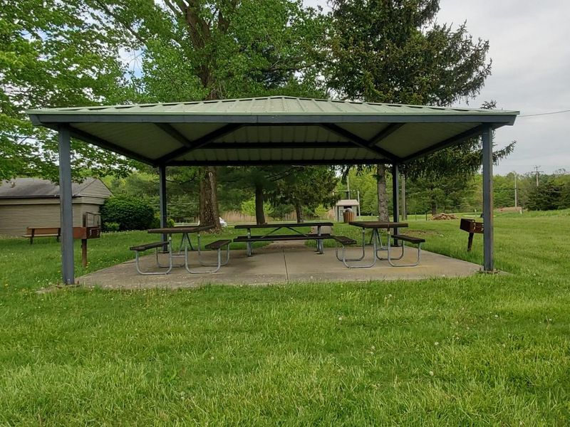
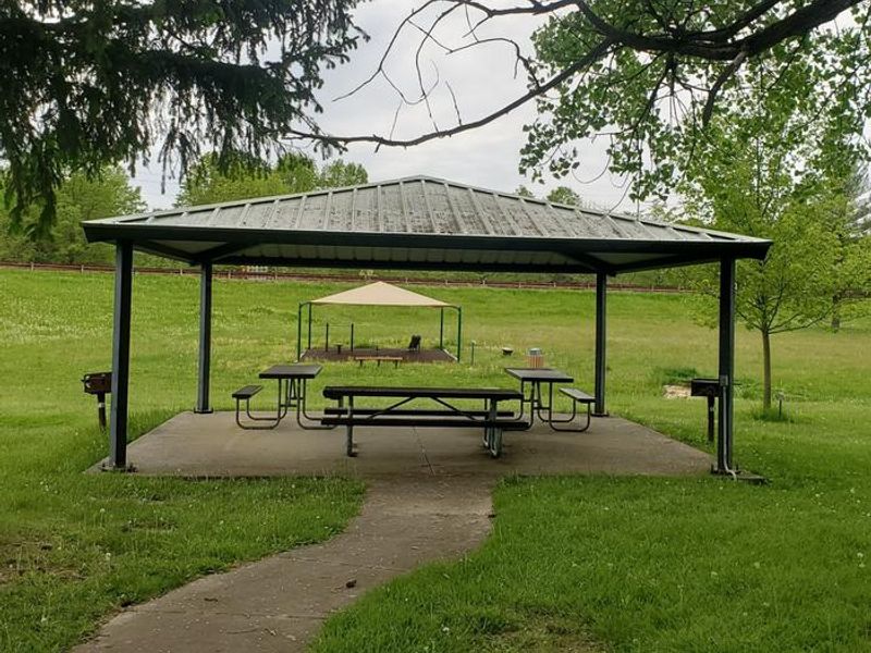
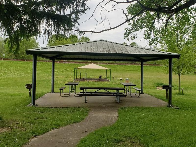
This is a day-use area only with no overnight camping allowed. The shelter is reservable May through September; first-come-first-serve the remainder of the year. Shelter must be vacated by 9pm.
Special Weather Statement issued July 21 at 8:18PM EDT by NWS Cleveland OH
At 818 PM EDT, Doppler radar was tracking a strong thunderstorm near Hartville, or 11 miles south of Ravenna, moving southeast at 30 mph. HAZARD...Wind gusts up to 50 mph. SOURCE...Radar indicated. IMPACT...Gusty winds could knock down tree limbs and blow around unsecured objects. Locations impacted include... Alliance, Sebring, Randolph, Atwater, Beloit, Limaville, Maple Ridge, and Maximo.
About
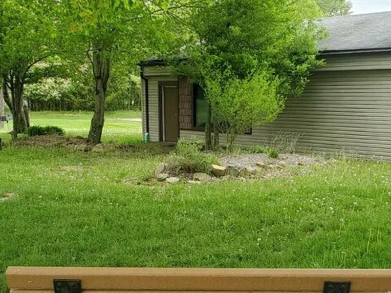
Michael J. Kirwan Damsite Recreation Area is a day-use facility operated by the U.S. Army Corps of Engineers, located at the Michael J. Kirwan Dam on the West Branch of the Mahoning River. This is not an overnight campground; the site explicitly prohibits overnight camping. The area provides easy access to the dam causeway, a popular destination for hiking, biking, and fishing. The recreation area features a reservable shelter available from May through September via Recreation.gov, operating first-come-first-serve the rest of the year. The shelter includes electric hookups, 3 picnic tables, and 2 grills, and operates on half-day booking slots (9am-3pm or 3pm-9pm). All visitors must vacate by 9pm. The site also includes exercise equipment, a swing set, gardens, and the nearby Visitor Center with interpretive programs and a wildlife viewing platform. For overnight camping in this area, visitors should look to the adjacent West Branch State Park Campground operated by Ohio DNR, which offers over 200 electric and full-hookup sites with showers, flush toilets, and a dump station.
Directions
From I-76, take Exit 48 (State Route 225) and travel north 2 miles to Cable Line Road. Turn left on Cable Line Road. Go 1 mile to Wayland Road and turn right. Travel approximately 3/4 mile; the Visitor Center and recreation area will be on your left.
Nearby Campgrounds
Amenities
| Water | — |
| Fires Allowed | — |
| Toilets | — |
| Dump Station | No |
| Wifi | — |
| Pets Allowed | — |
| Showers | No |
| Electric Hookups | Yes |
| Water Hookups | No |
| Sewer Hookups | No |
| Camp Store | No |
| Price | $28 |
Vehicle
| Max RV Length | — |
| Max Trailer Length | — |
| Big Rig Friendly | — |
| Pull Through Sites | No |
Contact
| ashley.m.ritenour@usace.army.mil | |
| Phone | +1 (330) 358-2622 |
Cell Service
| AT&T | None |
| Verizon | None |
| T-Mobile | None |
Useful Links
| View on Recreation.gov |
Availability
Photos
Community Posts
No posts yet. Be the first to share your experience!