May Creek Cabin
Closed for elk calving season from April 15 through May 20. Reopens May 21, 2026. Reservations available via Recreation.gov.
Northern Region Camping & Target Restrictions, Pallet Prohibition
This order defines the maximum length of occupation at a single location or cumulatively at any number of locations within a calendar year, within the states of Montana, North Dakota, South Dakota, and Idaho
Weed Free Forage & Mulch Products Order for the Northern Region
It is illegal to possess, store or transport straw, hay, grain, seed or other forage or mulch products on Forest Service lands without documentation that the product is certified as “weed free” by a state certification process that meets or exceeds the North American Weed Free Forage standards.
R1-2023-02 - NCDE Food and Wildlife Attractant Storage Order
Northern Continental Divide Ecosystem Food/Wildlife Attractant Storage Order for the Flathead, Lolo, Kootenai, Helena-Lewis and Clark, and Beaverhead-Deerlodge National Forests within the Northern Continental Divide Ecosystem.
About
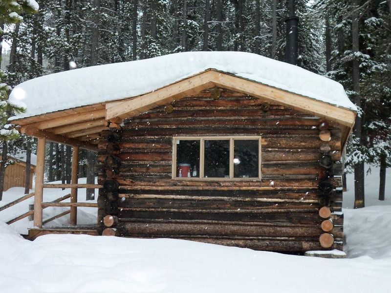
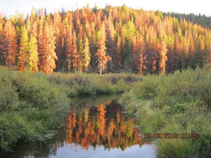
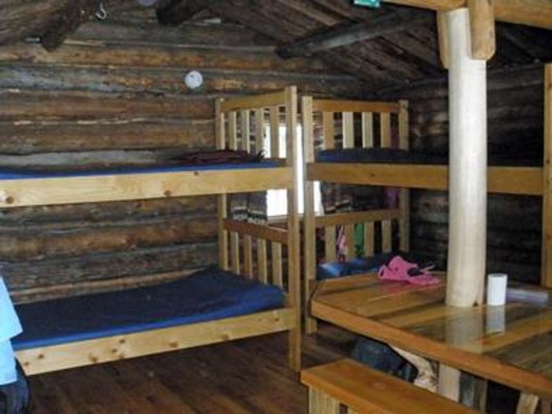
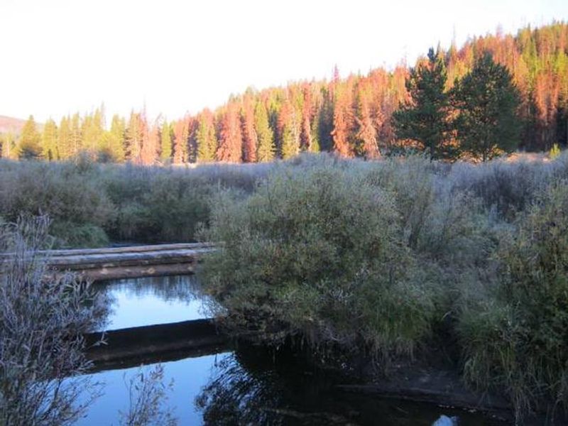
May Creek Cabin is a historic miner's cabin built in the early 1900s, restored for public rental in 1993 and further enhanced in 2011. Situated at 6,300 feet in the Anaconda Mountain Range of the Beaverhead-Deerlodge National Forest, the rustic cabin sits near the banks of May Creek and provides a true backcountry experience on the Lewis and Clark National Historic Trail. The one-room wood-frame structure accommodates up to four guests on bunk beds with foam mattresses. Amenities include a wood-burning stove for heat, a propane stove and flat-topped wood stove for cooking, a table with benches, basic cooking and eating utensils, an axe, shovel, and propane lantern. Firewood is provided from September 16 through June 15. A primitive vault toilet outhouse is located outside. Guests must bring all water for drinking and cooking, bedding, food, toilet paper, flashlights, garbage bags, and 16-ounce propane canisters. There is no electricity, running water, or cell service. The cabin is accessed by hiking or skiing approximately 2 miles south from May Creek Campground along the marked May Creek Trail. Be aware of bear activity and potential avalanche danger in winter. The area serves as an elk calving zone, resulting in annual closures from April 15 through May 20.
Directions
From Wisdom, Montana, travel west on Highway 43 for approximately 16 miles to May Creek Campground. Park at the campground (winter: use the plowed lot near the highway entrance; summer: drive to the fence at the south end of the campground). Hike or ski south along the marked May Creek Trail for about 2 miles. The cabin is on the east side of the creek at the edge of a large meadow, marked by blue diamond stakes.
Amenities
| Water | No |
| Fires Allowed | — |
| Toilets | Yes |
| Dump Station | No |
| Wifi | No |
| Pets Allowed | — |
| Showers | No |
| Electric Hookups | — |
| Water Hookups | — |
| Sewer Hookups | — |
| Camp Store | No |
| Price | $45 |
Vehicle
| Max RV Length | — |
| Max Trailer Length | — |
| Big Rig Friendly | No |
| Pull Through Sites | No |
Contact
| Phone | +1 (406) 689-3243 |
Cell Service
| AT&T | None |
| Verizon | None |
| T-Mobile | None |
Availability
Photos


Community Posts
No posts yet. Be the first to share your experience!