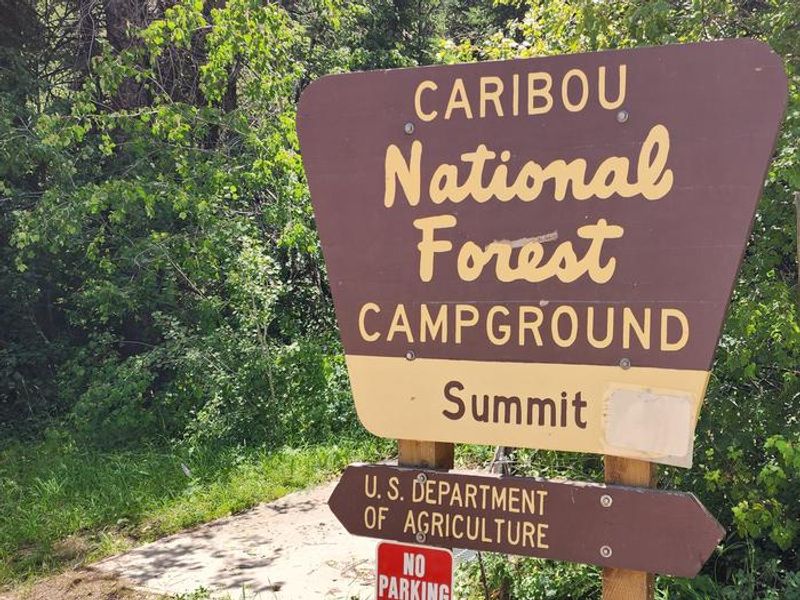
Malad Summit Campground
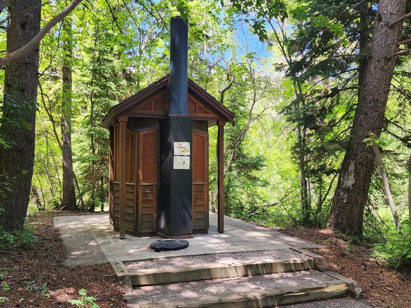
Closed for the season. Typically opens late May through early September with full services including vault toilets and drinking water. Off-season camping may be available first-come, first-served when roads are accessible, but water and toilet facilities are not available.
Winter Weather Advisory issued November 19 at 1:06PM MST until November 21 at 5:00AM MST by NWS Pocatello ID
* WHAT...Snow expected. Total snow accumulations between 2 and 4 inches for valley floors with 4-8 inches expected in the higher terrain up to 6000 ft. 6-10 inches expected for elevations greater than 6000 ft. Winds gusting as high as 35 mph. Considerable uncertainty remains in exact amounts in the lower elevations and final totals could end up a few inches higher. Stay tuned to future forecast updates as things remain fluid. * WHERE...Beaverhead - Lemhi Highlands, Centennial Mountains - Island Park, Teton Valley, Blackfoot Mountains, Caribou Range, Franklin/Eastern Oneida Region, Lower Snake River Plain, Marsh and Arbon Highlands, and Upper Snake River Plain. * WHEN...From 11 PM this evening to 5 AM MST Saturday. * IMPACTS...Travel could be very difficult. The hazardous conditions will impact the Friday morning and evening commutes.
Weed Free Hay Order
This Order requires that non-pelletized hay, straw, or mulch is certified as weed free by the state where the product originated.
04-15-26-310 Masa Falls: Ashton Island Park Ranger District Area and Road Closure
The purpose of this Order is to protect property and the public during construction activities.
About
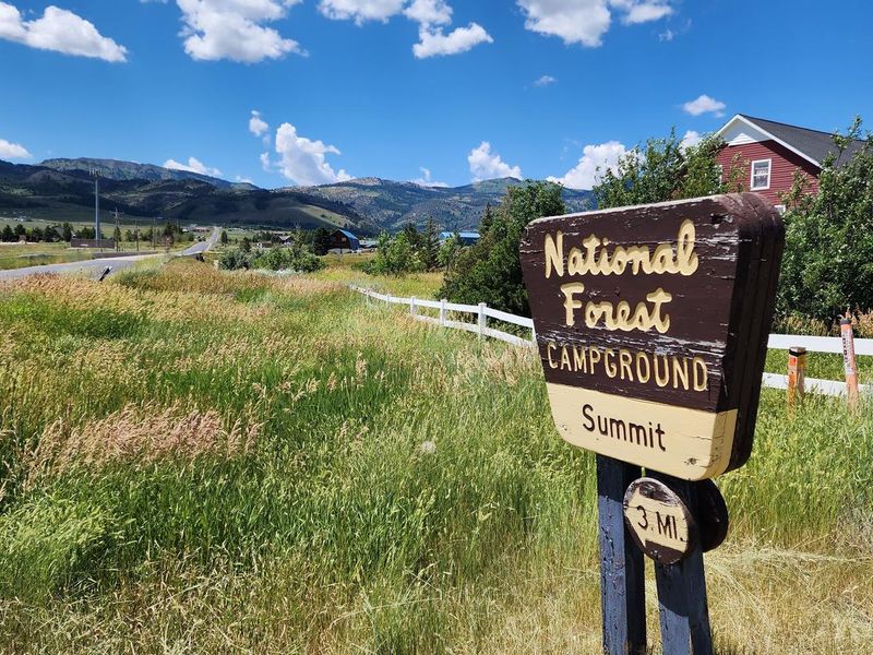
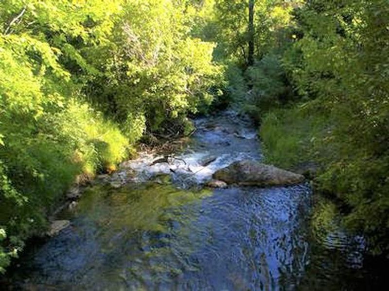
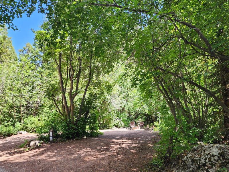
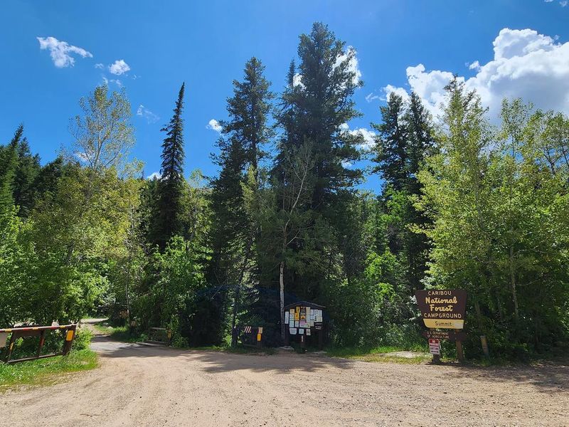
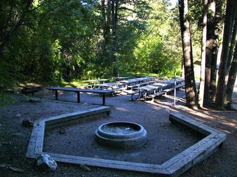
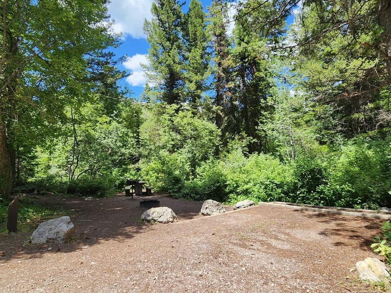
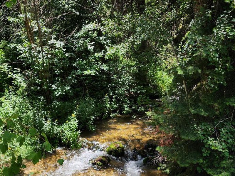
Malad Summit Campground sits at 6,100 feet elevation in a shaded forest of maple and Douglas fir trees along Mill Creek in the Caribou-Targhee National Forest. Located 14 miles north of Malad, Idaho, the campground offers a mix of single-family sites, a double site, and a large group site that accommodates up to 125 people. Each site features a picnic table, fire ring with grill, and tent pad, with gravel parking areas throughout. Mill Creek provides opportunities for cutthroat and rainbow trout fishing. The area serves as a hub for trail users, with the 12-mile Summit Trail connecting to Farmers Canyon, East Elkhorn, and Wright Creek trails. Old Canyon and South Canyon trails begin nearby. ATVs and OHVs are permitted on designated trails but not within the campground itself. The campground operates with full services from late May through early September, when vault toilets and drinking water are available. Off-season access may be possible on a first-come, first-served basis, but winter road closures and lack of facilities apply. The campground is managed by Pinnacle Parks LLC under a special use permit.
Directions
From Malad, travel north on Interstate 15 for 11 miles to exit 22 (Devil Creek Reservoir). Continue just over 3 miles north on Highway 191. Turn west and cross the highway onto Forest Road 041, then continue just over 3 miles on a maintained gravel road to the campground.
Location
Amenities
| Water | Yes |
| Fires Allowed | Yes |
| Toilets | Yes |
| Dump Station | No |
| Wifi | No |
| Pets Allowed | Yes |
| Showers | No |
| Electric Hookups | — |
| Water Hookups | — |
| Sewer Hookups | — |
| Camp Store | No |
| Price | $40 - $80 |
Vehicle
| Max RV Length | 125ft |
| Max Trailer Length | 125ft |
| Big Rig Friendly | Yes |
| Pull Through Sites | No |
Contact
| Phone | +1 (208) 757-3999 |
Cell Service
| AT&T | None |
| Verizon | None |
| T-Mobile | None |
Availability
Photos

Community Posts
No posts yet. Be the first to share your experience!